The best walks and hikes around Hörsteiner Lake
4.6
(9130)
37,374
hikers
1,471
hikes
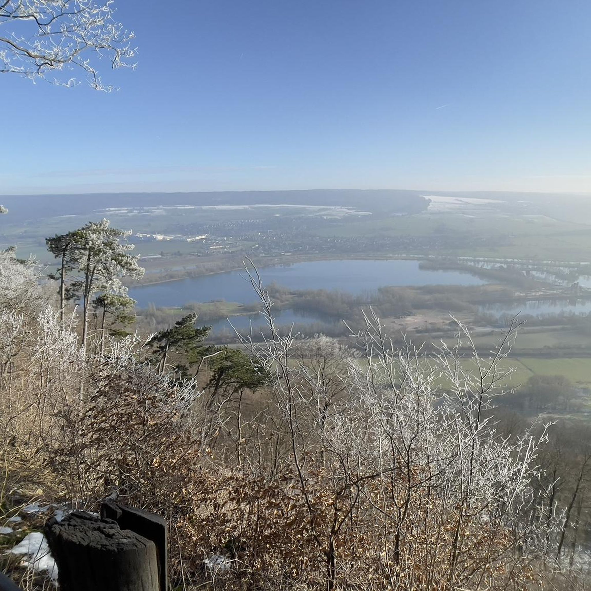
Hiking around Hörsteiner Lake offers diverse landscapes, integrating the largest lake in Lower Franconia with unique natural features. The region features the Alzenauer Sande Nature Reserve, characterized by open sand areas, sparse pine forests, and dry-warm sand grasslands. It is also part of the Vorspessartseen, providing access to the extensive forests and hills of the Spessart Nature Park, alongside views of the Main River Valley and Hörsteiner Weinberge vineyards.
Best hiking trails around Hörsteiner Lake
- The most popular hiking route…
Last updated: July 1, 2026
4.7
(7)
21
hikers
5.42km
01:24
30m
30m
Easy hike. Great for any fitness level. Easily-accessible paths. Suitable for all skill levels.
4.7
(23)
79
hikers
14.0km
03:52
250m
250m
Moderate hike. Good fitness required. Easily-accessible paths. Suitable for all skill levels.

Sign up for free
4.8
(28)
73
hikers
Hard hike. Very good fitness required. Easily-accessible paths. Suitable for all skill levels.
4.8
(73)
264
hikers
Moderate hike. Good fitness required. Easily-accessible paths. Suitable for all skill levels.
4.4
(5)
21
hikers
22.3km
06:19
490m
490m
Hard hike. Very good fitness required. Easily-accessible paths. Suitable for all skill levels.
Get access to more routes and recommendations from other explorers.
Sign up for free
Already have an account?
Our route recommendations are based on thousands of hikes, rides, and runs completed by other people on komoot.
Start today with a free account
Your next adventure awaits.
Login or Signup
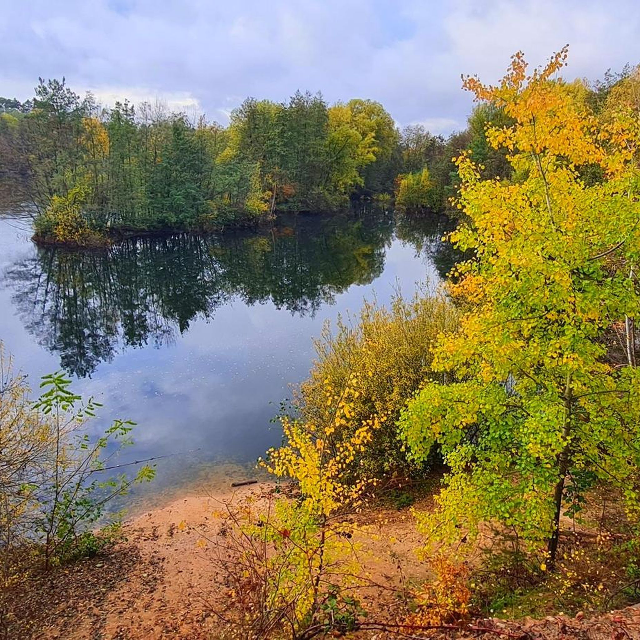
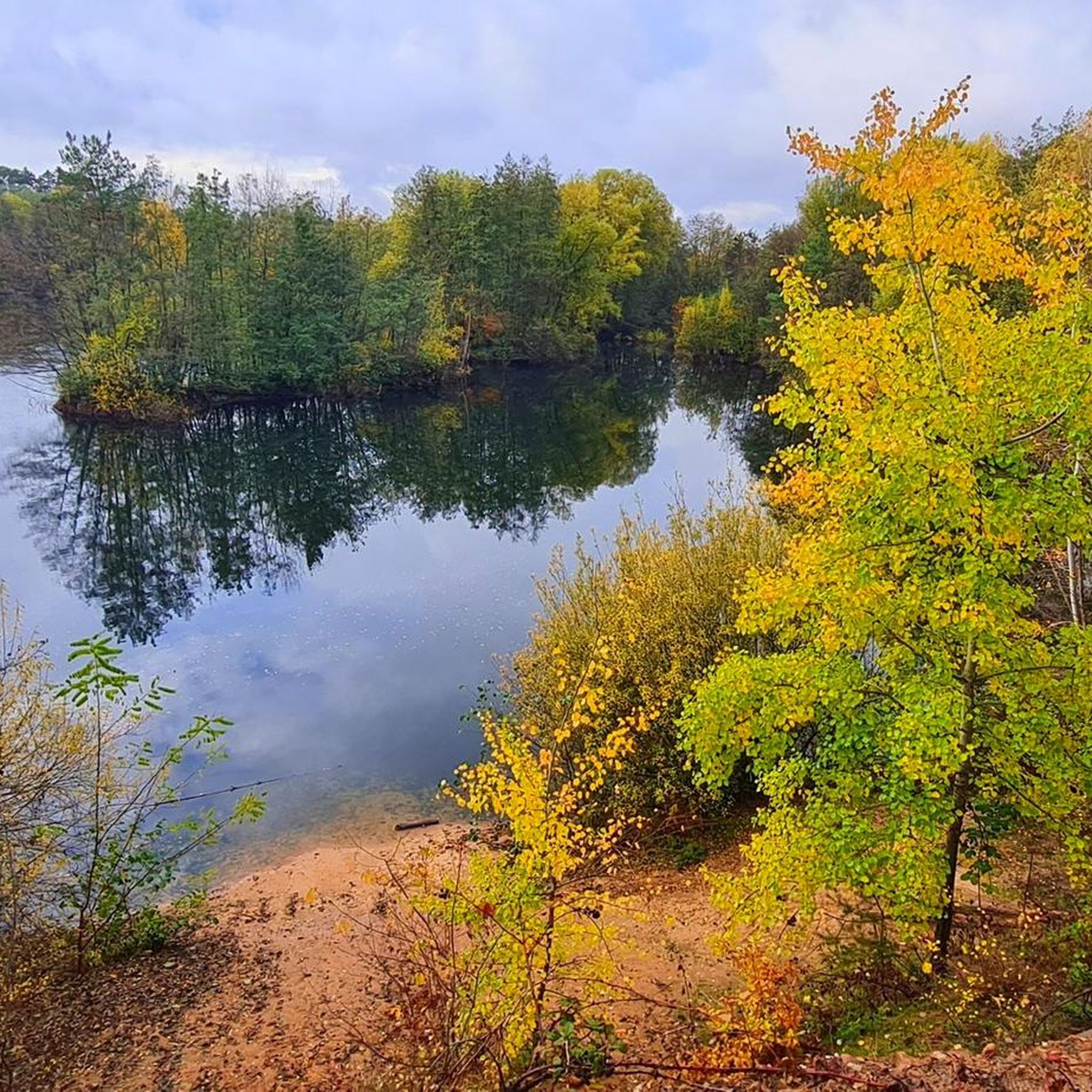
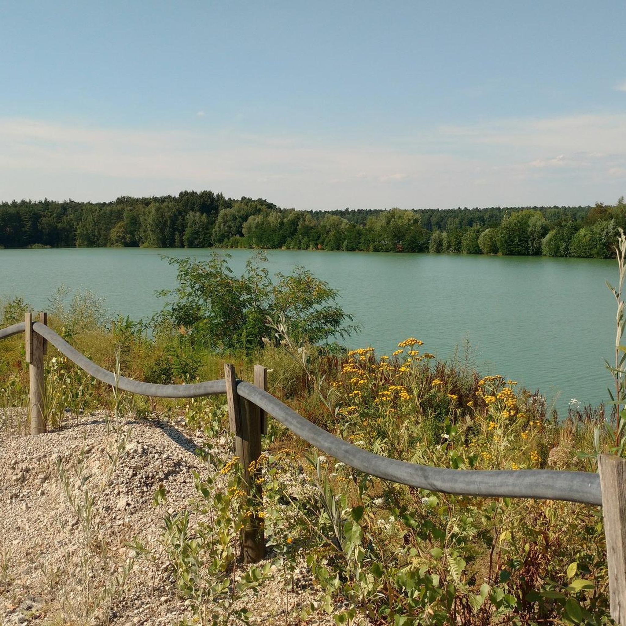
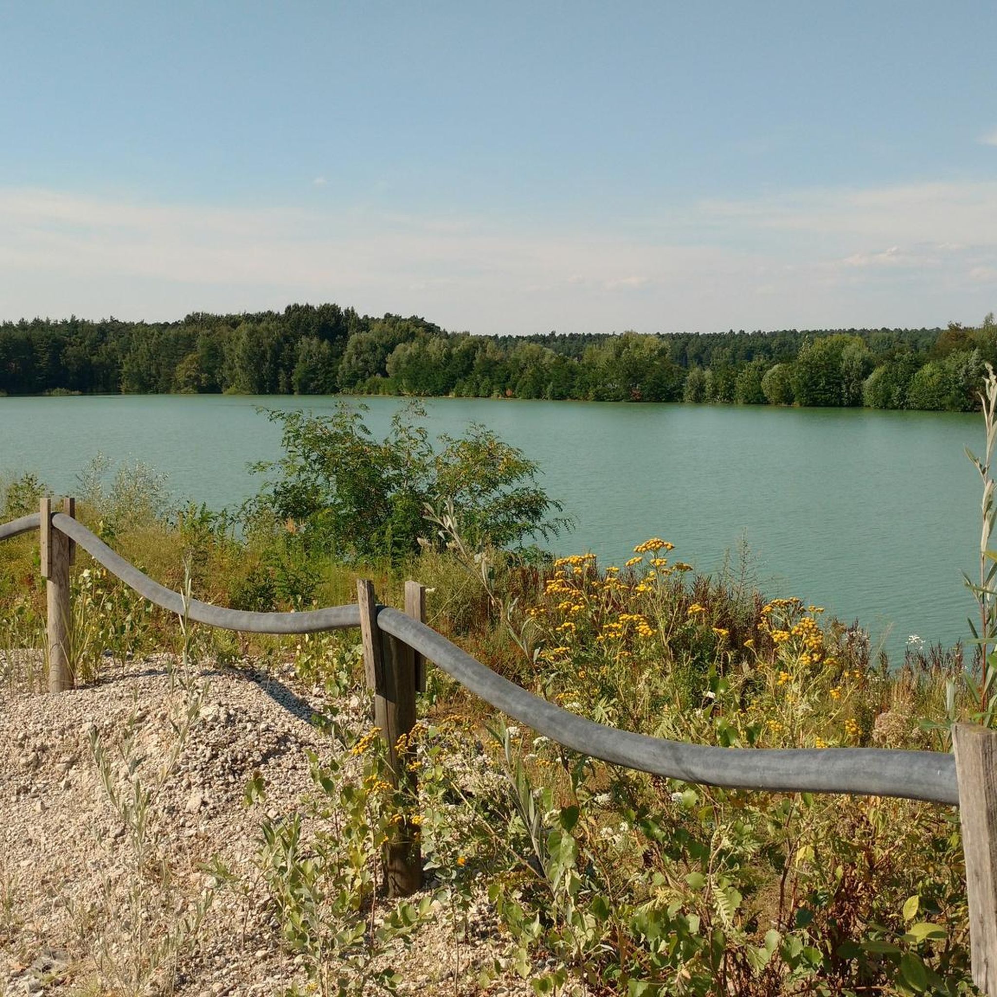
Tips from the Community

Seligenstadt is worth a visit in every season.
0
0
A good cycle path also leads past here.
2
0
The basilica is an absolute highlight in Seligenstadt.
1
0
It is a great joy to let the eyes wander here.
0
0

This way leads up to the Schanzenkopf.
1
0
Beautiful path from Sternberg to Rückersbach.
0
0

Ferry that runs between Seligenstadt and Grosswelzheim and Karlstein am Main.
0
0
Under favorable visibility conditions, the panorama is simply magnificent.
0
0
Frequently Asked Questions
How many hiking trails are available around Hörsteiner Lake?
There are over 1,400 hiking trails around Hörsteiner Lake, offering a wide range of options for all skill levels. This includes more than 1,000 easy routes, 440 moderate trails, and nearly 40 difficult hikes for experienced adventurers.
What kind of terrain can I expect when hiking near Hörsteiner Lake?
The terrain around Hörsteiner Lake is remarkably diverse. You'll find unique open sand areas and dry-warm sand grasslands within the Alzenauer Sande Nature Reserve, extensive forests and hills of the Spessart Nature Park, and scenic paths along the Main River Valley. Some routes also traverse the picturesque Hörsteiner Weinberge (vineyards).
Are there any family-friendly hiking options around Hörsteiner Lake?
Yes, many of the over 1,000 easy routes are suitable for families. For instance, the View of the Lake – Kahler See loop from Alzenauer Sande is an easy 3.4-mile (5.4 km) trail that takes about 1 hour 24 minutes, perfect for a leisurely family outing through unique sand habitats.
What are the best viewpoints or natural features to see on a hike?
Hikers can enjoy excellent perspectives of the landscape. A new bypass bridge offers a good view of Hörsteiner Lake. Further afield, the Ludwigsturm (Hahnenkamm) provides panoramic views over the Spessart hills and local vineyards. The unique open sand areas of the Alzenauer Sande Nature Reserve are also a significant natural feature to explore.
Are there any circular hiking routes near Hörsteiner Lake?
Yes, many routes in the area are circular. For a challenging loop with panoramic views, consider the Pfahlgrund Trail – Ludwig Tower (Hahnenkamm) loop from Dettingen (Main), which is 13.8 miles (22.3 km) long and leads through the Spessart hills.
What do other hikers say about the trails around Hörsteiner Lake?
The trails around Hörsteiner Lake are highly rated by the komoot community, with an average score of 4.6 stars from over 8,400 reviews. Hikers often praise the diverse landscapes, from unique sand habitats to extensive forests and scenic river views, and the variety of routes available for different abilities.
Can I bring my dog on the hiking trails around Hörsteiner Lake?
Generally, dogs are welcome on most hiking trails around Hörsteiner Lake. However, the lake itself is fenced off and under landscape protection, so direct access to the lake for dogs might be restricted. Always keep dogs on a leash, especially in nature reserves like the Alzenauer Sande, to protect local wildlife.
Are there any longer, more challenging hikes in the region?
Yes, for experienced hikers seeking a challenge, there are nearly 40 difficult routes. One such option is the Lowest point in Bavaria – View of the Main River loop from Dettingen (Main), a 14.3-mile (23 km) trail offering extensive views of the Main River.
What is the best time of year to go hiking around Hörsteiner Lake?
The region offers enjoyable hiking experiences throughout much of the year. Spring and autumn provide pleasant temperatures and beautiful scenery, with blooming wildflowers or vibrant fall foliage. Summer is also popular, though some trails might be more exposed. Winter hiking is possible, but conditions can vary, so check local weather forecasts.
Are there any historical or cultural sites accessible from the trails?
Yes, the region integrates cultural points of interest. The nearby town of Alzenau offers historical sites like Burg Alzenau. You can also explore routes that lead towards the historic town of Seligenstadt, known for its Abbey and basilica, such as the Seligenstadt Old Town – Market Square, Seligenstadt loop from Dettingen (Main).
Is there public transport available to reach the hiking areas?
While specific public transport details for every trailhead are best checked locally, the region is generally accessible. Alzenau and other towns in the district are connected, and some hiking routes, like those starting from Dettingen (Main), may be reachable via public transport, allowing for car-free exploration.
Where can I find refreshments or accommodation after a hike?
The towns surrounding Hörsteiner Lake, such as Alzenau and Dettingen (Main), offer various options for refreshments, including cafes and pubs. For longer stays, accommodation can be found in these towns, providing convenient bases for exploring the hiking trails and the wider Spessart region.
Most popular routes around Hörsteiner Lake

Get inspired with the komoot mobile app


Explore more
Browse the best Hikes in other regions.
