The best walks and hikes around Bayersoiener Lake
4.6
(10091)
50,600
hikers
472
hikes
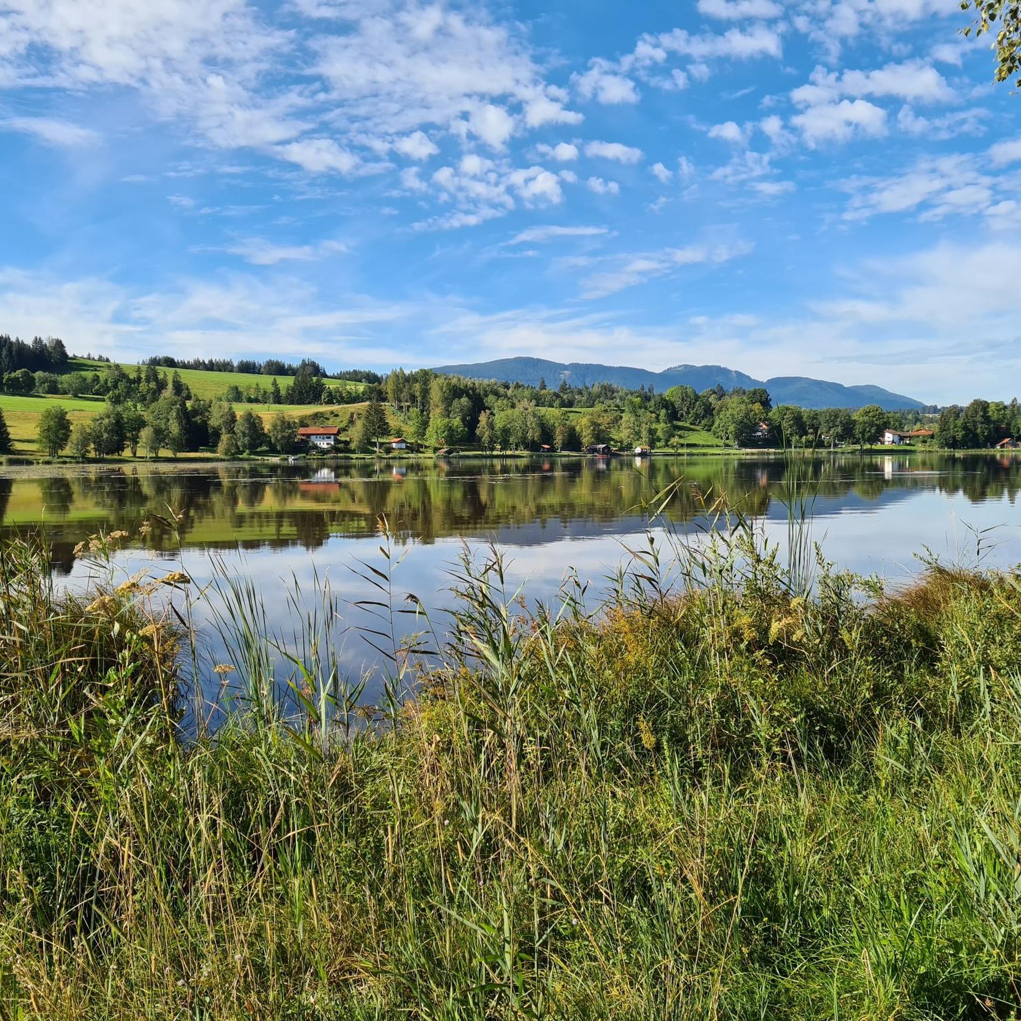
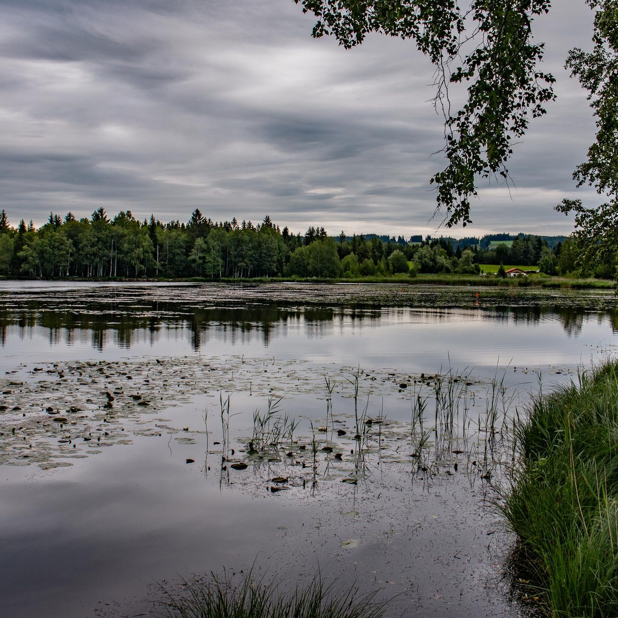
Hiking trails around Bayersoiener Lake are set within a unique moor lake environment in the Ammergauer Alps. The region is characterized by its shallow, warm moor lake, surrounded by protected marshlands and a diverse ecosystem. This landscape offers a blend of serene waterscapes and a mountainous backdrop, providing varied terrain for outdoor activities. The area is part of a protected FFH area, preserving its natural features.
Best hiking trails around Bayersoiener Lake
- The most popular hiking route is Rochusfeld –…
Last updated: July 1, 2026
4.7
(99)
431
hikers
13.4km
03:32
120m
120m
Moderate hike. Good fitness required. Easily-accessible paths. Suitable for all skill levels.
4.8
(113)
816
hikers
Easy hike. Great for any fitness level. Easily-accessible paths. Suitable for all skill levels.

Sign up for free
4.9
(22)
66
hikers
11.0km
03:00
160m
160m
Moderate hike. Good fitness required. Easily-accessible paths. Suitable for all skill levels.
4.6
(25)
90
hikers
9.88km
02:38
110m
100m
Moderate hike. Good fitness required. Easily-accessible paths. Suitable for all skill levels.
4.7
(11)
44
hikers
Easy hike. Great for any fitness level. Easily-accessible paths. Suitable for all skill levels.
Get access to more routes and recommendations from other explorers.
Sign up for free
Already have an account?
Our route recommendations are based on thousands of hikes, rides, and runs completed by other people on komoot.
Start today with a free account
Your next adventure awaits.
Login or Signup
Popular around Bayersoiener Lake
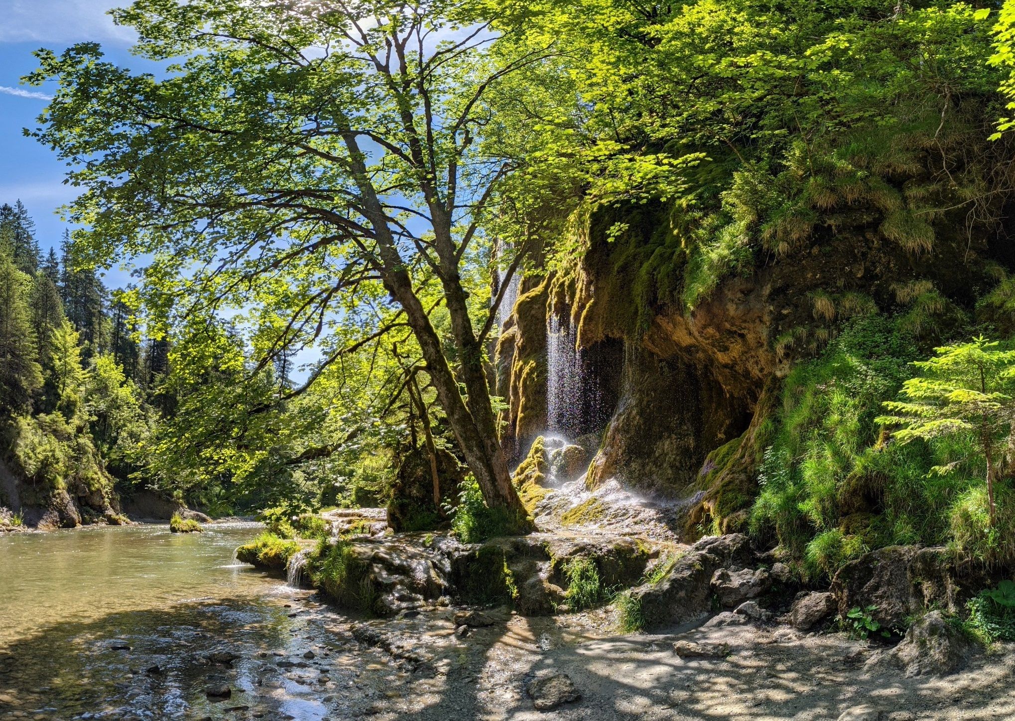
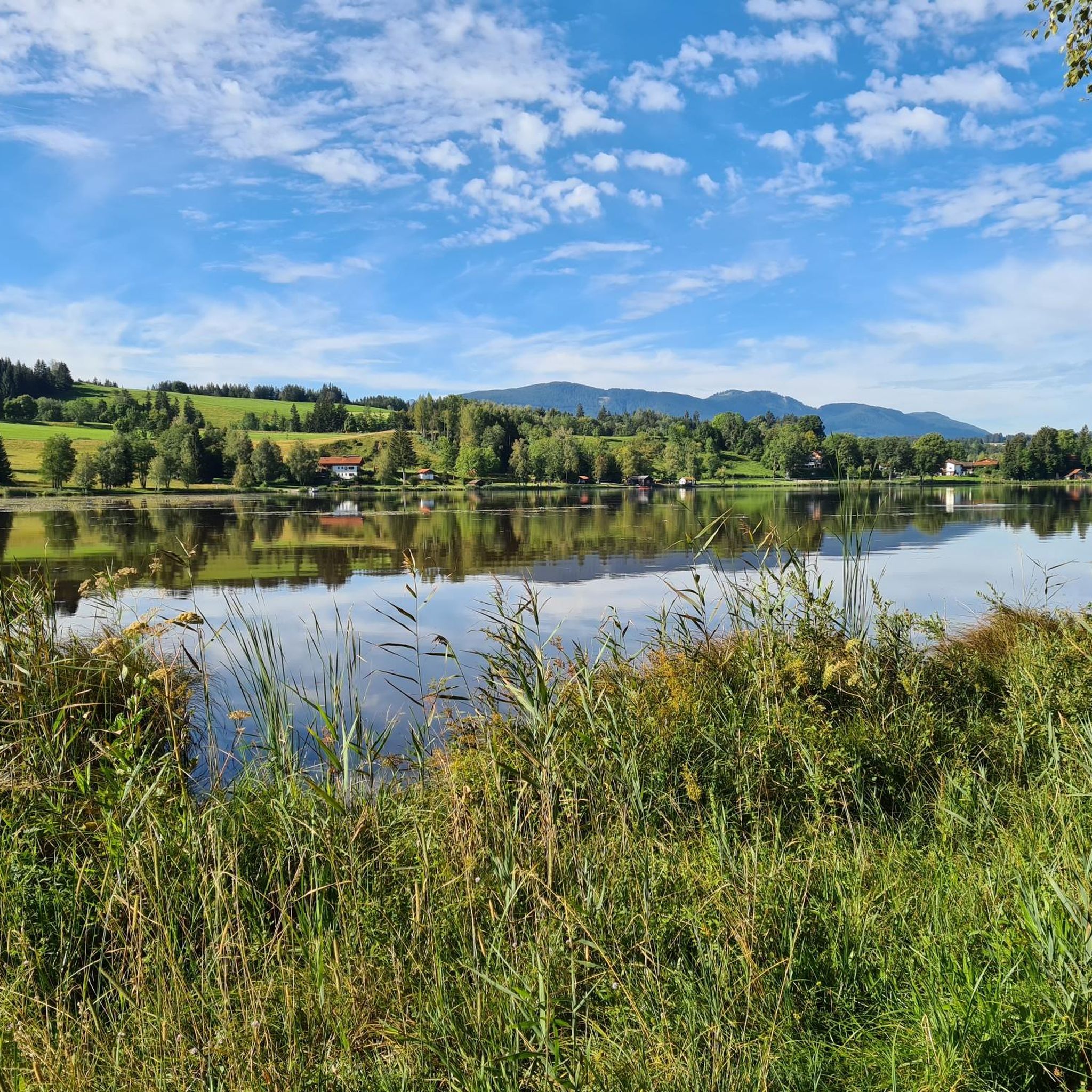
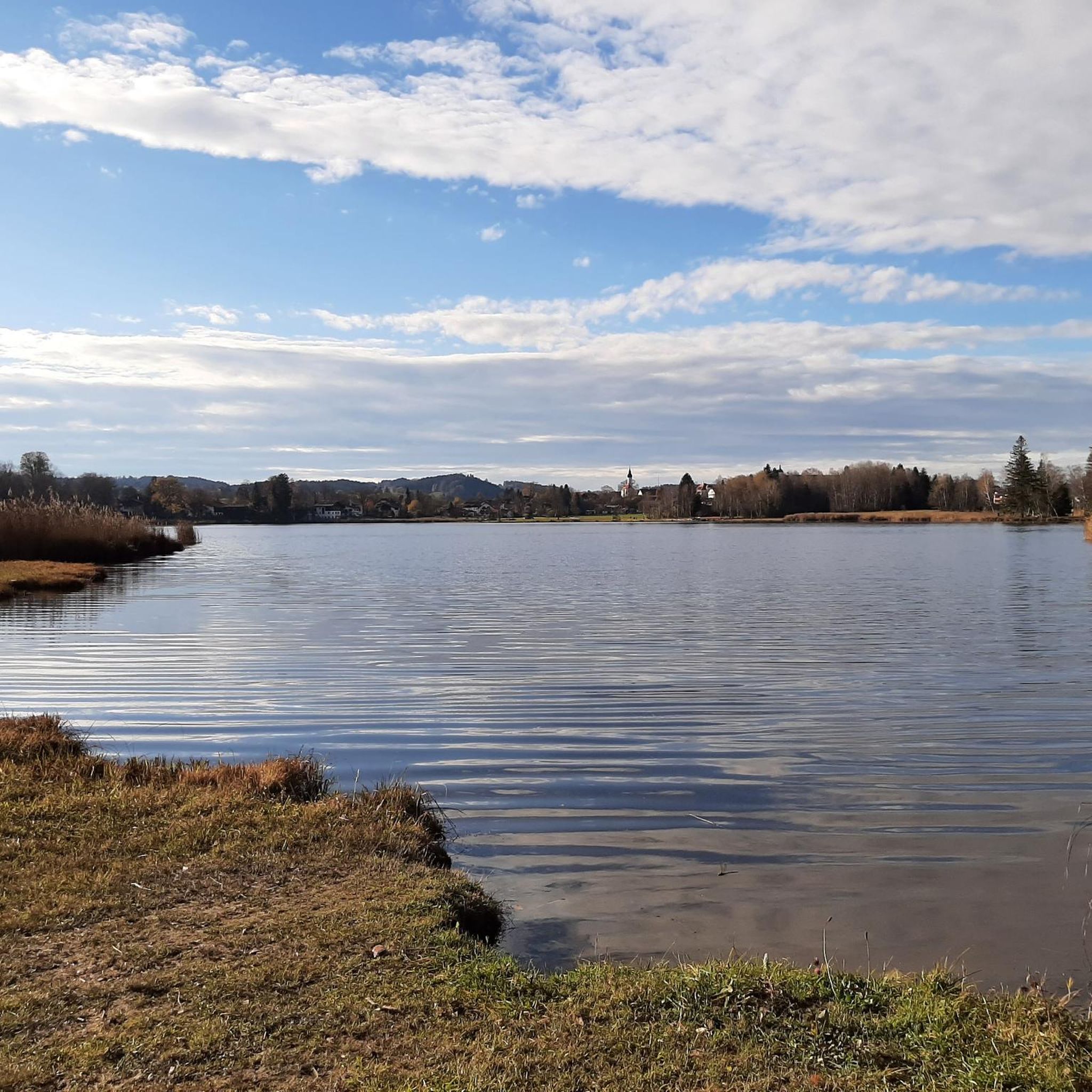
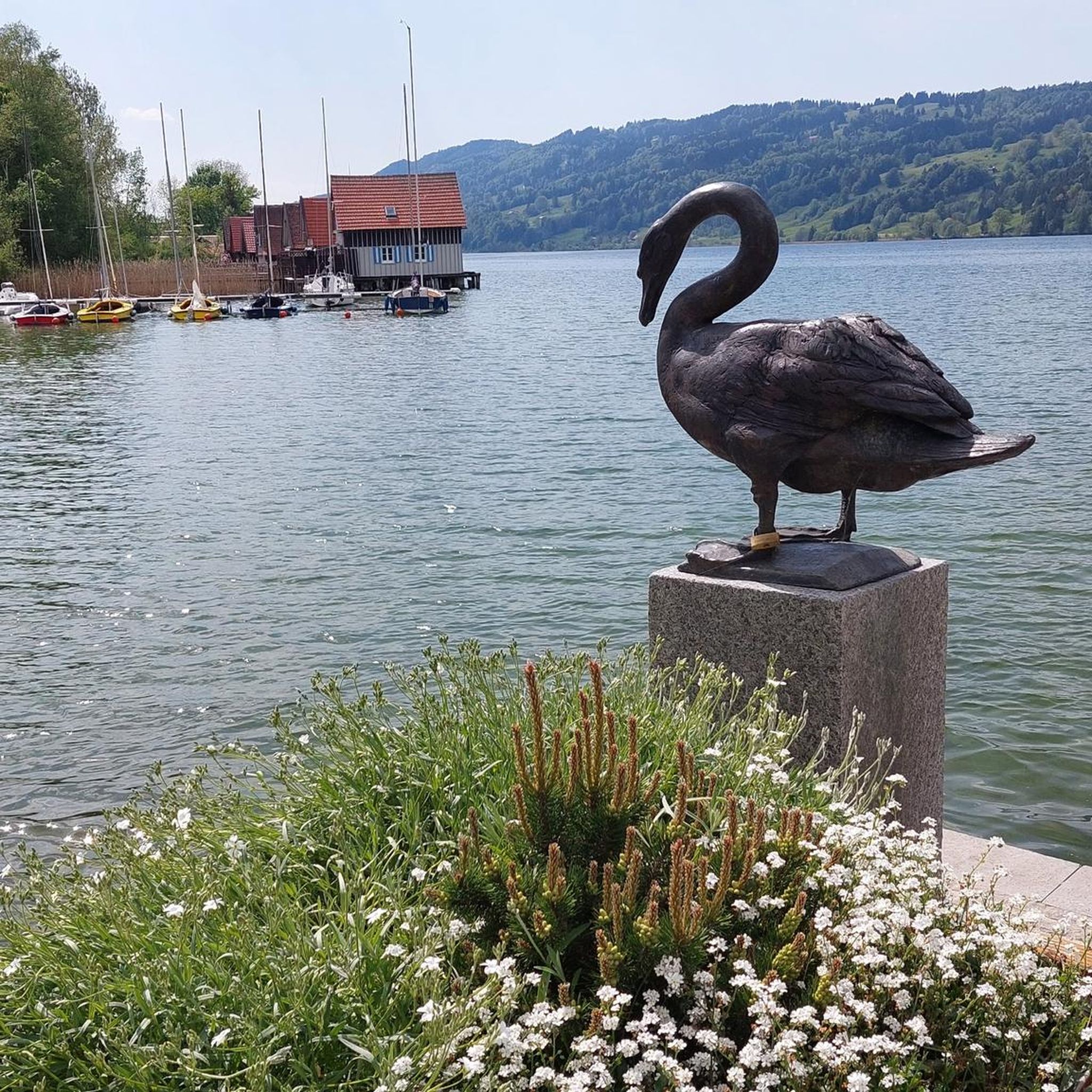

Other adventures around Bayersoiener Lake

Tips from the Community

In this pool you can immerse your feet in the moor.
1
0
The chapel is dedicated to the plague saint St. Rochus.
1
0


nice hut with seating and information about the moor. And a geocache is also hidden
0
0

The church is dedicated to St. George and serves as the parish church of St. George in the parish association of Bad Kohlgrub. The church is located in the historic center of Bad Bayersoien, set back from the village street on a hill a few meters high. A church in Bayersoien was first mentioned in 1315. It was a branch church of the Ammergau parish, and from 1517 of the Rottenbuch parish. During the 15th or 16th century, a late Gothic new building was built, which was rebuilt and expanded in Baroque forms from 1717 onwards. The Gothic choir was preserved, the nave and tower were enlarged and rebuilt in Baroque style. Source and further information about St. George at: https://de.wikipedia.org/wiki/St._Georg_(Bad_Bayersoien)
5
0

Very pleasant! Definitely worth it!
2
0


I came here by bike from the south, not recommended, narrow, rooted path, easy to reach from the north no more prospect, everything overgrown. 7/ 2023
0
0
Frequently Asked Questions
How many hiking trails are there around Bayersoiener Lake?
There are over 480 hiking routes available around Bayersoiener Lake, catering to various skill levels. This includes more than 220 easy trails, 200 moderate routes, and 50 more challenging options.
What is the typical duration of hikes around Bayersoiener Lake?
Hikes around Bayersoiener Lake vary significantly in duration. Easy, shorter walks like the Soier See With Mountain View loop can be completed in under an hour. Moderate routes, such as the Rochusfeld – Soier Lake loop, typically take around 3.5 hours, while some longer trails can extend up to 5 hours.
Are there family-friendly hiking options around Bayersoiener Lake?
Yes, Bayersoiener Lake is an excellent destination for families. The 2.5-kilometer circular path around the lake, which also serves as a nature trail, is particularly suitable for all fitness levels and is even accessible for wheelchairs and strollers in certain sections. Many other easy routes are also perfect for a family outing.
Are dogs allowed on the hiking trails around Bayersoiener Lake?
Dogs are generally welcome on the hiking trails around Bayersoiener Lake. However, as the area includes protected marshlands and nature reserves, it's important to keep dogs on a leash, especially to protect local flora and fauna. Always be mindful of other hikers and wildlife.
What natural features or landmarks can I see while hiking around Bayersoiener Lake?
The region is rich in natural beauty and unique features. You can explore the moor lake environment, which is part of a protected FFH area, and learn about its formation and diverse ecosystem on the nature trails. Highlights include the Soier Lake itself, the Moor Kneipp Basin, and the charming Fischerhäusl at Lake Bayersoien. The surrounding Ammergauer Alps also provide stunning panoramic views.
Are there circular hiking routes around Bayersoiener Lake?
Yes, circular routes are a popular way to explore the area. The most well-known is the 2.5-kilometer circular path directly around the lake. Other excellent options include the Soier Lake – Wagon Wheel Fence loop, which takes you through moor landscapes, and the Hiking loop from Bad Bayersoien.
When is the best time of year to go hiking around Bayersoiener Lake?
Bayersoiener Lake offers beautiful hiking experiences throughout the year. Spring and autumn provide pleasant temperatures and vibrant colors, while summer is ideal for combining hikes with a refreshing swim in the warm moor lake. Winter hiking is also possible, offering a serene, snow-covered landscape.
Is there parking available for hikers at Bayersoiener Lake?
Yes, parking is available for hikers visiting Bayersoiener Lake. There are designated parking areas, particularly near the main access points to the lake and trails, such as close to the Fischerhäusl. These spots provide convenient starting points for your hikes.
How can I reach Bayersoiener Lake using public transport?
Bayersoiener Lake is accessible via public transport, primarily by bus. You can typically reach Bad Bayersoien, the nearest town, by bus from larger transport hubs. From Bad Bayersoien, the lake is within walking distance or a short local bus ride. It's advisable to check local bus schedules for the most current information.
Are there places to eat or drink near the hiking trails?
Yes, there are options for refreshments. The Fischerhäusl at Lake Bayersoien is a popular spot located directly on the lake, offering a small beer garden, refreshments, and homemade cakes. It's a perfect place to take a break during or after your hike.
Can I swim in Bayersoiener Lake after a hike?
Absolutely! Bayersoiener Lake is known as one of Bavaria's smallest and warmest moor bathing lakes. Its mild, moor-rich water warms up quickly due to its shallow depth, making it very inviting for a refreshing swim, especially during the warmer months, to cool down after a hike.
What do other hikers enjoy the most about hiking in Bayersoiener Lake?
The area is highly rated by the komoot community, with an average score of 4.6 stars from over 9,500 reviews. Hikers often praise the unique moor lake environment, the stunning backdrop of the Ammergauer Alps, and the well-maintained, informative nature trails. The diversity of routes, from easy strolls to moderate challenges, is also frequently highlighted.
Most popular routes around Bayersoiener Lake
Most popular attractions around Bayersoiener Lake

Get inspired with the komoot mobile app


Explore more
Browse the best Hikes in other regions.
