The best road cycling routes around Bachtelsee
4.6
(767)
8,260
riders
342
rides
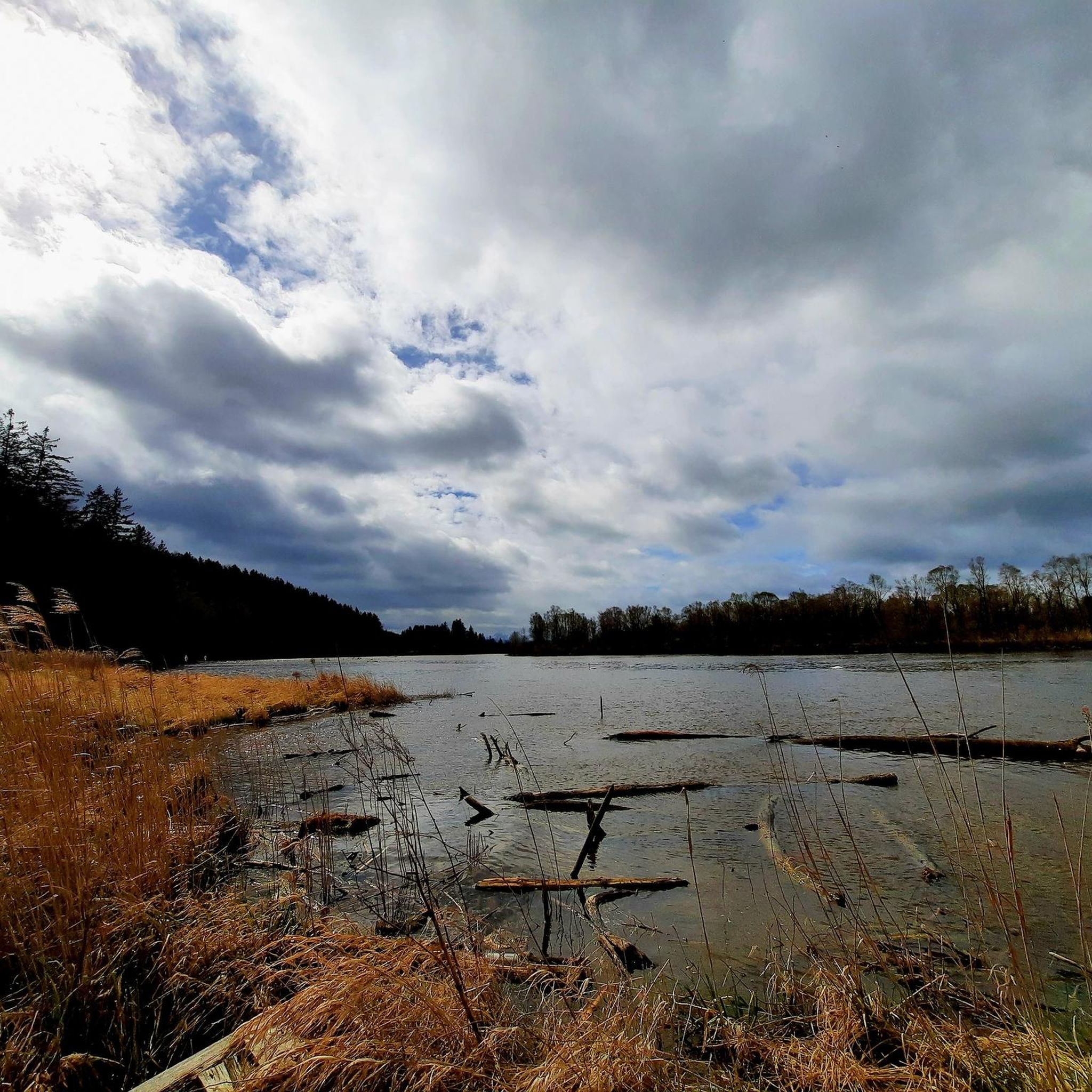
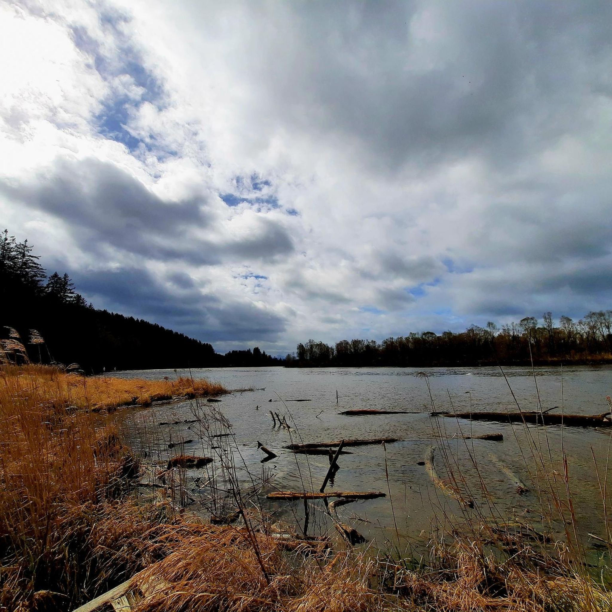
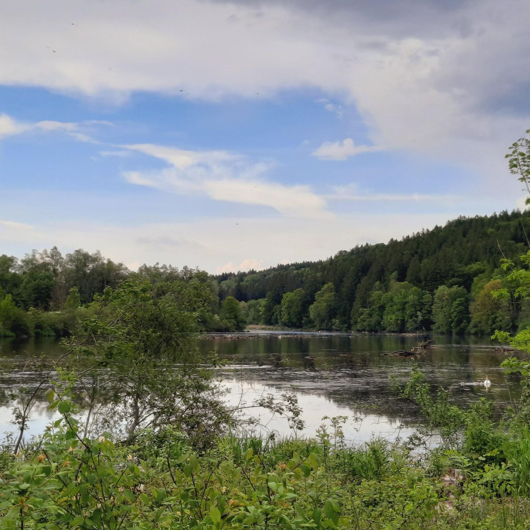
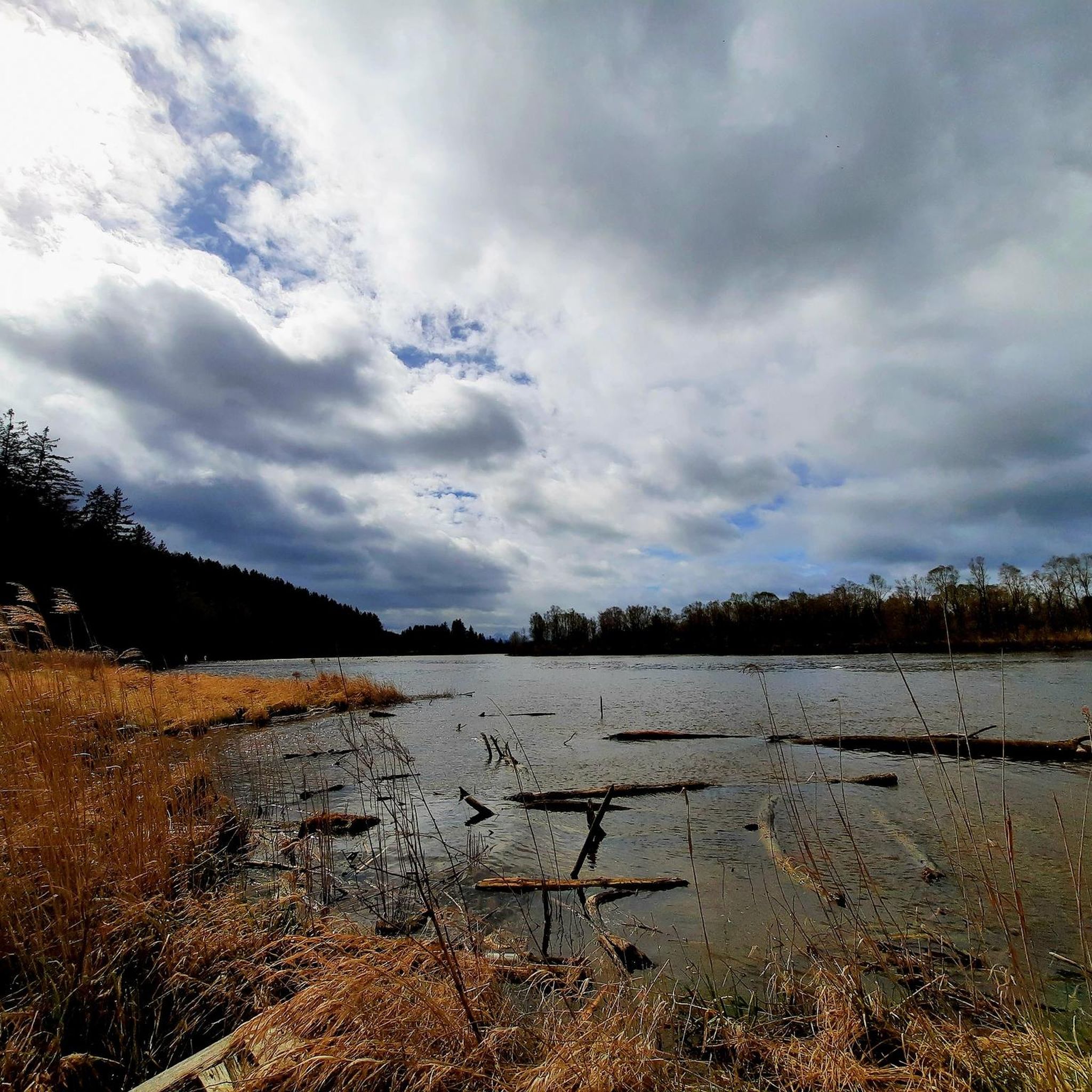
Road cycling routes around Bachtelsee are characterized by a diverse landscape in the Bavarian Alpine foothills. The region features a natural lake, offering scenic views that can include snow-capped mountains. Cyclists encounter varied terrain, ranging from flat sections along rivers to more demanding ascents with significant changes in altitude. This mix provides options for different skill levels, set within an idyllic natural environment.
Best road cycling routes around Bachtelsee
- The most popular road cycling route is View of the Alps…
Last updated: October 1, 2026
5.0
(2)
46
riders
Moderate road ride. Good fitness required. Mostly well-paved surfaces and easy to ride.
4.7
(3)
40
riders
88.5km
03:53
610m
610m
Moderate road ride. Good fitness required. Mostly well-paved surfaces and easy to ride.

38
riders
Easy road ride. Great for any fitness level. Mostly well-paved surfaces and easy to ride.
5.0
(1)
38
riders
Moderate road ride. Good fitness required. Mostly well-paved surfaces and easy to ride.
4.0
(2)
18
riders
56.9km
02:37
570m
570m
Moderate road ride. Good fitness required. Some segments of this route may be unpaved and difficult to ride.
Get access to more routes and recommendations from other explorers.
Already have an account?
Our route recommendations are based on thousands of hikes, rides, and runs completed by other people on komoot.
Start today with a free account
Your next adventure awaits.

Tips from the Community

The bus stop right at the Voglerwirt, slightly disturbing at night, but all the better during the day
2
0

Popular bike route. Quite little traffic. Beautiful landscape.
1
0


A beautiful cycle path with many beautiful views.
0
0
A very beautiful cycle path on a former railway line.
0
0

Beautiful market square with shops all around. Unfortunately, the church was under renovation (as of July 25).
2
0

Very nice market square, the church is currently being renovated on the outside but is open.
2
0

When I'm traveling alone, I always visit a church, but unfortunately, this one was closed. Maybe I was just unlucky.
0
0
Frequently Asked Questions
How many road cycling routes are available around Bachtelsee?
There are over 350 road cycling routes available around Bachtelsee, catering to various skill levels. This includes 90 easy routes, 234 moderate routes, and 32 more challenging options.
What kind of terrain can I expect when road cycling near Bachtelsee?
The Bachtelsee region offers a diverse landscape in the Bavarian Alpine foothills. You can expect varied terrain, from leisurely, flat sections along rivers to more demanding ascents with significant changes in altitude, all set against picturesque natural scenery.
Are there routes suitable for beginners or less experienced road cyclists?
Yes, there are plenty of options for beginners. For a less strenuous ride, consider the Marktplatz Marktoberdorf loop from Biessenhofen, which is an easy 18.0-mile (29.0 km) path offering gentle terrain.
Are there challenging road cycling routes with significant climbs around Bachtelsee?
Absolutely. The region features routes with demanding ascents and descents. A good example is the View of the Alps – Ascent / descent to the Auerberg loop from Biessenhofen, a moderate 26.7-mile (43.0 km) trail with over 600 meters of elevation gain, offering stunning views of the Alps.
What natural features or landmarks can I see along the road cycling routes?
The routes often pass by beautiful natural features. You can enjoy scenic views of the natural lake, including snow-capped mountains, especially from the View of the Alps between Bärensee and Bachtelsee. The area is also known for abundant waterfowl at the Bachtelsee Bird Sanctuary, and an interesting Fish Ladder at Biessenhofen.
Are there any scenic viewpoints on the road cycling routes around Bachtelsee?
Yes, many routes offer breathtaking vistas. The View of Neuschwanstein Castle – Lech Falls loop from Biessenhofen, for instance, provides views of the iconic Neuschwanstein Castle and the impressive Lech Falls.
Is there parking available for road cyclists near Bachtelsee?
Many road cycling routes in the area, such as those starting from Biessenhofen, typically have parking options available nearby. It's advisable to check specific starting points for detailed parking information.
How can I access the road cycling routes around Bachtelsee by public transport?
Biessenhofen, a common starting point for many routes, is generally accessible by public transport. You can often reach the area by train, which allows for easy access to the cycling network. Check local public transport schedules for the most current information.
What is the best time of year for road cycling around Bachtelsee?
The region is beautiful throughout the warmer months. Given the mention of snow-capped mountains, spring through autumn typically offers the most favorable conditions for road cycling, with pleasant temperatures and clear views.
Are there circular road cycling routes available?
Yes, many of the routes around Bachtelsee are designed as loops, allowing you to start and end at the same point. Examples include the Leuterschach Train Station loop from Biessenhofen and the Source of the Eastern Günz – Wenglinger Steige loop from Biessenhofen.
What do other road cyclists enjoy the most about road cycling in Bachtelsee?
The area is highly rated by the komoot community, with an average score of 4.6 stars from over 500 reviews. Cyclists often praise the diverse landscape, the mix of flat and challenging terrain, and the stunning views of the Bavarian Alpine foothills and natural lakes.
Most popular routes around Bachtelsee
Most popular attractions around Bachtelsee

Get inspired with the komoot mobile app


Explore more
Browse the best Road cycling routes in other regions.
