The best road cycling routes around Dhronecken
4.5
(157)
1,214
riders
54
rides
Road cycling around Dhronecken offers varied terrain within the Hunsrück region, characterized by rolling hills, deep valleys, and extensive forests. The landscape provides a mix of moderate climbs and descents, suitable for different cycling preferences. Cyclists can navigate low-traffic side roads through the low mountain range, encountering both challenging ascents and rapid descents. The region also features scenic river valleys, including the Kleine Dhron, and is in proximity to the Mosel and Nahe river systems.
Best road cycling routes around…
Last updated: October 4, 2026
19
riders
Moderate road ride. Good fitness required. Some segments of this route may be unpaved and difficult to ride.
4.9
(21)
25
riders
Moderate road ride. Good fitness required. Mostly well-paved surfaces and easy to ride.

4.0
(1)
9
riders
48.9km
02:40
860m
860m
Moderate road ride. Good fitness required. Some segments of this route may be unpaved and difficult to ride.
5.0
(2)
14
riders
39.2km
02:00
660m
660m
Moderate road ride. Good fitness required. Some segments of this route may be unpaved and difficult to ride.
5.0
(1)
14
riders
Moderate road ride. Good fitness required. Mostly well-paved surfaces and easy to ride.
Get access to more routes and recommendations from other explorers.
Already have an account?
Our route recommendations are based on thousands of hikes, rides, and runs completed by other people on komoot.
Start today with a free account
Your next adventure awaits.
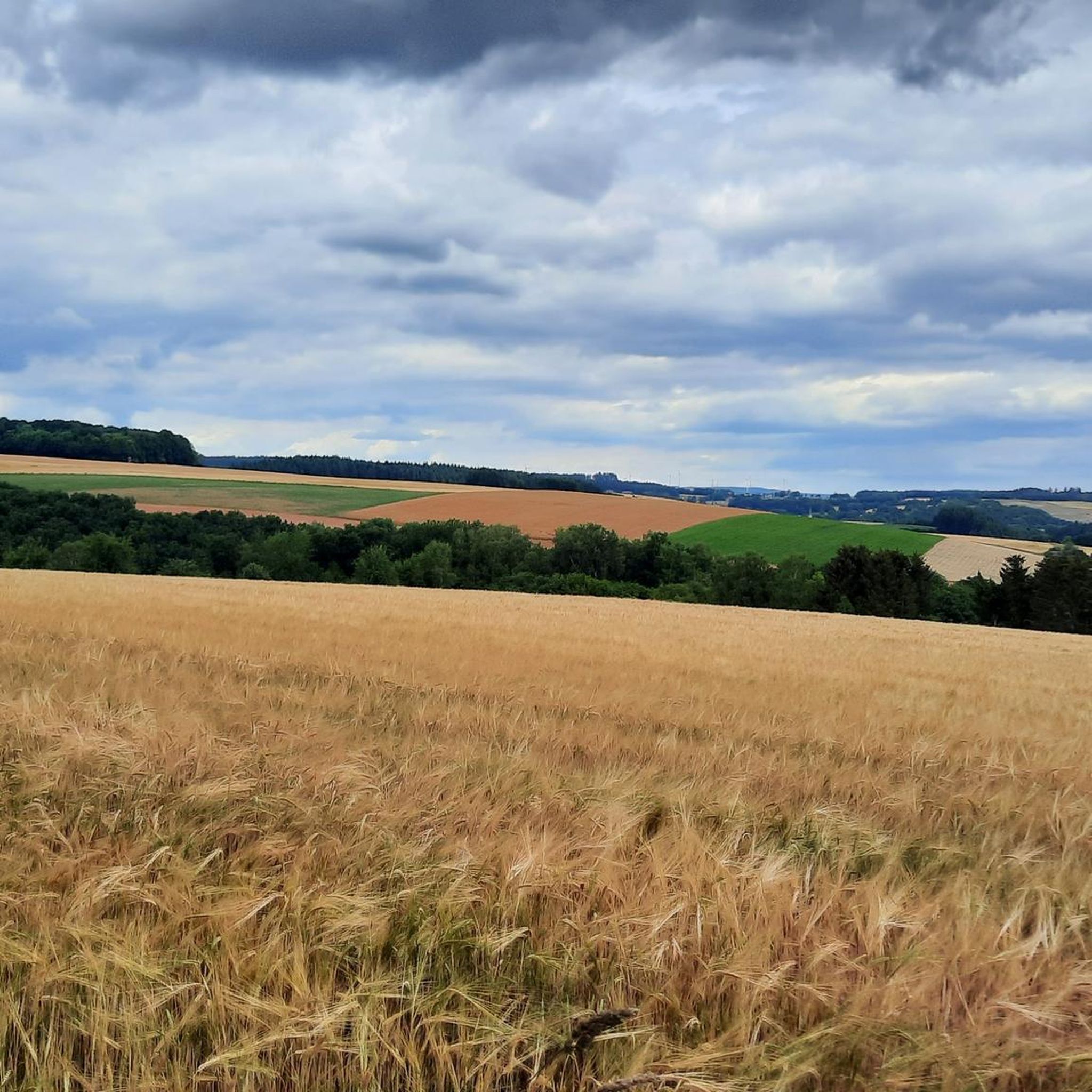

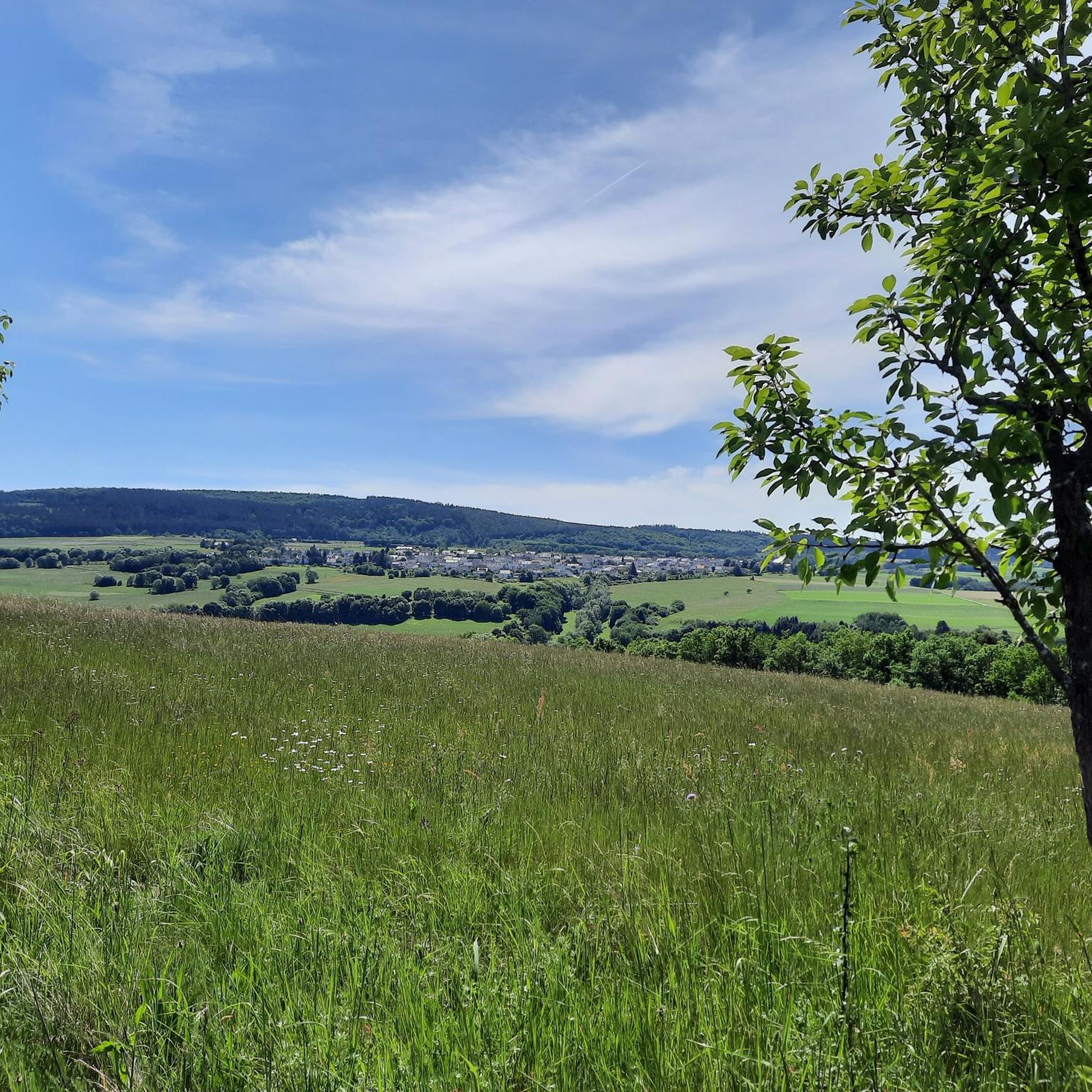
Tips from the Community

Beautiful views into the Hunsrück and onto the National Park
0
0
Great, really super use of the slope
0
0
Nice to ride over, pure nature :-D
0
0
Beautiful trails invite you to bike
0
0

I drove past it, but didn't take a photo
0
0

Beautiful view over the region.
1
0

Very nice cycle path, easy to cycle uphill...
0
0
Frequently Asked Questions
How many road cycling routes are available around Dhronecken?
There are over 50 road cycling routes around Dhronecken, offering a diverse range of experiences. These routes cater to various skill levels, from easy rides to more challenging ascents and descents through the Hunsrück landscape.
What are the typical difficulty levels for road cycling routes in Dhronecken?
The road cycling routes around Dhronecken offer a mix of challenges. You'll find a few easy routes, around 29 moderate options, and about 20 difficult trails. This variety ensures that both casual riders and experienced cyclists can find suitable paths.
What natural features can I expect to see along the road cycling routes?
Road cycling routes in Dhronecken often traverse rolling hills, deep valleys, and extensive forests characteristic of the Hunsrück region. You can also expect to encounter scenic river valleys, including the Kleine Dhron, and areas close to the Mosel and Nahe river systems. The region is known for its varied forests and unique moorland areas.
Are there any historical landmarks or points of interest accessible by road bike?
Yes, the region offers several historical points of interest. You might pass by the historic Erbeskopf, the highest point in Rhineland-Palatinate, which features the 'Windklang' sculpture and an observation tower. Other notable sites include the ruins of Burg Dhronecken and the ancient Celtic hill fortification, Hunnenring, providing glimpses into the area's rich past.
Can I find routes with viewpoints or scenic overlooks?
Absolutely. Many routes offer stunning panoramic views, especially those that ascend to higher elevations. The Erbeskopf is a prime example, offering expansive vistas from its observation tower. Routes like the Windklang Sculpture, Erbeskopf – Erbeskopf Observation Tower loop from Thalfang specifically highlight such scenic spots.
Are there any waterfalls along the road cycling routes near Dhronecken?
While road cycling routes primarily focus on paved roads, some areas near Dhronecken feature natural water formations. You might find the Dhron Stream and Waterfalls or the Waterfalls in the Hunolstein gorge in the broader vicinity, which could be explored as short detours from your cycling path.
Are there road cycling routes suitable for beginners or families in Dhronecken?
Yes, Dhronecken offers a few easy road cycling routes that are suitable for beginners or families looking for a less strenuous ride. These routes typically feature gentler gradients and less traffic, allowing for a more relaxed experience through the scenic landscape.
What do other road cyclists enjoy the most about road cycling in Dhronecken?
The area is highly rated by the komoot community, with an average score of 4.6 stars from over 130 reviews. Cyclists often praise the varied Hunsrück landscapes, the mix of challenging ascents and rapid descents, and the extensive network of low-traffic side roads that make for excellent road biking conditions.
Are there any circular road bike trails in the Dhronecken area?
Yes, many of the road cycling routes around Dhronecken are designed as loops, allowing you to start and end at the same point. Examples include the Erbeskopf Cycle Path – Hermeskeil Aircraft Exhibition loop from Thalfang and the Hermeskeil Aviation Exhibition – Hochwaldbahn locomotive "Wiesel" loop from Malborn, which offer diverse scenery and points of interest.
What is the best time of year for road cycling in Dhronecken?
The spring and summer months are generally ideal for road cycling in Dhronecken, offering pleasant temperatures and lush green landscapes. The region's extensive forests provide shaded routes, making it enjoyable even on warmer days. Autumn also offers beautiful scenery with changing foliage.
Are there any routes that connect to the Mosel valley?
Yes, the Hunsrück-Mosel Cycle Path is a notable route that connects the Hunsrück heights with the picturesque Mosel valley. This path features moderate climbs followed by exhilarating descents towards the Mosel, where you can then join the Mosel cycle path for further exploration. For more information on the Mosel cycle path, you can visit en.visitmosel.de.
Are there any routes that pass by aviation or railway exhibits?
Yes, the Hermeskeil Aviation Exhibition – Hochwaldbahn locomotive "Wiesel" loop from Malborn is a moderate route that passes by historical aviation and railway exhibits. This offers a unique blend of natural scenery and cultural points of interest, perfect for those who enjoy a bit of history with their ride.
Most popular attractions around Dhronecken

Get inspired with the komoot mobile app


Explore more
Browse the best Road cycling routes in other regions.
