The best road cycling routes around Schwielochsee
4.7
(32)
410
riders
40
rides
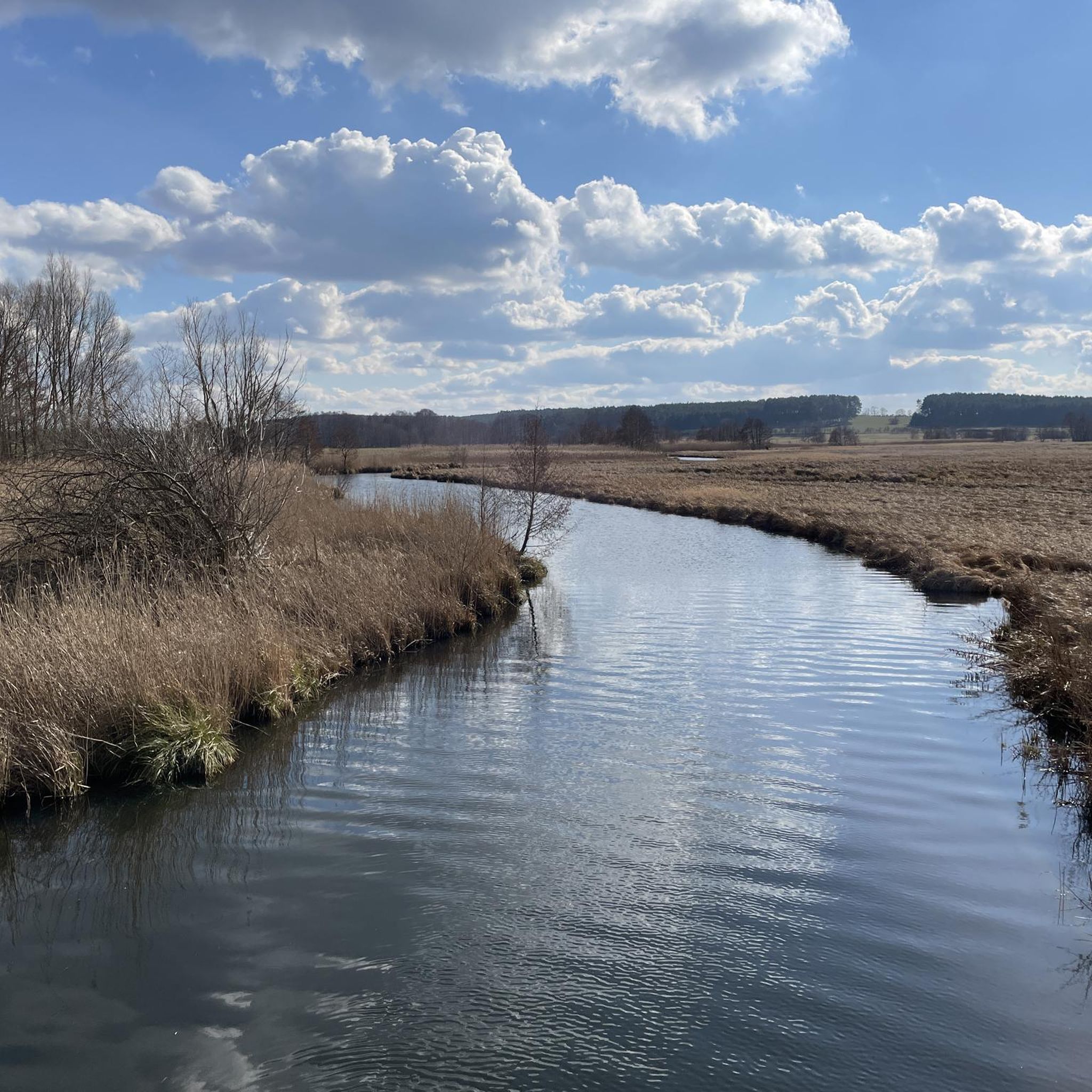
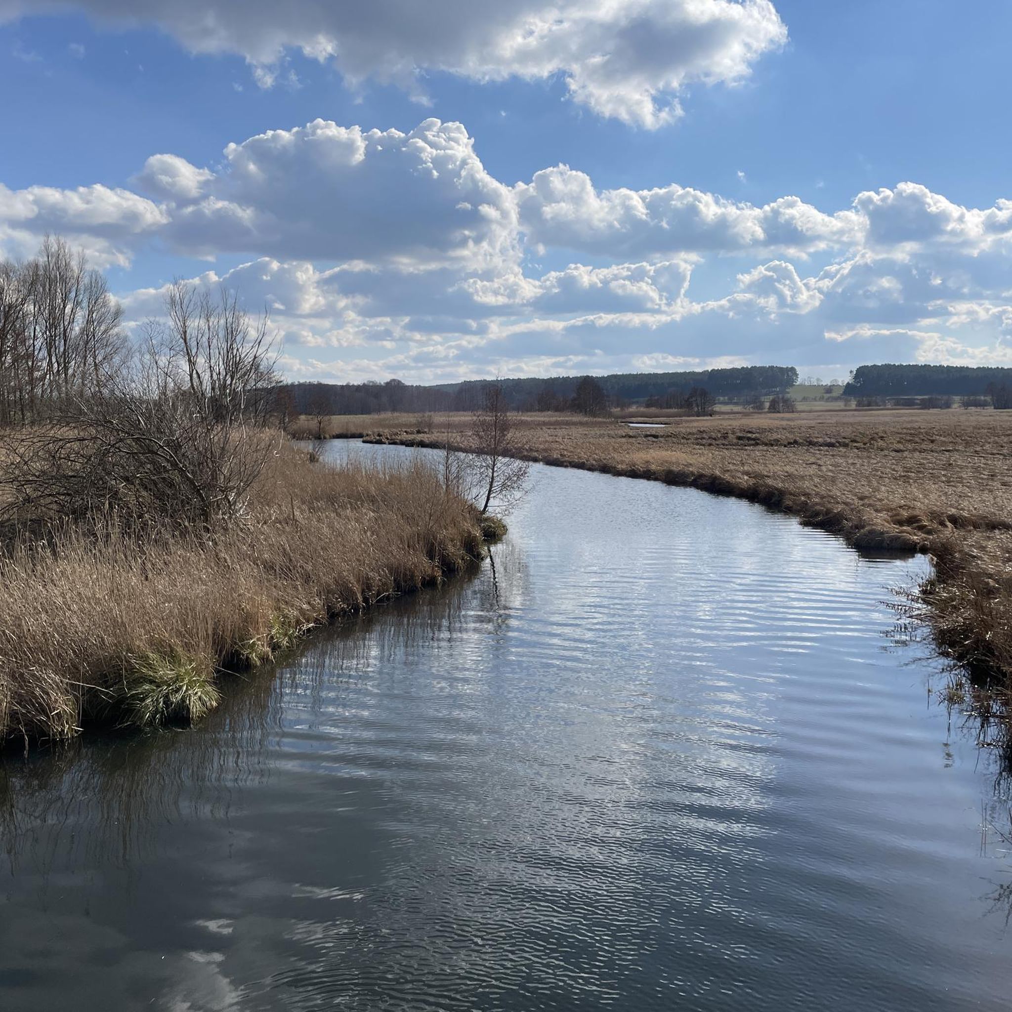
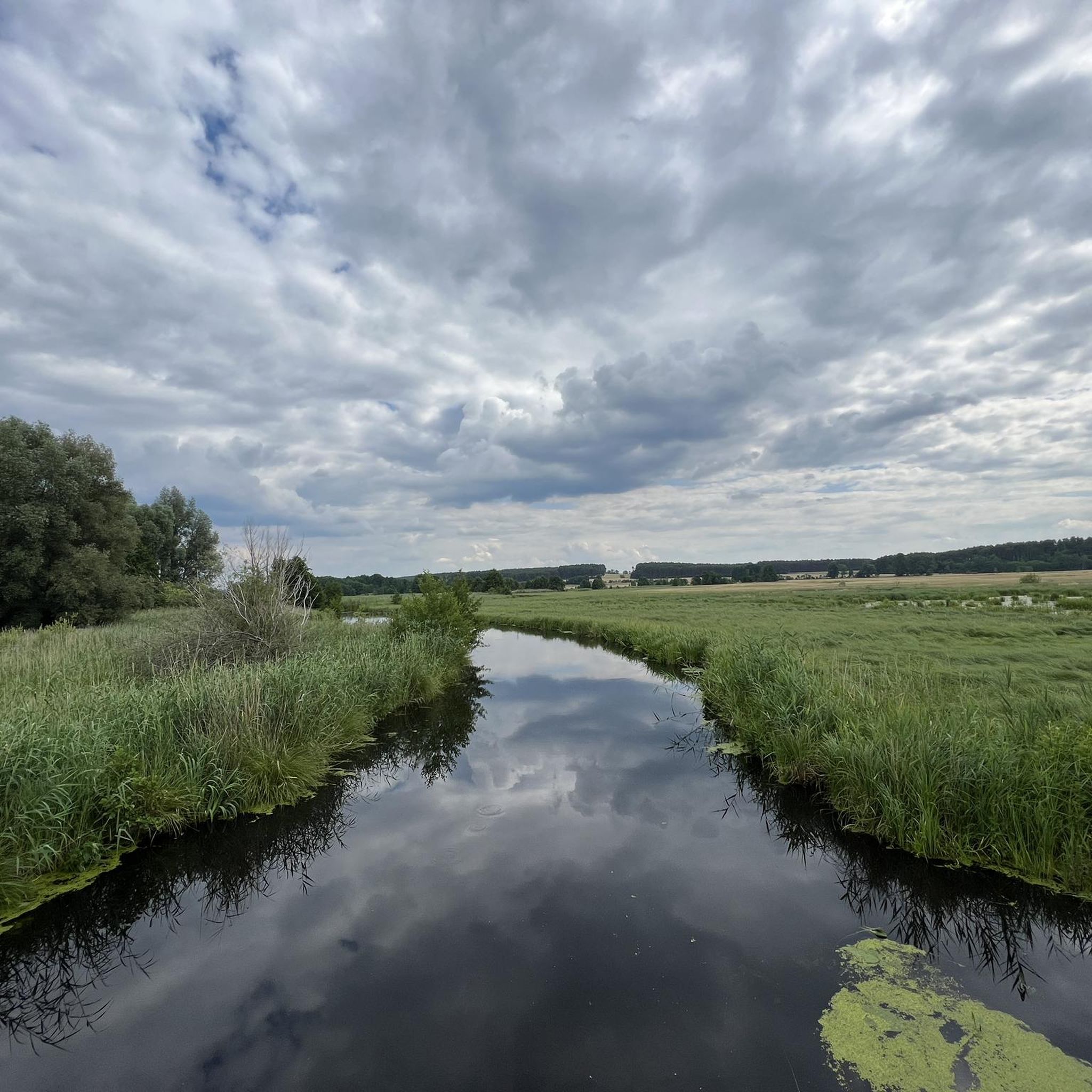
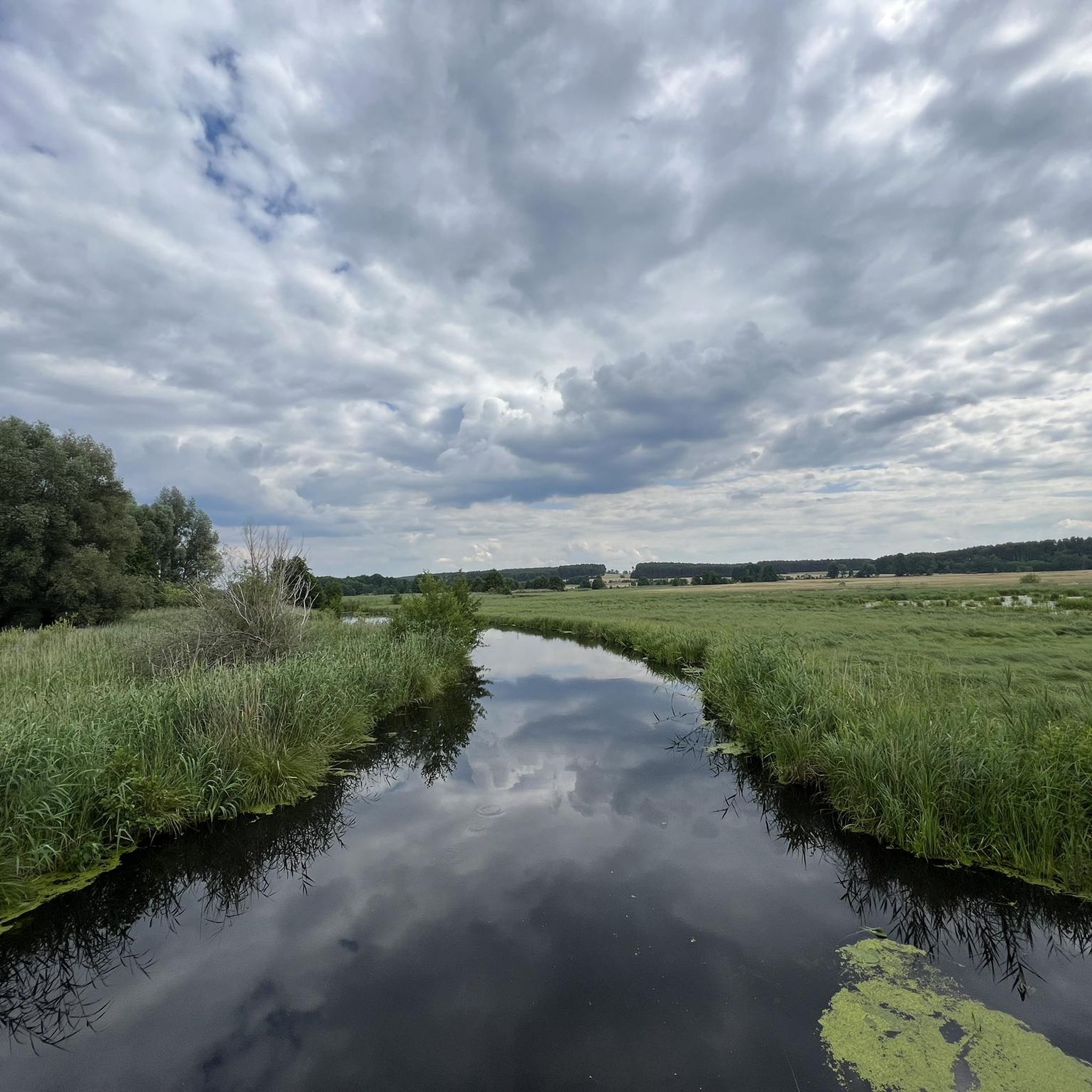
Road cycling around Schwielochsee features predominantly flat terrain, making it suitable for various skill levels. The region is characterized by extensive lakes, including Lake Schwielochsee, and is surrounded by green forests. Many routes run along the shores of these water bodies, offering scenic views. The area's topography and proximity to the Spreewald Biosphere Reserve provide a mix of natural landscapes for road cyclists.
Best road cycling routes around Schwielochsee
- The most popular road cycling route is Luckau Tower – Beeskow…
Last updated: October 4, 2026
5.0
(2)
20
riders
37.8km
01:36
120m
120m
Moderate road ride. Great for any fitness level. Some segments of this route may be unpaved and difficult to ride.
4.5
(2)
13
riders
Easy road ride. Great for any fitness level. Mostly well-paved surfaces and easy to ride.

6
riders
Easy road ride. Great for any fitness level. Mostly well-paved surfaces and easy to ride.
5
riders
49.7km
02:02
170m
170m
Moderate road ride. Good fitness required. Some segments of this route may be unpaved and difficult to ride.
4
riders
90.3km
03:45
400m
400m
Moderate road ride. Good fitness required. Mostly well-paved surfaces and easy to ride.
Get access to more routes and recommendations from other explorers.
Already have an account?
Our route recommendations are based on thousands of hikes, rides, and runs completed by other people on komoot.
Start today with a free account
Your next adventure awaits.
Tips from the Community

The relationship is not quite right, it concerns the Spreeradweg, which was built with a lot of funding for tourism.
0
0


Nice bypass, easy to navigate even in the dark. But a bit rooty.
0
0

The late Gothic nave made of fieldstone, closed on three sides to the east and supported by buttresses, is now plastered. The hall church was extended in 1703 to include the rectangular brick church tower with a gable roof arranged across the nave to the west and the five-sided sacristy made of timber framing to the east. In the bell tower, which has sound arcades on all sides, hang four church bells; the oldest dates from 1582.
0
0

Very worth seeing, you have to see it
1
0
Road with little traffic and usable asphalt.
2
0

Very nice route through the forest with good surface.
0
0
Quiet route with good surface.
0
0
Frequently Asked Questions
How many road cycling routes are available around Schwielochsee?
There are over 40 road cycling routes available around Schwielochsee, offering a variety of options for different skill levels. You'll find 20 easy routes and 21 moderate routes to explore.
What is the terrain like for road cycling in the Schwielochsee region?
The Schwielochsee region is predominantly flat, making it ideal for road cycling. Routes often run along the shores of extensive lakes and through lush green forests. The area's proximity to the Spreewald Biosphere Reserve also means you'll encounter picturesque canals and wetland ecosystems, often on well-maintained asphalt surfaces.
What natural features or landmarks can I expect to see along the road cycling routes?
Road cycling routes around Schwielochsee offer scenic views of the lake itself, with many paths running directly along its shores. You can also explore the surrounding green forests and the unique wetland landscapes of the Spreewald Biosphere Reserve. Specific highlights include At Lake Schwielochsee and various Lakeside Trails.
Are there any cultural or historical points of interest accessible by road bike?
Yes, many routes connect charming villages and historical town centers. You can integrate visits to places like Beeskow Castle or Friedland with its castle-like structure into your tours. The route Luckau Tower – Beeskow Castle loop from Schwielochsee is a great example, connecting historic towns.
Are there road cycling routes suitable for beginners or less experienced cyclists?
Absolutely. The predominantly flat terrain around Schwielochsee makes it very welcoming for beginners. There are 20 easy routes available, such as the Briescht Drawbridge – Zollbrücke Friedrichshafen loop from Schwielochsee, which is a leisurely 48.2 km path passing by water bodies and through flat landscapes.
Are there more challenging road cycling routes for advanced cyclists?
While the region is generally flat, there are 21 moderate routes that offer a bit more challenge with slight elevation changes. For instance, the Landkirche Lieberose – Beeskow Castle loop from Speichrow - Spěcharjow is a longer, moderate route covering over 90 km with more elevation gain.
What is the best time of year for road cycling around Schwielochsee?
The region is generally pleasant for cycling from spring through autumn. The lush green forests provide shade during warmer months, and the flat terrain is enjoyable in milder weather. Consider visiting outside of peak summer for a more tranquil experience, especially in areas near the Spreewald Biosphere Reserve.
Are there any circular road cycling routes around Schwielochsee?
Yes, many of the routes around Schwielochsee are designed as loops, allowing you to start and end in the same location. A popular option is the "View of the Schwielochsee – Leibnitz Hand-Pulled Ferry loop from Mochow," which includes a unique hand-pulled ferry experience. Another example is the Kossenblatt Drawbridge – Kossenblatt Village Church loop from Schwielochsee.
What do other road cyclists enjoy most about cycling in Schwielochsee?
The road cycling routes in Schwielochsee are highly rated by the komoot community, with an average score of 4.7 stars from over 20 reviews. Cyclists often praise the tranquil atmosphere, the scenic views along the lakeshores, and the well-maintained paths through forests and the Spreewald Biosphere Reserve.
Are there cafes or places to stop for refreshments along the routes?
Yes, many routes connect charming villages and towns where you can find cafes, restaurants, and other amenities. For example, the Seeteufel Restaurant is a highlight near the lake, offering a convenient stop for refreshments.
Is parking available for road cyclists in the Schwielochsee area?
While specific parking locations vary by route start point, the region is generally well-equipped for visitors. Many villages and towns around Schwielochsee offer public parking facilities, especially near popular starting points for cycling tours.
Can I reach the Schwielochsee cycling routes by public transport?
The Schwielochsee region has connections via public transport, though options might vary depending on your exact starting point. It's advisable to check local bus and train schedules to see how they align with your chosen route's beginning and end points, especially if you plan to bring your bike.
Most popular routes around Schwielochsee
Most popular attractions around Schwielochsee

Get inspired with the komoot mobile app


Explore more
Browse the best Road cycling routes in other regions.
