The best walks and hikes around Stahnsdorfer Lake
4.6
(1803)
6,567
hikers
354
hikes
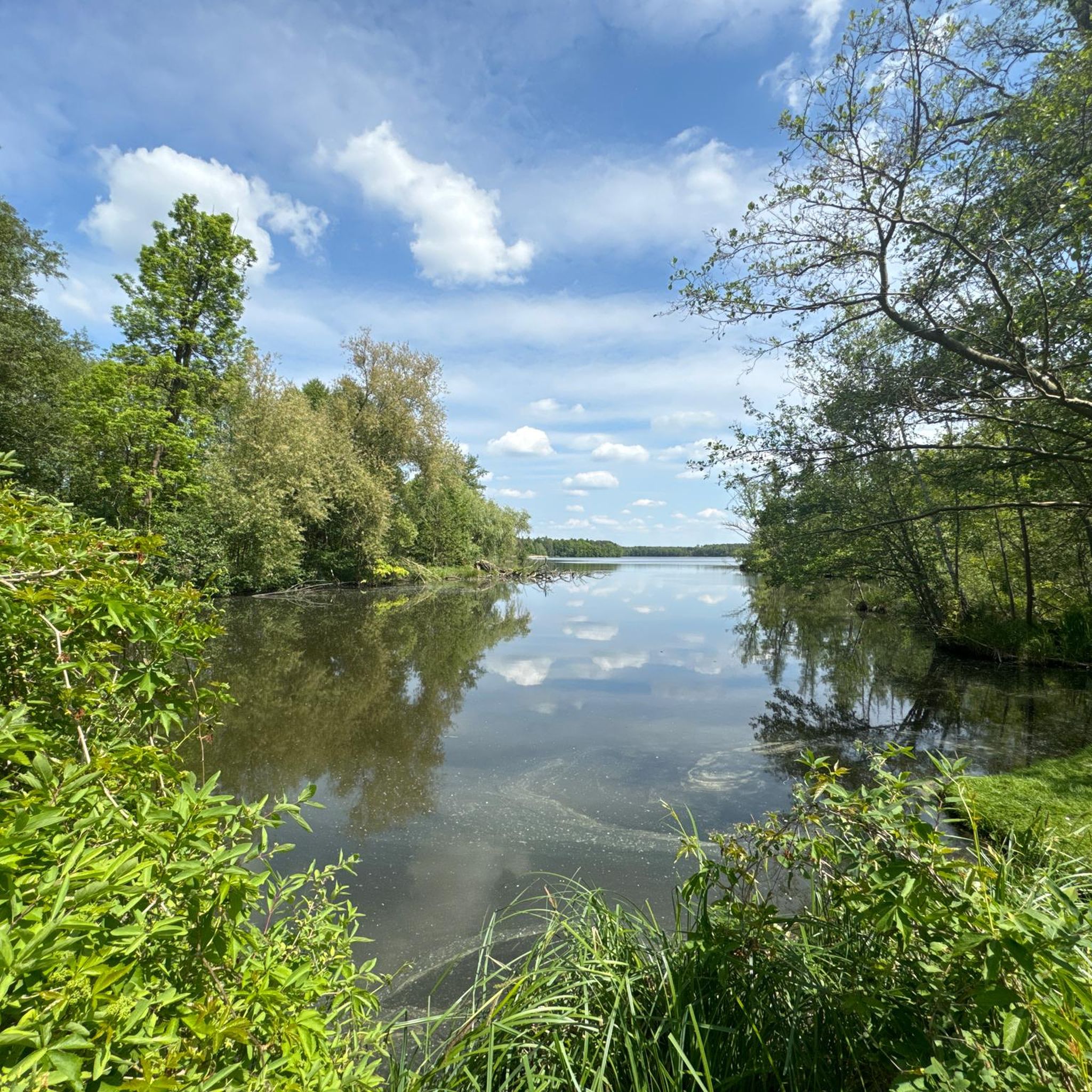
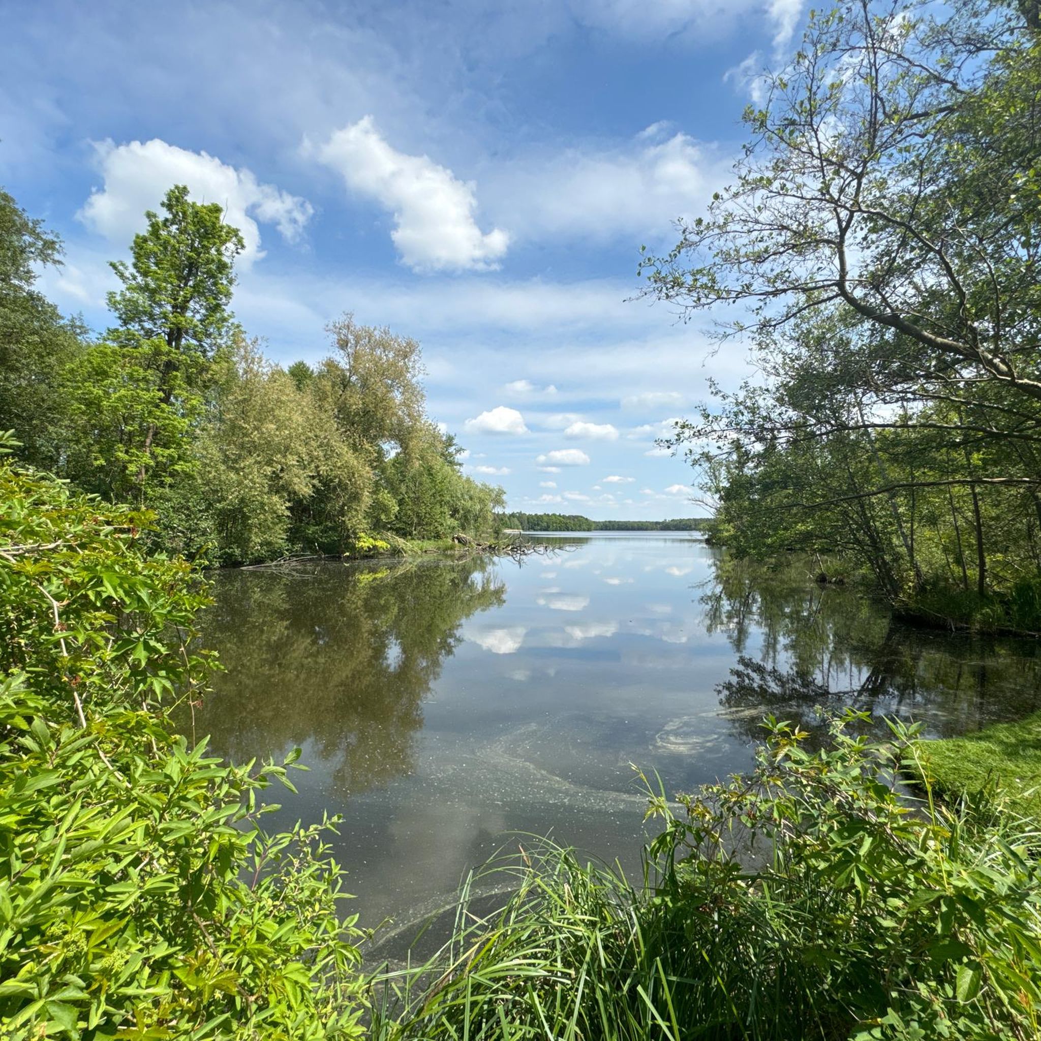
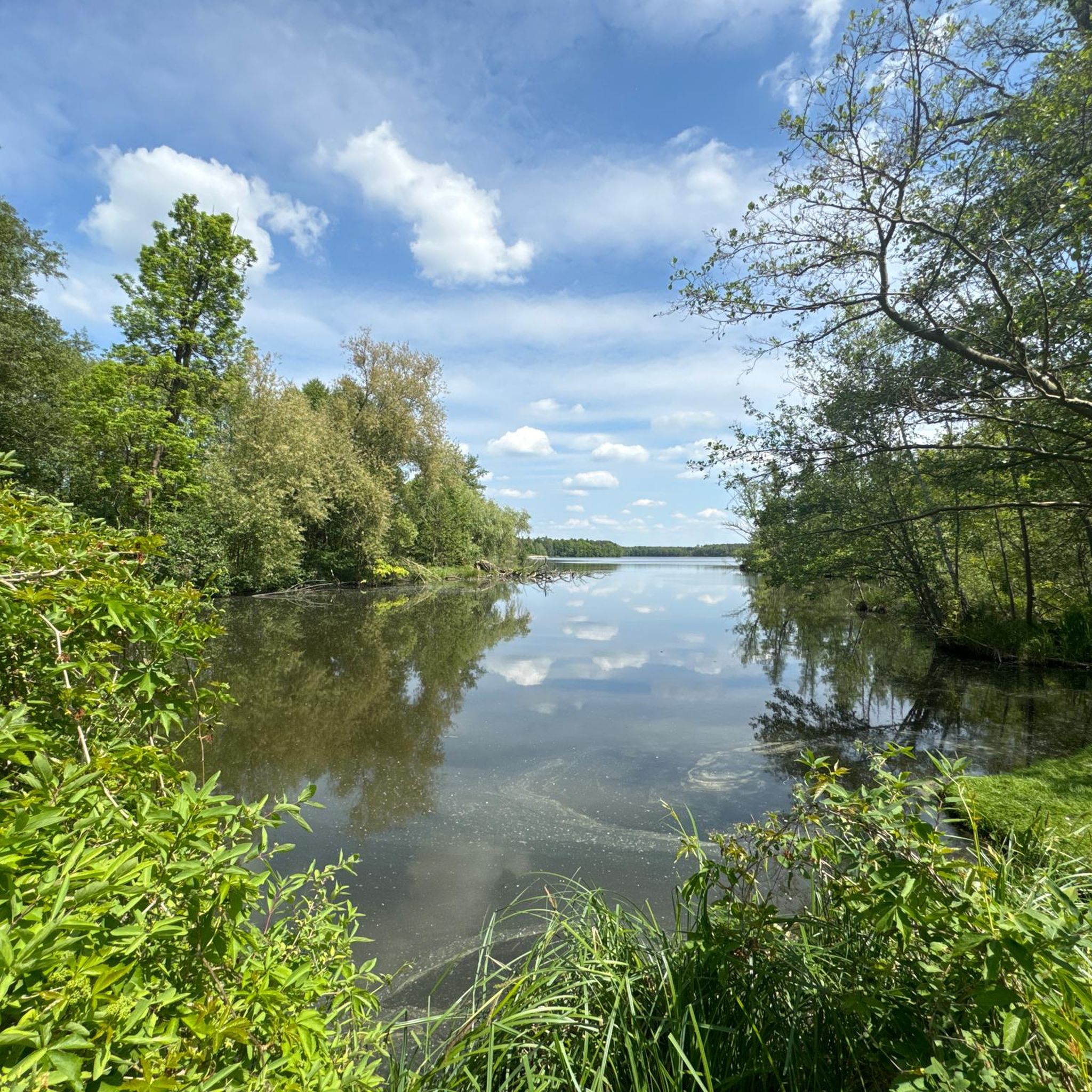
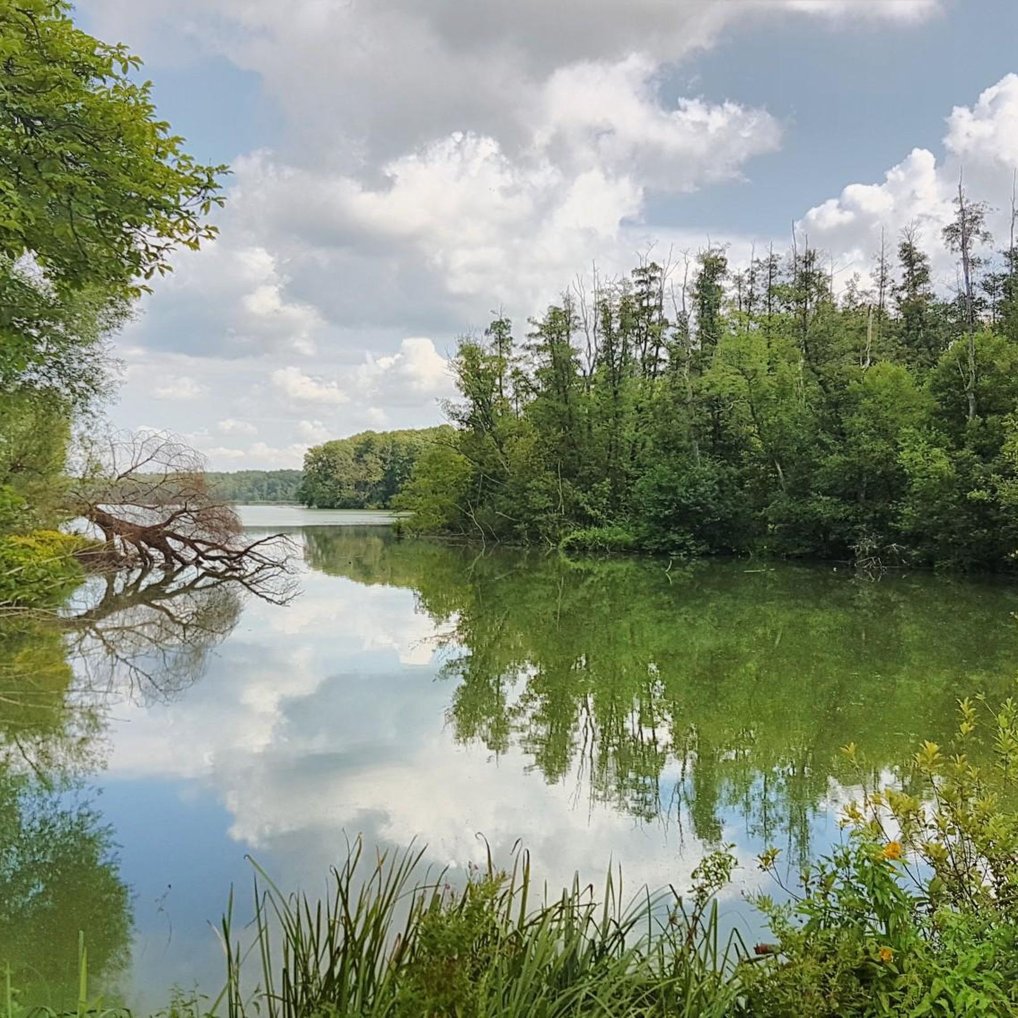
Hiking around Stahnsdorfer Lake, located within the Dahme-Heideseen Nature Park in Brandenburg, Germany, offers diverse natural features. The region is characterized by accessible lakeside paths, particularly along the western shore, and extensive wetlands on the eastern side. Shady forests and field edges provide varied scenery, while the Storkower Canal, connected by the Stahnsdorfer Fließ, adds a historical waterway element to the landscape. The area features generally low elevation changes, making routes accessible.
Best hiking trails around Stahnsdorfer Lake
- The most…
Last updated: July 10, 2026
4.5
(2)
12
hikers
Easy hike. Great for any fitness level. Easily-accessible paths. Suitable for all skill levels.
4.0
(4)
7
hikers
Moderate hike. Good fitness required. Easily-accessible paths. Suitable for all skill levels.

Sign up for free
4.0
(2)
2
hikers
7.42km
01:53
10m
10m
Easy hike. Great for any fitness level. Easily-accessible paths. Suitable for all skill levels.
4.6
(5)
31
hikers
Moderate hike. Good fitness required. Easily-accessible paths. Suitable for all skill levels.
5.0
(3)
19
hikers
Moderate hike. Good fitness required. Easily-accessible paths. Suitable for all skill levels.
Get access to more routes and recommendations from other explorers.
Sign up for free
Already have an account?
Our route recommendations are based on thousands of hikes, rides, and runs completed by other people on komoot.
Start today with a free account
Your next adventure awaits.
Login or Signup
Tips from the Community

Always a nice destination, the village oven🫶
0
0
I'm completely captivated by the swans. I could sit here for hours 🏝🏖
0
0
The blacksmith's shop has a lot of stories to tell; it's a beautiful old building. 🧱
0
0
It's wonderfully peaceful here by the lake, totally relaxing 😎
0
0


Here you'll find a lovely restaurant, a farm shop, and exciting events are occasionally offered. My recommendation is the freshly made sandwiches from the farm shop. They're quickly prepared in front of your eyes and are delicious. If the weather's nice, you can enjoy them outside on the picnic benches or head down to the lake, where there are also some seating areas. You can find more information and opening hours here: https://koellnitz.de/.
2
0
Very beautiful path through shady forest and past field edges.
1
0
Groß Schauener See is part of the Dahme-Heideseen Nature Park. It is part of a picturesque chain of lakes formed by ice-age glaciers. Today, the lake is an important nature reserve managed by the Heinz Sielmann Foundation. Here you'll find the Köllnitz Fishery (with a restaurant and farm shop) and the Sielmann Foundation (with an exhibition hall). You can get very close to the lake and enjoy the wonderful atmosphere.
1
0
Frequently Asked Questions
How many hiking trails are available around Stahnsdorfer Lake?
The area around Stahnsdorfer Lake offers a wide variety of hiking opportunities, with over 330 routes recorded on komoot. These range from easy strolls to more challenging excursions, ensuring options for various fitness levels.
What is the typical terrain and difficulty level of hikes around Stahnsdorfer Lake?
The trails around Stahnsdorfer Lake are generally easy to navigate, characterized by low elevation changes. You'll find accessible lakeside paths, shady forests, and field edges. There are 167 easy routes, 148 moderate routes, and 19 difficult routes available.
Are there family-friendly hiking options near Stahnsdorfer Lake?
Yes, many routes around Stahnsdorfer Lake are suitable for families due to their generally easy terrain and low elevation changes. The accessible lakeside paths and shady forests provide pleasant environments for walks with children. An example of an easy route is the Guesthouse of the Helling family loop from Storkower Kanal, which is 4.6 miles (7.4 km) long.
Are dogs allowed on the hiking trails around Stahnsdorfer Lake?
While the region is generally dog-friendly, specific rules may apply in designated nature reserve areas, such as the island in the middle of Stahnsdorfer Lake which hosts a grey heron colony. It's always best to keep dogs on a leash, especially in natural habitats, to protect local wildlife.
What natural features or landmarks can I expect to see while hiking?
Hikers can explore diverse natural features including accessible lakeside paths, extensive wetlands on the eastern shore, and shady forests. A notable natural monument is the 'Wurzelkiefer von Wolzig' (Wolzig Root Pine), an ancient pine with an exposed root system. The Storkower Canal, with its historic lock, and an old mill dating back to 1537 at the Stahnsdorfer Fließ, also offer points of interest.
Are there any circular hiking routes around Stahnsdorfer Lake?
Yes, many of the routes around Stahnsdorfer Lake are designed as loops, allowing you to start and end at the same point. An example is the moderate Guesthouse of the Helling family – View of the Village Smithy loop from Storkower Kanal, which is 6.3 miles (10.1 km) long and offers views of the canal and surrounding natural areas.
What is the best time of year to go hiking around Stahnsdorfer Lake?
The area is beautiful year-round. Spring and autumn offer pleasant temperatures and vibrant scenery, with autumn showcasing rich colors in the forests. Summer is ideal for combining hikes with a refreshing swim in the lake, while winter can provide tranquil, snowy landscapes, though some paths might be less accessible.
Is there public transport access to the hiking trails?
Yes, the Stahnsdorfer Lake area is accessible by public transport. You can reach the region via connections to towns like Storkow or Alt Stahnsdorf, from where local buses or short walks can lead you to various trailheads. It's advisable to check local transport schedules for the most current information.
Are there places to swim after a hike?
Yes, Stahnsdorfer Lake offers designated swimming areas, such as the one at Alt-Stahnsdorfer See, which provide scenic views and a refreshing way to cool off after exploring the trails. Motorboats are prohibited on the lake, ensuring a peaceful environment for swimmers.
What do other hikers enjoy most about hiking in Stahnsdorfer Lake?
The area is highly rated by the komoot community, with an average score of 4.6 stars from over 1,500 reviews. Reviewers often praise the tranquil atmosphere, the diverse scenery of lakeside paths and shady forests, and the accessibility of routes for various skill levels. The prohibition of motorboats contributes to a peaceful experience.
Are there any longer, more challenging routes for experienced hikers?
While many routes are easy to moderate, there are options for longer excursions. For example, the Kummersdorf Lock – Eel Farm Groß Schauener loop from Storkower Kanal is a moderate 8.8 miles (14.1 km) trail that allows for a longer exploration of the region's natural and historical sites.
Where can I find parking near the hiking trailheads?
Parking facilities are available in the vicinity of Stahnsdorfer Lake, particularly near popular access points like Storkower Kanal or Alt Stahnsdorf. Specific parking information can often be found on local tourist information websites or by checking maps for designated parking areas near trail starts.
Most popular routes around Stahnsdorfer Lake
Most popular attractions around Stahnsdorfer Lake

Get inspired with the komoot mobile app


Explore more
Browse the best Hikes in other regions.
