The best cycling routes around North Star
4.7
(31)
407
riders
56
rides
Touring cycling routes around North Star traverse a landscape characterized by rolling hills and a network of natural areas. The region features varied terrain, including sections along White Clay Creek and through established parklands. Elevations are generally moderate, with some routes offering gradual climbs through wooded areas. The area provides a mix of open spaces and shaded paths suitable for touring cyclists.
Best touring cycling routes around North Star
- The most popular touring cycling route is White Clay Creek Preserve…
Last updated: July 2, 2026
27
riders
19.7km
01:47
250m
250m
The Middle Run Natural Area – Benches loop from Pike Creek offers a unique touring cycling experience through lush woodlands and scenic stream valleys. This 12.2-mile (19.7 km) route, rated…
4.0
(1)
11
riders
9.86km
00:49
50m
50m
Easy bike ride. Great for any fitness level. Mostly paved surfaces. Suitable for all skill levels.

Sign up for free
11
riders
17.0km
01:28
220m
220m
Moderate bike ride. Good fitness required. Mostly paved surfaces. Suitable for all skill levels.
10
riders
40.1km
03:14
400m
400m
Moderate bike ride. Good fitness required. Mostly paved surfaces. Suitable for all skill levels.
10
riders
13.5km
01:12
150m
150m
Moderate bike ride. Good fitness required. Mostly paved surfaces. Suitable for all skill levels.
Get access to more routes and recommendations from other explorers.
Sign up for free
Already have an account?
Our route recommendations are based on thousands of hikes, rides, and runs completed by other people on komoot.
Start today with a free account
Your next adventure awaits.
Login or Signup

Tips from the Community

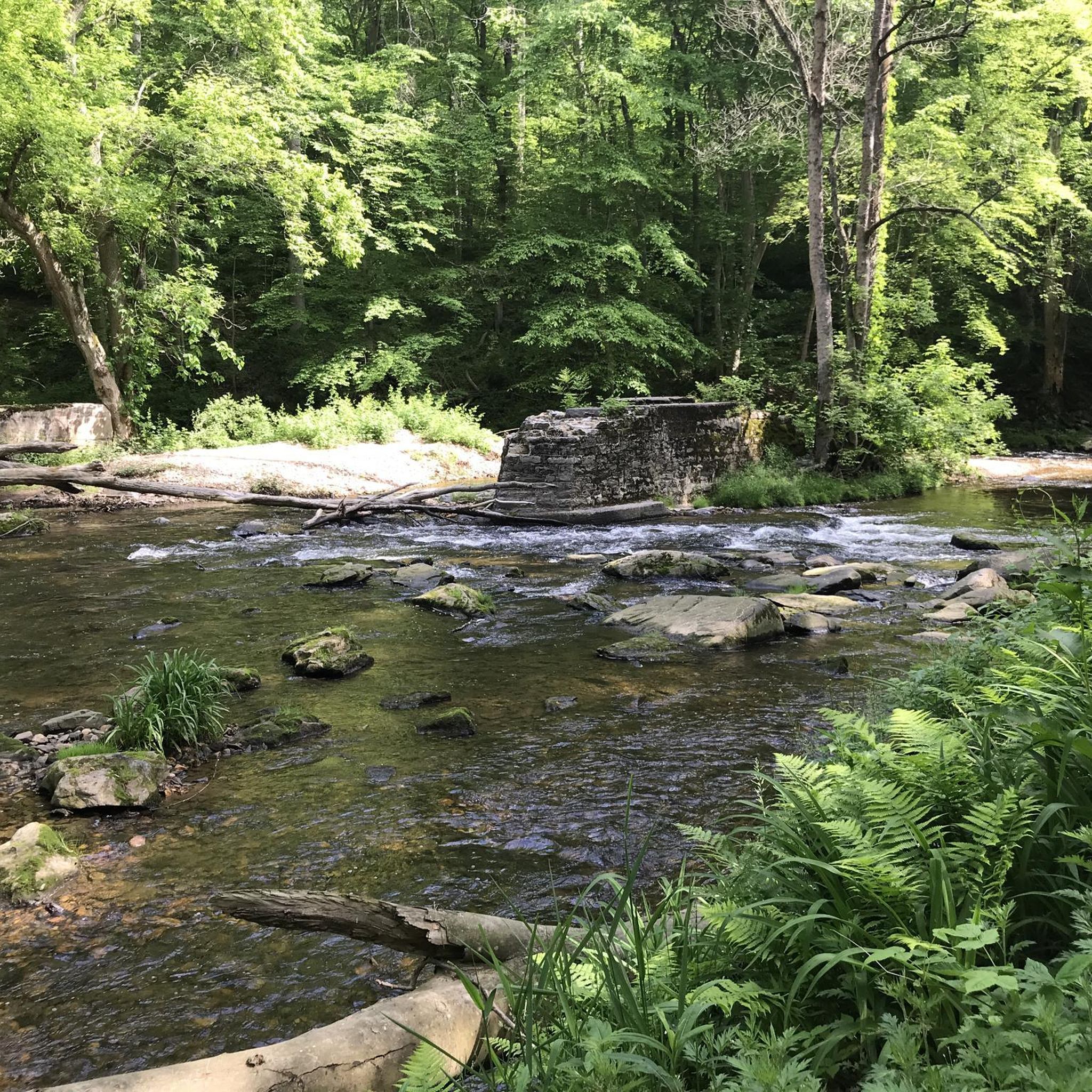
Small slice of local history just one trail away. Great little adventure to ride by.
0
0

Great place for a trail run. Nicely shaded and easy to access. Be prepared to pay for parking.
0
0
History of White Clay Creek. Nice to learn some local history while riding or hiking.
0
0
Nice single track through the woods. Some of it is a bit rough on a gravel bike, but certainly passable. I think I would prefer this track on a mountain bike, but still a good ride.
0
0

Middle Run Valley Natural Area is an 860-acre park with over 10 miles of hiking and biking trails. You can combine some of these trails with trails they meet with in White Clay Creek State Park for longer rides.
0
0
Pike Creek is a tributary to White Clay Creek. Pike Creek is just over 5 miles long.
0
0
Whitely Farms Trail begins near the remnants of the old Whitely Farm. It flows through rolling hills and has a moderate amount of tree coverage. This trail is also open to mountain bikers and can sometimes be muddy.
0
0

The Whitely Farms Trail is part of the 37-mile trail network that lies within White Clay Creek State Park. The trail features rolling hills and scenic views.
0
0
Frequently Asked Questions
How many touring cycling routes can I find around North Star?
There are over 50 touring cycling routes available around North Star, offering a variety of options for different skill levels and preferences. These routes traverse a landscape characterized by rolling hills and natural areas.
What do other touring cyclists say about the routes in North Star?
The touring cycling routes in North Star are highly rated by the komoot community, with an average score of 4.9 stars from over 19 reviews. Cyclists often praise the mix of open spaces and shaded paths, as well as the well-maintained trails through natural preserves and parklands.
Are there easy touring cycling routes suitable for beginners in North Star?
Yes, North Star offers approximately 20 easy touring cycling routes perfect for beginners or those seeking a relaxed ride. A great option is the Olan Thomas Park loop from London Britain Township, which is 12.7 miles (20.4 km) long and leads through pleasant parkland with moderate elevation changes.
Where can I find more challenging touring cycling routes around North Star?
For those looking for a greater challenge, North Star features about 7 difficult touring cycling routes, alongside 28 moderate options. The White Clay Creek Preserve – Middle Run Natural Area loop from London Britain Township is a moderate route that offers significant elevation gains over 17.5 miles (28.1 km), providing a good workout through natural preserves.
Are there family-friendly touring cycling routes in North Star?
Many of the easy and moderate routes in North Star are suitable for families, especially those that stick to established park trails and offer gentle gradients. The Whitely Farms loop from Milford Crossroads is an easy 10.3-mile (16.5 km) route with moderate elevation, making it a good choice for a family outing.
Can I find circular touring cycling routes in North Star?
Yes, many of the touring cycling routes around North Star are designed as loops, allowing you to start and end at the same point. Examples include the popular Middle Run Natural Area – Benches loop from Pike Creek, a 12.2-mile (19.7 km) moderate path, and the Middle Run Natural Area – Judge Morris Estate loop from Milford Crossroads, which is 14.8 miles (23.8 km).
What interesting sights or landmarks can I see while cycling around North Star?
While cycling around North Star, you can encounter several points of interest. Keep an eye out for historic structures like the Ashland Covered Bridge and the Fox catcher Farm Covered Bridge. The routes also often pass through natural areas such as White Clay Creek and the scenic Pomeroy Trail.
Are there dog-friendly touring cycling routes in North Star?
Many of the natural areas and parklands around North Star are dog-friendly, though specific regulations may vary. It's always best to check local signage or park websites for the most current rules regarding pets on trails. Generally, if dogs are permitted, they should be kept on a leash.
What is the best season for touring cycling in North Star?
The best seasons for touring cycling in North Star are typically spring and fall, when temperatures are mild and the natural scenery is at its peak. Spring brings blooming flora, while fall offers vibrant foliage. Summer can also be enjoyable, especially on routes with shaded sections, but be prepared for warmer temperatures.
Are there cafes or places to stop for refreshments along the touring cycling routes?
While specific cafes directly on every route are not guaranteed, many routes pass near or through small towns and communities where you can find local eateries and cafes. Planning your route with komoot allows you to discover points of interest and potential refreshment stops along the way.
Is public transport available to access touring cycling routes in North Star?
Access to touring cycling routes in North Star via public transport can be limited, as many routes start from more rural park entrances or trailheads. It is advisable to check local public transportation schedules and bike-on-bus policies if you plan to use public transport. Often, driving to a trailhead with parking is the most convenient option.
What are the typical distances and elevations for touring cycling routes in North Star?
Touring cycling routes in North Star vary significantly in distance and elevation. You can find routes as short as 6 miles (10 km) with minimal elevation gain, up to longer rides exceeding 20 miles (32 km) with several hundred feet of climbing. For instance, the White Clay Creek Preserve – Middle Run Natural Area loop covers 17.5 miles (28.1 km) with approximately 1150 feet (350 meters) of elevation gain.
Most popular attractions around North Star

Get inspired with the komoot mobile app


Explore more
Browse the best Cycling routes in other regions.
