The best road cycling routes around South Woodstock
4.0
(1)
29
riders
44
rides
Road cycling around South Woodstock, Vermont, features a landscape characterized by rolling hills, river valleys, and open spaces. The region's terrain includes moderate elevation changes, with routes often traversing scenic roads alongside natural preserves and water bodies. Road cyclists can expect a mix of rural roads and routes that connect various local points of interest.
Best road cycling routes around South Woodstock
- The most popular road cycling route is Tucker Preserve scenic road – Woodstock Avenue Open Space loop from…
Last updated: July 2, 2026
7
riders
35.6km
01:43
260m
260m
Easy road ride. Great for any fitness level. Mostly well-paved surfaces and easy to ride.
4
riders
60.0km
02:50
420m
420m
Moderate road ride. Good fitness required. Mostly well-paved surfaces and easy to ride.

Sign up for free
3
riders
48.5km
02:18
370m
370m
Moderate road ride. Good fitness required. Mostly well-paved surfaces and easy to ride.
4.0
(1)
3
riders
48.3km
02:18
510m
510m
Moderate road ride. Good fitness required. Mostly well-paved surfaces and easy to ride.
3
riders
29.3km
01:26
250m
250m
Easy road ride. Great for any fitness level. Mostly well-paved surfaces and easy to ride.
Get access to more routes and recommendations from other explorers.
Sign up for free
Already have an account?
Our route recommendations are based on thousands of hikes, rides, and runs completed by other people on komoot.
Start today with a free account
Your next adventure awaits.
Login or Signup
Popular around South Woodstock


Tips from the Community

The Putnam River Trail is a 1.8 mile long paved trail. It is part of the East Coast Greenway Trail. As the name suggests, it follows along the Putnam River and gives you great views of the water.
0
0

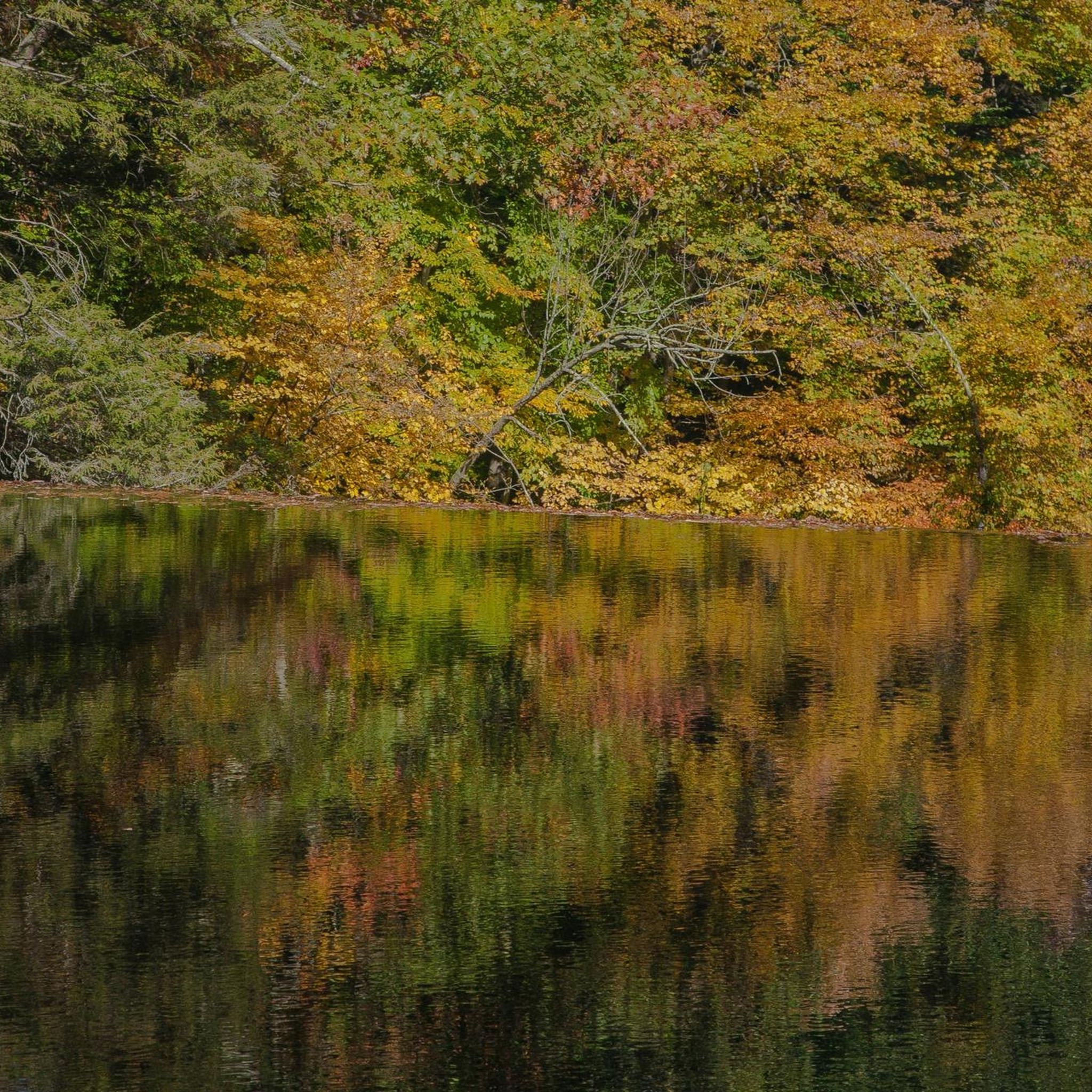
Experience breathtaking views of the Quaddick Reservoir along this scenic route. The autumn foliage accentuates the beauty, with tree-lined roads making it the quintessential New England ride!
0
0
Thompson, a charming New England town. It was named after Sir Robert Thompson, an English landholder. There are a few historic buildings and a lovely church.
0
0
As you make your way across the bridge you will see Grosvenordale Mills located on the banks of the French River. It's a nice place for a stop!
0
0
At Cargill Falls, you'll find a dam and cascades right in the heart of the city. From the Pomfret Bridge on US-44, you can see the wide dam and several flowing channels clearly. An island splits the Quinebaug River and the dam, creating a beautiful display of cascades below as the river rushes to reconnect.
0
0
The Putnam River Trail is a 1.8 mile long paved trail. It is part of the East Coast Greenway Trail. As the name suggests, it follows along the Putnam River and gives you great views of the water.
1
0

Woodstock Avenue Open Space and Sabin Street Open Space are next to each other, just separated by Little River. Ride past these tracts of green space in the fall and enjoy the trees changing color.
0
0

A pleasant river flows through the Mechanicsville Park area. This point provides a nice pull-off spot from the road, featuring several picnic benches and a great view of the water to enjoy.
1
0
Frequently Asked Questions
How many road cycling routes are available around South Woodstock?
You'll find nearly 40 road cycling routes around South Woodstock, offering a variety of experiences for different skill levels. The region is well-suited for exploring by bike.
Are there easy road cycling routes suitable for beginners in South Woodstock?
Yes, South Woodstock offers several easy road cycling routes. There are 6 routes specifically categorized as easy, such as the Brandy Hill – Old Daniels Dam loop from Putnam, which is 21.7 miles long and features rolling hills.
What kind of terrain can I expect on road cycling routes in South Woodstock?
Road cycling around South Woodstock is characterized by rolling hills, picturesque river valleys, and expansive open spaces. You'll encounter moderate elevation changes, with routes often traversing quiet rural roads and connecting various local points of interest.
Are there challenging road cycling routes for experienced cyclists?
While most routes are moderate, there is at least one route categorized as difficult for those seeking a greater challenge. The region's rolling hills provide ample opportunity for varied ascents and descents.
Can I find loop routes for road cycling in South Woodstock?
Absolutely. Many of the road cycling routes in South Woodstock are designed as loops, allowing you to start and end at the same point. Examples include the popular Tucker Preserve scenic road – Woodstock Avenue Open Space loop from Putnam and the Cargill Falls Reservoir – Putnam River Trail loop from Putnam.
What attractions can I see along the road cycling routes in South Woodstock?
Many routes offer scenic views and pass by local points of interest. You might cycle alongside the Putnam River Trail, see the historic Old Daniels Dam, or enjoy views of the Cargill Falls Reservoir. Some routes also pass by the West Thompson Dam.
What do other road cyclists enjoy most about the routes in South Woodstock?
The road cycling routes in South Woodstock are highly rated by the komoot community, with an average score of 4.0 stars. Cyclists often praise the scenic rural roads, the varied terrain of rolling hills, and the peaceful atmosphere of the preserve and open spaces.
Are there longer road cycling routes for endurance training?
Yes, for those looking for longer rides, routes like the Cargill Falls Reservoir – Putnam River Trail loop from Putnam cover a substantial distance of 37.3 miles (60.0 km), offering a good challenge for endurance.
What is the best season for road cycling in South Woodstock?
The best seasons for road cycling in South Woodstock are typically spring, summer, and fall. Spring offers fresh greenery, summer provides warm weather, and fall showcases stunning foliage. Always check local weather conditions before heading out.
Are there routes that follow river trails or offer waterside views?
Yes, several routes incorporate river trails and offer beautiful waterside views. For instance, the Cargill Falls Reservoir – Putnam River Trail loop from Putnam specifically highlights views of the reservoir and follows a river trail section.
Are there any less-traveled or 'hidden gem' routes for road cycling?
While specific 'hidden gems' are often discovered by local exploration, routes like the Grosvenordale Mills – French River loop from Quinebaug offer a pleasant experience through less-frequented areas, providing a sense of discovery away from the most popular trails.
Where can I find parking for road cycling routes in South Woodstock?
While specific parking details vary by route, many routes around South Woodstock originate from towns like Putnam or Quinebaug, where public parking options are generally available near trailheads or town centers. It's advisable to check the starting point of your chosen route for the most convenient parking.
Most popular routes around South Woodstock
Most popular attractions around South Woodstock

Get inspired with the komoot mobile app


Explore more
Browse the best Road cycling routes in other regions.
