The best walks and hikes around Griebnitzsee
4.6
(16010)
70,990
hikers
1,962
hikes
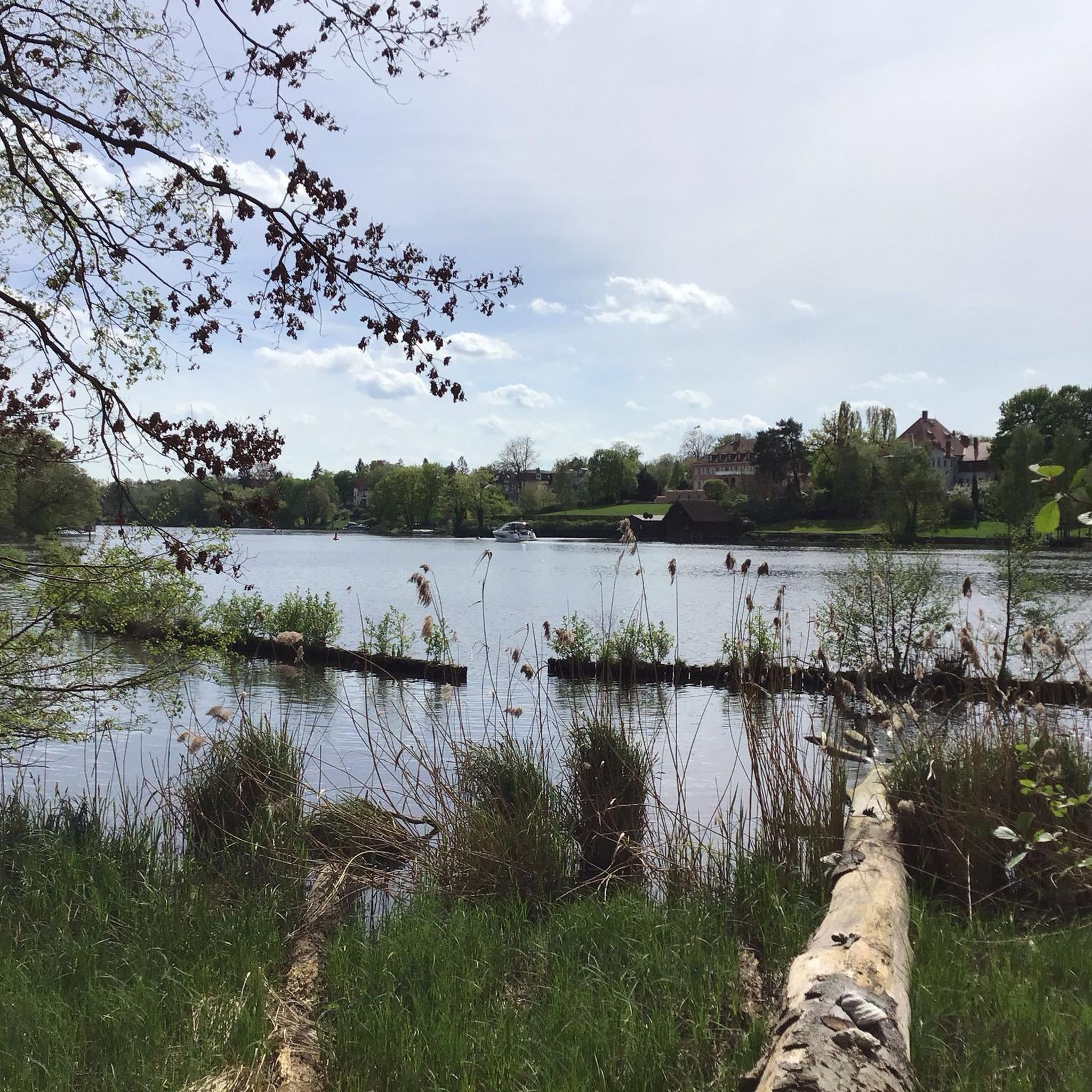
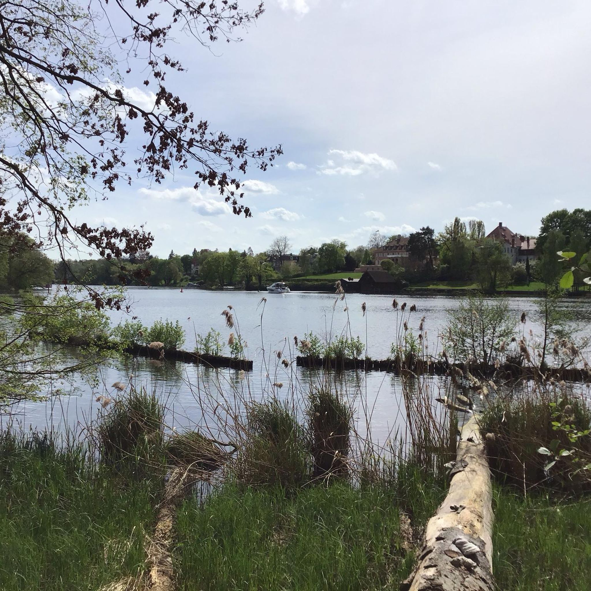
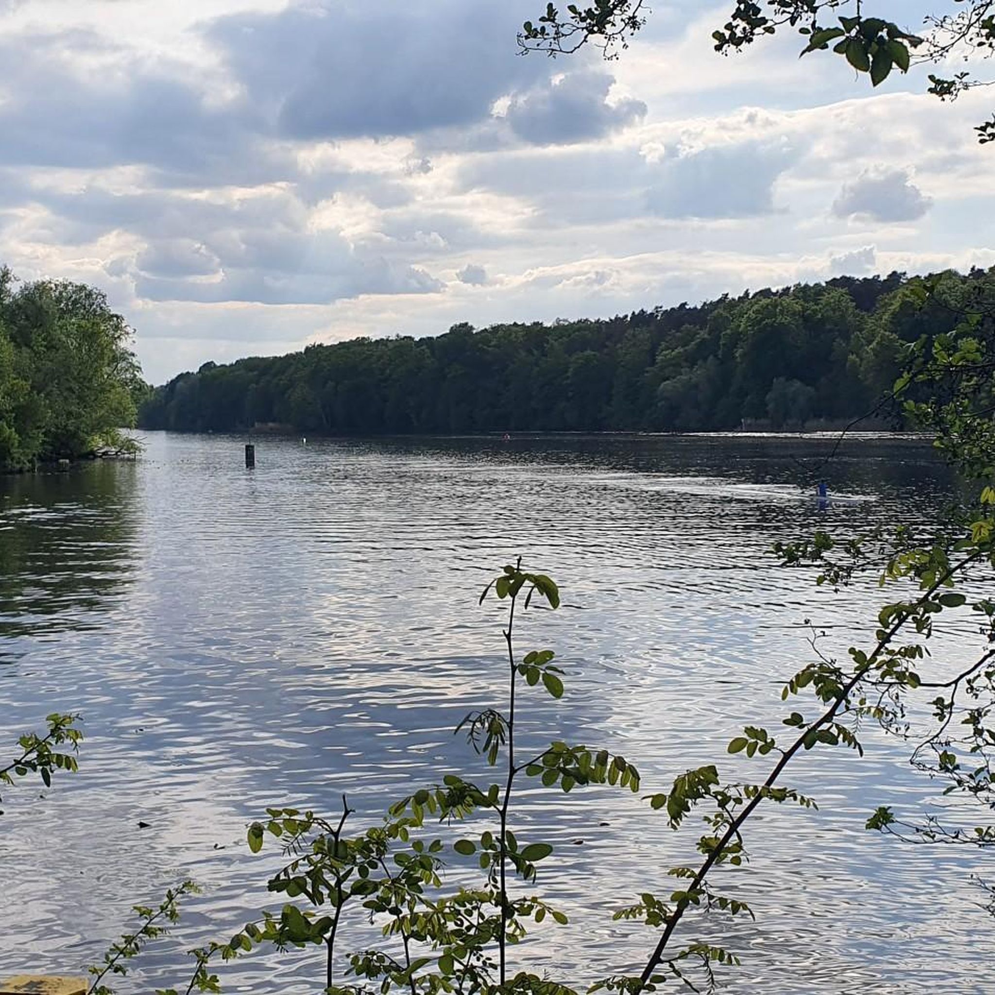
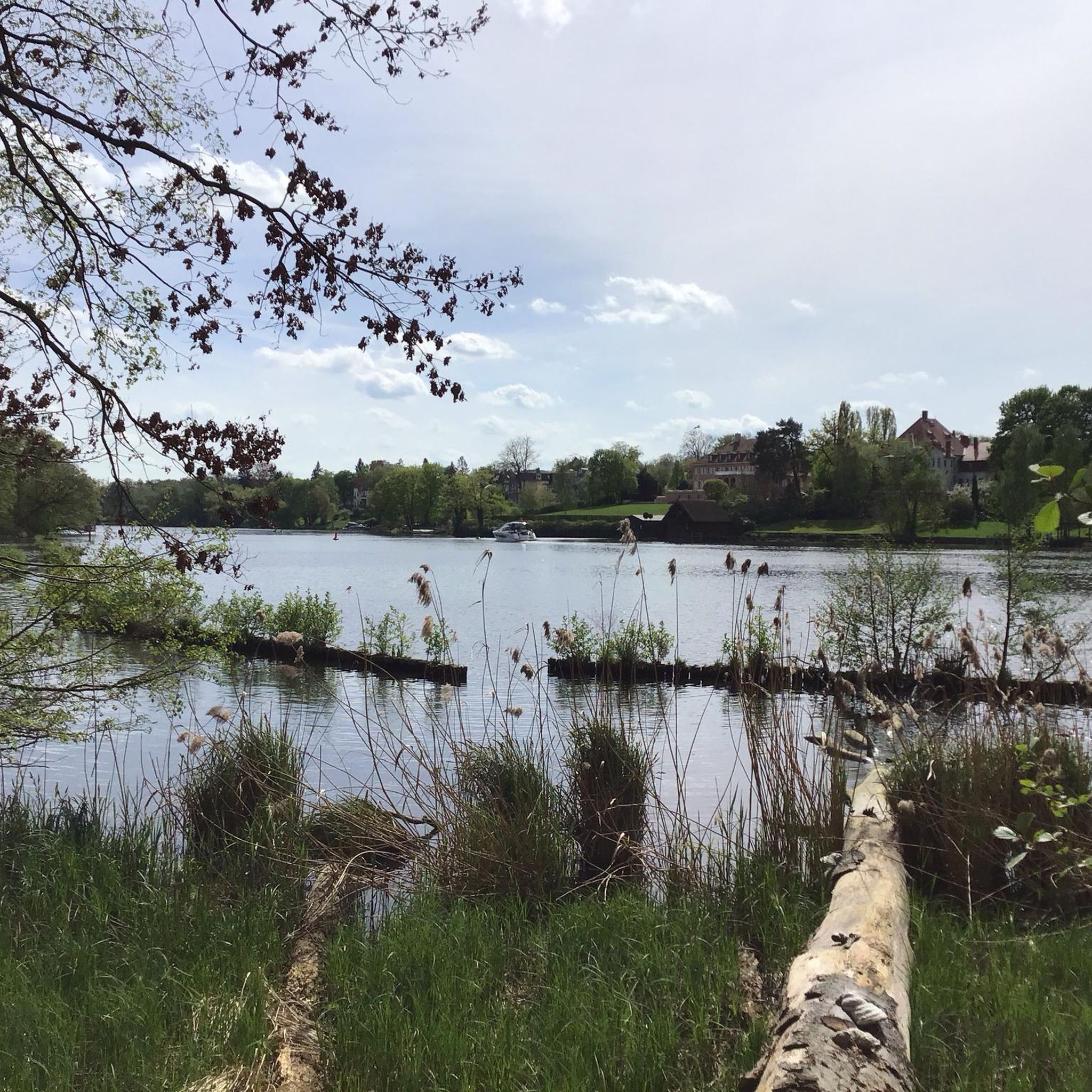
Hiking around Griebnitzsee features diverse landscapes centered around the lake and the Griebnitz Canal. The region includes extensive wooded areas, such as those connecting to the Westlicher Düppeler Forst, providing a natural setting for trails. Terrain varies from accessible paths to more undulating routes, often incorporating historical elements from its past as a borderland. These features contribute to a varied outdoor experience.
Best hiking trails around Griebnitzsee
- The most popular hiking route is Lake Griebnitz – Griebnitz Canal loop from…
Last updated: August 20, 2026
4.6
(244)
878
hikers
9.67km
02:29
40m
40m
Moderate hike. Good fitness required. Easily-accessible paths. Suitable for all skill levels.
4.8
(301)
934
hikers
Hard hike. Very good fitness required. Easily-accessible paths. Suitable for all skill levels.

Sign up for free
4.7
(73)
196
hikers
Moderate hike. Good fitness required. Easily-accessible paths. Suitable for all skill levels.
4.5
(33)
129
hikers
8.60km
02:13
40m
40m
Moderate hike. Good fitness required. Easily-accessible paths. Suitable for all skill levels.
4.8
(25)
125
hikers
29.0km
07:30
160m
160m
Hard hike. Very good fitness required. Easily-accessible paths. Suitable for all skill levels.
Get access to more routes and recommendations from other explorers.
Sign up for free
Already have an account?
Our route recommendations are based on thousands of hikes, rides, and runs completed by other people on komoot.
Start today with a free account
Your next adventure awaits.
Login or Signup
Tips from the Community

one of the filming locations of the Netflix series Dark 🎥
2
0

Very nice place with historic buildings all around and nice cafes and restaurants to linger.
3
0

Beautiful castle 🏰 with a great park - well worth seeing and a must-visit 🔝👍🏻😉👍🏻🎈‼️
2
0

A nice place for a drink break in summer
0
0

Before the rerouting, the A115 motorway ran west of Dreilinden. At this point, the motorway turned south toward the Teltow Canal. In doing so, it crossed the Potsdam Main Railway line (https://www.i2030.de/suedwest/). The old railway bridge is still preserved and a popular hiking destination. Also clearly visible is the crash barrier, which was intended to protect the central bridge pier from collisions with trucks. As part of the planning for its reopening, the question of whether the bridge is still needed is being considered.
2
0
Before the rerouting, the A115 motorway ran west of Dreilinden. At this point, the motorway turned south toward the Teltow Canal. In doing so, it crossed the Potsdam Main Railway line (https://www.i2030.de/suedwest/). The old railway bridge is still preserved and a popular cycling and hiking destination. Also clearly visible is the crash barrier, which was intended to protect the central bridge pier from collisions with trucks. As part of the planning for its reopening, the question of whether the bridge is still needed is being considered.
1
0

Connection between Griebnitzsee and Stölpchensee.
1
0
The view of the historic bridge from the palace gardens is wonderful. During the GDR era, this area was a restricted area.
5
0
Frequently Asked Questions
How many hiking trails are available around Griebnitzsee?
There are over 1800 hiking routes recorded around Griebnitzsee on komoot. This includes a wide variety of options, from easy strolls to more challenging, longer routes, ensuring there's something for every fitness level.
What kind of terrain can I expect on hikes around Griebnitzsee?
The terrain around Griebnitzsee is quite varied. You'll find easily accessible paths along the lake and Griebnitz Canal, extensive wooded areas, and some routes with more undulating sections. The landscape is shaped by glacial activity, offering a mix of flat and gently rolling hills, often feeling immersed in nature despite its proximity to urban areas.
Are there any family-friendly hiking options in Griebnitzsee?
Yes, Griebnitzsee offers many family-friendly trails. With over 1200 easy routes, you can find paths suitable for all ages. An excellent option is the Griebnitzsee – Lake Griebnitz loop from Großes Fenn, an easy 4.6-mile (7.4 km) path that provides pleasant lake views and is suitable for various fitness levels.
Can I bring my dog on the hiking trails around Griebnitzsee?
Many trails around Griebnitzsee are suitable for dog walking, offering plenty of natural spaces for your companion. It's always advisable to keep dogs on a leash, especially in nature protection areas or where wildlife might be present. Be mindful of local regulations and other hikers.
Are there circular walking routes around Griebnitzsee?
Yes, circular routes are a popular way to explore Griebnitzsee. For a comprehensive experience, consider the Lake Griebnitz – Griebnitz Canal loop from Griebnitzsee, a moderate 6.0-mile (9.7 km) trail that offers views of both the lake and the canal.
What historical landmarks can I see while hiking near Griebnitzsee?
Griebnitzsee has significant historical importance, particularly as a former borderland between East and West Germany. While hiking, you might encounter remnants of this past, such as areas near the Glienicker Bridge, a former border crossing. The area around the Griebnitzsee campus also bears traces of the Berlin Wall's impact. You can also visit the Truman Villa (Haus Erlenkamp), a notable historical site.
Are there good viewpoints or scenic spots along the trails?
Absolutely. The trails around Griebnitzsee offer numerous scenic spots, especially along the waterside paths of the lake and canal. A recommended viewpoint is the Admiral-Scheer View, providing picturesque vistas of the surroundings.
How can I reach the Griebnitzsee hiking trails using public transport?
Griebnitzsee is well-connected by public transport. The S-Bahn station Griebnitzsee provides direct access to many trailheads, making it convenient to start your hike without needing a car. This allows for easy exploration of the area's diverse routes.
Are there places to eat or get refreshments near the hiking routes?
Yes, you'll find options for refreshments. Near the Griebnitzsee S-Bahn station, there's a Refreshment hall. For a more relaxed stop, the Söhnel Werft Beer Garden is also nearby, offering a pleasant spot to rest and refuel.
What do other hikers enjoy most about Griebnitzsee?
The Griebnitzsee area is highly rated by the komoot community, with an average score of 4.6 stars from over 14,000 reviews. Hikers often praise the diverse landscapes, the serene waterside paths along the lake and canal, and the extensive wooded areas that provide a sense of natural immersion. The variety of routes, from easy to challenging, is also a frequently highlighted positive aspect.
What is the best time of year to hike around Griebnitzsee?
Griebnitzsee offers enjoyable hiking experiences throughout the year. Spring brings blooming nature, summer provides lush greenery and pleasant waterside walks, while autumn showcases vibrant foliage. Even in winter, the trails can be beautiful, offering a peaceful, crisp atmosphere, though some paths might be muddy or icy.
Are there any longer, more challenging hikes available?
Yes, for those seeking a longer challenge, the Griebnitz Canal – Griebnitzsee loop from Griebnitzsee is a difficult 14.0-mile (22.6 km) trail. This route leads through varied terrain and typically takes nearly six hours to complete, offering a more extensive exploration of the region.
Most popular routes around Griebnitzsee
Most popular attractions around Griebnitzsee

Get inspired with the komoot mobile app


Explore more
Browse the best Hikes in other regions.
