The best walks and hikes around Deutschfeistritz
4.5
(890)
3,981
hikers
43
hikes
Hiking around Deutschfeistritz offers diverse trails through a landscape characterized by green hills, gentle valleys, and extensive wooded areas. The region features the Feistritz River, providing riverside paths, and numerous mountain peaks that offer panoramic views. Hikers can explore varied terrain, from rolling alpine meadows to more challenging ascents to summits like Gschirrstein and Schartnerkogel. This environment provides a backdrop for a range of outdoor experiences.
Best hiking trails around Deutschfeistritz
- The most popular hiking route is Pfaffenkogelsteig, a…
Last updated: August 14, 2026
3.4
(5)
38
hikers
12.0km
04:00
470m
480m
Hard hike. Good fitness required. Sure-footedness, sturdy shoes and alpine experience required.
4.7
(112)
459
hikers
8.75km
03:20
530m
530m
Moderate hike. Good fitness required. Mostly accessible paths. Sure-footedness required.

Sign up for free
4.7
(18)
94
hikers
8.93km
02:59
340m
340m
Moderate hike. Good fitness required. Mostly accessible paths. Sure-footedness required.
4.6
(9)
53
hikers
Moderate hike. Good fitness required. Mostly accessible paths. Sure-footedness required.
4.0
(2)
47
hikers
8.72km
03:01
440m
440m
Moderate hike. Good fitness required. Mostly accessible paths. Sure-footedness required.
Get access to more routes and recommendations from other explorers.
Sign up for free
Already have an account?
Our route recommendations are based on thousands of hikes, rides, and runs completed by other people on komoot.
Start today with a free account
Your next adventure awaits.
Login or Signup
Popular around Deutschfeistritz
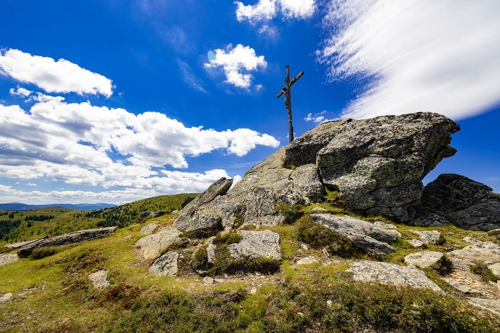
From the city to the countryside in ten minutes – hiking around Graz
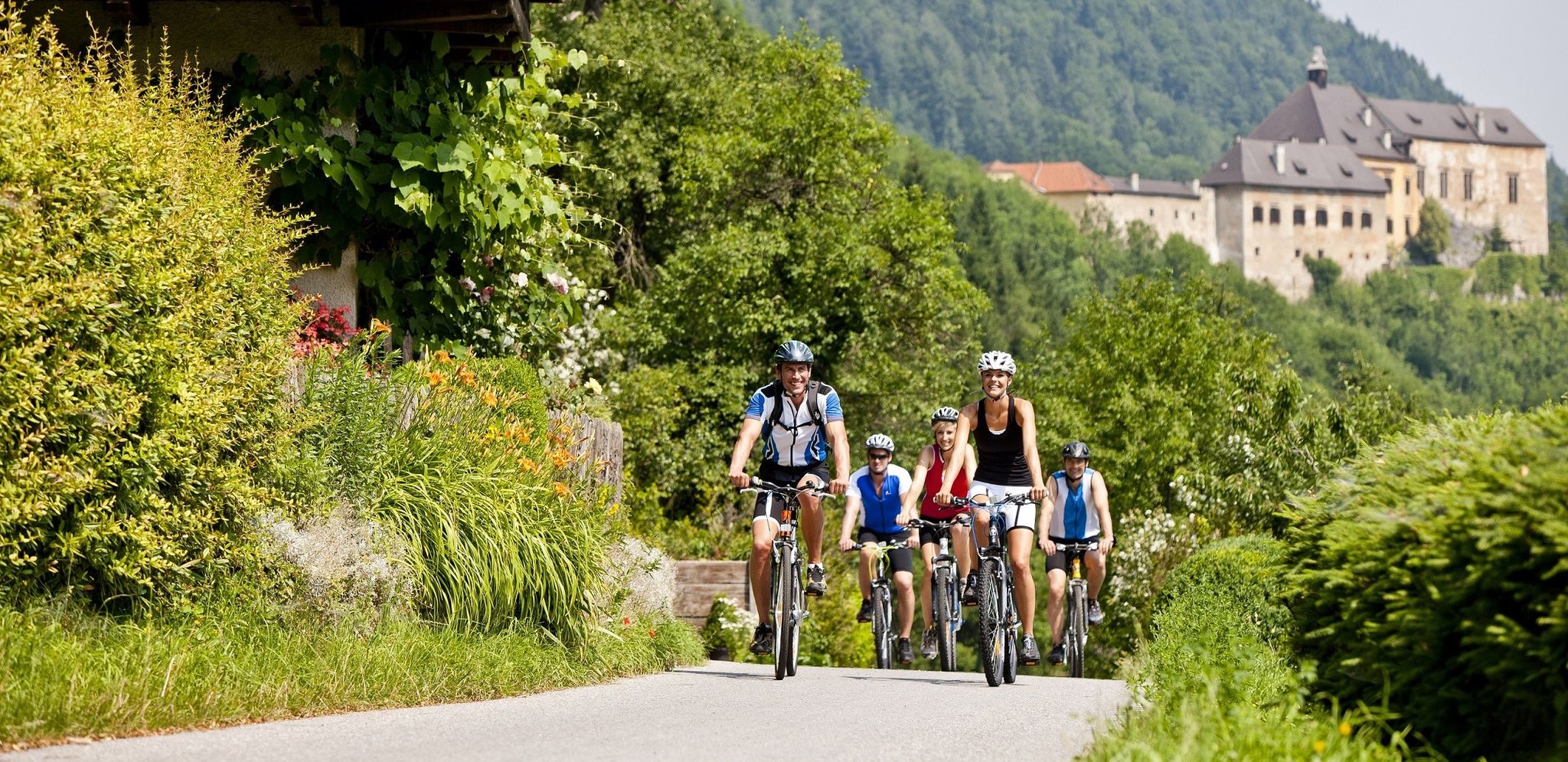
Have fun on two wheels – cycling in Austria’s Graz Adventure Region
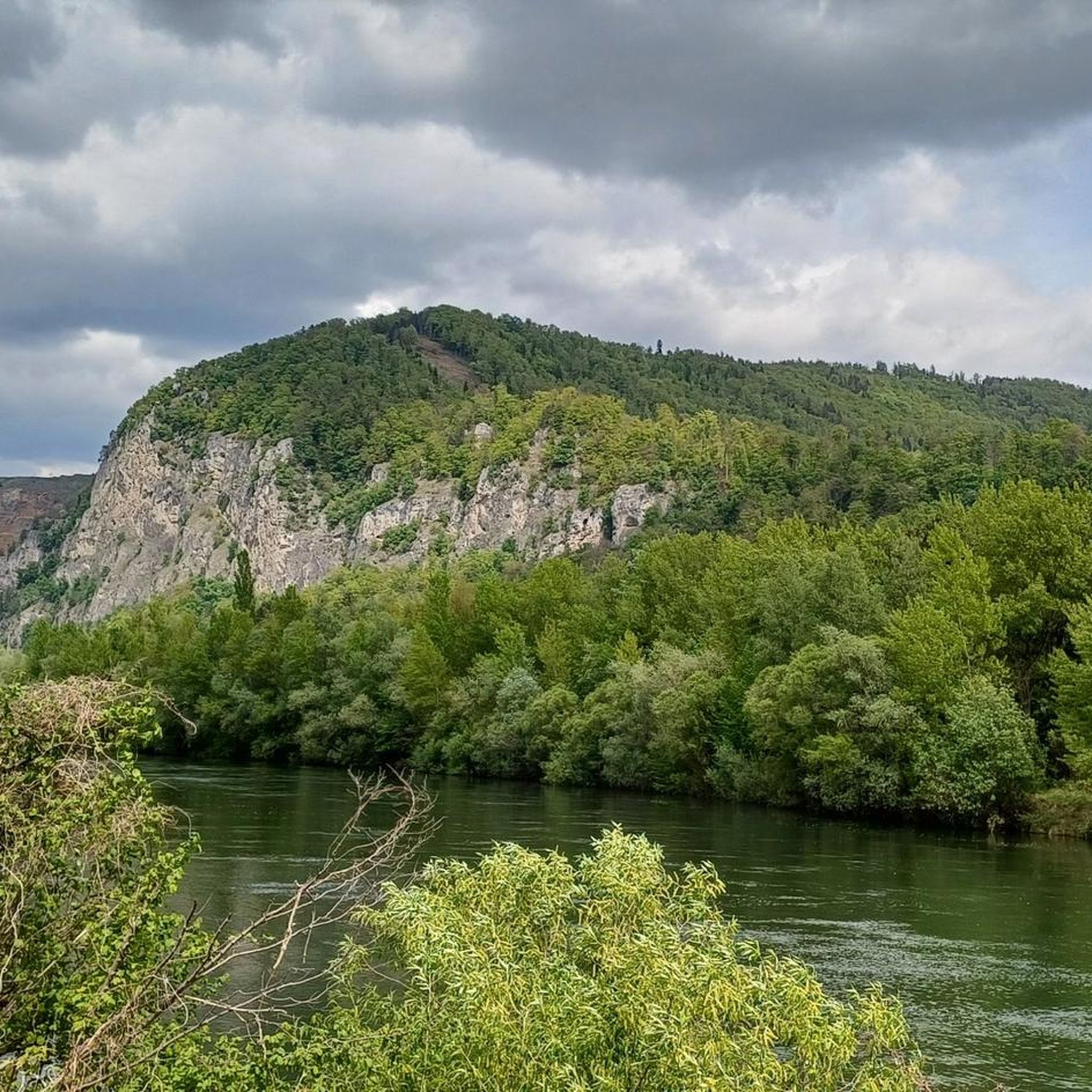
Cycling around Deutschfeistritz
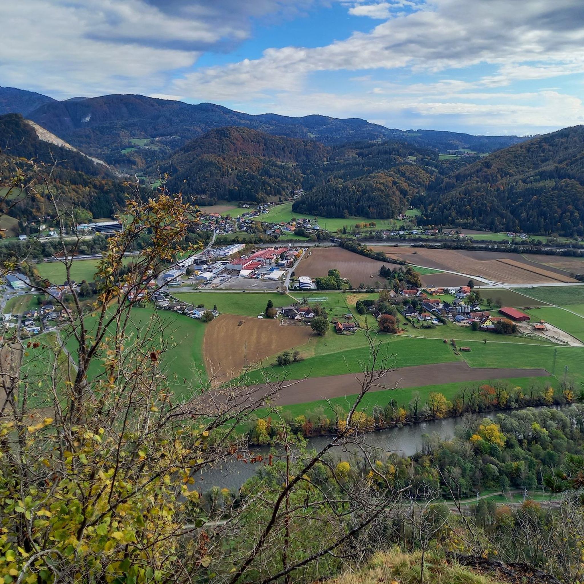
Road Cycling Routes around Deutschfeistritz
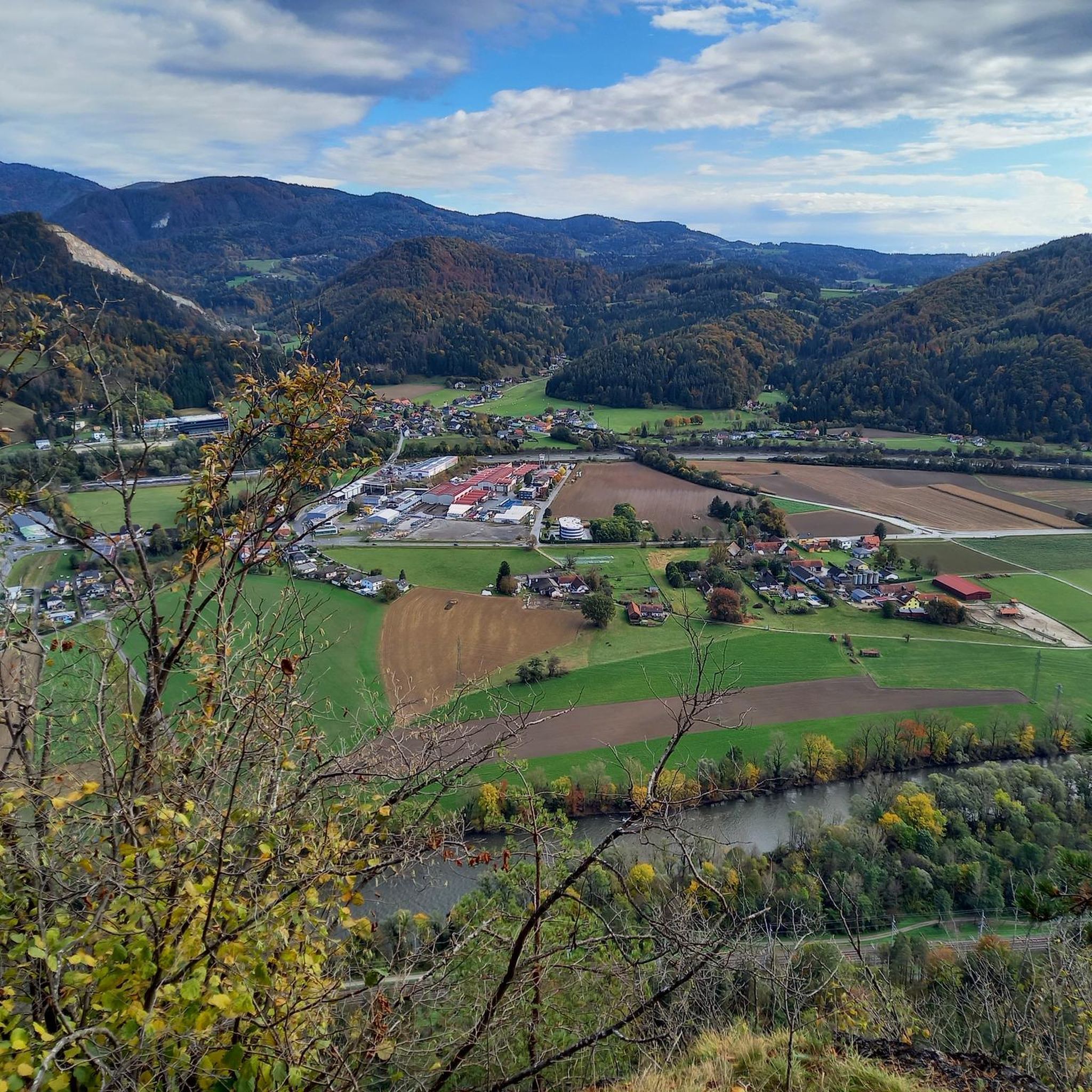
Running Trails around Deutschfeistritz
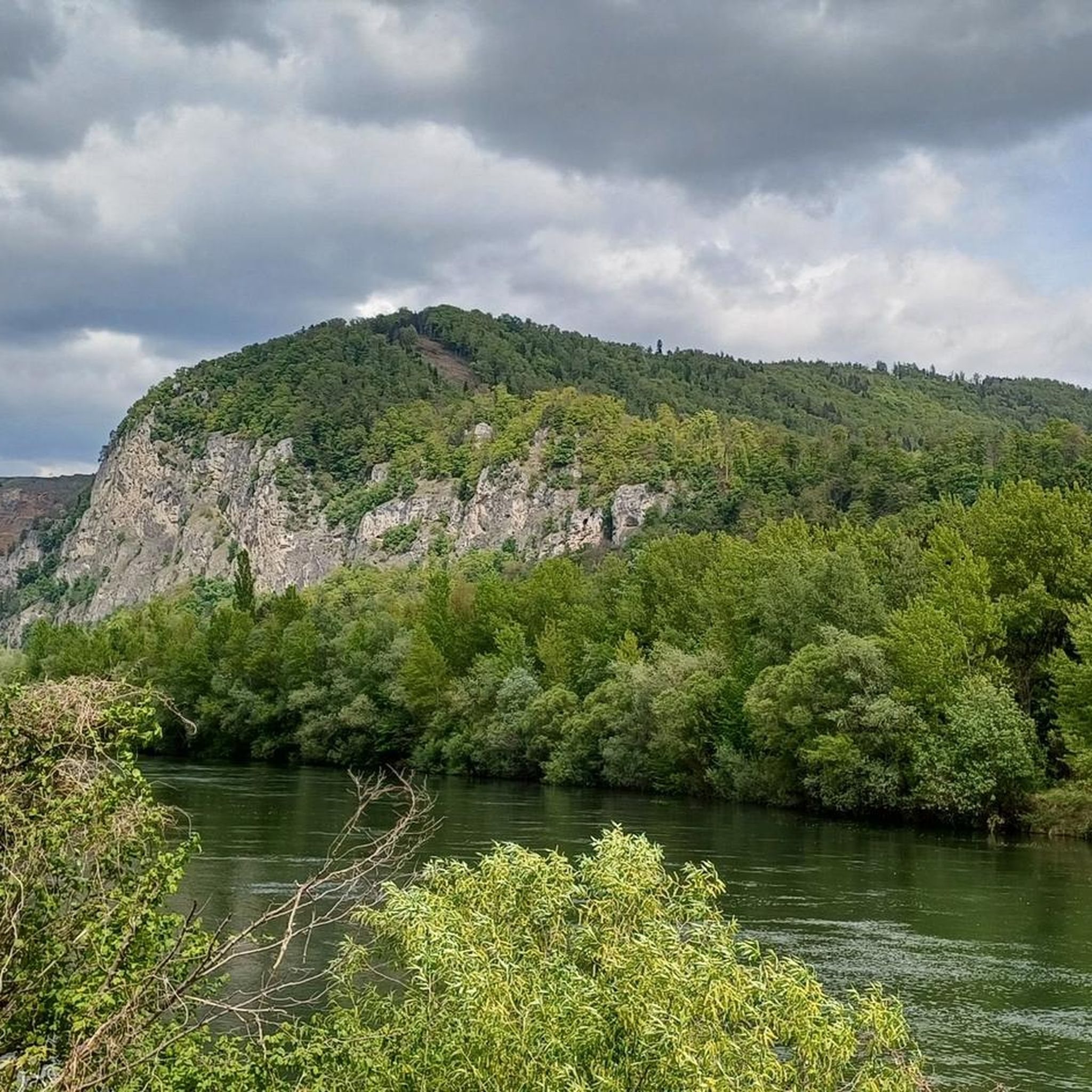
MTB Trails around Deutschfeistritz
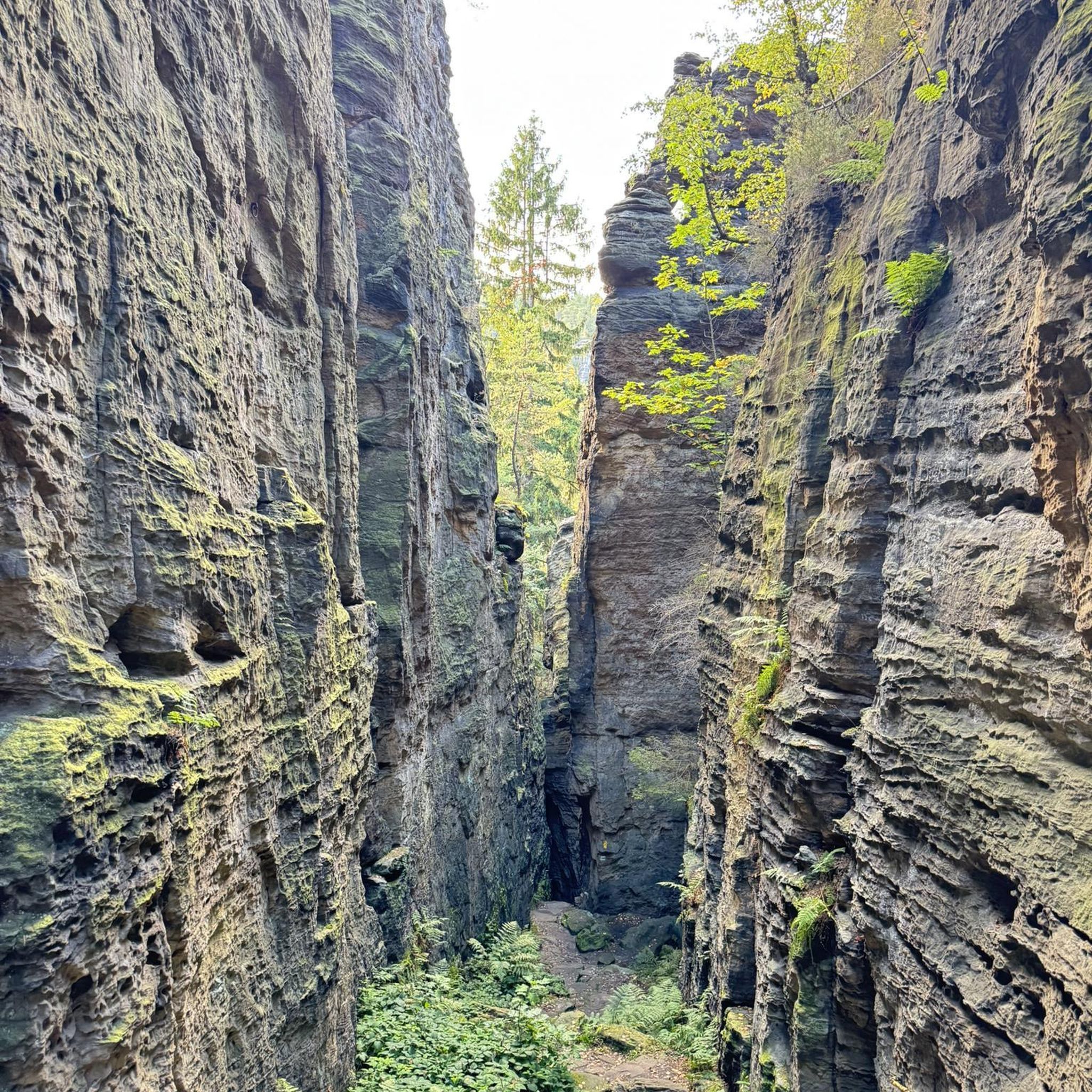
Mountain Hikes around Deutschfeistritz

Gravel biking around Deutschfeistritz

Tips from the Community

For a jogging round in Deutschfeistritz, I recommend the section on the path along the Mur river. This offers a flat and pleasant route with a beautiful view of the river and the surrounding nature. For those who like it more athletic and are looking for elevation gain, the challenging route through the shady Etscherlgraben is also great. Both variants are perfect for jogging in peace and enjoying nature.
0
0

Not far from the Pfaffenkogel with its transmission tower, which offers no view, is this vantage point with a beautiful view of the Murtal.
1
0

Many thanks to the three bridge builders!
0
0

For me, on my rounds, there is always a valuable fountain directly opposite the junction with the Stübingtal on the station forecourt.
0
0

Drinking water fountain in front of the train station
0
0

The Pfaffenkogel is particularly suitable for a leisurely hike. An ideal starting point is the parking lot at the Hörgasbauer.
1
0
Wonderful view of the Hochlantsch, the Rennfeld, the Rote Wand, the Röthelstein and the Hochtrötsch.
4
0
Leisurely hike in a nature reserve from Hörgasbauern to Pfaffenkogel with a view in the direction of Straßengel.
2
0
Frequently Asked Questions
How many hiking trails are available in Deutschfeistritz?
Deutschfeistritz offers a diverse network of over 40 hiking trails. These routes cater to various preferences, from leisurely walks to more challenging mountain ascents, ensuring there's something for every hiker.
What kind of difficulty levels can I expect on the hiking trails around Deutschfeistritz?
The trails around Deutschfeistritz offer a good mix of difficulty levels. You'll find 14 easy routes perfect for a relaxed stroll, 22 moderate trails for those seeking a bit more challenge, and 8 difficult routes for experienced hikers looking for demanding ascents.
Are there family-friendly hiking options in Deutschfeistritz?
Yes, Deutschfeistritz is well-suited for family hikes. The Deutschfeistritz Panorama Trail, a 10-kilometer route, is particularly recommended as it offers breathtaking landscapes and spectacular valley views suitable for families. Many of the easy and moderate trails are also great for outings with children.
Are there any circular hiking routes in Deutschfeistritz?
Yes, Deutschfeistritz features several excellent circular routes. For example, the View from Schartnerkogel – Summit of Schartnerkogel loop from Deutschfeistritz is a moderate 8.8 km path offering expansive views. Another popular option is the Summit cross on rocks – Pfaffenkogel loop from Stübing, which is 8.7 km and leads through wooded hills.
What natural features or landmarks can I see while hiking in Deutschfeistritz?
Deutschfeistritz is rich in natural beauty and landmarks. You can explore extensive wooded hills, rolling alpine meadows, and follow the Feistritz River. Notable peaks like Gschirrstein, Haneggkogel, and Schartnerkogel offer spectacular panoramic views. Don't miss the hidden Waldstein Waterfall, especially impressive after rainfall, or the historic Waldstein Castle for picturesque views.
Are there any trails that lead to viewpoints or summits with panoramic vistas?
Absolutely. Many trails in Deutschfeistritz lead to impressive viewpoints and summits. The ascent to the Gschirrstein summit rewards hikers with expansive vistas of the surrounding mountains. The View from Schartnerkogel – Summit of Schartnerkogel loop from Deutschfeistritz also provides excellent views from the Schartnerkogel peak. From these elevated points, you can often see as far as Graz and the wider Grazer Bergland.
What is the best time of year to go hiking in Deutschfeistritz?
The region is beautiful year-round, but summer is particularly recommended for ascents to peaks like Gschirrstein due to clearer conditions and expansive views. Spring and autumn offer vibrant colors and pleasant temperatures for exploring wooded hills and valleys. The Waldstein Waterfall is most impressive during spring or after heavy rainfall.
Are there any places to stop for refreshments or rest along the trails?
Yes, some trails offer opportunities for rest and refreshments. The Feistriztal circular trail, for instance, features several designated rest areas along the riverbanks. Additionally, you might find huts like Mühlbacherhütte or Gleinalm Schutzhaus in the broader area, which can be reached via some routes.
What do other hikers enjoy the most about hiking in Deutschfeistritz?
The hiking trails in Deutschfeistritz are highly rated by the komoot community, with an average score of 4.6 stars from over 770 reviews. Hikers often praise the diverse terrain, from green hills and wooded valleys to challenging mountain peaks, and the spectacular panoramic views from summits like Pfaffenkogel and Schartnerkogel.
Are there any trails that follow a river or offer waterside views?
Yes, the Feistriztal circular trail is an excellent option for those seeking waterside views. This 8-kilometer route allows hikers to experience unspoiled nature along the banks of the Feistritz River, complete with rest areas for relaxation.
Can I find trails that are part of a larger hiking network?
Yes, Deutschfeistritz is part of the extensive Grazer Bergland Hiking Trail. This 103-kilometer trail covers six stages, offering impressive landscapes, cultural highlights, and connecting various natural spaces and historical sites of the Graz uplands. You can explore sections of this larger network from Deutschfeistritz.
Are there any trails that lead to a summit cross?
Yes, several trails lead to summit crosses. The Summit cross on rocks – Pfaffenkogel loop from Stübing is one such route, offering views from the Pfaffenkogel. Another option is the Gamskogel summit cross – Bear Cave loop from Deutschfeistritz Hst, which takes you to the Gamskogel summit cross.
Most popular routes around Deutschfeistritz
Most popular attractions around Deutschfeistritz

Get inspired with the komoot mobile app


Explore more
Browse the best Hikes in other regions.
