The best walks and hikes around Grosser Maasdorfer Teich
4.6
(321)
1,114
hikers
196
hikes
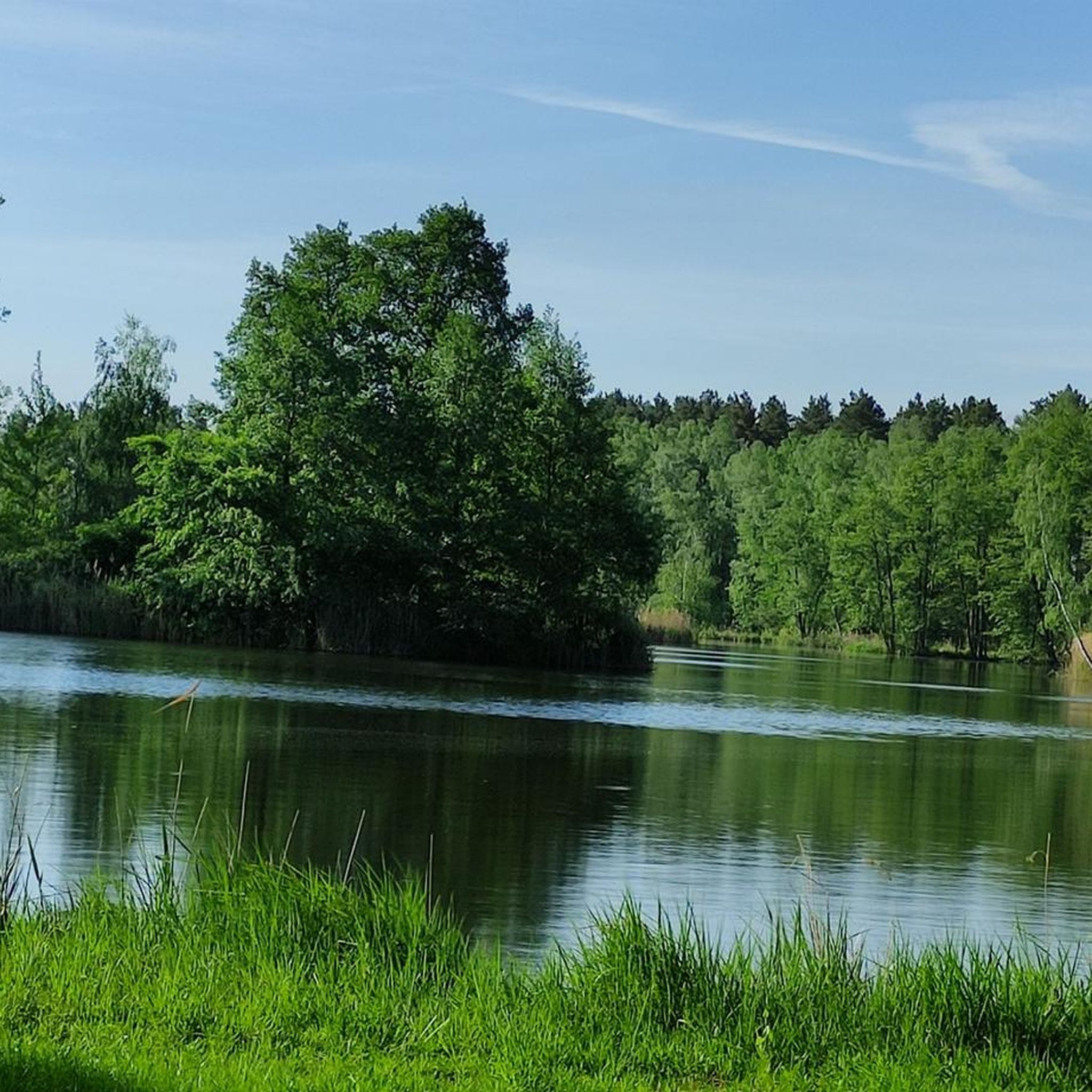
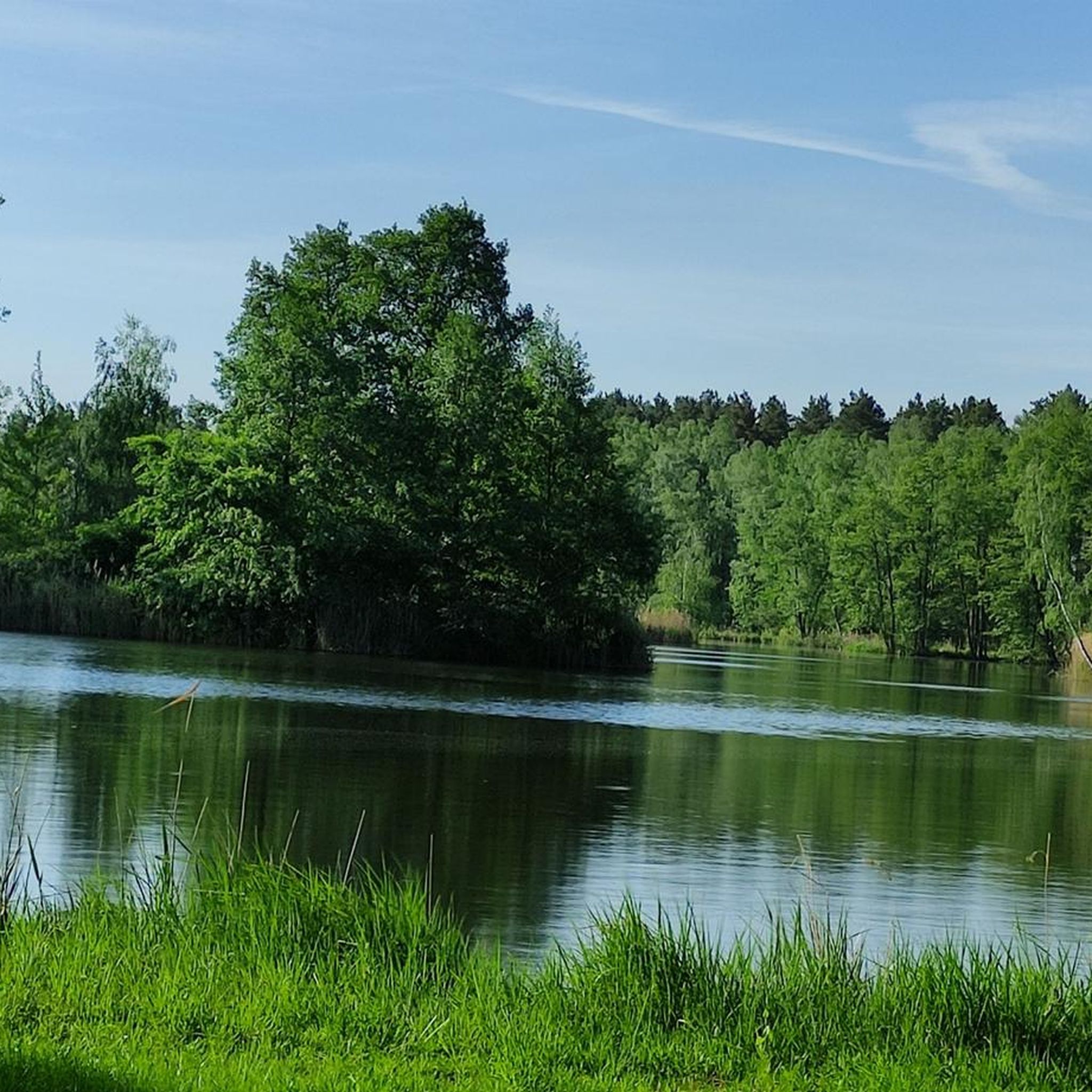
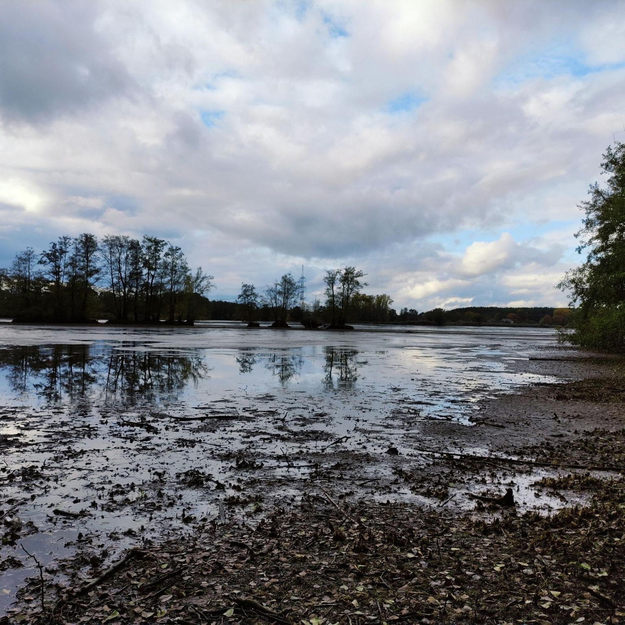
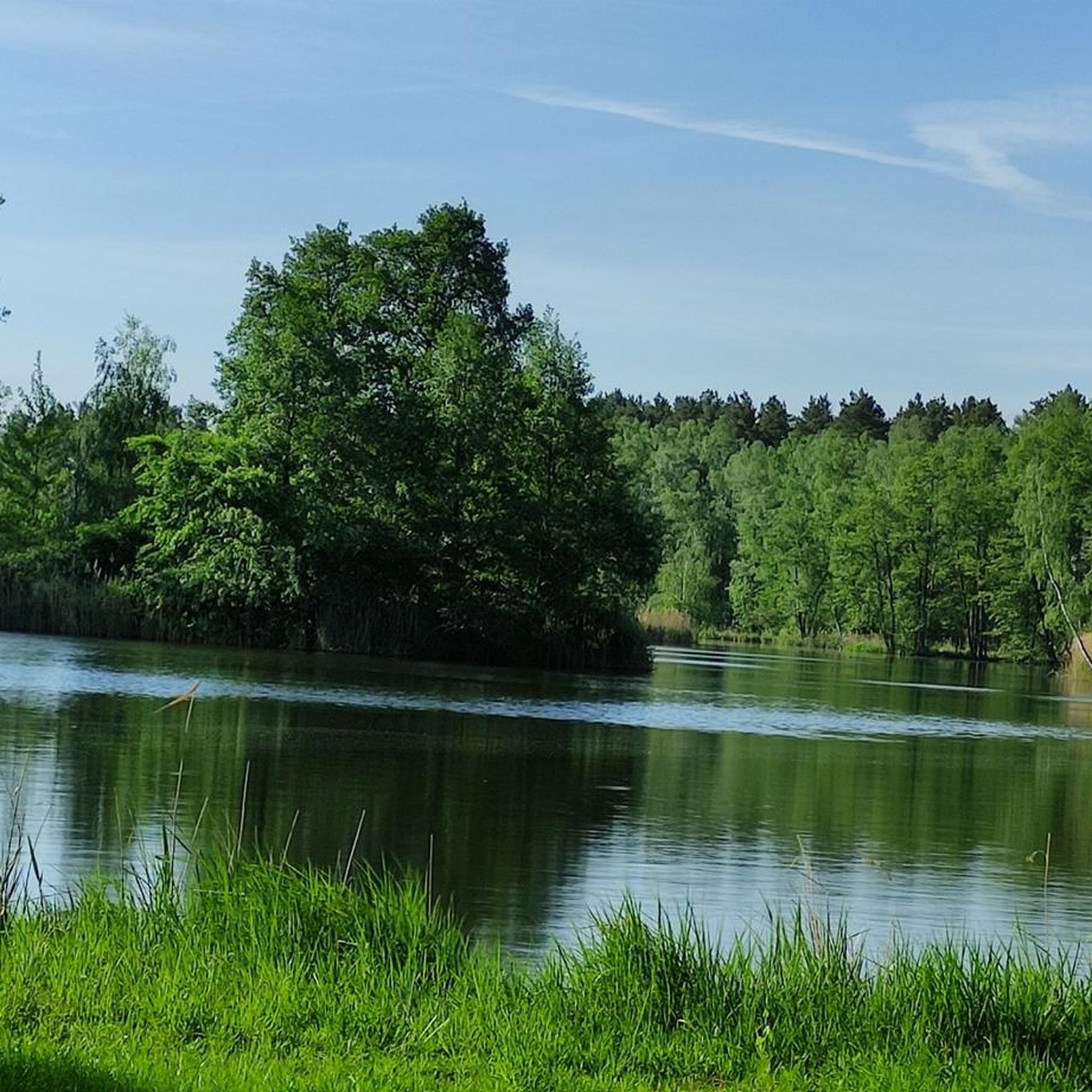
Hiking around Grosser Maasdorfer Teich offers exploration of a unique pond system and surrounding wetlands. The area features a network of ponds, some with islands and bays, originally established for fish farming. A renatured section of the Kleine Elster river meanders through the landscape, enhancing both visual appeal and ecological diversity. These natural features provide habitats for diverse wildlife, including various bird species and beavers.
Best hiking trails around Grosser Maasdorfer Teich
- The most popular hiking route is Maasdorf Ponds…
Last updated: July 6, 2026
4.8
(9)
30
hikers
4.32km
01:06
10m
10m
Easy hike. Great for any fitness level. Easily-accessible paths. Suitable for all skill levels.
4.7
(3)
7
hikers
7.54km
01:55
20m
20m
Easy hike. Great for any fitness level. Easily-accessible paths. Suitable for all skill levels.

Sign up for free
5
hikers
Moderate hike. Good fitness required. Easily-accessible paths. Suitable for all skill levels.
4.7
(3)
4
hikers
Moderate hike. Good fitness required. Easily-accessible paths. Suitable for all skill levels.
2
hikers
5.07km
01:18
20m
20m
Easy hike. Great for any fitness level. Easily-accessible paths. Suitable for all skill levels.
Get access to more routes and recommendations from other explorers.
Sign up for free
Already have an account?
Our route recommendations are based on thousands of hikes, rides, and runs completed by other people on komoot.
Start today with a free account
Your next adventure awaits.
Login or Signup
Tips from the Community

A beautiful place to linger. Especially on the second weekend in July each year, when the Rothstein Rock Festival is held at the foot of the rock. It's probably the largest folk festival in the area. A great place to celebrate.
0
0

There are many geese and ducks with young to see
0
0

Following the rapid increase in the number of children in Dobra and the farms, known as vineyards, located between Dobra and Bad Liebenwerda, from 20 to 140 students, the existing school, built in 1822 in the town center, was largely demolished and a larger new one was built on the same site. After only five months of construction, the new school building was opened in late summer 1879. At the same time, the motto for the growing generation, "What a man sows, that he shall reap," was carved in stone above the entrance door, clearly visible to all. A large classroom was set up on the ground floor, and the other rooms served as the teacher's residence. With the closure of the school in 1970, it was converted to a kindergarten. This resulted in significant structural changes to the building's appearance. In the early 1990s, childcare in this building came to an end. Since then, Dobra children have been required to attend the daycare center in the neighboring village of Zei.
14
0
At the entrance to the Weinberge Cemetery in Bad Liebenwerda stands an imposing memorial flanked by two large stone eagles commemorating the fallen and missing soldiers of World War I. It is striking that the duration of the war is stated here not as 1914 to 1918, but as 1914 to 1920.
15
0
Brandenburg's oldest landscape, the Lower Lusatian Heathland, which includes the Liebenwerda Heath, was formed approximately 180,000 years ago. At that time, the Saale Ice Age ended, leaving behind hills and basins that, over the millennia, were smoothed into gentle shapes by wind and water. The lakes formed during the Ice Age have since silted up. But the landscape's diversity remains.
14
0
Chainsaw carver Roland Karl, born in 1960, discovered this unusual art form through travels after the fall of the Berlin Wall, primarily to the USA and Canada. The trained plant engineer and forester has been working as a freelance artist in his workshop in Dobra since 2006. Using his chainsaw, he carves people, animals, forest spirits, and much more into large blocks of wood.
13
0
This large hiking car park with rest area is located at the Dobra entrance to the "Niederlausitzer Heidelandschaft" nature park.
15
0
The area around Dobra was already settled in prehistoric times. A burial ground with burial mounds dating back to approximately 3,000 years ago indicates human settlements in the Bronze Age. The village was first documented in 1422. Dobra probably owes its name to the Sorbian "dobra voda," meaning "good water," and possibly derived from the original stream name. Dobra was once the court seat of the Liebenwerda district. The church square is the focal point of the village. A particularly striking feature is a beautifully carved wooden welcome plaque depicting the village's two former mills.
13
0
Frequently Asked Questions
How many hiking trails are available around Grosser Maasdorfer Teich?
There are over 180 hiking routes in the Grosser Maasdorfer Teich area, catering to various preferences. Most of these, about 109, are rated as easy, with 73 moderate and a few more challenging options.
What kind of terrain can I expect on hikes around Grosser Maasdorfer Teich?
The terrain primarily features tranquil pond landscapes, wetlands, and renatured river environments. You'll find accessible nature trails, including wooden boardwalks through alder fens, and paths along the meandering Kleine Elster river. The elevation changes are generally minimal, making for mostly easy to moderate walks.
Are there any circular walks available in the Grosser Maasdorfer Teich area?
Yes, many of the trails are designed as circular routes, allowing you to start and end at the same point. An example is the easy Hiking loop from Prestewitz, which explores the wider natural landscape surrounding the ponds.
What kind of wildlife can I observe while hiking here?
The area is rich in wildlife, especially birds. You can often spot grey herons and various duck species. With some luck, sea eagles and ospreys might be seen, and kingfishers nest along the renatured riverbanks. Beavers have also made their homes here, with lodges visible in some areas.
Are the hiking trails around Grosser Maasdorfer Teich suitable for families with children?
Yes, the region offers many easy hikes and walks perfect for families. The accessible nature trails and minimal elevation changes make it suitable for children. The Zeppelin Monument – Tree Stump House loop from Zeischa is a shorter, easy option that families might enjoy.
Can I bring my dog on the hiking trails?
Generally, dogs are welcome on the hiking trails around Grosser Maasdorfer Teich. However, it's always recommended to keep them on a leash, especially due to the abundant wildlife and sensitive wetland areas. Please be mindful of local regulations and other hikers.
What are some notable natural features or landmarks to look out for?
The area is defined by its historic pond system, some with islands and bays. A highlight is the wooden boardwalk around the Kleiner Maasdorfer Teich, which leads through an alder fen. The renatured Kleine Elster river, now meandering naturally, is also a significant feature, enhancing both scenery and ecology.
What do other hikers enjoy most about hiking in Grosser Maasdorfer Teich?
The area is highly rated by the komoot community, with an average score of 4.5 stars from over 300 reviews. Hikers often praise the tranquil pond landscapes, the accessible nature trails, and the opportunity to observe diverse wildlife in a peaceful setting.
Are there any longer, more challenging hikes available?
While most trails are easy to moderate, there are some longer options. The Rothsteiner Felsen – Elster Natoureum Maasdorf loop from Prestewitz is a moderate 10.1 km trail that leads through varied terrain, including sections near the renatured Kleine Elster river, offering a longer experience.
Is there parking available near the trailheads?
Yes, parking is generally available at common starting points for hikes in the Grosser Maasdorfer Teich area. Specific parking information can often be found on individual route pages on komoot, or by checking local signage upon arrival.
What is the best time of year to visit Grosser Maasdorfer Teich for hiking?
Grosser Maasdorfer Teich is appealing throughout the year, but spring and autumn offer particularly pleasant conditions. In spring, you can witness marsh marigolds and colt's foot blooming, and observe migratory birds. Autumn brings beautiful foliage and comfortable temperatures for hiking.
Are there any facilities or amenities nearby, like cafes or restrooms?
While the immediate trail areas focus on natural immersion, the region around Grosser Maasdorfer Teich, particularly in nearby towns like Bad Liebenwerda, offers amenities such as cafes, restaurants, and accommodation options for visitors.
Most popular routes around Grosser Maasdorfer Teich

Get inspired with the komoot mobile app


Explore more
Browse the best Hikes in other regions.
