The best walks and hikes around Deudesfeld
4.5
(1553)
4,688
hikers
43
hikes
Hiking around Deudesfeld offers exploration of Germany's Vulkaneifel region, characterized by its unique volcanic landscape. The area features a hilly topography, ancient maars, and dense forests shaped by millions of years of volcanic activity. Trails traverse varied terrain, including valleys like the Salm Valley and the Kleine Kyll valley. This region provides a network of routes suitable for diverse hiking experiences.
Best hiking trails around Deudesfeld
- The most popular hiking route is HeimatSpur Lavaweg Deudesfeld – GesundLand Vulkaneifel, a…
Last updated: September 30, 2026
4.6
(219)
679
hikers
9.92km
02:47
210m
210m
Moderate hike. Good fitness required. Easily-accessible paths. Suitable for all skill levels.
4.6
(39)
136
hikers
15.4km
04:20
310m
310m
Moderate hike. Good fitness required. Easily-accessible paths. Suitable for all skill levels.

4.7
(140)
433
hikers
10.5km
03:07
300m
300m
Moderate hike. Good fitness required. Easily-accessible paths. Suitable for all skill levels.
4.7
(32)
71
hikers
Moderate hike. Good fitness required. Easily-accessible paths. Suitable for all skill levels.
4.6
(8)
32
hikers
Moderate hike. Good fitness required. Easily-accessible paths. Suitable for all skill levels.
Get access to more routes and recommendations from other explorers.
Already have an account?
Our route recommendations are based on thousands of hikes, rides, and runs completed by other people on komoot.
Start today with a free account
Your next adventure awaits.
Popular around Deudesfeld

Excellent paths in the Vulkaneifel – Explore the HeimatSpuren
Crater lakes and lava rock – hiking in Germany’s Volcanic Eifel
Road Cycling Routes around Deudesfeld
Cycling around Deudesfeld
MTB Trails around Deudesfeld
Running Trails around Deudesfeld

Gravel biking around Deudesfeld
Mountain Hikes around Deudesfeld


Tips from the Community

Historic wayside shrine from the year 1813. The current chapel was built in 1990/91 entirely by the village community's own efforts and through donations from citizens.
0
0

Caution when walking on the boardwalks "Enter at your own risk!". Some wooden planks are already wobbly and need replacing.
0
0

The floor is lava! Well, big boulders with solidified lava.
0
0

Beautiful section of the path that leads us between lava rocks to the Windsborn crater lake.
2
0


Beautiful forest path along the Speicherbach, part of the HeimatSpur Lavaweg.
0
0
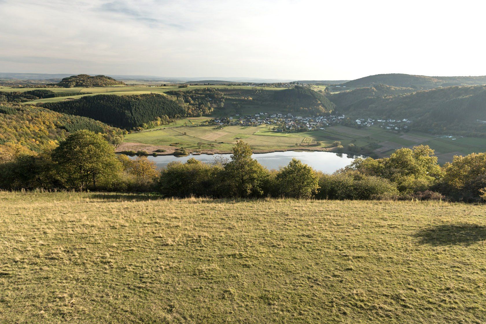
Meerfeld lies at your feet here. However, the maar can only be seen from the "Landesblick" viewing platform
1
0
Beautiful view over the Eifel heights
0
0
Frequently Asked Questions
What kind of terrain can I expect on hiking trails around Deudesfeld?
The hiking trails around Deudesfeld are characterized by the unique volcanic landscape of the Vulkaneifel region. You'll encounter a hilly topography, with paths winding through dense forests, along river valleys like the Salm Valley and the Kleine Kyll valley, and offering views of ancient maars (volcanic lakes). The terrain varies from gentle slopes to more challenging ascents, reflecting the area's volcanic origins.
Are there easy hiking options suitable for beginners or those looking for a relaxed walk?
Yes, Deudesfeld offers a good selection of easier trails. Out of over 40 routes in the area, 25 are classified as easy. For a gentle introduction to the region's beauty, consider the Speicherbach Stream Trail – Along the Speicherbach loop from Deudesfeld, which is about 5 km long and takes around 1 hour 25 minutes to complete.
What are some notable natural landmarks or viewpoints to look out for on the trails?
The region is rich in natural landmarks, especially volcanic maars and scenic viewpoints. You can enjoy panoramic views of the Meerfelder Maar from the Landesblick viewing tower, which is accessible via the HeimatSpur Lavaweg Deudesfeld. Other significant maars in the vicinity include the Schalkenmehrener Maar and the Gemündener Maar. The Dronke Tower on the Mäuseberg also offers excellent vistas.
Are there any circular hiking routes available in Deudesfeld?
Yes, Deudesfeld is an excellent base for circular hikes. Several well-marked 'HeimatSpuren' trails are circular, such as the HeimatSpur Lavaweg Deudesfeld (9.9 km) and the HeimatSpur Mühlenweg Deudesfeld (15.4 km). Another popular circular option is the View of the Meerfelder Maar – Meerfelder Maar loop from Deudesfeld, which covers about 10.7 km.
Can I bring my dog on the hiking trails around Deudesfeld?
Most hiking trails in the Vulkaneifel region, including those around Deudesfeld, are generally dog-friendly. It's always advisable to keep your dog on a leash, especially in nature reserves, near livestock, or in areas with wildlife. Remember to bring water for your pet and dispose of waste properly.
What historical sites or cultural attractions can I explore while hiking?
Beyond natural beauty, the region offers historical points of interest. The HeimatSpur Mühlenweg Deudesfeld, for instance, passes by the 18th-century Bleckhausen mill. Nearby, you can also find impressive medieval structures like Manderscheid Upper Castle and Manderscheid Lower Castle, which are often visible from various viewpoints.
Is there public transport available to reach the hiking trailheads in Deudesfeld?
While Deudesfeld is a smaller village, public transport options exist within the Vulkaneifel region, primarily bus services connecting to larger towns like Daun. It's recommended to check local bus schedules in advance, as services might be less frequent, especially on weekends. Many hikers prefer to arrive by car for more flexibility.
Where can I find parking near the hiking trails in Deudesfeld?
Parking is generally available at the main trailheads and in the village center of Deudesfeld. For specific routes like the HeimatSpuren trails, designated parking areas are often signposted. It's usually free, but always check local signage upon arrival.
What is the best time of year to go hiking in Deudesfeld?
The Vulkaneifel region is beautiful year-round, but the best time for hiking is typically from spring to autumn (April to October). During these months, the weather is generally mild, and the landscapes are vibrant with lush greenery or autumnal colors. Spring brings blooming wildflowers, while autumn offers stunning foliage. Winter hiking is possible, but some trails might be slippery or less accessible due to snow or ice.
What do other hikers enjoy most about the trails in Deudesfeld?
The hiking experience in Deudesfeld is highly rated by the komoot community, with an average score of 4.5 stars from over 1,200 reviews. Hikers frequently praise the diverse volcanic landscape, the well-maintained and clearly marked trails, and the peaceful atmosphere of the forests and valleys. The scenic views of the maars and the variety of routes catering to different fitness levels are also often highlighted.
Are there any longer, more challenging hikes for experienced trekkers?
Yes, for those seeking a greater challenge, there are more demanding routes. While most trails are easy to moderate, the region does offer some difficult options. An example is the Mühlenweg Along the Salm River – Himmerod Abbey Church loop from Meisburg, which is over 25 km long and features significant elevation changes, providing a full day's adventure through the scenic Salm Valley.
Are there family-friendly hiking trails in Deudesfeld?
Many of the easier and moderate trails around Deudesfeld are suitable for families, especially those with older children. The shorter circular routes, like the Speicherbach Stream Trail, are good options for a leisurely family outing. The varied landscape with maars and forests provides interesting natural features for children to explore. Always check the specific trail's length and elevation profile to ensure it matches your family's capabilities.
Most popular routes around Deudesfeld
Most popular attractions around Deudesfeld

Get inspired with the komoot mobile app


Explore more
Browse the best Hikes in other regions.
