The best running trails around West Pleasant View
4.7
(39)
4,698
runners
236
runs
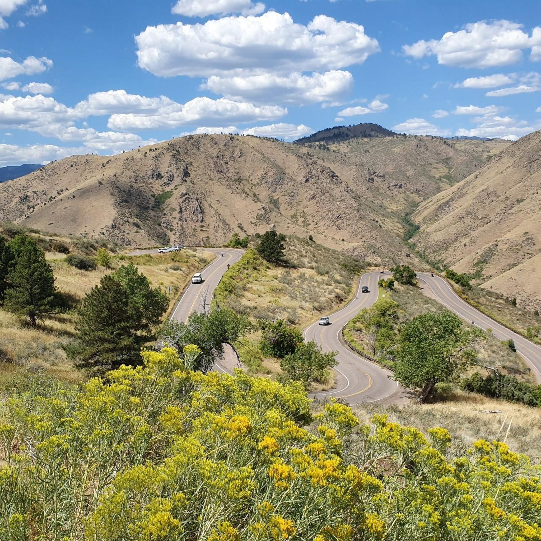
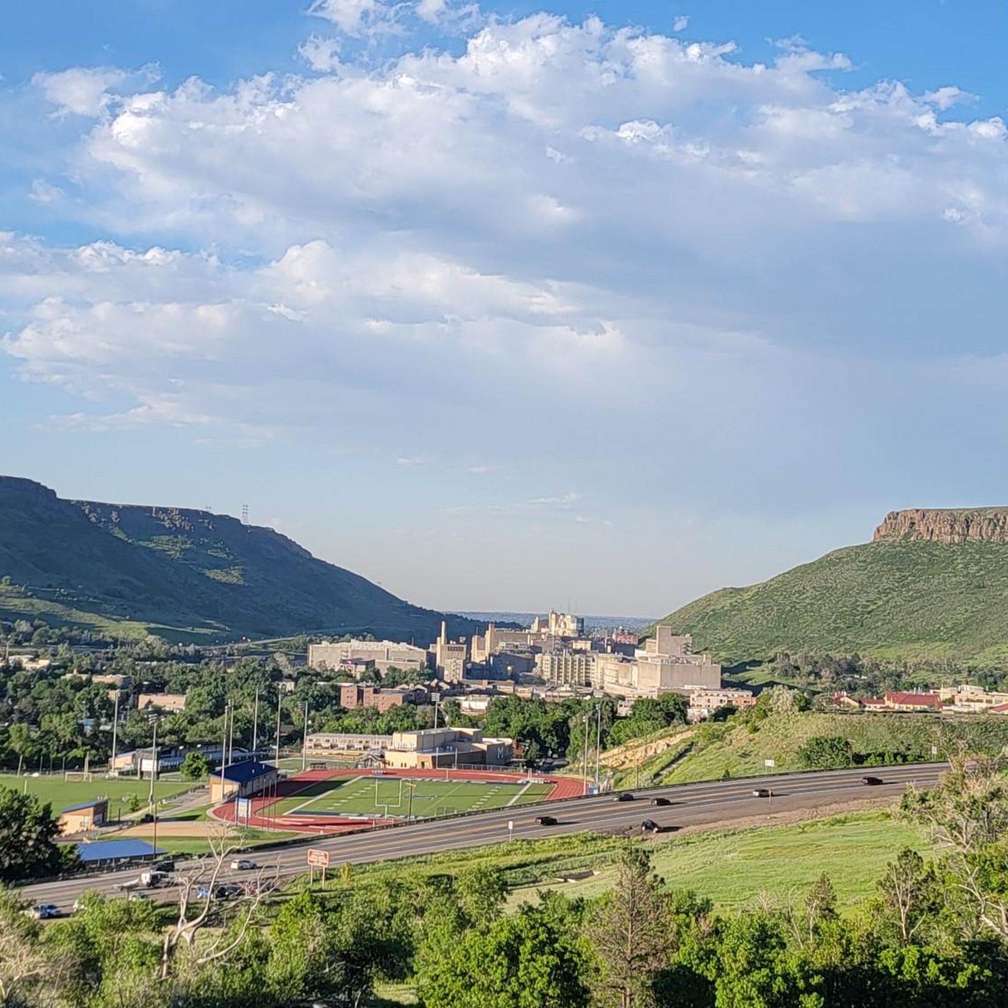
Jogging around West Pleasant View offers diverse routes across an area characterized by an average elevation of 5,869 feet, providing varied terrain for runners. The region features local parks, accessible open spaces, and scenic natural features, including rolling terrain and open views. Joggers can explore both groomed paths within community parks and more rugged natural surface trails in adjacent open spaces, often with expansive views of the Denver area and proximity to the foothills of the Rocky Mountains.
Best jogging…
Last updated: September 29, 2026
74
runners
13.3km
01:26
130m
130m
Moderate run. Good fitness required. Mostly paved surfaces. Suitable for all skill levels.
69
runners
11.8km
01:28
170m
170m
Moderate run. Good fitness required. Mostly paved surfaces. Suitable for all skill levels.

56
runners
7.16km
00:54
130m
130m
Moderate run. Good fitness required. Mostly paved surfaces. Suitable for all skill levels.
5.0
(1)
47
runners
9.36km
01:08
140m
140m
Moderate run. Good fitness required. Mostly paved surfaces. Suitable for all skill levels.
32
runners
8.38km
01:03
140m
140m
Moderate run. Good fitness required. Mostly paved surfaces. Suitable for all skill levels.
Get access to more routes and recommendations from other explorers.
Already have an account?
Our route recommendations are based on thousands of hikes, rides, and runs completed by other people on komoot.
Start today with a free account
Your next adventure awaits.



Tips from the Community

I think it's a beautiful hike here.
1
0
Really a beautiful bridge.
1
0

You can see William Frederick Hayden Park on the right, and Denver on the left from Carl's Point. A perfect spot to take a mid ride photo or simply take a break and enjoy the view.
0
0
You can see William Frederick Hayden Park on the right, and Denver on the left from Carl's Point. A perfect spot to take a mid ride photo or simply take a break and enjoy the view.
0
0
The view down to the river is spectacular from the bridge, with plenty of the river and surroundings to take it. Perfect spot for a mid ride photo.
0
0

Explore the shaded and paved loop section that runs alongside the creek. Observe tubers or take a quick dip, all while basking in Golden's natural beauty along Clear Creek.
0
0

The jog up to the top of this high point isn't particularly challenging, but it's a great spot to take in views of Lakewood and Denver to your east, and a big swath of protected natural land to your west. Watch out for mountain bikers on the trail.
0
0

New Clear Creek trail, not the one they show on Komoot. The one on Komoot is mostly gone. Avoid the detours; they're very large loose rocks. No bikes allowed on side trails. Wear good cushioned insoles; this is a beautiful trail but 100% concrete.
2
0
Frequently Asked Questions
How many running routes are available in West Pleasant View?
There are over 220 running routes around West Pleasant View, offering a wide variety of options for all skill levels. You'll find everything from easy paths to challenging trails with significant elevation gain.
Are there easy jogging routes suitable for beginners or a relaxed run?
Yes, West Pleasant View offers 23 easy jogging routes. These paths are generally less strenuous and can be found in local parks like Pleasant View Community Park at CGW, which features soft trails. For a straightforward run, Westblade Park has a 3/4-mile long sidewalk.
What kind of terrain can I expect on the running trails in West Pleasant View?
The terrain in West Pleasant View is quite varied, characterized by rolling hills and an average elevation of 5,869 feet. You'll encounter both groomed paths within community parks and more rugged natural surface trails in adjacent open spaces, often with expansive views of the Denver area and proximity to the foothills of the Rocky Mountains.
Are there any circular running routes in the area?
Yes, many of the routes in West Pleasant View are circular. For example, the moderate Carl's Point – Carl's Point loop from West Pleasant View is a 4.5-mile trail leading through open spaces, and the Serpentine Trail loop from West Pleasant View offers a moderate 4.1-mile option.
What are some challenging running trails for experienced runners?
For experienced runners seeking a challenge, West Pleasant View has 80 difficult routes. A notable option is the Carl's Point loop from West Pleasant View, a 9.9-mile trail with significant elevation gain. Another demanding route is the Golden Connector Trail – Green Mountain Peak loop from West Pleasant View, which is nearly 9.3 miles long.
What do other runners say about the trails in West Pleasant View?
The running routes in West Pleasant View are highly rated by the komoot community, with an average score of 4.7 stars from 33 reviews. Runners often praise the diverse terrain, the expansive views of the Denver area, and the variety of options available for different fitness levels.
Are there any scenic viewpoints or landmarks along the running paths?
Absolutely. Many routes offer open views of the surrounding landscape and the Denver area. You can find viewpoints like the View of Denver skyline from Sloan's Lake west shore or the View of Denver Skyline from Mt. Carbon Overlook. Additionally, you might encounter natural features like Tucker Gulch or even pass by Green Mountain Peak.
Can I access larger trail networks from West Pleasant View?
Yes, West Pleasant View's location provides excellent access to a broader network of trails. To the west, it borders Golden, which is known for its extensive trail network, including the paved Clear Creek Trail. You can also easily reach Jefferson County Open Space areas like South Table Mountain Park, Apex Park, and North Table Mountain Park, offering even more diverse terrain.
Are there any lakes or water features near the running routes?
Yes, there are several lakes in the vicinity that can be enjoyed before or after your run. Notable options include Bear Creek Lake and Big Soda Lake, which are popular spots in the area.
What is the average elevation for running in West Pleasant View?
West Pleasant View is situated at an average elevation of 5,869 feet. This higher altitude contributes to the varied terrain and offers a unique running experience, especially for those accustomed to lower elevations.
How long does it typically take to complete a moderate running route?
Moderate running routes vary in length and duration. For instance, the Serpentine Trail – Carl's Point loop from West Pleasant View is an 8.0-mile path that typically takes around 1 hour 36 minutes to complete, offering a balanced running experience with scenic vistas.
Most popular routes around West Pleasant View
Most popular attractions around West Pleasant View

Get inspired with the komoot mobile app


Explore more
Browse the best Running Trails & Routes in other regions.
