The best walks and hikes around Ziestsee
4.5
(3706)
14,131
hikers
739
hikes
Hiking trails around Ziestsee are situated in the Dahme-Seenland region of Brandenburg, characterized by its flat, water-rich landscape shaped by glacial origins. The area features extensive pine forests and the Ziestsee itself, which is largely encircled by dense reed belts. This environment provides a tranquil setting for outdoor activities, with minimal elevation changes across its diverse terrain.
Best hiking trails around Ziestsee
- The most popular hiking route is Bathing Area at Ziestsee loop from Gussow, a 3.6 miles (5.8…
Last updated: May 14, 2026
5.0
(1)
2
hikers
Moderate hike. Good fitness required. Easily-accessible paths. Suitable for all skill levels.
5.0
(1)
2
hikers
13.2km
03:19
20m
20m
Moderate hike. Good fitness required. Easily-accessible paths. Suitable for all skill levels.

Sign up for free
1
hikers
6.27km
01:35
10m
10m
Easy hike. Great for any fitness level. Easily-accessible paths. Suitable for all skill levels.
4.4
(38)
72
hikers
5.49km
01:23
10m
10m
Easy hike. Great for any fitness level. Easily-accessible paths. Suitable for all skill levels.
4.7
(3)
10
hikers
16.4km
04:09
30m
30m
Moderate hike. Good fitness required. Easily-accessible paths. Suitable for all skill levels.
Get access to more routes and recommendations from other explorers.
Sign up for free
Already have an account?
Our route recommendations are based on thousands of hikes, rides, and runs completed by other people on komoot.
Start today with a free account
Your next adventure awaits.
Login or Signup
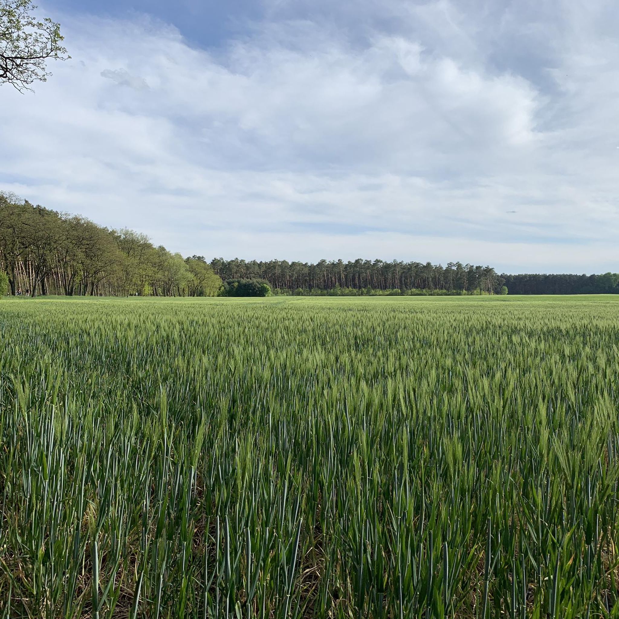
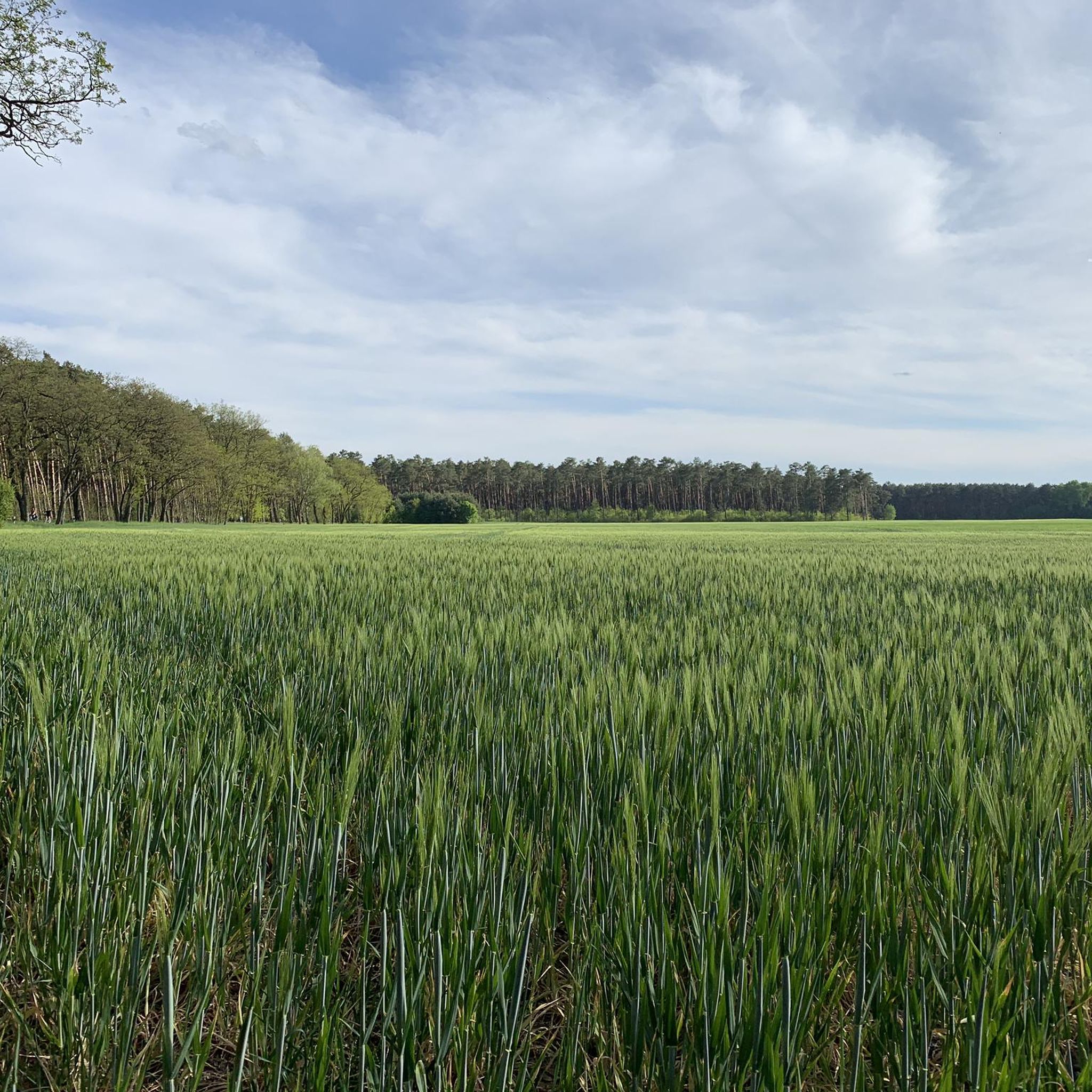
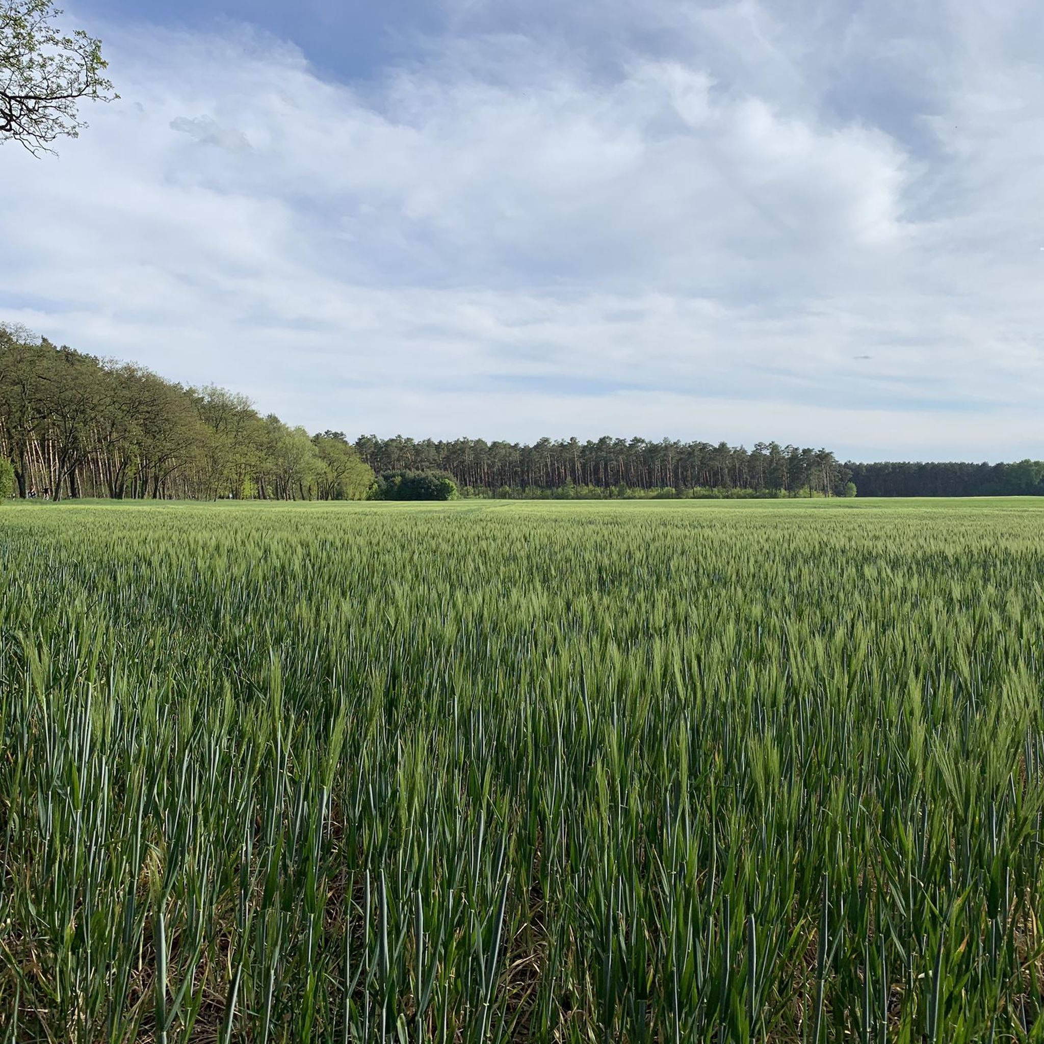
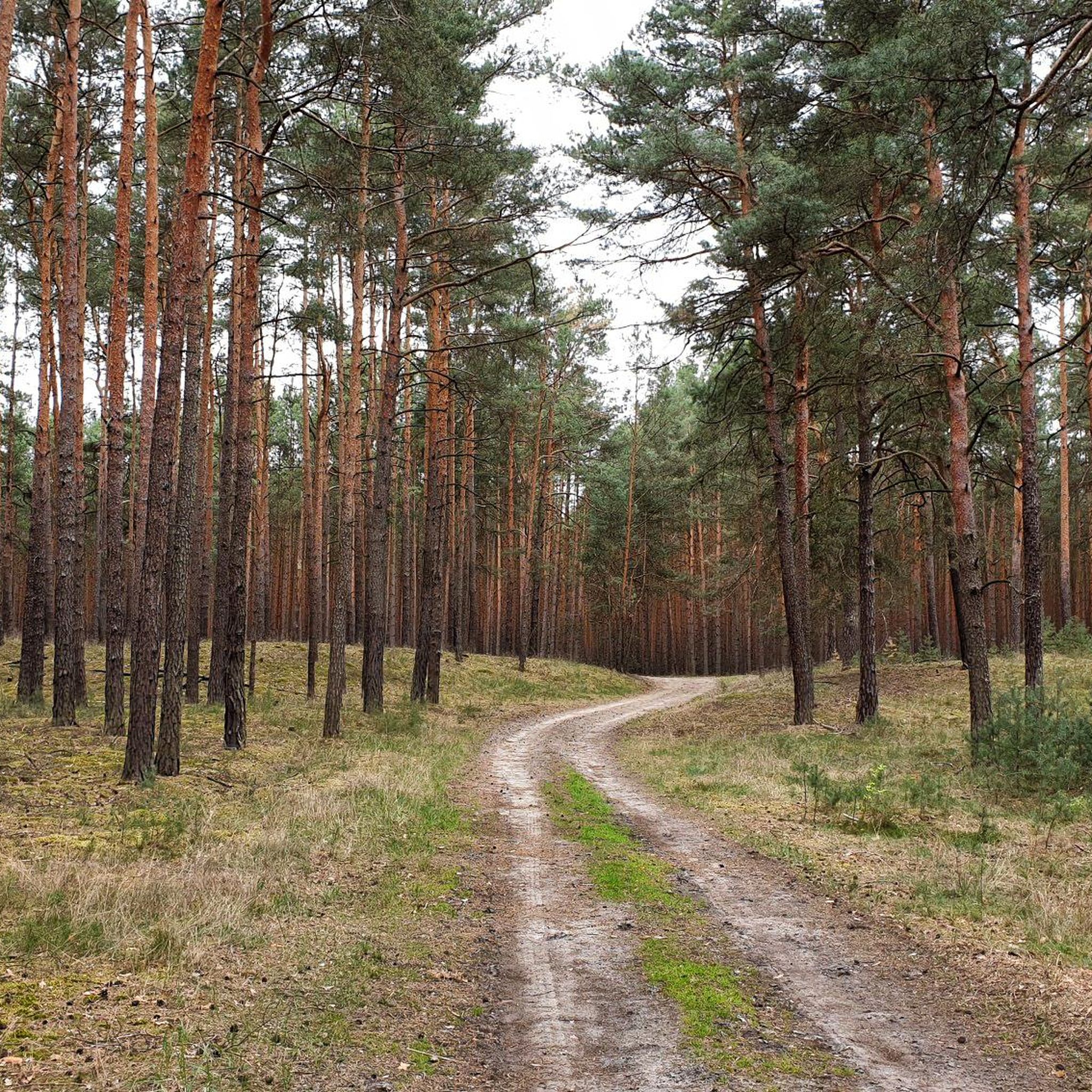

Tips from the Community


Dolgener See (Dolgen am See) is a lake in Mecklenburg-Western Pomerania near Dolgen am See. The water is heavily fished and is rated as a top water by our members. Water type: Lake Target fish: Pike, perch, carp, bream, tench and 2 other fish species
0
0
When Theodor Fontane anchored his sailing ship "Sphinx" on the Dolgensee on a summer day in the second half of the 19th century during a trip on the Dahme, he raved in romantic words about the "simple people" he observed working in the fields in Dolgenbrodt. He summed up his impressions by saying that the magic of these isolated villages lies in the "eternal integration of man into the household of nature". The wooded location in the 6.9 km2 triangle between the Langer See as part of the Storkow chain of lakes and the Dolgensee (nature reserve) combines for residents and guests to create the unique scenic beauty of the place, which is connected by water via the Storkow Canal to the Scharmützelsee and via the Dahme to Berlin. At the bathing area on the Langer See, bathers of all ages have a wide range of opportunities for sports, games and recreation.
0
0
Dolgenbrodt (Lower Sorbian: Dołgi Brod[2]) is a district of the municipality Heidesee in the federal state of Brandenburg, southeast of Berlin in the district of Dahme-Spreewald.
0
0

Since 2009, where ferrymen once offered their services, residents and tourists have been able to cross the river on foot or by bike using the pylon cable-stayed bridge. With a length of over 200 meters (span across the Dahme: 45 meters), a 21-meter-high pylon and a width of 2.60 meters, it is one of the largest German cycle and pedestrian bridges. It was only thanks to it that the Dahme cycle path could be realized.
12
0
The long and somewhat winding lake on the edge of the Oderbruch offers several bathing spots around the lake. There are numerous lawns and clearings on the shore that offer places to lie down and direct access to the water. A five-kilometer-long footpath leads around the lake.
15
0
The wooded location in the 6.9 square meter triangle between the Langer See as part of the Storkow chain of lakes and the Dolgensee adds up to the unique scenic beauty of the place for residents and guests, which is connected by water via the Storkow Canal to the Scharmützelsee and via the Dahme to Berlin. At the bathing area on the Langer See, bathers have a wide range of opportunities for sports, games and relaxation. Where ferrymen once offered their services, since 2009 residents and tourists have been able to cross the river on foot or by bike over the pylon cable-stayed bridge.
14
0
Simple rest area in the town centre with an artistic wooden coat of arms.
12
0
Frequently Asked Questions
How many hiking trails are there around Ziestsee?
The Ziestsee area offers a wide variety of hiking options, with over 700 recorded routes. These include more than 400 easy trails, around 300 moderate paths, and a selection of over 20 more challenging routes, catering to all fitness levels.
Are there easy hiking trails suitable for beginners or families?
Yes, Ziestsee is ideal for easy hikes and family outings. Many routes feature minimal elevation gain and are suitable for all ages. A popular choice is the Bathing Area at Ziestsee loop from Gussow, an easy 5.8 km trail that offers pleasant views of the lake. Another gentle option is the Fontane Hiking Trail – Forest Path loop from Heidesee, which is 6.3 km and leads through tranquil pine forests.
What kind of landscapes can I expect to see while hiking around Ziestsee?
Hiking around Ziestsee offers a diverse natural experience. You'll primarily encounter extensive pine forests, providing a distinctive and aromatic atmosphere. The trails often feature picturesque views of Ziestsee itself, which is largely encircled by dense reed belts. This water-rich landscape, shaped by glacial origins, is home to a variety of bird species and other wildlife.
Are there any specific attractions or points of interest along the trails?
Beyond the natural beauty of the lake and forests, Ziestsee offers a natural bathing area on its northwestern shore. This area provides spacious meadows for sunbathing, volleyball and soccer fields, picnic spots, and a playground, making it a great spot to relax after a hike. For more information on the playground, you can visit Brandenburg Tourism.
Can I bring my dog on the hiking trails around Ziestsee?
Generally, dogs are welcome on the hiking trails around Ziestsee. The extensive pine forests and lake views provide a great environment for walks with your canine companion. However, it's always advisable to keep dogs on a leash, especially near wildlife habitats like the reed belts, and to respect local regulations regarding protected areas.
What is the best time of year to go hiking in Ziestsee?
Ziestsee offers pleasant hiking experiences throughout much of the year. Spring and autumn provide comfortable temperatures and beautiful scenery, with changing foliage in fall. Summer is also popular, especially if you plan to combine your hike with a visit to the natural bathing area. Even in winter, the flat terrain and pine forests can offer serene, crisp walks, though some facilities might be limited.
Are there options for longer or more challenging hikes?
While many trails are easy, Ziestsee is part of the larger Dahme-Seenland network, which offers options for longer and more challenging routes. For instance, the View of Dolgensee – Dolgenbrodt Village loop from Dolgensee is a moderate 16.4 km hike. Another moderate option is the Feuerwache Dolgenbrodt – View of Dolgensee loop from Gussow, which covers 10.6 km and takes you through a broader section of the region.
How can I get to the Ziestsee hiking trails using public transport?
Ziestsee is located approximately 30 km southeast of Berlin. While specific public transport connections directly to trailheads can vary, the region is generally accessible. You would typically take a train from Berlin to a nearby town in the Dahme-Seenland region, such as Königs Wusterhausen, and then potentially use a local bus service or cycle to reach the lake area. It's recommended to check current schedules for trains and buses to plan your journey.
Where can I park my car when visiting Ziestsee for a hike?
Parking is generally available at key access points around Ziestsee, particularly near the natural bathing area on the northwestern shore. There are often designated parking lots for visitors, making it convenient to start your hike. Look for signs indicating public parking as you approach the lake.
Are there any facilities like cafes or restaurants near the hiking trails?
While Ziestsee is known for its tranquil natural environment, the natural bathing area on the northwestern shore often has facilities available, especially during warmer months. These might include kiosks or small eateries. For more substantial dining options, you would likely need to venture into nearby villages or towns within the Heidesee municipality or the broader Dahme-Seenland region.
What makes Ziestsee a unique hiking destination?
Ziestsee stands out due to its serene, unspoiled nature and excellent water quality. The lake is fed by an underwater spring and prohibits motorized boats, ensuring a peaceful environment. Its glacial origins have created a flat, water-rich landscape with extensive pine forests and dense reed belts, offering a unique blend of forest and lake views that are easily accessible for all hikers.
What do other hikers say about the trails around Ziestsee?
The trails around Ziestsee are highly rated by the komoot community, with an average score of 4.5 stars from over 3,300 reviews. Hikers often praise the quiet woodlands, the picturesque lake views, and the well-maintained, easy-to-navigate paths. The area is appreciated for its tranquility and the opportunity to observe diverse birdlife.
How long do hikes typically take around Ziestsee?
Hikes around Ziestsee vary in length and duration. Many popular routes, like the 5.8 km Bathing Area at Ziestsee loop from Gussow, can be completed in about 1.5 to 2 hours. Longer, moderate trails, such as the 10.6 km Feuerwache Dolgenbrodt – View of Dolgensee loop from Gussow, might take around 2.5 to 3 hours, depending on your pace and stops.
Most popular routes around Ziestsee

Get inspired with the komoot mobile app


Explore more
Browse the best Hikes in other regions.
