The best cycling routes around Dettingen an der Iller
4.5
(1608)
8,520
riders
22
rides
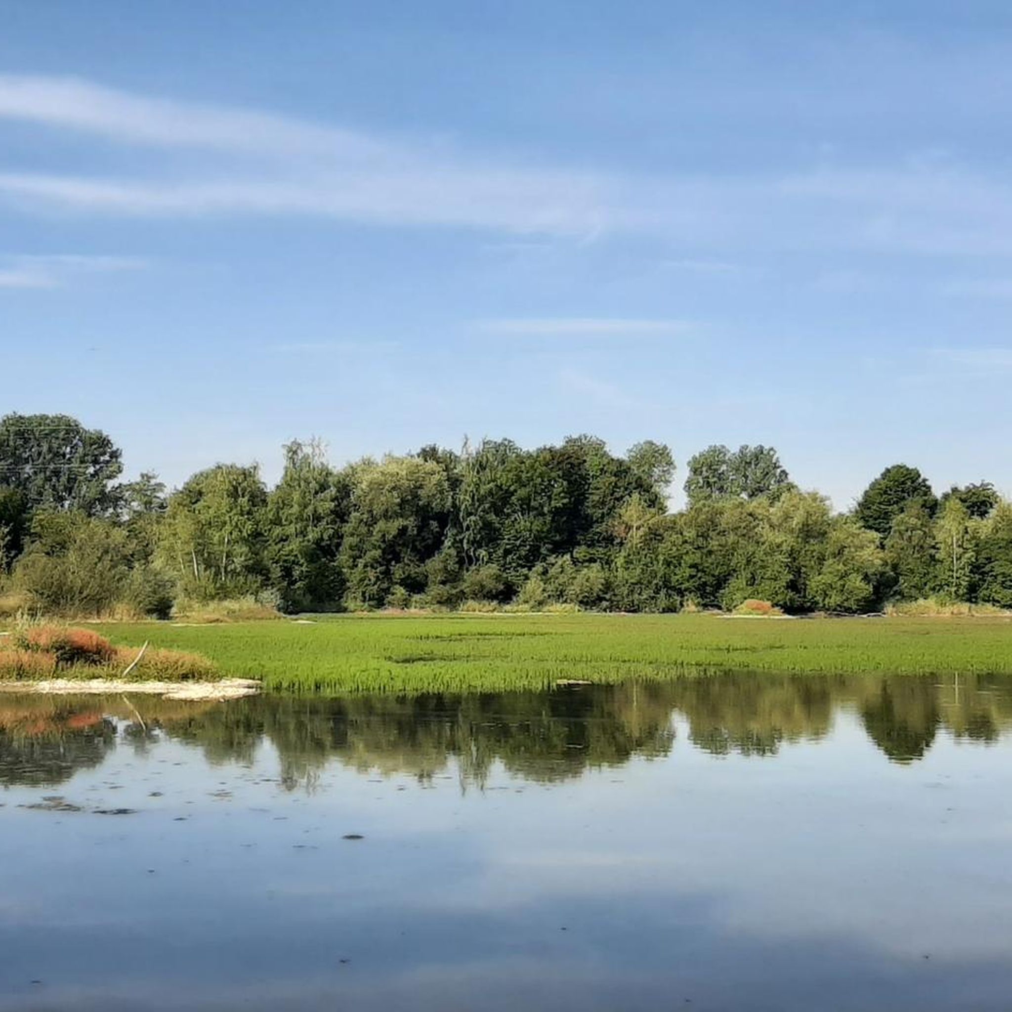
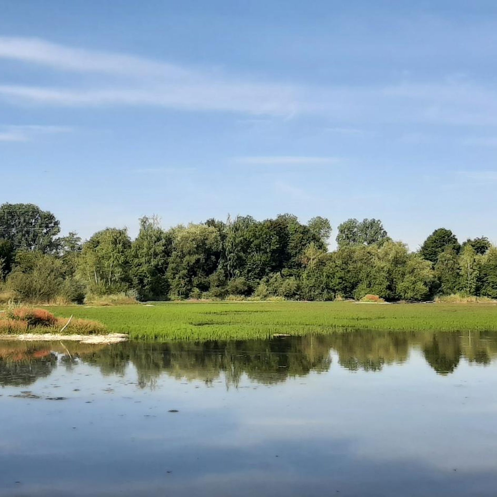
Touring cycling around Dettingen an der Iller is characterized by its location along the Iller river, featuring broad riverine floodplains and green forests. The landscape includes rolling hills and extends into the wooded Tertiary hill country to the west. This region offers varied terrain suitable for different cycling experiences, from riverside paths to routes through agricultural areas.
Best touring cycling routes around Dettingen an der Iller
- The most popular touring cycling route is Bonlanden Monastery – Mother Earth Monastery Garden…
Last updated: October 7, 2026
4.7
(18)
73
riders
Easy bike ride. Great for any fitness level. Mostly paved surfaces. Suitable for all skill levels.
5.0
(2)
38
riders
Easy bike ride. Great for any fitness level. Mostly paved surfaces. Suitable for all skill levels.

5.0
(1)
39
riders
Easy bike ride. Great for any fitness level. Mostly paved surfaces. Suitable for all skill levels.
4.3
(4)
42
riders
Easy bike ride. Great for any fitness level. Mostly paved surfaces. Suitable for all skill levels.
5.0
(4)
25
riders
Moderate bike ride. Good fitness required. Mostly paved surfaces. Suitable for all skill levels.
Get access to more routes and recommendations from other explorers.
Already have an account?
Our route recommendations are based on thousands of hikes, rides, and runs completed by other people on komoot.
Start today with a free account
Your next adventure awaits.

Tips from the Community

Here you can have a good and cozy stop and always meet cyclists with pleasure.
0
0

It is very beautiful here.
0
0

I live in Kempten and have long had the Illerradweg on my list, it is simply boring and leads through the forest most of the time. What difference does it make that the Iller flows there. None.
0
0
I live in Kempten and have long had the Iller cycle path on my list to tick off, it's simply boring and leads through the forest most of the time. What difference does it make that the Iller flows there. None.
0
0
I live in Kempten and have long had the Iller cycle path on my list, it is simply boring and leads through the forest most of the time. What difference does it make that the Iller flows there. None. The sections over the canal and the Iller can be a bit confusing.
0
0

Cycle path on and above the Iller
1
0
Frequently Asked Questions
How many touring cycling routes are available around Dettingen an der Iller?
There are over 20 touring cycling routes around Dettingen an der Iller, offering a variety of experiences. The majority of these, 18 routes, are classified as easy, with 2 routes being moderate. This makes the area accessible for various skill levels.
What kind of terrain can I expect on touring cycling routes in Dettingen an der Iller?
The terrain around Dettingen an der Iller is characterized by its location along the Iller river, featuring broad riverine floodplains, green forests, and rolling hills. You'll find routes along the Iller Canal and reservoirs, as well as paths extending into the wooded Tertiary hill country to the west. This offers a mix of flat riverside paths and gently rolling landscapes.
Are there any family-friendly touring cycling routes in the area?
Yes, many routes are suitable for families due to their easy difficulty. For example, the Illerkanal – Dettingen/Iller Reservoir loop from Dettingen an der Iller is an easy 6.0-mile (9.6 km) path offering pleasant views. The region's generally gentle terrain along the Iller river and through fields makes it ideal for family outings.
What are some notable landmarks or attractions I can visit along the cycling routes?
Cycling routes in the area often pass by interesting sights. You can explore the beautiful monastery garden at Bonlanden Monastery. The Illerkanal – Dettingen/Iller Reservoir loop offers views of the Iller Canal and the reservoir. Additionally, the region features several lakes like Ziegelweiher Natural Bathing Lake and historical sites such as Erolzheim Castle, which can be explored as nearby attractions.
Are there any circular touring cycling routes available?
Yes, several routes are designed as loops, allowing you to start and end in the same location. Popular circular routes include the Bonlanden Monastery – Mother Earth Monastery Garden loop from Dettingen an der Iller, the Illerkanal – Dettingen/Iller Reservoir loop from Dettingen an der Iller, and the Dettingen Reservoir – Dettingen/Iller Reservoir loop from Dettingen an der Iller.
What is the best time of year for touring cycling in Dettingen an der Iller?
The climate in Dettingen an der Iller, with warm summers and cold winters, is generally suitable for outdoor activities year-round. Spring offers vibrant green meadows and fields, while autumn provides colorful foliage, making both seasons particularly scenic for cycling. Summers are warm and pleasant for longer rides.
What do other touring cyclists enjoy most about cycling in Dettingen an der Iller?
The area is highly rated by the komoot community, with an average score of 4.6 stars from over 1,400 reviews. Cyclists often praise the varied terrain, from riverside paths to routes through green forests and rolling hills, and the well-maintained paths that make for enjoyable rides.
Are there any longer touring cycling routes for more experienced riders?
While most routes are easy, there are options for longer rides. The Bonlanden Monastery – Mother Earth Monastery Garden loop from Dettingen an der Iller is nearly 19 miles (30.5 km) long. For those seeking even longer adventures, the region is close to the extensive Iller Cycle Path and the 220 km Swabian Potato Route, offering opportunities for multi-day tours.
Can I find routes that are suitable for beginners?
Absolutely. The majority of touring cycling routes in Dettingen an der Iller are classified as easy, making them perfect for beginners or those looking for a relaxed ride. Routes like the Illerkanal – Dettingen/Iller Reservoir loop from Dettingen an der Iller are short and have minimal elevation gain, providing a gentle introduction to cycling in the region.
Are there any routes that offer views of the Iller river?
Yes, the Iller river is a central feature of the region, and many routes run along its banks or the Iller Canal. The Illerkanal – Dettingen/Iller Reservoir loop from Dettingen an der Iller specifically offers views of the Iller Canal and the reservoir, allowing you to enjoy the charming river landscape.
What are the options for public transport with a bike in Dettingen an der Iller?
While specific details on bike transport on local public transport are not provided, Dettingen an der Iller is well-connected within the Baden-Württemberg region. It's advisable to check with local bus or train operators for their policies regarding bicycle carriage, especially for longer journeys or during peak times.
Are there any moderate difficulty routes for touring cyclists?
Yes, for those looking for a bit more challenge, there are moderate routes available. The Iller Canal Near Kellmünz – Old Railway Track loop from Dettingen an der Iller is a moderate 15.6-mile (25.2 km) route with a bit more elevation gain, offering a more engaging ride.
Most popular routes around Dettingen an der Iller
Most popular attractions around Dettingen an der Iller

Get inspired with the komoot mobile app


Explore more
Browse the best Cycling routes in other regions.
