The best running trails around Leadville North
515
runners
93
runs
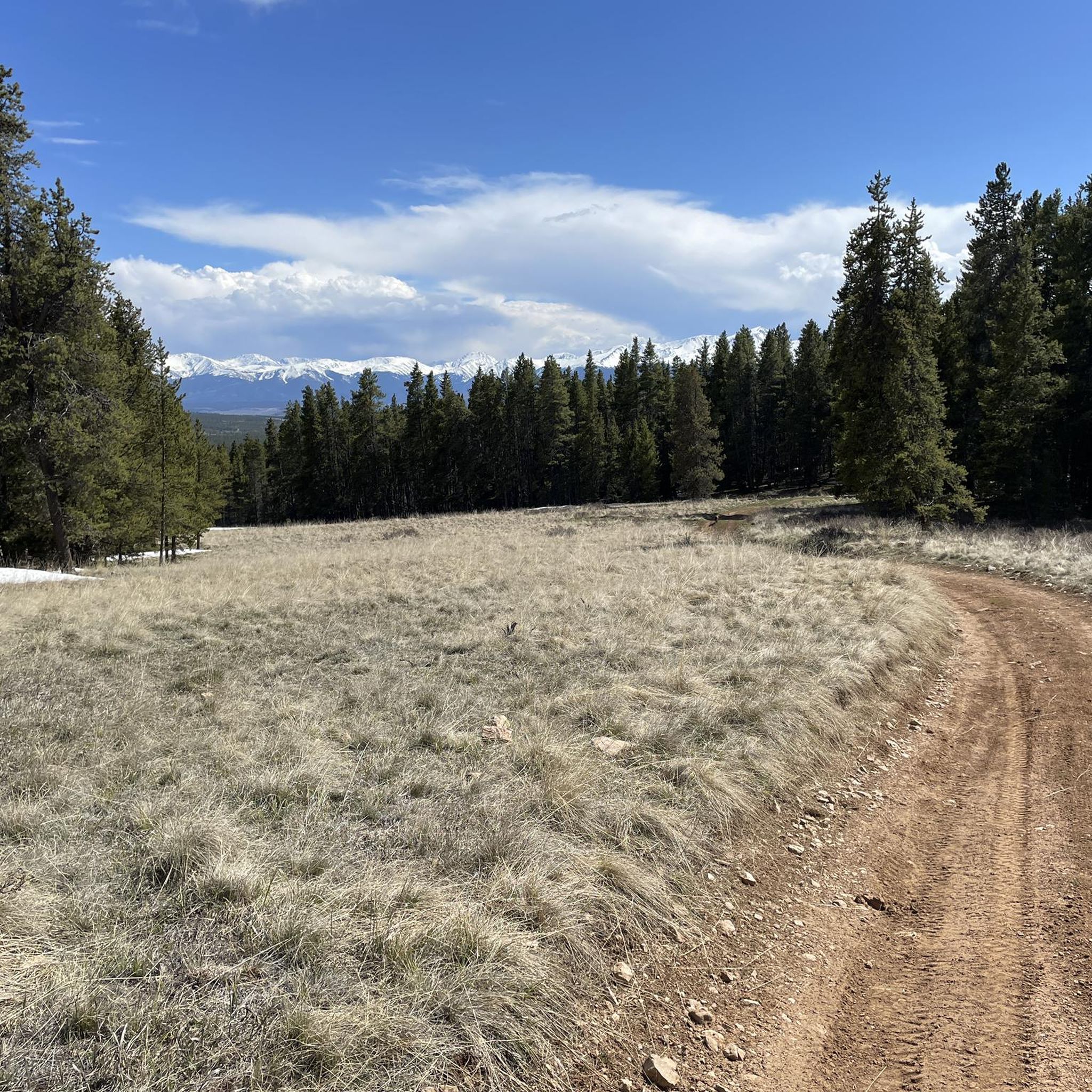
Jogging around Leadville North offers a unique high-altitude experience, situated at over 10,000 feet amidst the Sawatch Range. The region is characterized by majestic mountains like Mount Elbert and Mount Massive, alpine lakes such as Turquoise Lake and Twin Lakes, and extensive forests. This environment provides a challenging yet rewarding setting for runners, with diverse trails winding through natural landscapes and historic mining districts.
Best jogging routes around Leadville North
- The most popular jogging route is Mosquito Pass and Birdseye…
Last updated: May 28, 2026
66
runners
37.7km
04:59
1,530m
1,530m
Prepare for a truly challenging jogging experience on the Mosquito Pass and Birdseye Gulch Loop, a difficult route spanning 23.5 miles (37.7 km) with an impressive 5023 feet (1531 metres)…
27
runners
22.1km
02:49
690m
690m
Prepare for a challenging jogging experience on the Lakes overlook via Mosquito Pass Road, a difficult 13.7-mile (22.1 km) route that climbs 2261 feet (689 metres). You can expect to…

Sign up for free
22
runners
19.1km
02:01
250m
260m
Get ready for a challenging jogging experience on the Mineral Belt Trail, a difficult 11.9 miles (19.1 km) route that climbs 837 feet (255 metres) and takes about 2 hours…
7
runners
6.78km
00:44
120m
120m
Embark on a moderate jogging route along the Mineral Belt Trail, a 4.2 miles (6.8 km) journey that takes approximately 43 minutes to complete. As you move, you will gain…
7
runners
6.84km
00:51
80m
80m
The Boulevard offers a moderate jogging experience across 4.2 miles (6.8 km) with a total elevation gain of 249 feet (76 metres), typically completed in about 50 minutes. You will…
Get access to more routes and recommendations from other explorers.
Sign up for free
Already have an account?
Our route recommendations are based on thousands of hikes, rides, and runs completed by other people on komoot.
Start today with a free account
Your next adventure awaits.
Login or Signup

Other adventures around Leadville North

Tips from the Community

The paved Mineral Belt Trail crosses over the wide dirt road of Country Route 1. Both offer great views of the diverse system on mines east of Leadville, including Hayden Mine (north) Surprise Shaft (west), and Mikado Mine (east). As you explore the hills this side of town you will encounter the ruins of dozens upon dozens of mines.
0
0
There is an old steam engine on display next to the current active railroad. You can book 2 hour scenic train tours from $77.50 on the Leadville Railroad website here: https://leadvillerailroad.com/train-rides.
0
0

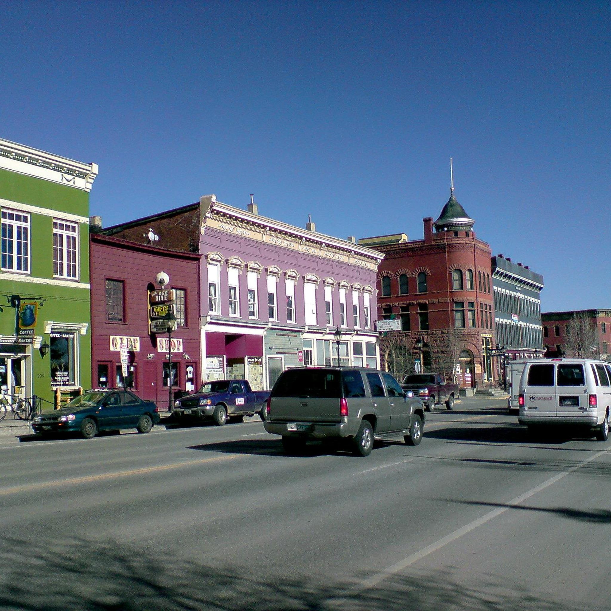
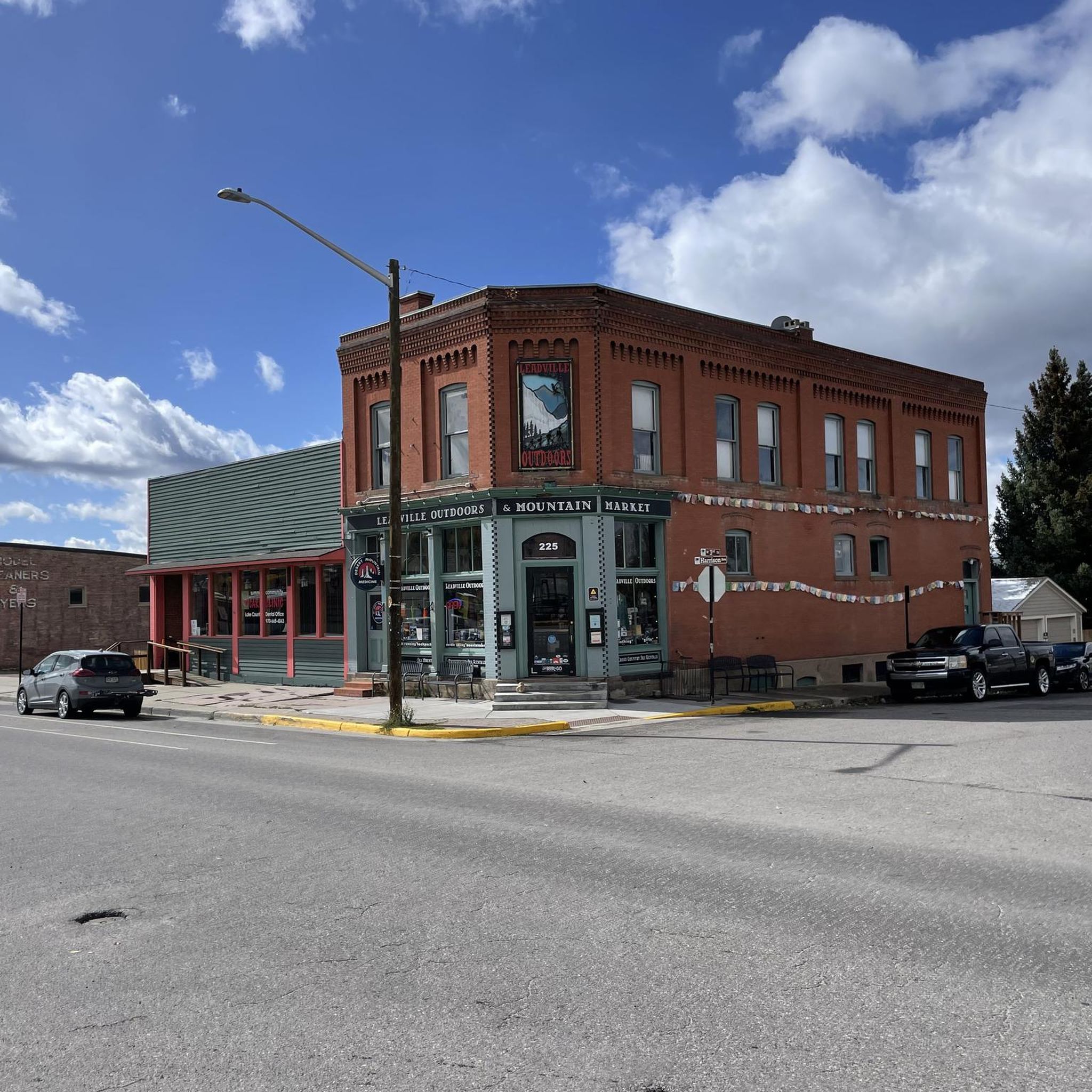
Leadville, Colorado is the highest town in the US at 10,152 feet above sea-level. This small former mining town has recently begun to transform into a recreational hub in large part due to the Leadville 100, a 100-mile ultramarathon, and its proximity to the two tallest mountains in the state: Mount Elbert and Mount Massive. Harrison Ave is the main street of Leadville. Nestled in the colorful, historic buildings that reflect its rich history as one of the most prosperous silver mining town in the state are coffee shops, boutiques, gear stores, antique and thrift stores, and the famous Melenzana Store, where (by appointment only) you can purchase some of Colorado's most iconic fleeces.
0
0
The Silver Cord Mine is a notable piece of Leadville's history. The Silver Cord Mining Company is responsible for the concrete arch on the way up California Gulch, as well as the Yak Tunnel (previously called the Blow Tunnel after the mine's manager) just south of Iron Hill.
0
0
This historic mine ruin is notable for its well-preserved and picturesque ore house which stands as a testament to Leadville's mining history.
0
0

The Boulevard is one of the most popular dirt roads for running in town. It is part of the start and finish of the Leadville 100 course, and even though it's uphill or downhill the whole time, it isn't very steep. This is a good, smooth dirt road to run.
0
0
This basin is host to a load of different old mining structures. The area is rich in mining history, which is why there are so many great trails and roads around for running (they were all old mining roads and routes). You can make a variety of different loops and out-and-backs on these roads.
0
0
The Mineral Belt Trail is an 11.7 mile paved path around the mining town of Leadville. Bikers, runners, walkers, dogs, and rollerbladers are welcome to use the trail in the dry months, and the loop is groomed during the winter for cross country skiing, fat biking, and snowshoeing. Starting here at the base of Dutch Henry Hill is the lowest point on the MBT and is a good starting point (even for out and backs) because you can finish downhill.
0
0
Frequently Asked Questions
How many running routes are available in Leadville North?
Leadville North offers a wide variety of running routes, with nearly 90 options available on komoot. These range from easy paths to challenging high-altitude trails, catering to all fitness levels.
Are there any easy or beginner-friendly jogging routes in Leadville North?
Yes, Leadville North has several accessible options for beginners. The Mineral Belt Trail offers a moderate 6.7 km section that is mostly paved and suitable for all skill levels. Another good option is The Boulevard, a moderate 6.8 km route with less elevation gain.
What are the best routes for experienced runners seeking a challenge?
For experienced runners looking for a significant challenge, Leadville North delivers. The Mosquito Pass and Birdseye Gulch Loop is a difficult 37.7 km trail with over 1,500 meters of elevation gain. Another demanding option is Lakes overlook via Mosquito Pass Road, a difficult 22.1 km path with considerable elevation changes and expansive alpine views.
Are there any family-friendly running trails in the Leadville North area?
Yes, the Mineral Belt Trail is an excellent choice for families. This multi-use paved loop offers sections that are relatively flat and easy, winding through historic sites and providing scenic views suitable for all ages. Its accessibility makes it ideal for a family outing.
Can I bring my dog on the jogging routes in Leadville North?
Many trails in Leadville North are dog-friendly, but it's always best to check specific trail regulations before heading out. The Mineral Belt Trail is generally welcoming to leashed dogs, offering a great opportunity to enjoy the high-altitude scenery with your canine companion.
What kind of natural landscapes and viewpoints can I expect while running in Leadville North?
Running in Leadville North offers stunning natural beauty. You'll experience a high-altitude environment with majestic views of Colorado's highest 'fourteeners' like Mount Elbert and Mount Massive. Trails often wind through alpine forests and past beautiful lakes such as Turquoise Lake and Bear Lake, providing breathtaking backdrops for your run.
Are there any historical landmarks or attractions along the running routes?
Absolutely! Leadville North's rich mining history means many routes pass by remnants of 19th-century operations. The Mineral Belt Trail, for instance, winds through historic mining sites, offering glimpses of the past, including views of the Matchless Mine.
What is the best time of year to go jogging in Leadville North?
Leadville North is a recreation Mecca year-round. Summer offers beautiful wildflowers and pleasant temperatures for high-altitude running. Fall is spectacular with brilliant foliage. While winter brings snow, the area also boasts an impressive network of free groomed trails accessible for various activities, including running, making it enjoyable in all seasons.
Are there any loop or circular running routes available?
Yes, circular routes are popular in Leadville North. The Mineral Belt Trail is an 11.9-mile (19.1 km) multi-use paved loop that encircles Leadville, offering a complete circuit with diverse scenery. For a more challenging loop, consider the difficult Mosquito Pass and Birdseye Gulch Loop.
What makes jogging in Leadville North unique compared to other regions?
Leadville North offers a truly unique experience due to its extreme high-altitude environment, situated at over 10,000 feet. This provides a challenging yet rewarding experience, testing endurance amidst unparalleled views of Colorado's highest peaks, alpine lakes, and a rich historical mining landscape.
Are there running routes that connect to other trail networks?
Yes, the Mineral Belt Trail is a central hub that connects to other path networks, including those on the Colorado Mountain College (CMC) campus and the Timberline Trail System. This allows runners to extend their routes and explore a wider variety of terrain.
What do other runners enjoy most about jogging in Leadville North?
Runners frequently praise the stunning high-altitude scenery, the challenging yet rewarding terrain, and the unique blend of natural beauty with historical mining sites. The diversity of trails, from paved loops to rugged mountain paths, is also highly appreciated, offering something for every skill level.
Most popular routes around Leadville North
Most popular attractions around Leadville North

Get inspired with the komoot mobile app


Explore more
Browse the best Running Trails & Routes in other regions.
