The best road cycling routes around Keystone
4.8
(21)
1,954
riders
37
rides
Road cycling routes around Keystone offer diverse terrain set within the Rocky Mountains, featuring extensive paved paths and challenging mountain ascents. The region is characterized by high-altitude scenery, including the Continental Divide, and features natural landmarks like Lake Dillon and the Snake River. Cyclists can find routes that traverse river valleys, circle scenic reservoirs, and climb to significant elevations.
Best road cycling routes around Keystone
- The most popular road cycling route is View of Dillon Reservoir – Dillon Reservoir Rec Path 🚴♂️ loop from Summit Cove, a 43.4 miles (69.8 km) trail that takes 3 hours 37 minutes to complete. This moderate route offers extensive views of Lake Dillon and the surrounding mountain landscape.
- Another top favourite among local road cyclists is River Run – Dillon Nature Preserve loop from Summit Cove, a difficult 33.5 miles (54.0 km) path. This route features significant elevation gain, traversing varied terrain including the Dillon Nature Preserve.
- Local road cyclists also love the Dillon Nature Preserve – Snake River Trail loop from Dillon-Keystone Trail, a 20.8 miles (33.4 km) trail leading through the Dillon Nature Preserve and alongside the Snake River, often completed in about 1 hour 50 minutes.
- Road cycling around Keystone is defined by high-altitude mountain passes, scenic lake loops, and river valley paths. The network offers options for various ability levels, from easy paved trails to difficult climbs.
- The routes in Keystone are highly rated by the komoot community with an average score of 4.4 stars from over 10 reviews. More than 1,700 road cyclists have used komoot to explore Keystone's varied terrain.
Last updated: October 1, 2026
5.0
(2)
198
riders
54.8km
02:48
560m
560m
Moderate road ride. Good fitness required. Some segments of this route may be unpaved and difficult to ride.
5.0
(1)
152
riders
58.9km
02:57
470m
470m
Moderate road ride. Good fitness required. Some segments of this route may be unpaved and difficult to ride.

5.0
(1)
54
riders
Easy road ride. Great for any fitness level. Mostly well-paved surfaces and easy to ride.
47
riders
Moderate road ride. Good fitness required. Mostly well-paved surfaces and easy to ride.
26
riders
70.4km
04:01
1,620m
1,620m
Hard road ride. Very good fitness required. Mostly well-paved surfaces and easy to ride.
Get access to more routes and recommendations from other explorers.
Already have an account?
Our route recommendations are based on thousands of hikes, rides, and runs completed by other people on komoot.
Start today with a free account
Your next adventure awaits.
Tips from the Community

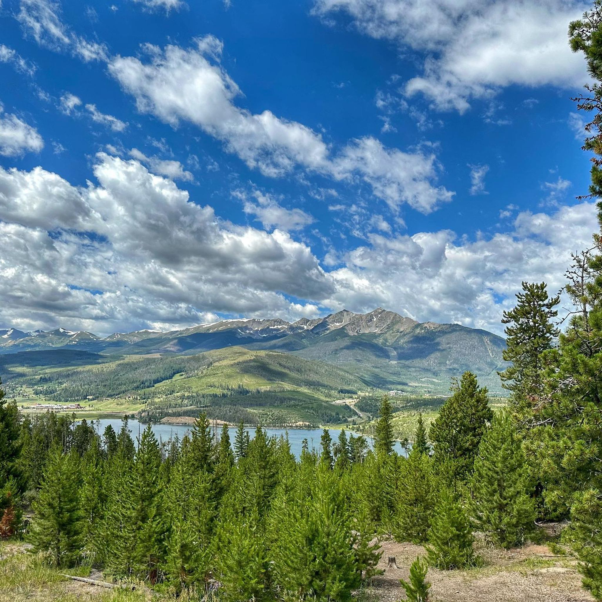
This is a scenic spot to look out over the reservoir. The dam itself was built in the early 1960s and required relocating the original town of Dillon, which is now sitting beneath the water. Today, the reservoir holds Denver’s largest water supply and sends it through a tunnel under the Continental Divide. Surrounded by mountain towns, Dillon Reservoir is a popular locale for boating, fishing, and summer concerts at the lakeside amphitheater.
0
0

Loveland Pass from Keystone is a fantastic high-altitude road biking challenge on US Highway 6, taking you over the Continental Divide. Starting around 9,200 feet at Keystone, you'll ascend approximately 8.5 to 11.5 miles, gaining about 2,600 to 3,000 feet to reach the 11,990-foot summit, with a steady average gradient typically in the 5.4-5.9% range. As you climb, you'll pass the Arapahoe Basin ski area and gradually transition into beautiful alpine meadows and forests before the final switchbacks above treeline offer dramatic views down to I-70 and expansive mountain vistas from the top of the pass. Be prepared for the significant altitude and potentially rapid weather changes at this elevation.
0
0

Temple Trail is primarily utilized as a commuter trail by locals and as a paved trail connector to other trails in the area. The trail offers some views of Mount Royal and some of the other foothill mountains, but it is not the most scenic trail in the area. It's a great path for running, though.
0
0

River Run Village is located on the east edge of Keystone. The village has summer and winter activities including skiing, tubing, mini golf, gondola rides, and many other resort amenities.
0
0

From the Dillion Reservoir Recpath there are great views of the south end of the Dillion Reservoir. The edge of the water is only a few feet away, and with the occasional tree obstructing the view, it is overall a great way to see the reservoir.
0
0

Loveland Pass stands at 11,990 feet above sea level along the Continental Divide. This is a great place to snap some photos of the sweeping Rocky Mountain Views, take some selfies, and relax and rest before the long descent down.
0
0
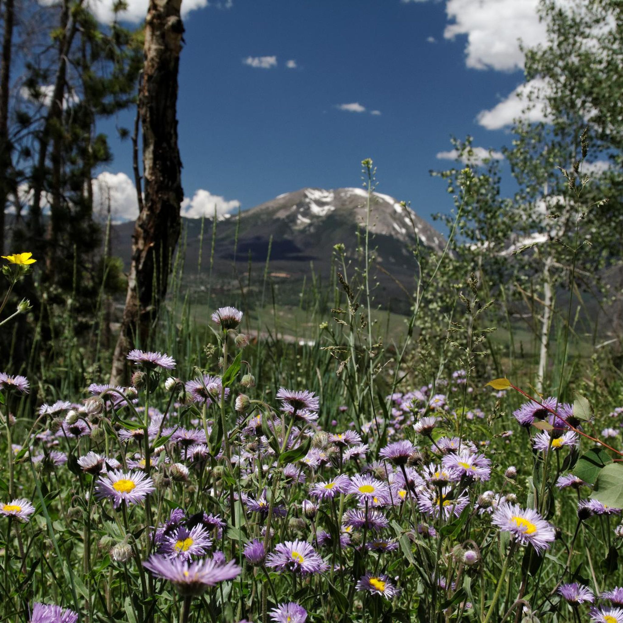
The Dillon Nature Preserve is a popular summer and winter destination for hikers, XC skiing, snowshoeing, and fishing! There are numerous small paths that lead through wildflowers and take you down to the lake. The gravel road is plowed in the winter and this area is considered family friendly (including dogs)!
0
0
The bike path to and around the Dillion Reservoir is very scenic and peaceful. There are amazing mountain views almost everywhere around the water, and you can watch boats launching from the nearby marina.
0
0
Frequently Asked Questions
How many road cycling routes are available around Keystone?
There are over 30 road cycling routes around Keystone, offering diverse terrain from extensive paved paths to challenging mountain ascents. These routes cater to various skill levels, with 13 easy, 13 moderate, and 4 difficult options.
What kind of terrain and difficulty can I expect on road cycling routes in Keystone?
Keystone offers a wide range of terrain, from leisurely paved paths to challenging mountain climbs. You'll find routes traversing river valleys, circling scenic reservoirs, and ascending to significant elevations. For experienced cyclists, iconic and demanding ascents like Loveland Pass provide a Category 1 climb to the Continental Divide.
Are there any family-friendly road cycling options in Keystone?
Yes, Keystone is well-suited for family-friendly cycling. The extensive paved Summit County Recreation Path is a major draw, offering miles of accessible riding without vehicle traffic. Routes like the Dillon Nature Preserve – Dillon Dam & bike path loop from Mountain View Plaza are rated as easy and provide a pleasant experience for all ages.
What are some scenic highlights or natural features I can see while road cycling in Keystone?
Cyclists are constantly surrounded by the majestic Colorado Rocky Mountains, offering stunning views of peaks, alpine meadows, and forests. Many routes feature the beautiful Lake Dillon, the Snake River, and the Ten Mile Canyon, known for its riparian environment. Reaching Loveland Pass allows you to cross the Continental Divide, offering expansive high-alpine views.
Are there any loop trails for road cycling in Keystone?
Yes, many road cycling routes in Keystone are designed as loops. A popular option is the View of Dillon Reservoir – Dillon Reservoir Rec Path 🚴♂️ loop from Summit Cove, which offers extensive views of Lake Dillon. Another great loop is the Dillon Nature Preserve – Snake River Trail loop from Dillon-Keystone Trail, leading through the Dillon Nature Preserve and alongside the Snake River.
What do other road cyclists enjoy most about road cycling in Keystone?
The road cycling routes in Keystone are highly rated by the komoot community, with an average score of 4.4 stars from over 10 reviews. Cyclists often praise the stunning high-altitude scenery, the well-maintained paved paths, and the diverse options available, from leisurely lakeside rides to challenging mountain passes.
What is the best time of year for road cycling in Keystone?
The best time for road cycling in Keystone is typically during the warmer months, from late spring through early fall, when the mountain passes are clear of snow and the weather is generally mild. This period offers the most accessible routes and comfortable riding conditions, with opportunities to see wildflowers.
Are there any challenging climbs for experienced road cyclists in the Keystone area?
Absolutely. For experienced road cyclists seeking a challenge, Keystone provides access to iconic and demanding ascents. The climb to Loveland Pass is a notable Category 1 climb, reaching the Continental Divide at 11,990 feet. Other challenging routes include the River Run – Dillon Nature Preserve loop from Summit Cove, which features significant elevation gain.
Can I find amenities like cafes or bike-friendly accommodations along the routes?
Keystone and the surrounding towns like Dillon and Frisco, which are connected by the extensive bike path network, offer various amenities. You'll find cafes, pubs, and accommodations that cater to cyclists. Many routes pass through or near these towns, making it convenient to stop for refreshments or a break.
Are there any specific mountain passes or peaks that are popular for road cycling near Keystone?
Yes, the region is known for its impressive mountain passes. Loveland Pass is a very popular and challenging climb for road cyclists, offering incredible views from the Continental Divide. While not all peaks are directly accessible by road bike, the views of summits like Mount Sniktau and Grays Peak are a constant backdrop to many rides.
Where can I find easy, paved routes for a relaxed ride?
For an easy and relaxed ride, the paved Summit County Recreation Path is ideal. It connects Keystone to nearby towns and offers continuous, scenic routes without vehicle traffic. The Snake River Trail – River Run loop from Reynolds Dam is another excellent easy option, providing a pleasant ride alongside the Snake River.
Most popular attractions around Keystone

Get inspired with the komoot mobile app


Explore more
Browse the best Road cycling routes in other regions.
