The best road cycling routes around Gold Hill
4.8
(15)
2,505
riders
20
rides
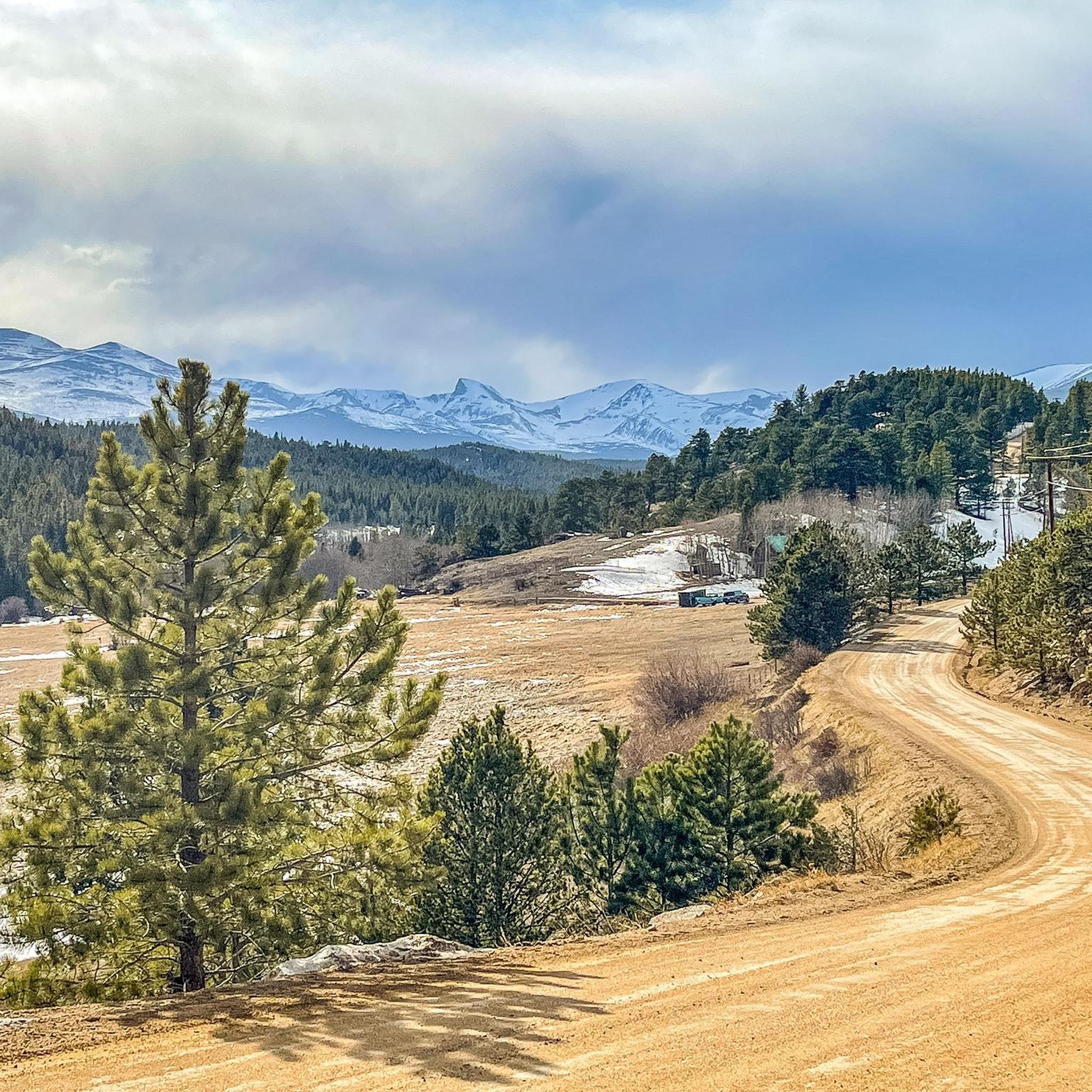
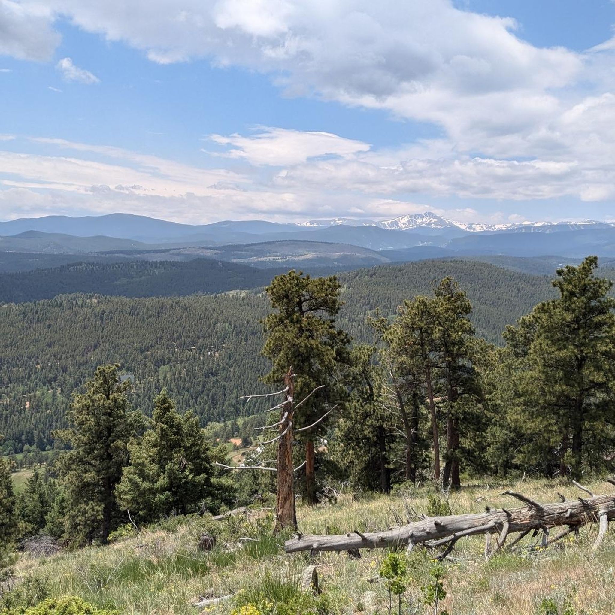
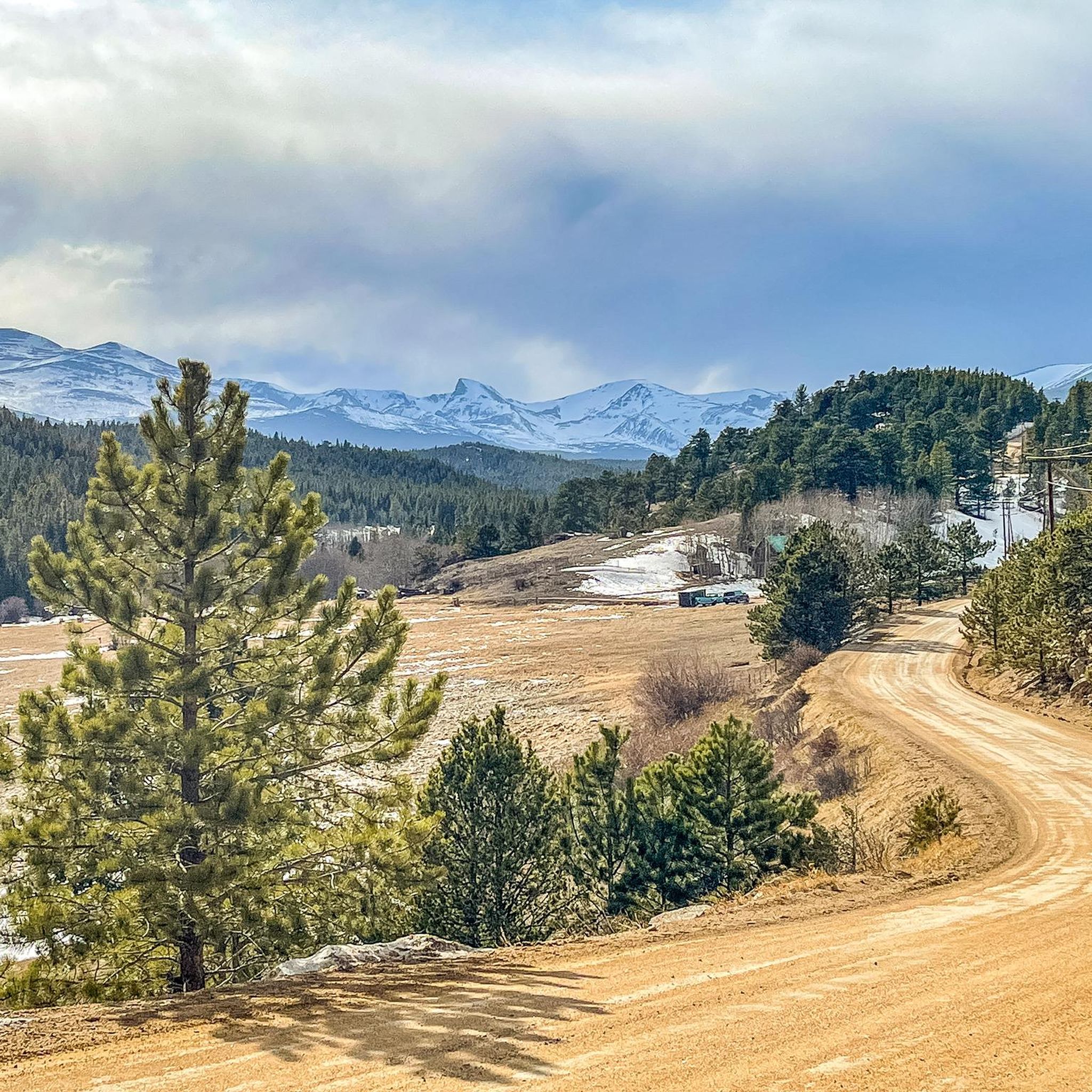
Road cycling around Gold Hill, Colorado, features challenging terrain with significant elevation gains in the Rocky Mountains. The region is characterized by a mix of paved and unpaved gravel roads, winding through canyons and subalpine forests. Cyclists encounter demanding climbs and descents, often leading to panoramic mountain views. Gold Hill itself is situated at an elevation of approximately 8,300 feet, providing a base for routes that explore the surrounding high-altitude landscape.
Best road cycling routes around Gold Hill
- The most popular road cycling route is Ward, Lefthand Canyon, and Lee Hill loop from Pearl Street, a 46.3 miles (74.5 km) trail that takes 3 hours 59 minutes to complete. This difficult route features substantial climbing through multiple canyons.
- Another top favourite among local road cyclists is Sunshine and Fourmile Canyons to Gold Hill loop, a difficult 22.9 miles (36.9 km) path. This route includes mixed surfaces and significant elevation gain on its way to Gold Hill.
- Local road cyclists also love the Ward and Brainard Lake via Lee Hill Drive from Pearl Street, a 51.5 miles (82.9 km) trail leading through mountainous terrain with over 6,000 feet of elevation gain, often completed in about 4 hours 49 minutes.
- Road cycling around Gold Hill is defined by challenging climbs, dramatic mountain views, and routes through canyons and forests. The network primarily offers options for experienced road cyclists seeking demanding terrain.
- The routes in Gold Hill are highly rated by the komoot community with an average score of 4.8 stars from over 9 reviews. More than 2,000 road cyclists have used komoot to explore Gold Hill's varied terrain.
Last updated: October 9, 2026
4.8
(6)
422
riders
74.5km
03:59
1,340m
1,340m
The Ward, Lefthand Canyon, and Lee Hill loop from Pearl Street is a popular road cycling route that immerses you in Boulder's iconic mountain landscape. You'll experience the dramatic ascent through Lefthand Canyon, winding past rugged cliffs and dense forests, before reaching the quaint mountain community of Ward. The return journey features the notorious Lee Hill Drive Climb, a true test of stamina, making this a difficult ride for advanced cyclists.
This challenging road cycling route near Pearl Street Boulder covers a substantial 46.3 miles (74.5 km) with an impressive 4391 feet (1338 metres) of elevation gain, typically requiring about 3 hours and 59 minutes. Starting from Pearl Street means you're already in the heart of Boulder, with numerous cafes near Pearl Street Mall Boulder for a pre-ride coffee or post-ride meal. Plan for an early start to make the most of the day and ensure ample time for this demanding loop.
What makes this loop stand out among Boulder's best cycling routes is its combination of scenic canyon riding and significant mountain climbs. The route offers a comprehensive tour of the area's diverse terrain, from the urban fringe to high-alpine feel near Ward, providing a rewarding experience for those seeking a serious workout and stunning views. It's a classic for a reason, offering a true taste of Colorado's cycling challenges.
311
riders
36.9km
03:19
1,020m
1,020m
The Sunshine and Fourmile Canyons to Gold Hill loop offers a classic Boulder road cycling experience, pushing your limits with its substantial climbs. You'll navigate the winding roads of Sunshine Canyon and Fourmile Canyon, with the charming Gold Hill General Store serving as a memorable waypoint. This 22.9-mile (36.9 km) route, featuring 3353 feet (1022 metres) of elevation gain, is rated difficult and typically takes about 3 hours and 19 minutes, making it ideal for cyclists who thrive on challenging ascents and scenic mountain roads.
To make the most of this demanding ride, plan to start your journey from Boulder, where you can find suitable parking. Given the significant elevation and duration, an early morning start is recommended, particularly during summer, to enjoy cooler temperatures and avoid potential afternoon weather. Always ensure you have adequate hydration and nutrition for this strenuous outing.
This loop is a quintessential Boulder road cycling route, connecting two prominent canyons with the historic mining town of Gold Hill. It's a fantastic way to experience the region's rugged beauty and get a serious workout, offering a different perspective than the more common routes. The blend of challenging terrain and the unique character of Gold Hill make it a standout option among Boulder's advanced cycling routes.

5.0
(1)
252
riders
82.9km
04:49
1,830m
1,830m
Embark on a challenging racebike adventure from Pearl Street, climbing towards the stunning Brainard Lake. This difficult route covers 51.5 miles (82.9 km) and demands significant effort, with a massive 6011 feet (1832 metres) of elevation gain. You will transition from Boulder's urban edge into thick forests and then wide open meadows, enjoying exceptional views of the surrounding mountains before reaching the serene lake. Expect to spend around 4 hours and 48 minutes on this demanding journey.
This is a hard road ride that requires very good fitness due to its steep gradients, with some sections reaching up to 13%. While most of the route is well-paved, be prepared for some segments that might be unpaved and challenging. Cyclist-awareness signs are present along Left Hand Canyon, indicating a bike-friendly environment for your ride.
The route offers a unique blend of Boulder's charm and the majestic Rocky Mountains, culminating at the crystal-clear Brainard Lake. This journey is notable for its significant elevation profile, making it a true test of endurance and a rewarding experience for experienced cyclists seeking a substantial climb into the high country.
4.0
(1)
185
riders
80.1km
04:27
1,530m
1,530m
Embark on the Jamestown and Ward loop, a difficult road cycling route that challenges you with 49.8 miles (80.1 km) and a significant 5007 feet (1526 metres) of elevation gain. This ride, estimated to take 4 hours and 27 minutes, offers expansive mountain views, especially as you climb. You will experience the gravel section of Overland Road, which opens up to increasingly wide vistas. As you approach Ward through Lefthand Canyon, look for picturesque scenery and clear views of the Indian Peaks, often capped with snow.
While there are no specific seasonal closures for this route, consider riding in autumn to enjoy the vibrant fall foliage. The trail includes sections of smooth gravel, so make sure your road bike has tires 25mm or wider to handle the terrain comfortably. You can find convenient spots to refuel and rest along the way. The Jamestown Mercantile Café and the Ward General Store are good options for refreshments.
This route takes you through Boulder Open Space and Mountain Parks, offering a chance to connect with nature. Keep an eye out for deer and other wildlife along Lefthand Creek, adding to the immersive experience. The varied terrain and consistent climbing make this a significant workout for experienced cyclists looking for a rewarding challenge in a scenic setting.
155
riders
75.0km
04:30
1,810m
1,810m
Prepare for a difficult gravel cycling adventure on the Brainard Lake loop from North Boulder. This challenging 46.6 miles (75.0 km) route takes you through Roosevelt National Forest, combining paved roads with significant gravel sections. You will gain a substantial 5946 feet (1812 metres) of elevation, requiring about 4 hours and 30 minutes to complete. As you climb Old Stage Road, look out for expansive views over northeast Boulder. The ride culminates at the beautiful alpine Brainard Lake, nestled in the Indian Peaks Wilderness, offering a rewarding vista below the Continental Divide.
When planning your ride, remember that cyclists do not need a reservation or fee to enter the Brainard Lake Recreation Area, unlike motorized vehicles during peak season. Be aware that due to the high elevation, snow can persist on the trail until late spring. While some sections might be manageable on a road bike with wider tires, a gravel bike is highly recommended for a more comfortable and secure experience across the varied terrain.
This route is notable for its progression of views, starting with glimpses of the Continental Divide from Lee Hill and expanding into grand mountain vistas as you ascend the Super James gravel section. The journey leads you to the serene Brainard Lake, surrounded by subalpine forest, a true highlight of the Indian Peaks Wilderness. This challenging loop offers a comprehensive tour of the Front Range's diverse landscapes, making it a standout gravel ride in the region.
Get access to more routes and recommendations from other explorers.
Already have an account?
Our route recommendations are based on thousands of hikes, rides, and runs completed by other people on komoot.
Start today with a free account
Your next adventure awaits.


Tips from the Community


Steep. Bring your gears. Wonderful views. Ride it early during the week
0
0


Brainard Lake is a beautiful alpine lake in the Indian Peaks Wilderness below the Continental Divide surrounded by subalpine forest. It is in the Brainard Lake Recreation Area, which during the summer season usually requires a reservation and a fee, but if you are on your bike you do not need to pay or reserve a time slot. Because of the area's high elevation, snow typically remains until late spring, even on the paved road to the lake.
0
0
Fourmile Canyon Road is a popular cycling spot that connects Boulder Canyon all the way up to the "ghost town" of Gold Hill via Gold Run Road, Gold Hill Road, and the Peak to Peak Highway. This particular section of Fourmile is from Boulder Canyon to Poorman Hill Road, another popular gravel road that connects to Sunshine Canyon.
0
0
Sunshine Canyon is a popular ride that that takes you straight from downtown Boulder up into the foothills past popular hikes like Mount Sanitas and Lions Lair. This upper section of Sunshine Canyon is gravel, but it is generally well-graded, and hard packed; it is frequently completed by local cyclists on road bikes. The only place where the gravel can be a little looser and chunkier is toward the top of the canyon by Gold Hill, so be aware when ascending or descending.
1
0
Lee Hill Drive is a popular, challenging climb that connects the intersection of Lee Hill with Olde Stage just outside of North Boulder, and Lefthand Canyon. The backside of Lee Hill (the Lefthand Canyon side) is a little nicer for climbing because there is less traffic than on the the Boulder side where there is no shoulder on a series of initial switchbacks. Regardless of which way you go up Lee Hill, coming down the 1,400 foot climb is a real treat after the challenging journey up!
0
0
The east end of Pearl Street before you reach the Pedestrian Mall has seen a lot of growth these last few years. There are great restaurants and coffee shops as well as shopping. There are several large outdoors stores from well-known brands, including Patagonia, Arc'Teryx, Backcountry, Stio, and Mont Bell, all within a few blocks of each other. Boxcar Coffee is an excellent place for a post (or mid) ride latte and pastry, and its right next to Rapha, a high-end cycling clothing shop that also serves coffee.
0
0
Frequently Asked Questions
How many road cycling routes are available around Gold Hill?
There are over 15 challenging road cycling routes available around Gold Hill, all rated as difficult, offering significant elevation gains and stunning mountain views.
Are there any easy or family-friendly road cycling routes in Gold Hill?
The road cycling routes around Gold Hill are primarily designed for experienced cyclists due to their challenging terrain and significant elevation gains. All routes listed are rated as difficult, making them less suitable for beginners or families seeking easy rides.
What kind of terrain can I expect on Gold Hill road cycling routes?
You can expect a mix of challenging climbs and rewarding descents. Many routes feature a blend of smooth tarmac and unpaved gravel roads, adding an adventurous element. The region is characterized by winding paths through canyons and subalpine forests, with Gold Hill Road itself being a notable gravel climb.
What are some of the longest road cycling routes in the Gold Hill area?
For longer rides, consider the Ward and Brainard Lake via Lee Hill Drive from Pearl Street, which covers 51.5 miles (82.9 km) with over 6,000 feet of elevation gain. Another substantial option is the Ward, Lefthand Canyon, and Lee Hill loop from Pearl Street, spanning 46.3 miles (74.5 km).
Are there any loop routes for road cycling around Gold Hill?
Yes, many of the road cycling routes around Gold Hill are loops. For example, the Ward, Lefthand Canyon, and Lee Hill loop from Pearl Street and the Sunshine and Fourmile Canyons to Gold Hill loop are popular circular options.
What are the best times of year for road cycling in Gold Hill?
Given Gold Hill's elevation of approximately 8,300 feet, the best time for road cycling is typically from late spring through early autumn (May to October) when the weather is milder and roads are clear of snow. Winter cycling can be challenging due to snow and ice conditions at high altitudes.
Where can I find places to refuel or stop for a break during a ride?
The historic Gold Hill General Store in Gold Hill is a popular and convenient stop for cyclists to refuel and experience the town's past. Many routes also connect with the Boulder Creek Path, offering access to amenities in Boulder.
What scenic viewpoints can I expect along the road cycling routes?
Cyclists are consistently treated to panoramic mountain views throughout the region. Routes often lead to destinations like Brainard Lake and offer vistas of the Continental Divide. You can also find specific viewpoints such as Anemone Point Viewpoint and Wonderland Hill Lookout.
Are there any historical or natural attractions to explore near the routes?
Absolutely. Gold Hill itself is a historic mining town with preserved 19th-century charm, including the Gold Hill General Store and the Gold Hill School. Natural attractions include Mount Sanitas, Red Rock Lake, and Sugarloaf Mountain Summit, which offer additional exploration opportunities.
What do other road cyclists enjoy most about road cycling in Gold Hill?
The area is highly rated by the komoot community, with an average score of 4.8 stars from over 9 reviews. Reviewers often praise the challenging climbs, the dramatic mountain views, and the unique experience of riding through historic canyons and forests.
Are there routes that combine road cycling with gravel sections?
Yes, Gold Hill is known for its mixed-surface routes. The Sunshine and Fourmile Canyons to Gold Hill loop, for instance, includes both paved and unpaved sections. Gold Hill Road itself is a notable gravel climb, offering an adventurous element to many rides.
What are some of the most challenging climbs in the Gold Hill area?
The region is defined by demanding climbs. Gold Hill Road features an average grade of 4.2% with segments reaching 11.8%. Routes like the Ward and Brainard Lake via Lee Hill Drive from Pearl Street include over 6,000 feet of elevation gain, making them a significant test for any cyclist.
Most popular attractions around Gold Hill

Get inspired with the komoot mobile app


Explore more
Browse the best Road cycling routes in other regions.
