The best road cycling routes around Gleneagle
5.0
(1)
195
riders
14
rides
Road cycling around Gleneagle features a diverse landscape, offering a mix of forested areas, open plains, and routes around various lakes. The terrain includes gentle inclines and more challenging ascents, characteristic of the region's foothills. Many routes provide scenic views of the surrounding natural environment, making for varied road bike trails Gleneagle.
Best road cycling routes around Gleneagle
- The most popular road cycling route is Palmer Lake Recreation Area loop, a 29.4 miles (47.3 km) trail that takes 2…
Last updated: June 24, 2026
6
riders
47.3km
02:16
540m
540m
Cycle the moderate 29.4-mile Palmer Lake Recreation Area loop near Monument, offering scenic views of Palmer Lake and the Front Range.
1
riders
67.1km
03:17
760m
760m
This 41.7-mile (67.1 km) moderate racebike loop in Pike National Forest offers 2481 feet (756 metres) of elevation gain.

Sign up for free
1
riders
20.8km
01:01
230m
230m
The Bristlecone Lake loop is listed for racebike, but is a mountain biking and multi-use trail, not suitable for traditional road cycling.
62.3km
02:53
680m
680m
A moderate 38.7-mile road cycling loop around the US Air Force Academy in Colorado Springs, offering scenic views and challenging climbs.
13
riders
25.3km
02:21
250m
250m
Moderate road ride. Good fitness required. Mostly well-paved surfaces and easy to ride.
Get access to more routes and recommendations from other explorers.
Sign up for free
Already have an account?
Our route recommendations are based on thousands of hikes, rides, and runs completed by other people on komoot.
Start today with a free account
Your next adventure awaits.
Login or Signup
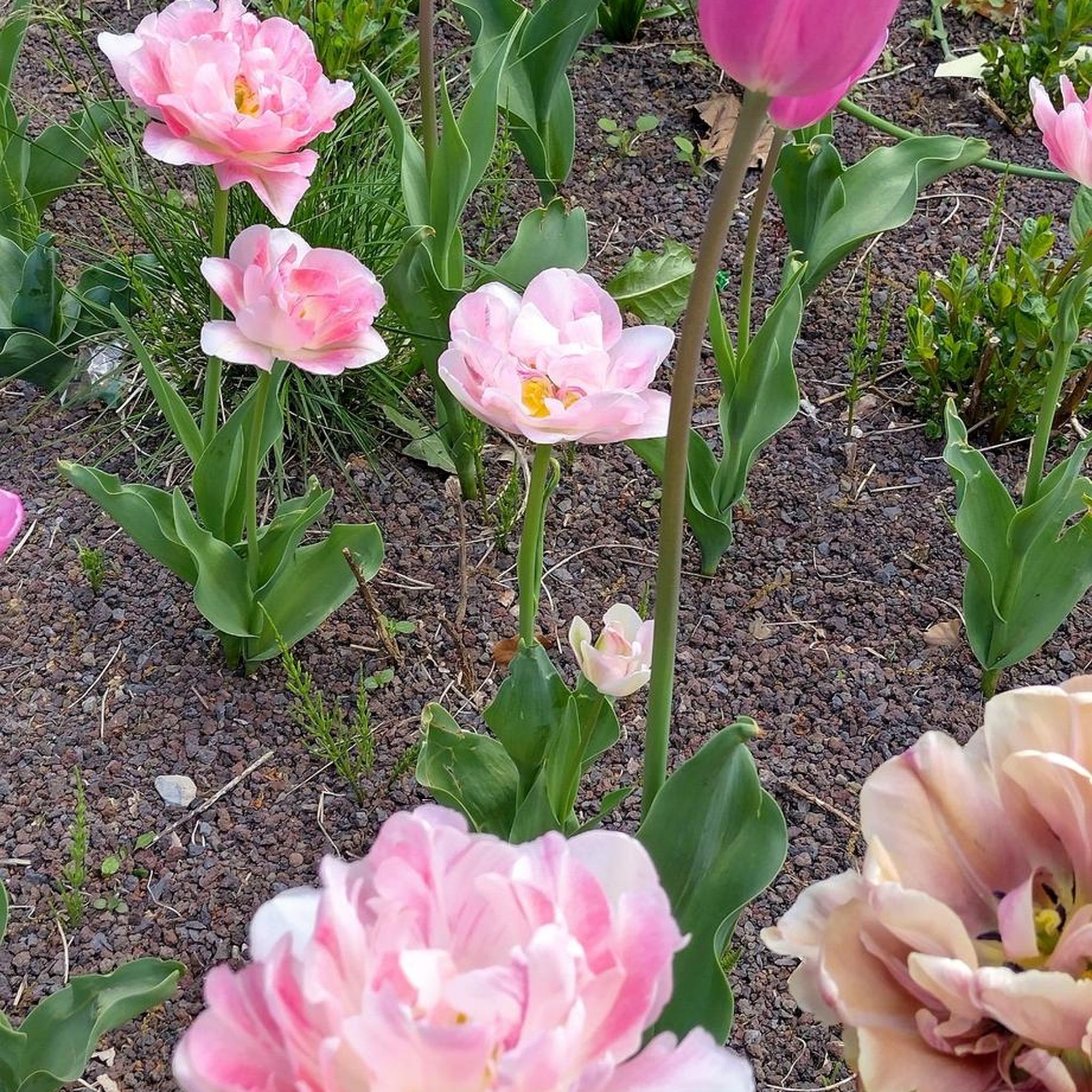
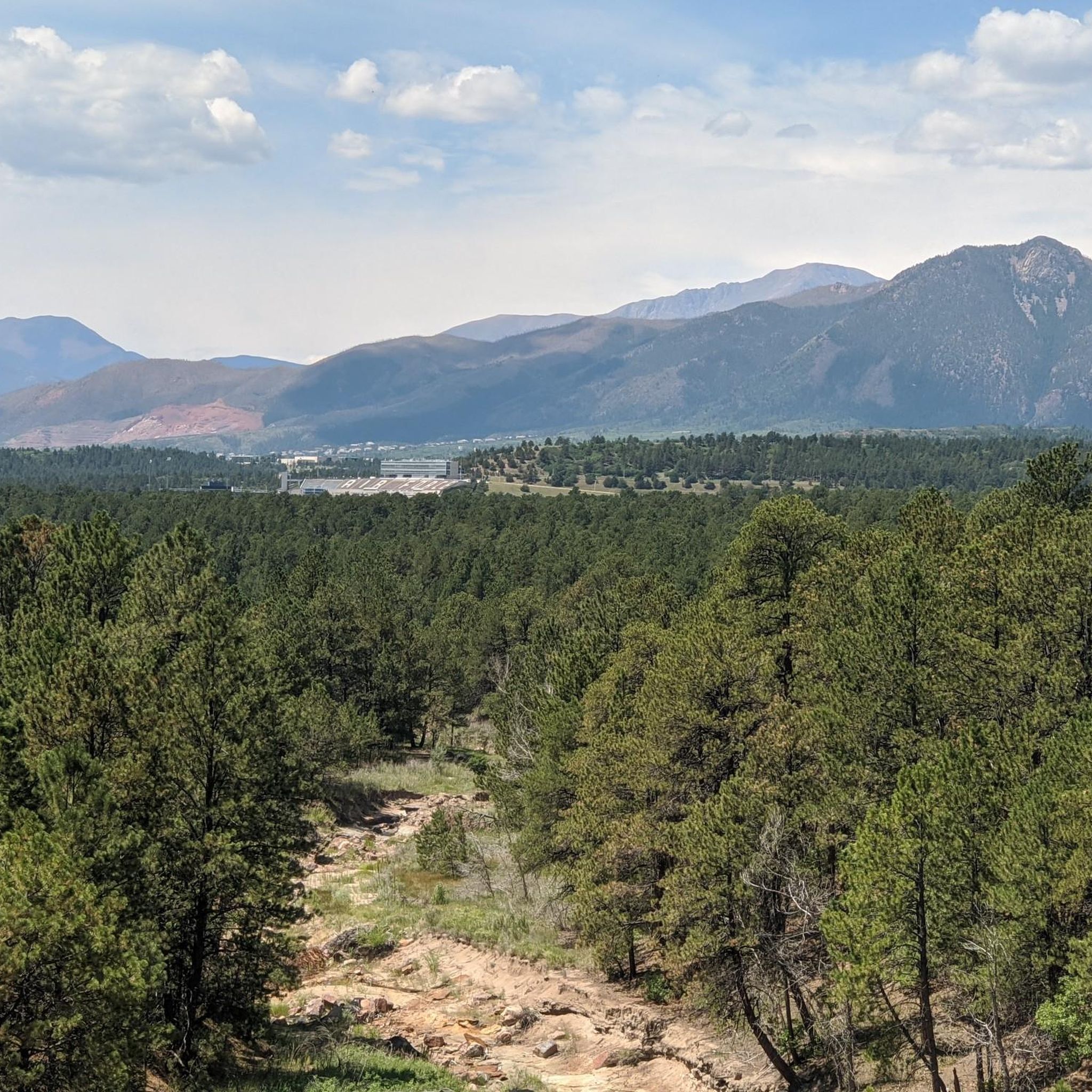

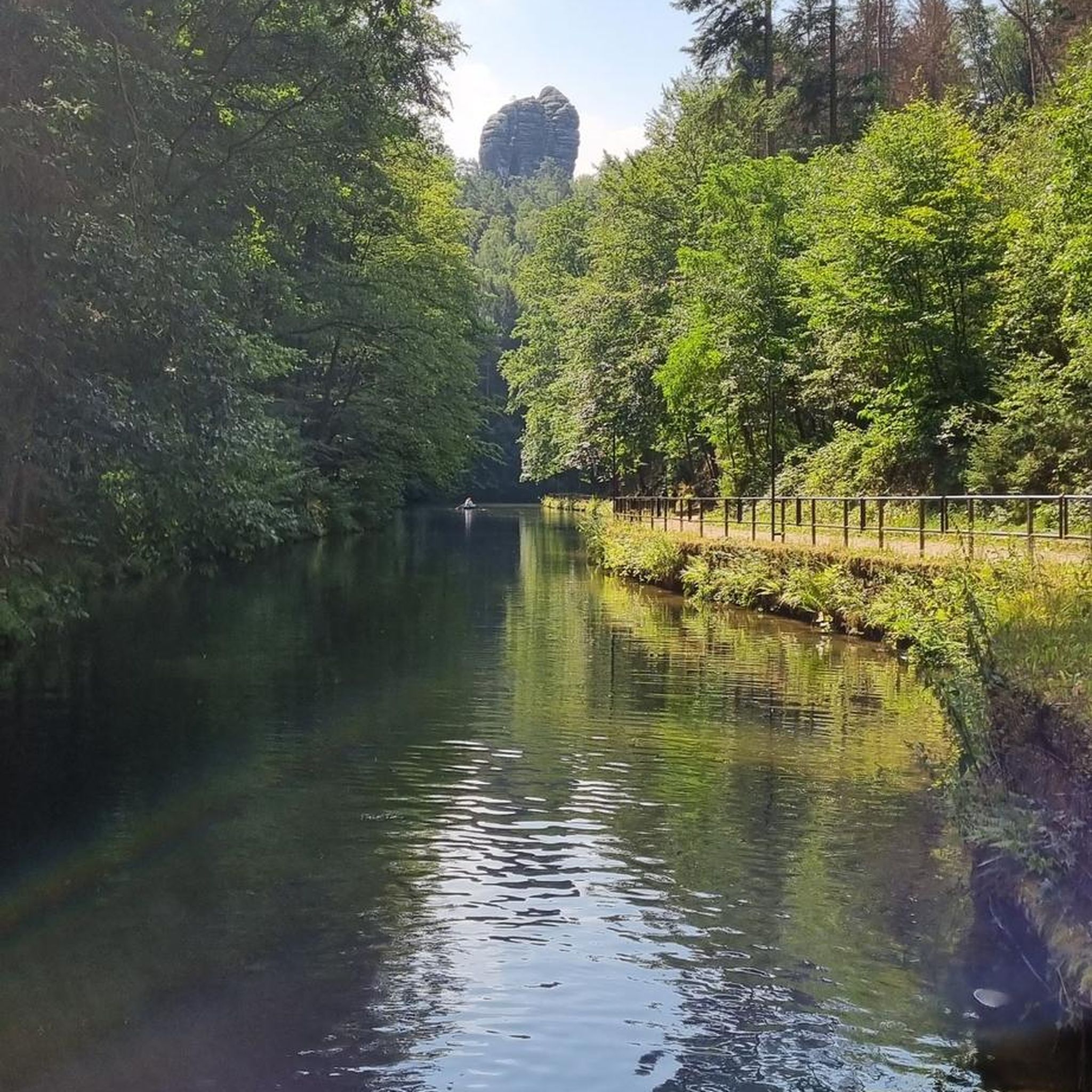
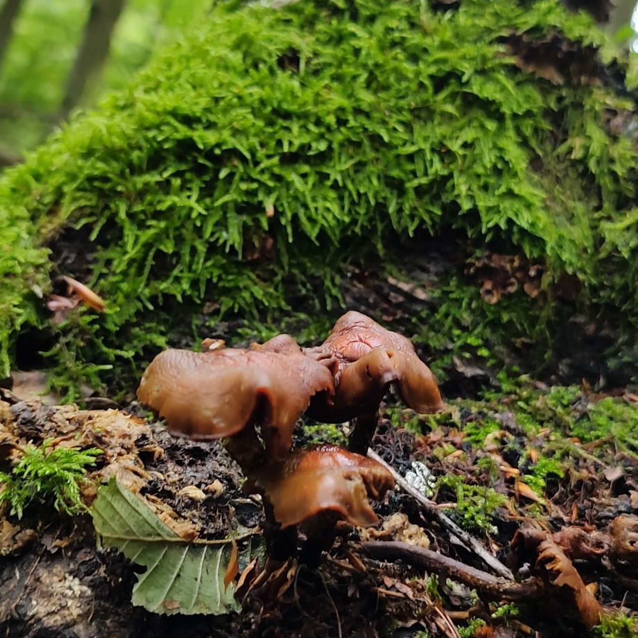
Tips from the Community

Black Forest is a small community that sits at 7,575 feet in elevation, where the high plains begin to meet the foothills. The town's name comes from the thick forest of ponderosa pine that resembles a large black mass when viewed from the summit of Pikes Peak.
0
0
Bristlecone Lake is a private active lake that is open to HOA Permit Holders only. However, the lake serves as a water storage and drinking source facility owned and maintained by the Forest Lakes Metropolitan District.
0
0
Palmer Lake Recreation Area is a 36-acre recreation site at the foot of Ben Lomond Mountain and is a popular spot to enjoy fishing, hiking, biking, and horseback riding.
0
0

This 417-acre park offers 4 miles of trails, open fields with playgrounds, two lakes, and a gazebo where you might witness a wedding ceremony taking place. Due to receiving more snow than other parts of the Colorado Springs area, it's a great spot for snowshoeing and cross-country skiing in the winter.
0
0

Across the street from the Air Force Academy main campus is the Air Force Academy Airfield that has a designated parachute landing zone.
0
0

When you're at Palmer Lake Regional Recreation Area, you're halfway there. Its lake, lawns and picnic area are perfect for a short break before heading back.
0
0
Frequently Asked Questions
How many road cycling routes are available in Gleneagle, and what are their difficulty levels?
Gleneagle offers a diverse network of 18 road cycling routes. These include 5 easy routes, 12 moderate routes, and 1 more challenging route, catering to various skill levels.
Are there any easy or beginner-friendly road cycling routes in Gleneagle?
Yes, Gleneagle has 5 easy road cycling routes suitable for beginners. A great option is the Bristlecone Lake loop, which is 12.9 miles (20.8 km) long and takes about 1 hour to complete, offering pleasant scenery around the lake.
What are some of the longer or more challenging road cycling routes around Gleneagle?
For those seeking longer rides, the Black Forest loop is a moderate 41.7 miles (67.1 km) path with rolling hills and forested sections. The region also features one difficult route for experienced cyclists looking for a significant challenge.
Are there circular road cycling routes available in Gleneagle?
Yes, many of Gleneagle's road cycling routes are designed as loops. Popular circular options include the Palmer Lake Recreation Area loop and the Black Forest loop, both offering varied scenery and terrain.
What kind of scenery can I expect on road cycling routes in Gleneagle?
Road cycling in Gleneagle offers a mix of landscapes, including forested areas, open plains, and routes that wind around various lakes. You'll encounter both gentle inclines and more challenging ascents, providing diverse and scenic views of the natural environment.
What attractions or points of interest can I see along the road cycling routes?
Many routes pass by beautiful natural features. You can explore areas like the Palmer Lake Regional Recreation Area, or enjoy the tranquility of Aspen Lake and Gazebo. The New Sante Fe Regional Trail is also a notable point of interest.
What do other road cyclists enjoy most about road cycling in Gleneagle?
Over 200 road cyclists have explored Gleneagle's routes with komoot, often praising the region's varied terrain, which includes routes around lakes, through forested areas, and across open landscapes. The diverse options cater to different ability levels, making it a popular destination.
Are there any less crowded road cycling options in Gleneagle?
While specific crowd levels vary, exploring routes like the Bristlecone Lake loop, especially during off-peak hours or weekdays, might offer a more tranquil experience compared to the more popular trails.
What is the best time of year for road biking in Gleneagle?
The best time for road biking in Gleneagle generally aligns with milder weather conditions, typically spring through fall. Summers offer warm temperatures, while spring and autumn provide cooler rides and often vibrant scenery. Always check local weather forecasts before heading out.
Are there road cycling routes that offer scenic viewpoints in Gleneagle?
Yes, many routes in Gleneagle are known for their scenic beauty. The diverse landscape, with its mix of forested areas, open plains, and lakes, naturally provides numerous opportunities for picturesque views. Routes like the Palmer Lake Recreation Area loop offer varied scenery that includes beautiful vistas.
Are there family-friendly road cycling routes in Gleneagle?
For families, the 5 easy routes available in Gleneagle are generally the most suitable. The Bristlecone Lake loop, at 12.9 miles (20.8 km) and an easy difficulty, is a good option for a family outing, offering a manageable distance and pleasant surroundings.
Most popular attractions around Gleneagle

Get inspired with the komoot mobile app


Explore more
Browse the best Road cycling routes in other regions.
