The best road cycling routes around East Pleasant View
4.5
(115)
6,781
riders
164
rides
Road cycling around East Pleasant View offers diverse landscapes, from accessible trail networks to significant elevation changes. The region is characterized by foothills and mesas, providing wide-open views and rolling terrain. Cyclists can also find routes along the Clear Creek Corridor, which offers a paved path. This area provides a blend of urban accessibility and natural beauty, catering to various skill levels.
Best road cycling routes around East Pleasant View
- The most popular road cycling route is Bear Creek Underpass – Apatosaurus Bulges loop from Federal Center, a 42.7 miles (68.6 km) trail that takes 3 hours 45 minutes to complete. This difficult route features significant elevation gain through varied terrain.
- Another top favourite among local road cyclists is Apatosaurus Bulges – Big Soda Lake loop from Red Rocks College, a moderate 27.6 miles (44.4 km) path. This route offers scenic views around Big Soda Lake and rolling terrain.
- Local road cyclists also love the Mile High Stadium – Confluence Park loop from Federal Center, a 48.3 miles (77.7 km) trail leading through urban areas and natural corridors, often completed in about 3 hours 50 minutes.
- Road cycling around East Pleasant View is defined by foothills, mesas, and the Clear Creek Corridor. The network offers options for different ability levels, from paved paths to routes with significant climbs.
- The routes in East Pleasant View are highly rated by the komoot community with an average score of 4.6 stars from over 100 reviews. More than 6,000 road cyclists have used komoot to explore East Pleasant View's varied terrain.
Last updated: August 20, 2026
3.7
(3)
161
riders
66.6km
03:22
300m
300m
Moderate road ride. Good fitness required. Mostly well-paved surfaces and easy to ride.
12
riders
87.7km
05:00
1,360m
1,360m
Hard road ride. Very good fitness required. Mostly well-paved surfaces and easy to ride.

Sign up for free
94
riders
85.6km
04:41
1,550m
1,550m
Hard road ride. Very good fitness required. Mostly well-paved surfaces and easy to ride.
4.0
(2)
119
riders
Moderate road ride. Good fitness required. Mostly well-paved surfaces and easy to ride.
282
riders
63.8km
03:21
910m
910m
Hard road ride. Very good fitness required. Mostly well-paved surfaces and easy to ride.
Get access to more routes and recommendations from other explorers.
Sign up for free
Already have an account?
Our route recommendations are based on thousands of hikes, rides, and runs completed by other people on komoot.
Start today with a free account
Your next adventure awaits.
Login or Signup
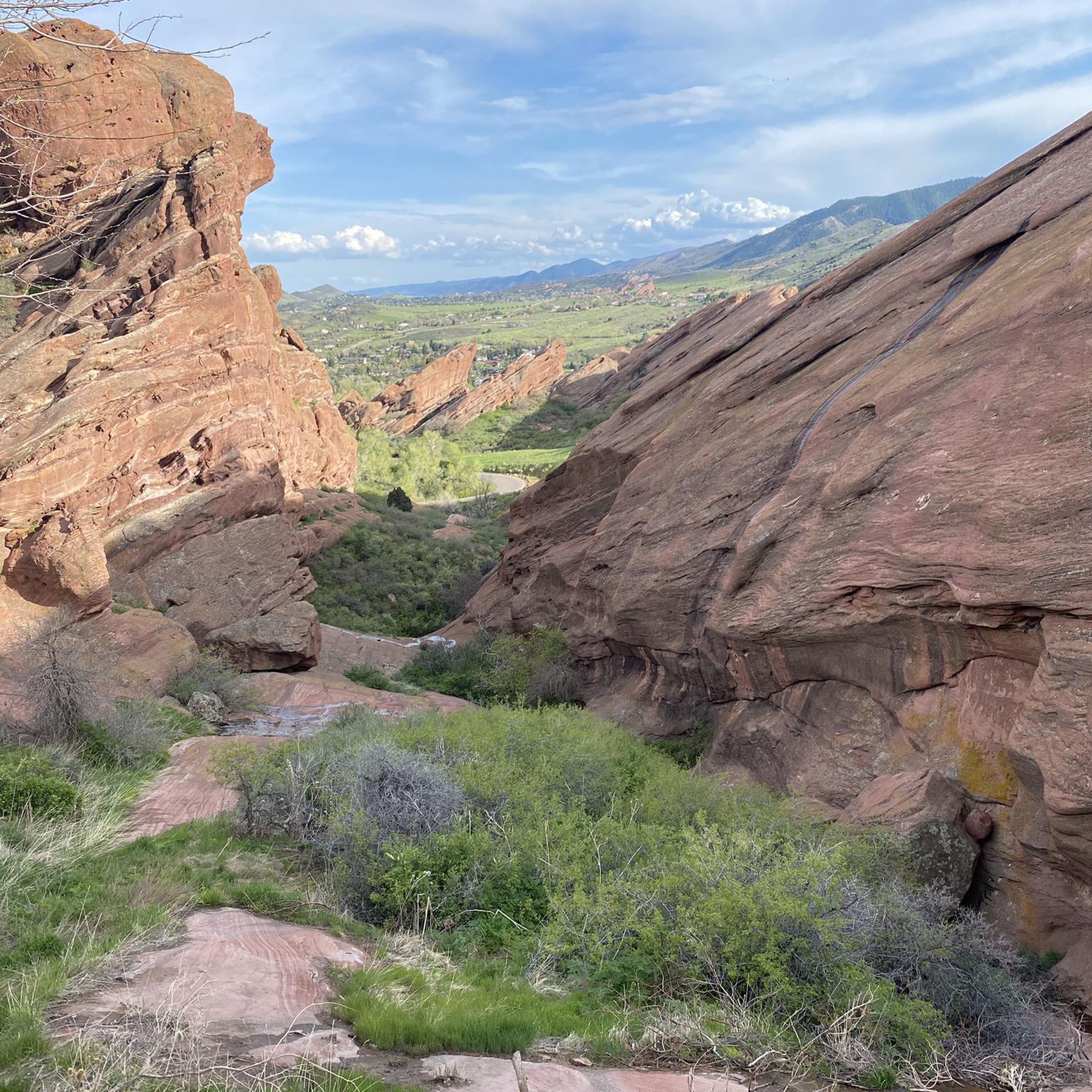
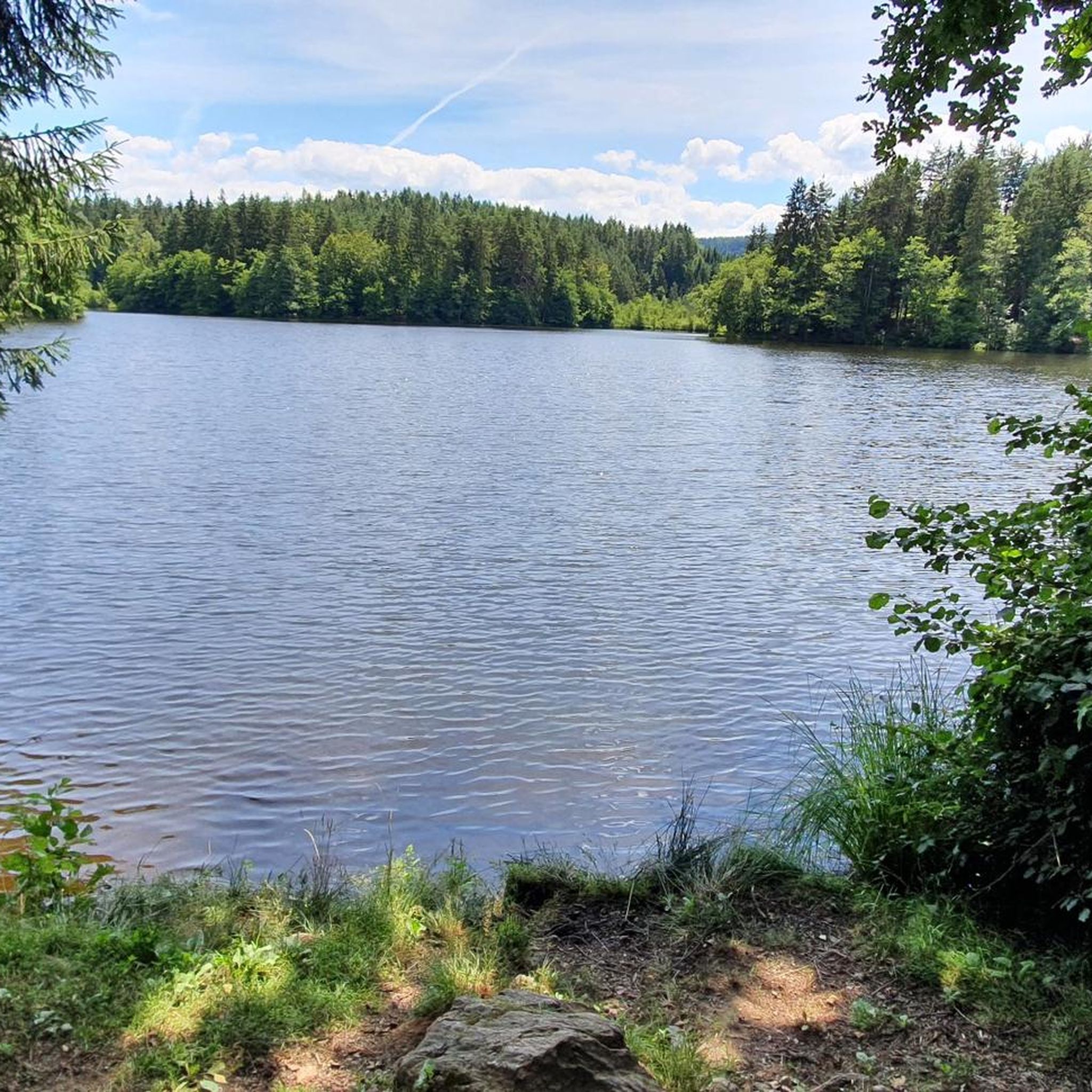
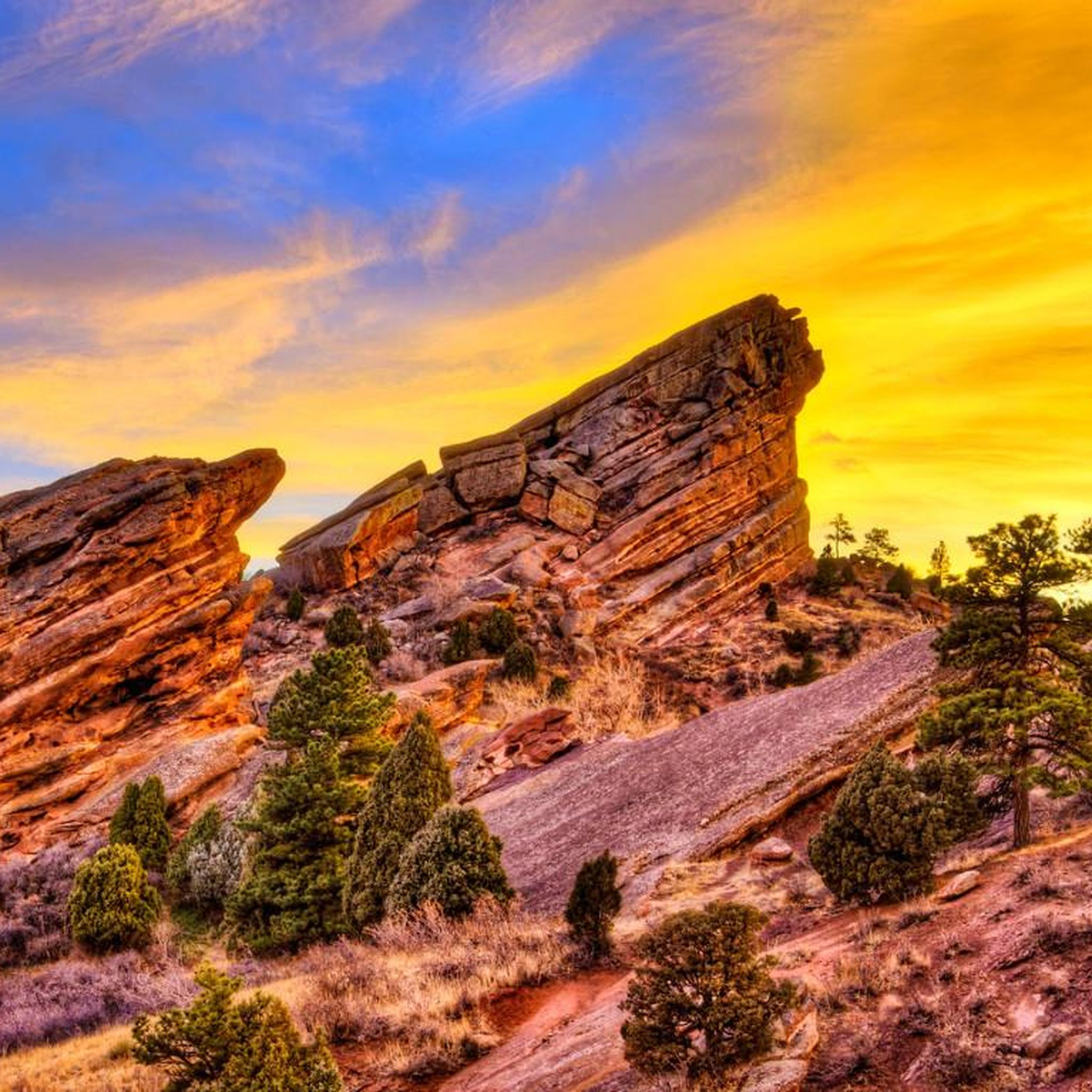


Tips from the Community

Grant-Frontier Park sits right on the South Platte River and is the site of the old Montana City, built in the 1850s. Today, visitors can find paved trails, playgrounds, restrooms, and benches.
0
0

Lookout Mountain is a popular climb for local cyclists and visitors. Traffic is normally light and friendly, but the climb is steep at points. However, you are rewarded at the top by wonderful views of downtown Denver.
0
0

The Lowell Ponds Wildlife Area in northwest Denver encompasses approximately 43 acres of warm-water ponds and riparian habitats. These ponds are home to species such as largemouth bass, smallmouth bass, channel catfish, bluegill, crappie, and bullhead catfish. Boating is prohibited to protect the habitat. In addition to fishing, Lowell Ponds is a nice spot for picnicking, hiking, and wildlife viewing. The site known for birdwatching, especially during migration periods when the ponds attract various waterfowl species.
2
0
Empower Field at Mile High, often called Mile High Stadium, is Denver’s iconic sports venue and home to the NFL’s Denver Broncos. Located near downtown, the stadium sits 5,280 feet above sea level, giving it its name. Opened in 2001, it replaced the original Mile High Stadium and can accommodate over 76,000 fans. The stadium hosts football games, concerts, and other large-scale events and features panoramic views of Denver and the Rocky Mountains. Outside, the "Bucky the Bronco" statue symbolizes the team and its history.
1
0

Was definitely an unexpected highlight 👍🏼🇺🇲
0
0

Clear Creek, a vibrant waterway roughly 66 miles long, originates in the Rocky Mountains west of Denver, finally meeting with the South Platte River. The contrast in the water's color and flow is often noticeable, with Clear Creek's clear, fast-moving water meeting the South Platte's slower, sometimes more opaque flow.
0
0

A small piece of American history.
0
0
Frequently Asked Questions
What types of road cycling routes can I expect in East Pleasant View?
East Pleasant View offers a diverse range of road cycling routes. You'll find everything from scenic paths along the Clear Creek Corridor to challenging climbs in the foothills and mesas. The area provides a blend of urban accessibility and natural beauty, catering to various skill levels.
Are there road cycling routes suitable for beginners or those looking for an easier ride?
Yes, there are several easier options. For instance, the Bridge into Golden – Tucker Lake View loop from Applewood is an easy route covering about 23 miles (37.5 km) with moderate elevation gain, offering a more relaxed experience.
Where can I find challenging road cycling routes with significant elevation gain?
For a more challenging experience, routes like the Bear Creek Underpass – Apatosaurus Bulges loop from Federal Center offer significant elevation gain, totaling over 3,700 feet (1,146 meters) over 42.7 miles (68.6 km). The region's foothills and mesas are known for these types of climbs, including popular ascents like Lookout Mountain.
What natural features and landmarks can I see while road cycling in East Pleasant View?
Cyclists can enjoy a variety of natural features. Routes often pass by iconic mesas, offer views of the Denver skyline from overlooks like Carl's Point, and provide access to areas like Bear Creek Lake and Dinosaur Ridge, where ancient footprints are visible. You might also encounter Green Mountain Peak and the famous Red Rocks Amphitheater nearby.
Are there any loop routes for road cyclists in the area?
Many of the road cycling routes in East Pleasant View are designed as loops, providing a convenient way to explore without retracing your path. Examples include the Apatosaurus Bulges – Big Soda Lake loop from Red Rocks College and the Big Soda Lake loop from Federal Center.
What is the typical duration for road cycling routes in East Pleasant View?
The duration varies significantly based on the route's length and difficulty. Moderate routes like the Apatosaurus Bulges – Big Soda Lake loop typically take around 3 hours, while longer, more challenging rides such as the Mile High Stadium – Confluence Park loop can take closer to 4 hours.
What do other road cyclists say about the routes in East Pleasant View?
The road cycling routes in East Pleasant View are highly regarded by the komoot community, holding an average rating of 4.6 stars from over 100 reviews. Cyclists often praise the diverse terrain, scenic views, and the variety of options available for different fitness levels.
Are there family-friendly road cycling options in East Pleasant View?
Yes, the region offers options suitable for families. The Clear Creek Trail, for example, provides a paved, creekside path ideal for casual bike rides. While specific family-friendly road routes are not detailed, the presence of paved trails and community parks suggests accessible areas for leisurely cycling.
What are some popular destinations or areas that road cycling routes pass through?
Many routes explore the foothills and mesas east of Golden, offering wide-open views. Cyclists can also find routes along the Clear Creek Corridor, through urban areas, and around natural features like Big Soda Lake and Bear Creek Lake. The area provides a blend of urban accessibility and natural beauty.
How many road cycling routes are available in East Pleasant View?
There are over 150 road cycling routes available around East Pleasant View, offering a wide selection for cyclists of all abilities. This includes 42 easy, 76 moderate, and 33 difficult routes.
Is there parking available near the road cycling trailheads?
While specific parking locations are not detailed for every trailhead, East Pleasant View benefits from its proximity to various trail networks managed by Jefferson County Open Space and Lakewood's regional parks, which typically offer designated parking areas for public access. It's advisable to check specific route starting points for parking information.
What is the best time of year for road cycling in East Pleasant View?
The diverse terrain of East Pleasant View makes it suitable for cycling across multiple seasons. Spring and fall generally offer pleasant temperatures and vibrant scenery. While winter cycling is possible, conditions can vary, especially on higher elevation routes, so checking local weather and trail conditions is recommended.
Most popular attractions around East Pleasant View

Get inspired with the komoot mobile app


Explore more
Browse the best Road cycling routes in other regions.
