The best road cycling routes around Cherry Creek
4.0
(61)
2,739
riders
84
rides
Road cycling around Cherry Creek features an extensive network of paved routes, primarily centered on the Cherry Creek Trail and Cherry Creek State Park. The terrain transitions from urban settings to more rural landscapes, offering views of the Cherry Creek Reservoir and, on clear days, the Rocky Mountains. Elevation gains are generally manageable, with routes suitable for various fitness levels. The region provides a mix of long-distance paths and shorter scenic loops within the state park.
Best road cycling routes…
Last updated: September 30, 2026
11
riders
60.7km
03:07
380m
380m
Moderate road ride. Good fitness required. Some segments of this route may be unpaved and difficult to ride.
5.0
(1)
193
riders
Hard road ride. Very good fitness required. Mostly well-paved surfaces and easy to ride.

4.6
(5)
140
riders
45.0km
02:19
180m
180m
Moderate road ride. Good fitness required. Mostly well-paved surfaces and easy to ride.
102
riders
46.5km
02:15
240m
240m
Moderate road ride. Good fitness required. Some segments of this route may be unpaved and difficult to ride.
3.5
(2)
63
riders
40.4km
02:08
310m
310m
Moderate road ride. Good fitness required. Mostly well-paved surfaces and easy to ride.
Get access to more routes and recommendations from other explorers.
Already have an account?
Our route recommendations are based on thousands of hikes, rides, and runs completed by other people on komoot.
Start today with a free account
Your next adventure awaits.
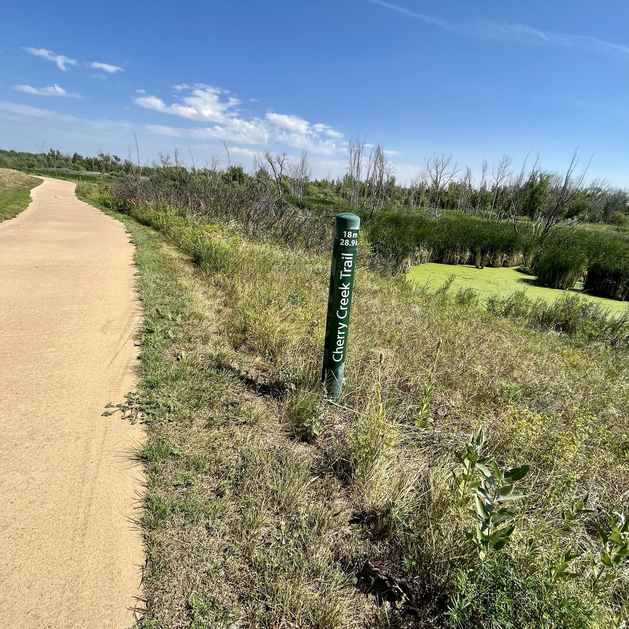
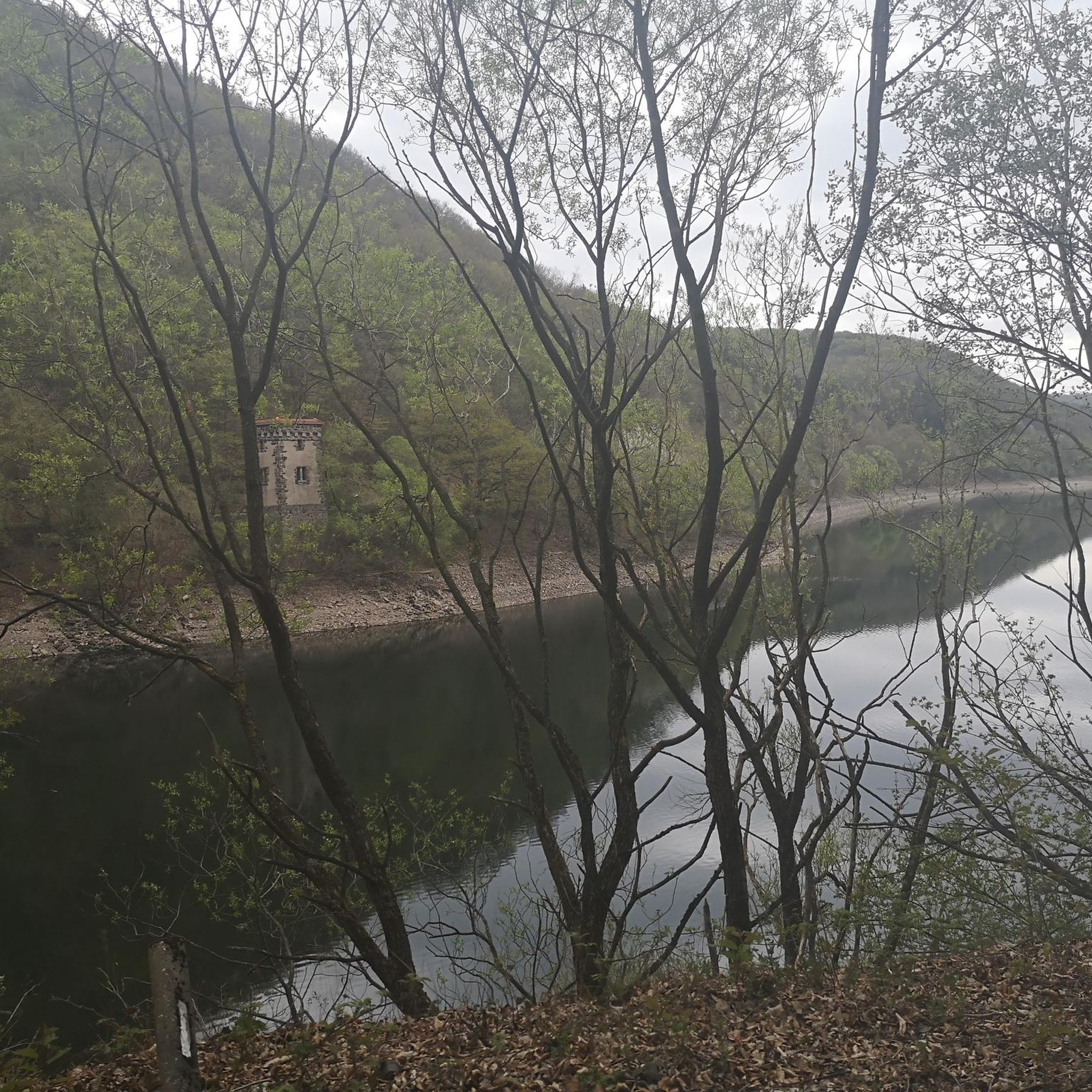
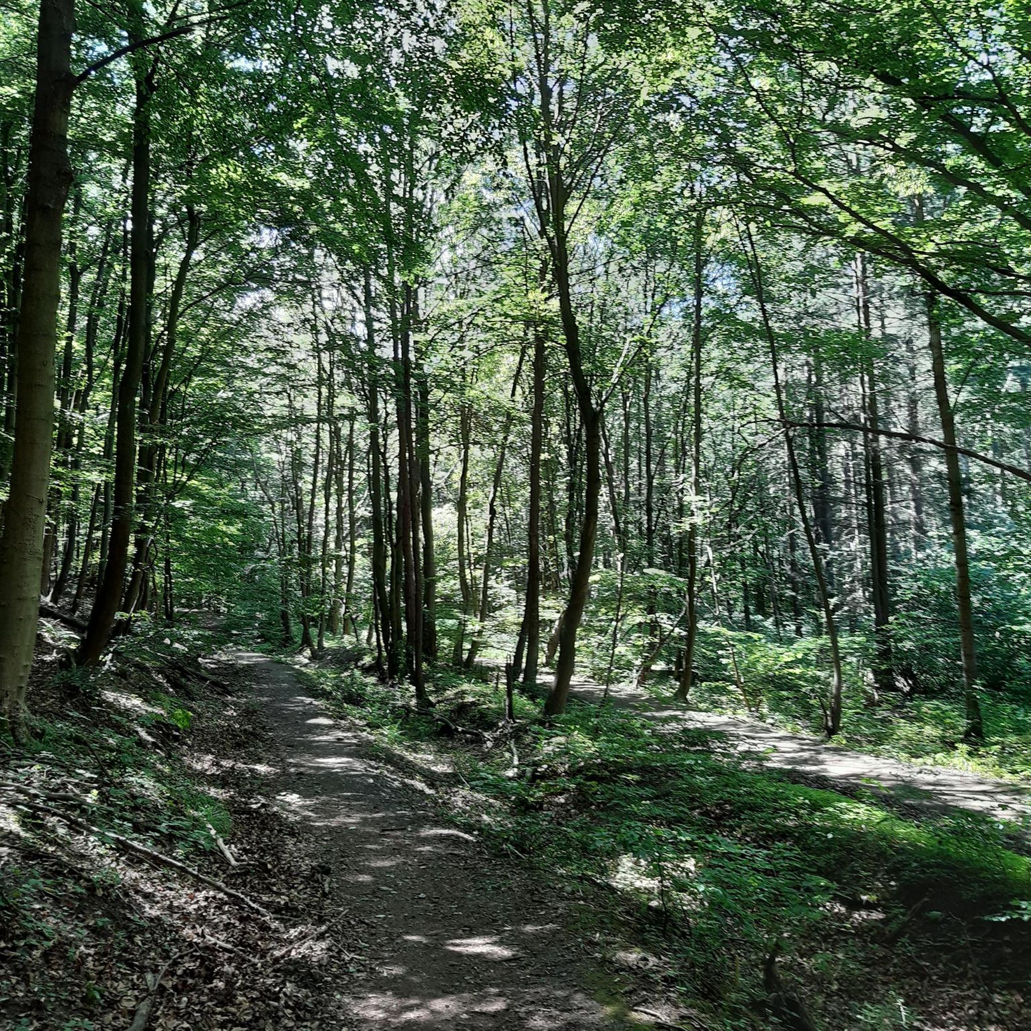

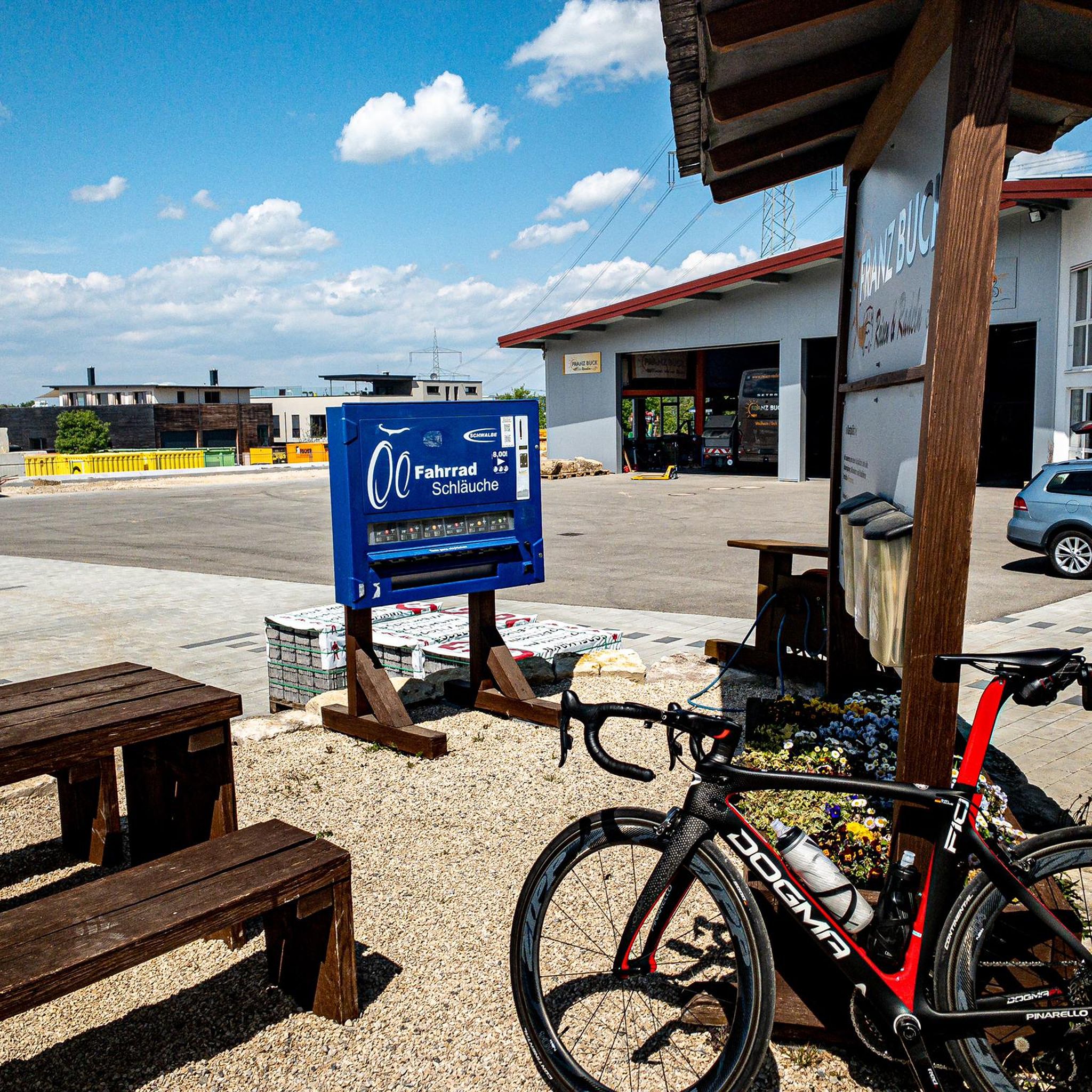
Tips from the Community

Cottonwood Creek runs out of Cherry Creek Reservoir and continues south. You cross the creek on several occasions on bridges while following the bike path.
0
0

Nice ride, non biting nats on the south side of the late but only occasionally
0
0

The Cottonwood Creek Wetlands are located within Cherry Creek State Park near Denver, Colorado. This area features a mix of wetlands and riparian habitats, providing a habitat for diverse wildlife, especially bird species. During wet springs, the wetlands attract migratory birds like the White-faced Ibis, offering birdwatchers unique viewing opportunities. The wetlands are accessable via the Cherry Creek Trail and are also near the Suhaka Model Airfield and the Prairie Loop Nature Trail.
0
0
Cherry Creek State Park, in Denver, Colorado is a large, popular park right in the heart of the city. There is an 880-acre reservoir where you can boat, fish, paddleboard, and swim. The park has over 35 miles of multi-use trails for hiking, biking, and horseback riding, and the popular Cherry Creek Trail runs right through it, connecting the park with other locations and trails in the area. Facilities include multiple parking areas and trailheads, picnic areas, restrooms, a marina, and an off-leash dog area.
1
0

Railbender Park is a fantastic skate and tennis park. It's an ideal spot to take a break from your bike ride and watch the skateboarders in action. The park also features picnic benches and ample parking. If you're planning a longer ride on the Cherry Creek Trail, Railbender Park offers direct access to the trail, making it a great place to start or end your journey.
0
0
The Cherry Creek Regional Trail is a part of the Colorado Front Range Trail and runs along Cherry Creek, connecting Cherry Creek State Park in the north to Castlewood Canyon State Park in the south. It links parks and offers scenic views of cottonwoods, willows, and grasslands.
0
0
Great stop on the Platte River Trail, good coffer, place to sit and relx
1
0

At this point you can experience the vastness of Cherry Creek Park. This wilderness area is especially remarkable that it is located in the city. The park is a refuge site for many wildlife species. In parallel, many outdoor activities are possible in some dedicated areas such as camping, fishing, hiking, or animal observation.
0
0
Frequently Asked Questions
What kind of terrain and elevation can I expect on road cycling routes in Cherry Creek?
Road cycling in Cherry Creek primarily features an extensive network of paved trails, offering a smooth experience. Elevation gains are generally manageable, with shorter rides seeing up to 500 feet and longer ones up to 1500 feet, making them enjoyable for a wide range of fitness levels. The routes transition from urban settings to more rural landscapes, providing diverse scenery.
Are there family-friendly road cycling routes in Cherry Creek?
Yes, Cherry Creek is an excellent destination for family-friendly road cycling. The Cherry Creek Trail – Cherry Creek Park loop from Arapahoe at Village Center, for example, is a moderate 26.7-mile paved route that is safe, accessible, and well-marked. The 16.3-mile Cherry Creek Reservoir Loop within the State Park is also a popular choice for its picturesque lake views and manageable distance, suitable for various ages.
Where can I park when visiting Cherry Creek for road cycling?
Cherry Creek State Park offers numerous amenities, including parking areas conveniently located near trailheads. You can often find parking within the park itself, providing easy access to the extensive cycling network. Specific parking details might vary by entrance, such as the Cherry Creek State Park South Entrance.
How accessible are Cherry Creek's road cycling routes by public transport?
The Cherry Creek Trail is well-integrated into the broader city network, efficiently connecting different parts of Denver. While direct public transport access to specific trailheads within Cherry Creek State Park might require some planning, the main Cherry Creek Trail itself is often accessible from various urban points, making it possible to reach by combining public transport with a short ride.
When is the best time of year to go road cycling in Cherry Creek?
Cherry Creek offers enjoyable road cycling for much of the year due to its generally mild climate. Spring and fall provide pleasant temperatures and vibrant scenery. Summer mornings and evenings are also ideal to avoid the midday heat. While winter cycling is possible, conditions can vary, so checking local weather forecasts for ice or snow is advisable.
What scenic viewpoints or natural features can I expect along the road cycling routes?
Road cycling routes in Cherry Creek offer a blend of urban and natural beauty. You can expect impressive views of the Denver skyline, especially from higher points, and on clear days, glimpses of the majestic Rocky Mountains. The Cherry Creek Reservoir is a focal point, providing serene waterscapes. You might also spot local wildlife like rabbits, birds, and even deer, particularly in areas further from downtown, and pass by Cottonwood Creek Wetlands.
Are there any long-distance road cycling options in Cherry Creek?
Yes, Cherry Creek is well-suited for longer road cycling excursions. The Cherry Creek Trail itself spans approximately 40 to 51.1 miles, offering a substantial ride. For even longer distances, routes like View from Chatfield Dam – Wetlands View loop from Arapahoe at Village Center cover over 50 miles, providing expansive views and connecting to other areas like Chatfield Dam.
What do other road cyclists enjoy the most about road cycling in Cherry Creek?
The road cycling routes in Cherry Creek are highly rated by the komoot community, with an average score of 4.5 stars from over 50 reviews. Cyclists often praise the extensive paved trail network, the diverse scenery that transitions from urban to natural, and the well-maintained paths. The manageable elevation and the beautiful views of the Cherry Creek Reservoir are also frequently highlighted.
Are there any circular road cycling routes in Cherry Creek?
Yes, many of the popular road cycling routes in Cherry Creek are designed as loops, offering convenient starting and ending points. A prime example is the 16.3-mile Cherry Creek Reservoir Loop within Cherry Creek State Park, which provides a scenic circular ride around the lake. Other routes like South Platte River – View from Chatfield Dam loop from Dry Creek also offer a complete circular experience.
What are some notable landmarks or attractions near the road cycling routes?
Beyond the natural beauty, road cyclists can explore several points of interest. The Cherry Creek Reservoir is a central attraction for water-based activities and scenic breaks. Nearby, you can find the Marjorie Perry Nature Preserve, offering a tranquil natural setting. The Cherry Creek Trail also leads towards areas like Castlewood Canyon State Park for those seeking an extended adventure.
How many road cycling routes are available in the Cherry Creek area?
There are over 90 road cycling routes available in the Cherry Creek area, catering to various skill levels and preferences. This extensive network includes options from easy, shorter loops to more challenging, longer-distance rides, ensuring there's something for every road cyclist.
Can I connect to other trails or areas from Cherry Creek's road cycling routes?
Absolutely. The Cherry Creek Trail is a significant artery that efficiently connects to a broader network of trails, linking different parts of the city. It also extends towards destinations like Castlewood Canyon State Park, allowing for longer, multi-area excursions and varied cycling experiences beyond the immediate Cherry Creek vicinity.
Most popular attractions around Cherry Creek

Get inspired with the komoot mobile app


Explore more
Browse the best Road cycling routes in other regions.
