The best road cycling routes around Berkley
4.5
(135)
7,637
riders
181
rides
Road cycling routes around Berkley offer a diverse landscape characterized by significant elevation changes, ranging from challenging climbs in the hills to more leisurely paths along the bay. The region features well-maintained roads and dedicated bike lanes, providing access to varied terrain. Cyclists can experience routes that traverse natural parks, connect to urban areas, and offer expansive views of the surrounding environment. This area is known for its network of paths that cater to different skill levels, from gentle rides…
Last updated: October 11, 2026
4.8
(5)
172
riders
71.1km
03:53
560m
560m
Moderate road ride. Good fitness required. Mostly well-paved surfaces and easy to ride.
4.5
(2)
109
riders
Moderate road ride. Good fitness required. Mostly well-paved surfaces and easy to ride.

74
riders
Hard road ride. Very good fitness required. Mostly well-paved surfaces and easy to ride.
42
riders
Moderate road ride. Good fitness required. Some segments of this route may be unpaved and difficult to ride.
5.0
(1)
25
riders
45.9km
02:24
230m
230m
Moderate road ride. Good fitness required. Some segments of this route may be unpaved and difficult to ride.
Get access to more routes and recommendations from other explorers.
Already have an account?
Our route recommendations are based on thousands of hikes, rides, and runs completed by other people on komoot.
Start today with a free account
Your next adventure awaits.


Tips from the Community

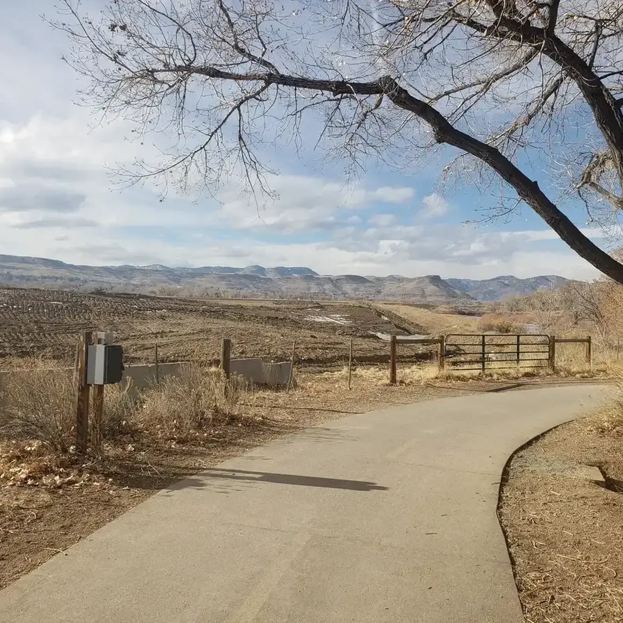
Great view of the South Platte River from the cycle trail. The trail is popular with walkers, runners, and cyclists, so if you want to stop to enjoy the view, make sure you pull off to the side.
0
0

The Lowell Ponds Wildlife Area in northwest Denver encompasses approximately 43 acres of warm-water ponds and riparian habitats. These ponds are home to species such as largemouth bass, smallmouth bass, channel catfish, bluegill, crappie, and bullhead catfish. Boating is prohibited to protect the habitat. In addition to fishing, Lowell Ponds is a nice spot for picnicking, hiking, and wildlife viewing. The site known for birdwatching, especially during migration periods when the ponds attract various waterfowl species.
2
0

Clear Creek, a vibrant waterway roughly 66 miles long, originates in the Rocky Mountains west of Denver, finally meeting with the South Platte River. The contrast in the water's color and flow is often noticeable, with Clear Creek's clear, fast-moving water meeting the South Platte's slower, sometimes more opaque flow.
0
0
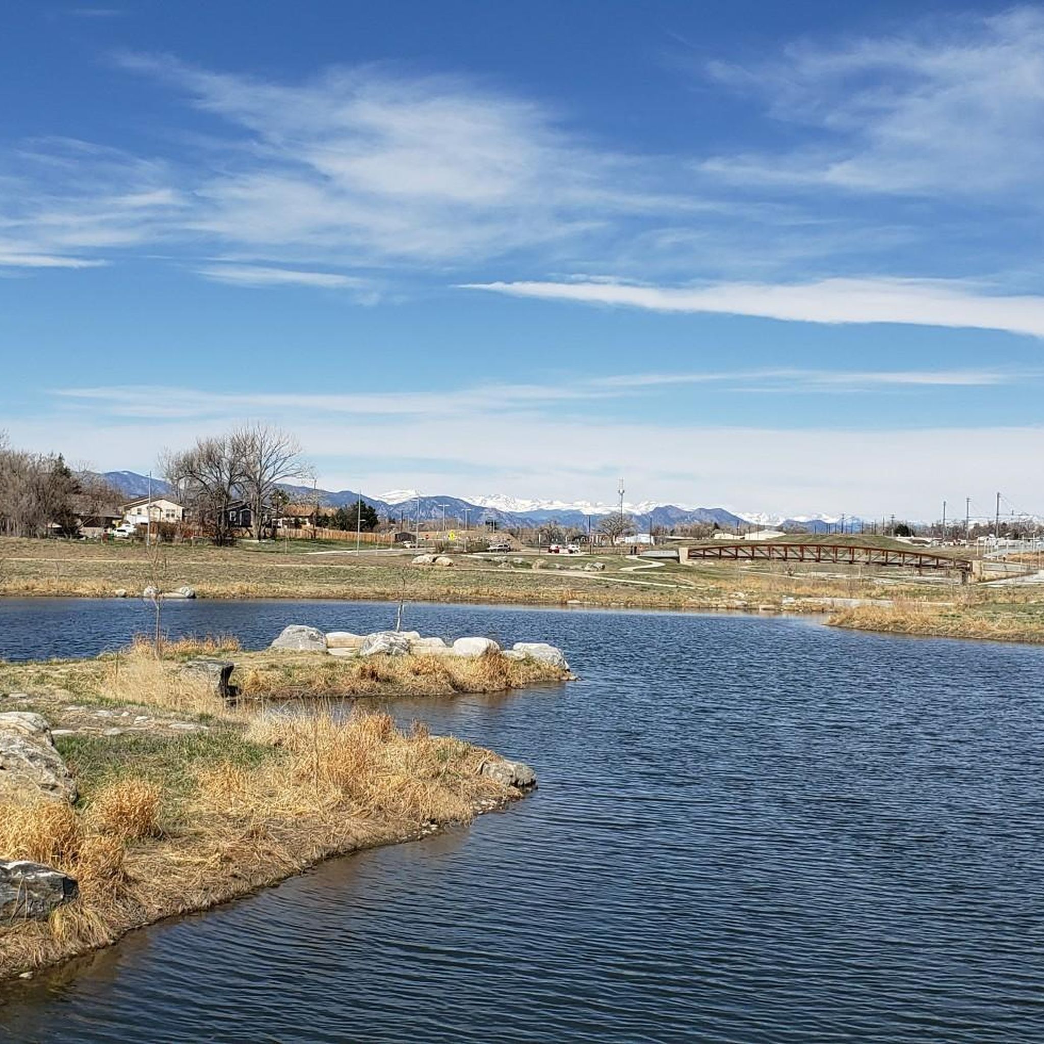
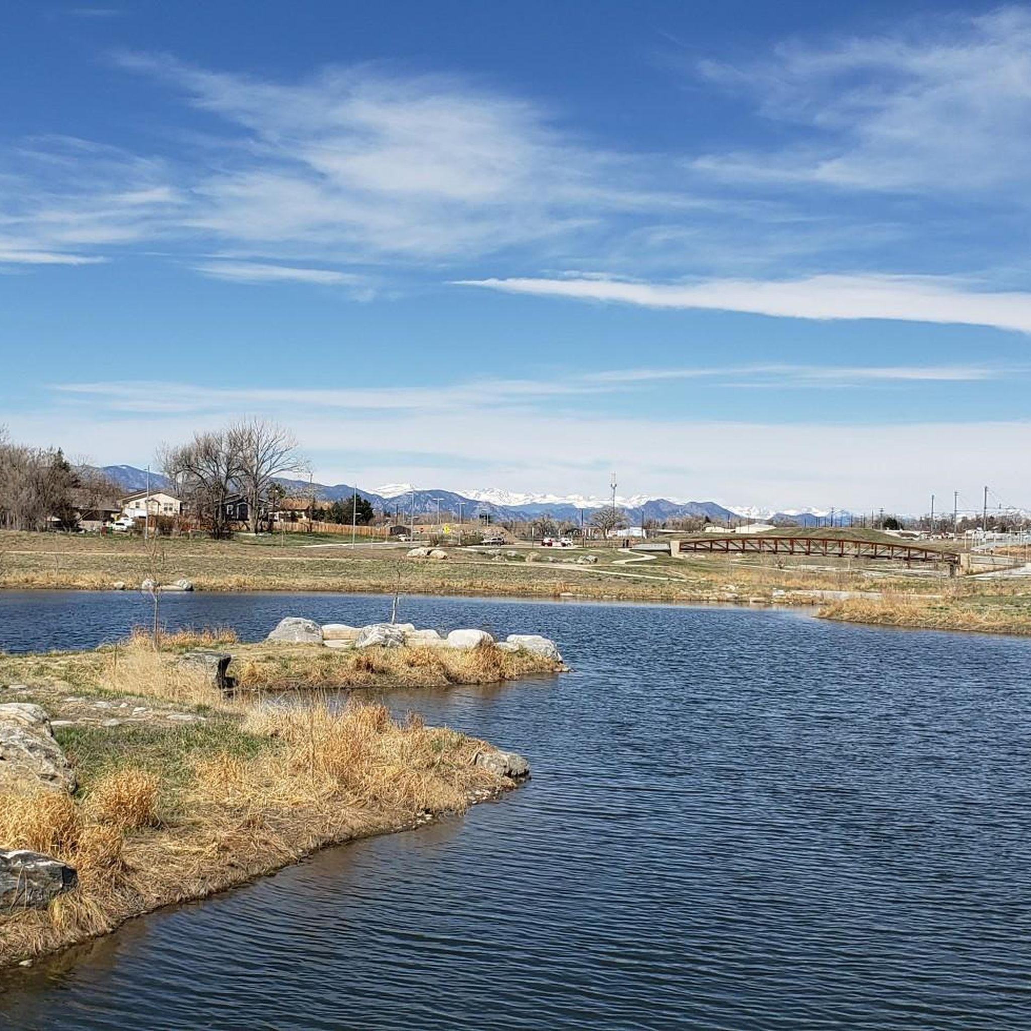
Take a moment to appreciate the park's namesake—the two sparkling lakes. They provide a picturesque backdrop for any activity, whether you're relaxing on a bench or actively exploring the park. You can find a few wood carving sculptures that showcase the beauty of nature.
0
0
These Lakes, a haven for anglers, offer a unique recreational opportunity with piers specifically designed for casting your line. The stocked lakes are known for a variety of trout species, making the piers a great spot to cast your line.
1
0

The South Platte River is one of the two main tributaries of the Platte River. The river starts in South Park and ends when it joins the North Platte River south of Ogallala, Nebraska.
0
0

The Clear Creek Trail is a long path that is a mixture of dirt, gravel, and pavement (though the majority is paved). Cyclists, runners, and walkers use the trail, which connects to a few different city parks and other trails.
0
0
Valente Lake serves as the centerpiece of Elaine T. Valente Open Space Park. The park features a couple paths that loop around the reservoirs, and the trails also connect over to the super popular South Platte River Greenway.
0
0
Frequently Asked Questions
How many road cycling routes are available in Berkeley?
Berkeley offers a wide array of road cycling routes, with over 180 options available on komoot. These routes cater to various preferences, from leisurely rides to challenging climbs.
What is the general difficulty level of road cycling routes in Berkeley?
The road cycling routes in Berkeley present a diverse range of difficulties. You'll find approximately 78 easy routes, 87 moderate routes, and 23 difficult routes, ensuring options for all skill levels. Many routes feature significant elevation changes, particularly in the Berkeley Hills.
Are there challenging climbs for experienced road cyclists in Berkeley?
Absolutely. Berkeley is renowned for its demanding ascents, especially along Bridge into Golden – View from Chatfield Dam loop from 60th & Sheridan - Arvada Gold Strike and routes leading up to the Berkeley Hills. Iconic climbs like Grizzly Peak Boulevard and Tunnel Road offer significant elevation gains, with many rides averaging over 100 feet of climbing per mile, providing a true test for experienced riders.
What kind of scenic views can I expect on Berkeley's road cycling routes?
Berkeley's road cycling routes are celebrated for their breathtaking scenery. Cyclists can enjoy expansive views of the San Francisco Bay, the San Francisco skyline, the Golden Gate Bridge, and Marin County from vantage points like Grizzly Peak Boulevard and Tunnel Road. Routes also traverse lush regional parks such as Tilden and Wildcat Canyon, offering natural beauty and eastward vistas.
Are there easier, family-friendly road cycling options in Berkeley?
Yes, for those seeking a more relaxed ride, paths like the San Francisco Bay Trail and the Ohlone Greenway offer flatter, easygoing cycling experiences with picturesque bay views. These routes are ideal for families or cyclists preferring less strenuous terrain.
Are there specific landmarks or attractions along the road cycling routes in Berkeley?
While cycling, you can pass by or visit several notable attractions. Tilden Regional Park features The Grove at Commons Park and the Tilden Botanic Garden. The Berkeley Marina and Cesar Chavez Park offer waterfront views. Other green spaces like Indian Rock Park and the Berkeley Rose Garden are also accessible, providing diverse points of interest.
What do other road cyclists enjoy most about road cycling in Berkeley?
The komoot community highly rates road cycling in Berkeley, with an average score of 4.6 stars from over 90 reviews. Cyclists frequently praise the varied elevation profiles, stunning bay views, and the well-maintained network of paths that connect through regional parks. The combination of physical challenge and visual splendor is a common highlight.
Are there circular road cycling routes available in Berkeley?
Many of Berkeley's road cycling routes are designed as loops, allowing you to start and end at the same point. Examples include the US 36 Bikeway and Boulder Loop, which offers a moderate ride with varied terrain, and the Clear Creek Trail Bridge – Clear Creek Trail loop from 60th & Sheridan - Arvada Gold Strike, an easy route through river valleys.
What is the best time of year for road biking in Berkeley?
Berkeley generally offers pleasant cycling conditions year-round. However, spring and fall often provide the most comfortable temperatures and clear skies, ideal for enjoying the panoramic views. Summer can be warm, especially on climbs, while winter might bring occasional rain, but many days remain suitable for riding.
Are there options for parking near Berkeley's road cycling routes?
Yes, many regional parks and trailheads in and around Berkeley offer parking facilities. For instance, areas near Tilden Regional Park and the Berkeley Marina typically have parking available, providing convenient access to various cycling routes.
Can I access Berkeley's cycling routes using public transport?
Berkeley is well-served by public transport, including BART (Bay Area Rapid Transit), which offers 'BART Bailouts' for cyclists. This allows for convenient access to many cycling routes and provides options for extending rides or easily returning home without needing to cycle the entire distance.
Are there any routes that follow river valleys in Berkeley?
Yes, routes like the Clear Creek Trail Bridge – Clear Creek Trail loop from 60th & Sheridan - Arvada Gold Strike lead through scenic river valleys, offering a different kind of landscape compared to the hill climbs and bay views. These routes often provide a gentler gradient and a tranquil cycling experience.
Most popular attractions around Berkley

Get inspired with the komoot mobile app


Explore more
Browse the best Road cycling routes in other regions.
