The best walks and hikes around Altona
4.6
(76)
2,026
hikers
59
hikes
Hiking around Altona offers a variety of trails primarily located in the Boulder, Colorado area, encompassing diverse natural landscapes. The region features open spaces, ranchlands, and parts of the Roosevelt National Forest, providing a mix of terrain from gentle paths to more challenging ascents. Hikers can explore areas with varied vegetation and observe local wildlife. The network offers options for different ability levels, from easy strolls to moderate climbs.
Best hiking trails around Altona
- The most popular hiking route is Eagle, Hidden Valley, and Cobalt Trail Loop, a 4.5 miles (7.2 km) trail that takes 1 hour 57 minutes to complete. This easy path features varied terrain with open views.
- Another top favourite among local hikers is Picture Rock Trail, a moderate 5.2 miles (8.3 km) path. This trail offers a gentle elevation gain through natural landscapes.
- Local hikers also love the Baughmans Gulley Loop Trail, a 3.4 miles (5.5 km) trail leading through gulley areas, often completed in about 1 hour 47 minutes.
- Hiking around Altona is defined by open ranchlands, forested canyons, and reservoir-side paths. The network offers options for different ability levels, from easy strolls to moderate climbs.
- The routes in Altona are highly rated by the komoot community with an average score of 4.6 stars from over 60 reviews. More than 1500 hikers have used komoot to explore Altona's varied terrain.
Last updated: September 29, 2026
5.0
(1)
18
hikers
5.46km
01:47
250m
230m
Easy hike. Great for any fitness level. Easily-accessible paths. Suitable for all skill levels.
8
hikers
12.0km
03:27
380m
140m
Moderate hike. Good fitness required. Easily-accessible paths. Suitable for all skill levels.

8.31km
02:15
10m
290m
Moderate hike. Good fitness required. Easily-accessible paths. Suitable for all skill levels.
65.6km
18:24
1,280m
1,280m
Hard hike. Very good fitness required. Mostly accessible paths. Sure-footedness required.
65.6km
18:24
1,280m
1,280m
Hard hike. Very good fitness required. Mostly accessible paths. Sure-footedness required.
Get access to more routes and recommendations from other explorers.
Already have an account?
Our route recommendations are based on thousands of hikes, rides, and runs completed by other people on komoot.
Start today with a free account
Your next adventure awaits.

Tips from the Community

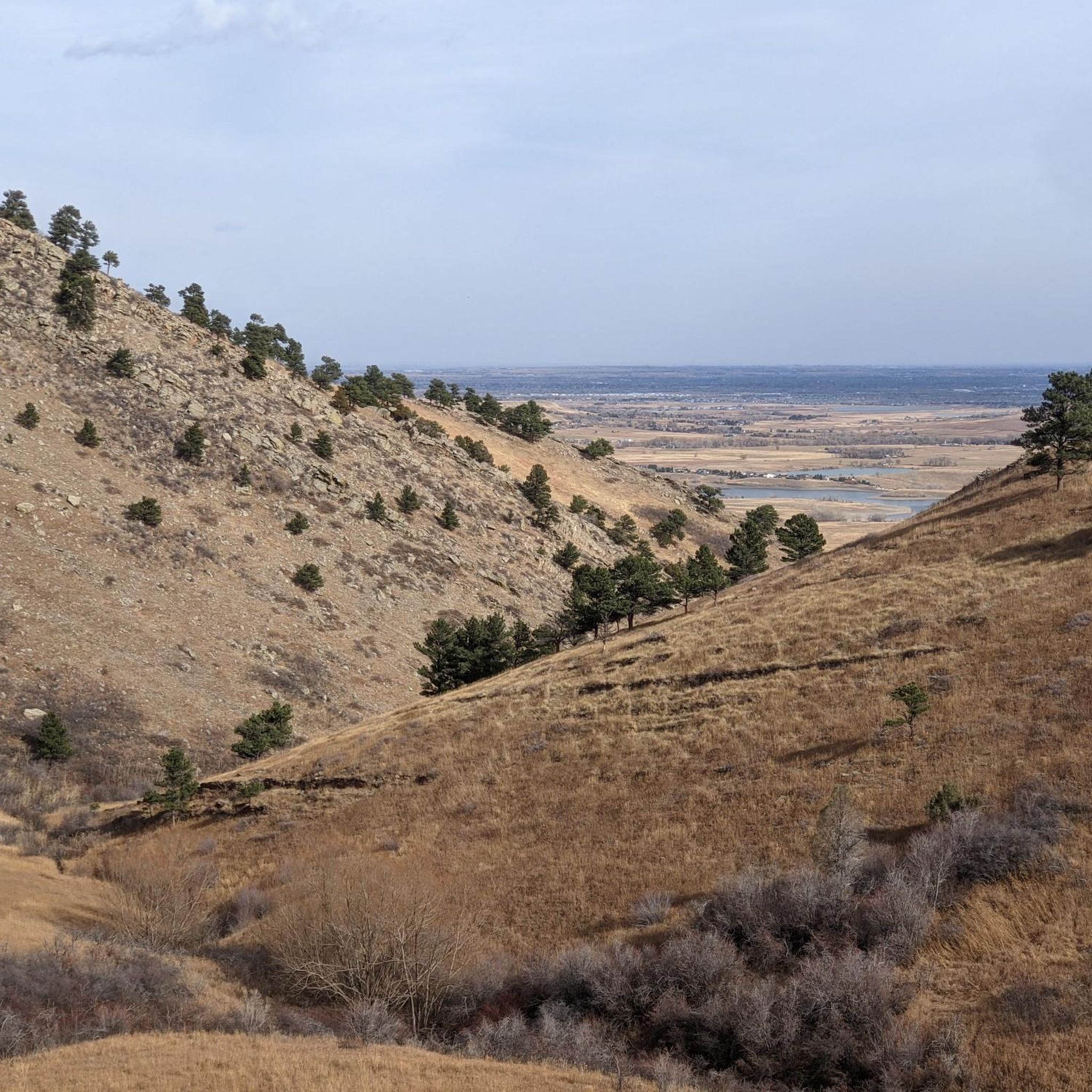
This overlook offers gorgeous views of the surrounding hills to the east and west. It's also quite rocky, so be ready for some technical riding coming and going.
0
0

Right off the popular Picture Rock Trail is an old, vintage, rusted out green car. This 1930s (!) car is somewhat of a local landmark and a fun place to stop and snap a photo or two before continuing on your hike.
0
0
The Lefthand Trailhead is the main access point for a popular system of mountain biking trails on the eastern end of Lefthand Canyon. More of a large pullout than a true trailhead with a parking lot, there are no bathrooms, picnic area, or water stations here. There are restroom facilities just a little down the road east of here at Buckingham Park if you need them.
0
0
The Lefthand Trailhead is the main access point for a popular system of hiking and mountain biking trails on the eastern end of Lefthand Canyon. More of a large pullout than a true trailhead with a parking lot, there are no bathrooms, picnic area, or water stations here. There are restroom facilities just a little down the road east of here at Buckingham Park if you need them.
1
0
The Corral Trailhead is right off of Lefthand Canyon Drive and is the southernmost trailhead and access point for Heil Valley Ranch. Although it is not the biggest trailhead and parking area (there are 19 parking spots, 4 horse trailer and/or bus spots, a restroom, and a picnic table), right next to the trailhead is an old corral left over from when this site was a working ranch. This is a fun place to explore and get a glimpse into the ranching history of Colorado.
0
0
Right off the popular Picture Rock Trail is an old, vintage, rusted out green car. This1930s (!) car is somewhat of a local landmark and a fun place to stop and snap a photo or two before continuing on your hike.
0
0
The Picture Rock Trailhead is one of several trailheads that grant access to the Heil Valley Ranch Open Space that spans north-south between Boulder and Lyons. At the Picture Rock Trailhead there are 25 parking spots, 3 horse trailer and/ or bus parking spots, and a restroom.
1
0
Frequently Asked Questions
How many hiking trails are available around Altona?
There are over 35 hiking trails around Altona, primarily located in the Boulder, Colorado area. These routes offer a diverse range of experiences, from gentle strolls to more challenging ascents through open spaces, ranchlands, and parts of the Roosevelt National Forest.
What types of terrain can I expect on hikes around Altona?
Hiking around Altona features varied terrain, including open ranchlands, forested canyon areas, and reservoir-side paths. You'll find a mix of natural open spaces and trails with moderate elevation gains.
Are there easy hiking options for beginners or casual walkers?
Yes, Altona offers plenty of easy hiking options. Out of the 37 available routes, 25 are classified as easy. An example is the Anne U White Trail — Boulder Open Space & Mountain Parks, which is 3.2 miles (5.1 km) long and takes about 1 hour 29 minutes to complete.
Are there any loop trails for a circular hiking experience?
Yes, several loop trails are available. For instance, the Main Lefthand Trail loop — Lefthand Canyon — Roosevelt National Forest is a moderate 5.8-mile (9.3 km) route that takes about 3 hours 10 minutes, leading through forested canyon areas.
What are some natural features or landmarks I can see while hiking in Altona?
While hiking around Altona, you can explore various natural features. Notable lakes in the area include Boulder Reservoir, Twin Lakes, and Coot Lake Dock. You might also encounter the Lagerman Agricultural Preserve and the prominent Mount Sanitas.
What do other hikers say about the trails in Altona?
The routes in Altona are highly rated by the komoot community, with an average score of 4.7 stars from over 60 reviews. Hikers often praise the diverse terrain, from open ranchlands to forested canyons, and the well-maintained paths suitable for various ability levels.
Are there any trails suitable for families with children?
Many of the easy trails around Altona are suitable for families. With 25 easy routes available, you can find paths with gentle gradients and shorter distances, perfect for an outing with children. Consider routes that explore open spaces for a relaxed family walk.
Can I find trails that offer open views?
Yes, many trails in Altona traverse open ranchlands and natural open spaces, providing expansive views. The Eagle, Sage, Hidden Valley, & Cobalt Trail loop — Boulder Valley Ranch is a great example, exploring varied terrain with open vistas.
What is the typical duration for hikes in Altona?
Hike durations vary significantly depending on the route and your pace. Easy trails like the Anne U White Trail can take around 1 hour 29 minutes, while moderate loops such as the Main Lefthand Trail loop might take over 3 hours.
Are there any trails near water bodies?
Yes, you can find trails that lead alongside or near water bodies. The Boulder Reservoir Trail — Boulder Reservoir Park is an excellent option for a reservoir-side path, offering scenic views of the water.
Are there any challenging hikes for experienced hikers?
While most trails are easy to moderate, Altona does offer a couple of more challenging routes for experienced hikers. These difficult trails provide greater elevation gains and more rugged terrain for those seeking a strenuous adventure.
Most popular attractions around Altona

Get inspired with the komoot mobile app


Explore more
Browse the best Hikes in other regions.
