The best road cycling routes around Aurora
4.5
(19)
583
riders
45
rides
Road cycling around Aurora, Colorado, features a network of routes primarily traversing urban greenways, creek-side paths, and reservoir loops. The terrain is generally flat to gently rolling, with minimal elevation changes, making it accessible for various skill levels. The region offers opportunities to cycle along established trails like the Cherry Creek Trail and Sand Creek Regional Greenway. These routes provide a mix of paved surfaces suitable for road bikes, often connecting parks and natural areas within the city's expansive landscape.
…Last updated: September 28, 2026
37
riders
Moderate road ride. Good fitness required. Some segments of this route may be unpaved and difficult to ride.
34
riders
57.0km
02:52
260m
260m
Moderate road ride. Good fitness required. Mostly well-paved surfaces and easy to ride.

4.8
(9)
49
riders
39.4km
02:04
120m
120m
Moderate road ride. Good fitness required. Mostly well-paved surfaces and easy to ride.
48
riders
65.4km
03:23
180m
180m
Moderate road ride. Good fitness required. Mostly well-paved surfaces and easy to ride.
18
riders
Hard road ride. Very good fitness required. Mostly well-paved surfaces and easy to ride.
Get access to more routes and recommendations from other explorers.
Already have an account?
Our route recommendations are based on thousands of hikes, rides, and runs completed by other people on komoot.
Start today with a free account
Your next adventure awaits.
Tips from the Community

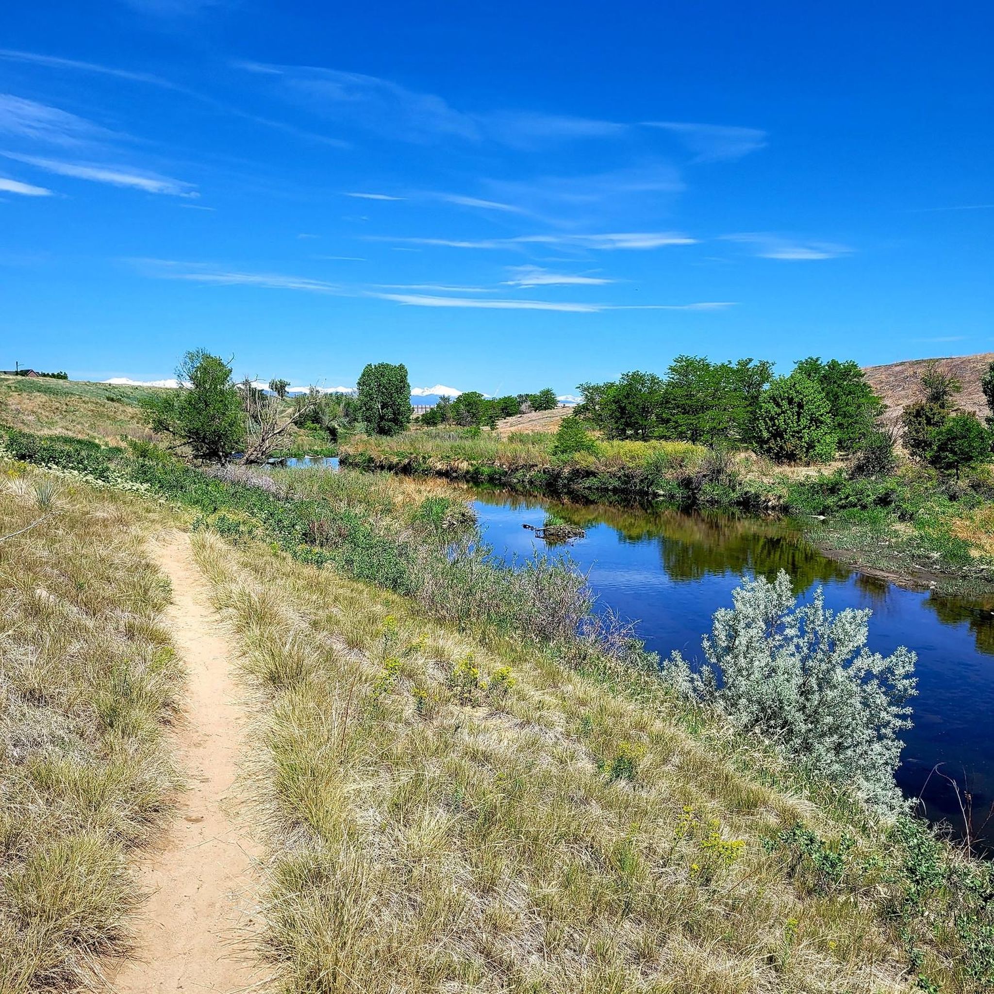
The South Platte River Trail runs for nearly 35 miles through the suburbs and city of Denver, Colorado. This paved, multi-use path is popular with runners and walkers as well as bike commuters but is also a fantastic way to explore the Denver area on a long weekend ride away from traffic. The trail provides access to numerous parks, including Chatfield State Park at its far southern end. The South Platte River Trail is part of a larger network of trails in the Denver metropolitan area, connecting to the Cherry Creek Trail and the High Line Canal Trail, among others. It offers great views of the foothills, river, and wildlife as you ride.
0
0

Great view of the South Platte River from the cycle trail. The trail is popular with walkers, runners, and cyclists, so if you want to stop to enjoy the view, make sure you pull off to the side.
0
0
Lookout Mountain is a popular climb for local cyclists and visitors. Traffic is normally light and friendly, but the climb is steep at points. However, you are rewarded at the top by wonderful views of downtown Denver.
1
0
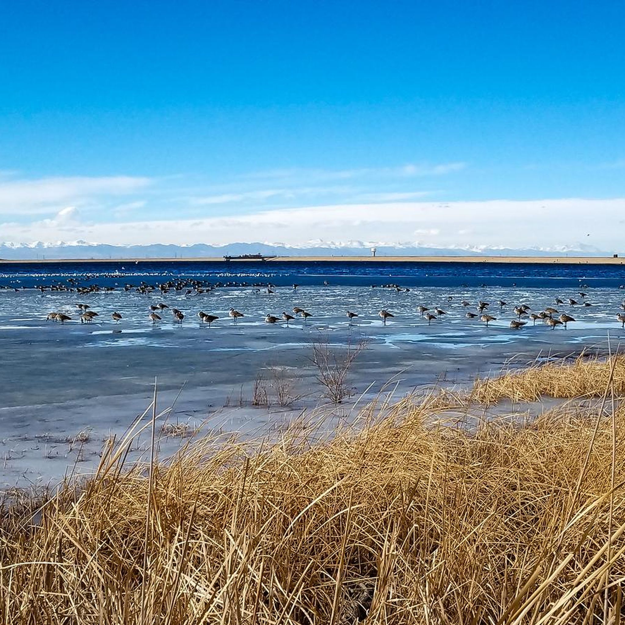
The Lowell Ponds Wildlife Area in northwest Denver encompasses approximately 43 acres of warm-water ponds and riparian habitats. These ponds are home to species such as largemouth bass, smallmouth bass, channel catfish, bluegill, crappie, and bullhead catfish. Boating is prohibited to protect the habitat. In addition to fishing, Lowell Ponds is a nice spot for picnicking, hiking, and wildlife viewing. The site known for birdwatching, especially during migration periods when the ponds attract various waterfowl species.
2
0
Cherry Creek State Park, in Denver, Colorado is a large, popular park right in the heart of the city. There is an 880-acre reservoir where you can boat, fish, paddleboard, and swim. The park has over 35 miles of multi-use trails for hiking, biking, and horseback riding, and the popular Cherry Creek Trail runs right through it, connecting the park with other locations and trails in the area. Facilities include multiple parking areas and trailheads, picnic areas, restrooms, a marina, and an off-leash dog area.
1
0

Railbender Park is a fantastic skate and tennis park. It's an ideal spot to take a break from your bike ride and watch the skateboarders in action. The park also features picnic benches and ample parking. If you're planning a longer ride on the Cherry Creek Trail, Railbender Park offers direct access to the trail, making it a great place to start or end your journey.
0
0

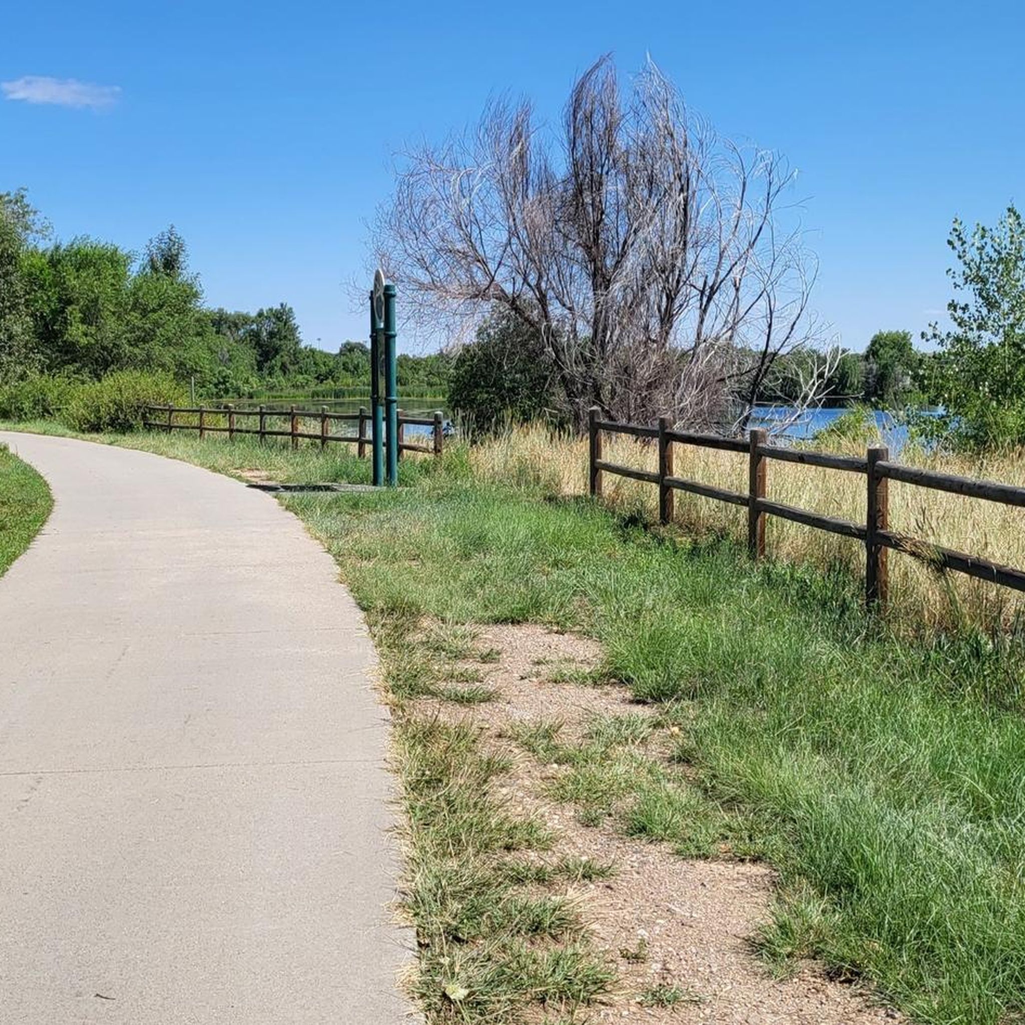
The Cherry Creek Trail is paved and smooth the entire way. The entire path totals nearly 40 miles and is really popular for biking. It's utilized as a commuter trail so plan on seeing many others out on the trail.
0
0
Hidden Mesa Open Space offers miles of paved and off-road trails that are open to lots of different trail users. Most all the trails offer open views, and you can access these trails from a number of different trailheads and parking lots. The trails are marked well, and it's easy to make different routes and loops.
0
0
Frequently Asked Questions
How many road cycling routes are available around Aurora?
Aurora offers a wide selection of road cycling routes, with over 45 tours available on komoot. These routes cater to various skill levels, from easy rides to more moderate distances.
What kind of terrain can I expect on road cycling routes in Aurora?
Road cycling around Aurora primarily features urban greenways, creek-side paths, and scenic reservoir loops. The terrain is generally flat to gently rolling, with minimal elevation changes, making it accessible for a range of cyclists.
Are there easy road cycling routes suitable for beginners in Aurora?
Yes, Aurora has 9 easy road cycling routes, perfect for beginners or those looking for a relaxed ride. These routes often follow established trails with paved surfaces, providing a comfortable experience.
Are there any longer or more challenging road cycling routes for experienced riders?
For more experienced riders, Aurora offers 36 moderate road cycling routes and 1 difficult route. A notable longer option is the Cherry Creek Trail – Cherry Creek Park loop from Smoky Hill Trail Historic Marker, which spans over 50 miles.
What are some popular loop road cycling routes in Aurora?
Many of Aurora's road cycling routes are designed as loops, offering convenient starting and ending points. Popular options include the Cherry Creek Trail North – Smith Lake and Lily Pond loop from Iliff and the Aurora Reservoir – Swim Beach at Aurora Reservoir loop from Smoky Hill Trail Historic Marker.
What can I see along the road cycling routes in Aurora?
Many routes offer scenic views of natural areas and connect to local attractions. You can cycle past beautiful spots like Marjorie Perry Nature Preserve or enjoy the surroundings of Bluff Lake Park. Some routes also provide access to the Mid section of Platte River Trail.
Are there any road cycling routes that pass by cafes or places to stop for refreshments?
Yes, some routes, like the Sand Creek Regional Greenway – Prodigy Coffeehouse loop from Fitzsimons, are designed to pass by local establishments, offering convenient stops for coffee or a snack during your ride.
What do other road cyclists enjoy the most about road cycling in Aurora?
The road cycling routes in Aurora are highly rated by the komoot community, with an average score of 4.4 stars from over 16 reviews. Cyclists often praise the well-maintained paved surfaces, the accessibility of the trails, and the pleasant mix of urban and natural landscapes.
What is the best time of year for road biking in Aurora?
The spring, summer, and fall months generally offer the most pleasant conditions for road biking in Aurora, with mild temperatures and less chance of snow. However, many trails are accessible year-round, weather permitting.
Are there any road cycling routes that offer views of lakes or reservoirs?
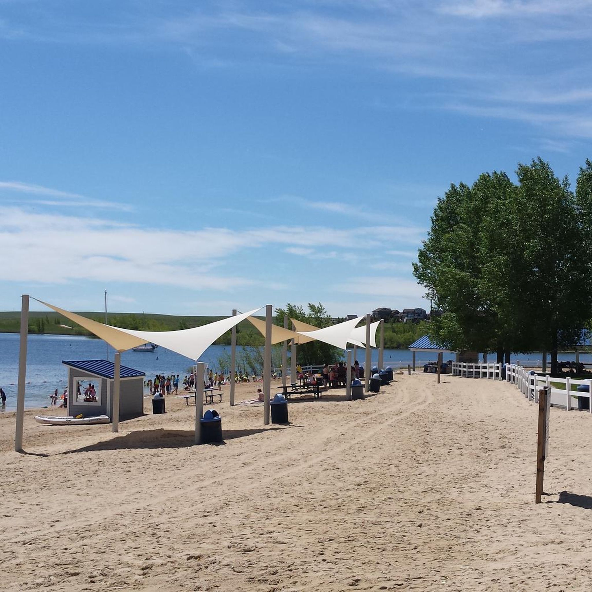
Absolutely. The Aurora area is known for its reservoir loops. The Aurora Reservoir – Swim Beach at Aurora Reservoir loop from Smoky Hill Trail Historic Marker is a prime example, offering beautiful views of the Aurora Reservoir.
Where can I find parking for road cycling trails in Aurora?
Many of Aurora's road cycling routes, especially those along greenways and around reservoirs, have designated parking areas at their trailheads or nearby parks. Specific parking information is often available on individual route pages on komoot.
Most popular routes around Aurora
Most popular attractions around Aurora

Get inspired with the komoot mobile app


Explore more
Browse the best Road cycling routes in other regions.
