The best running trails around Gehspitzweiher
4.4
(2382)
72,697
runners
879
runs
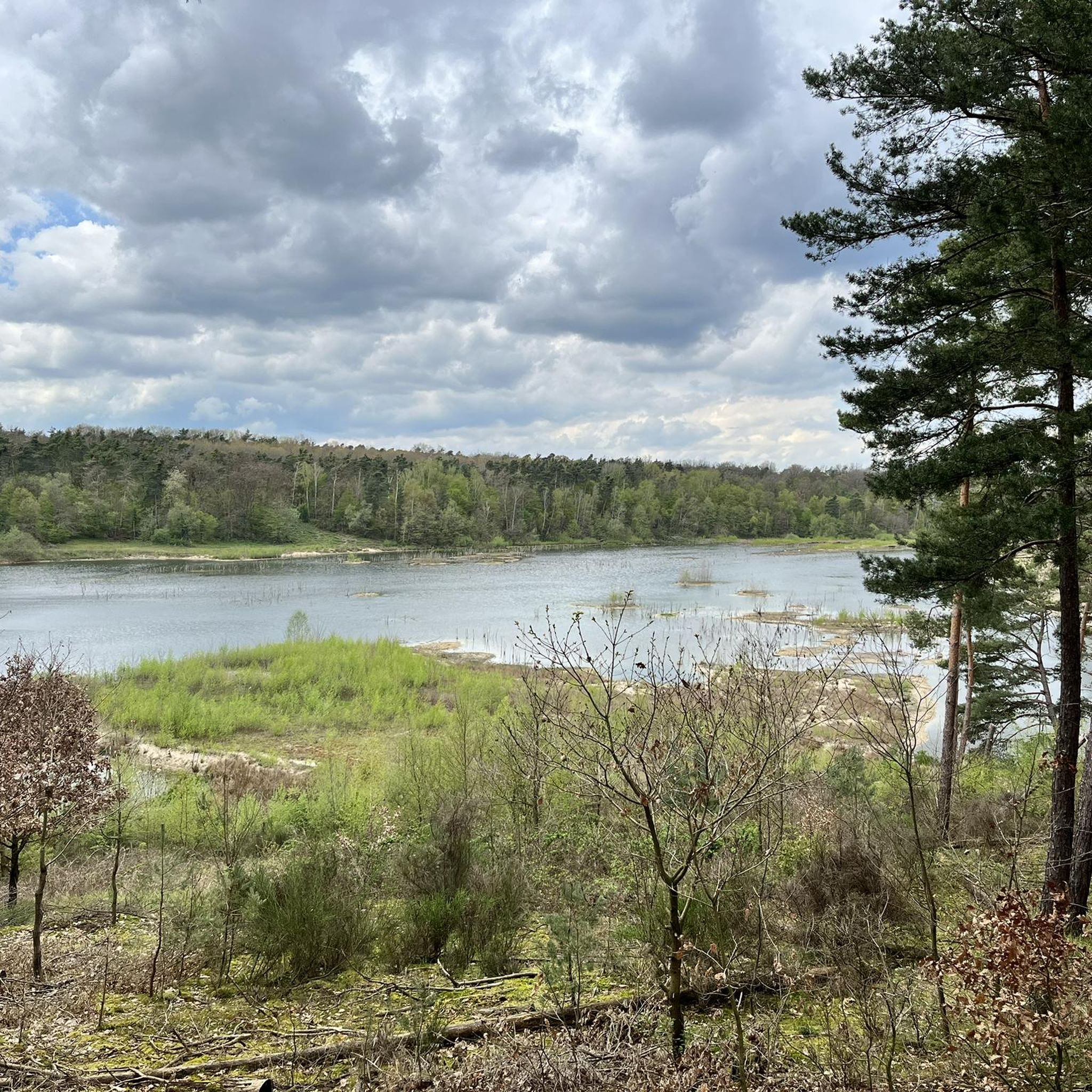
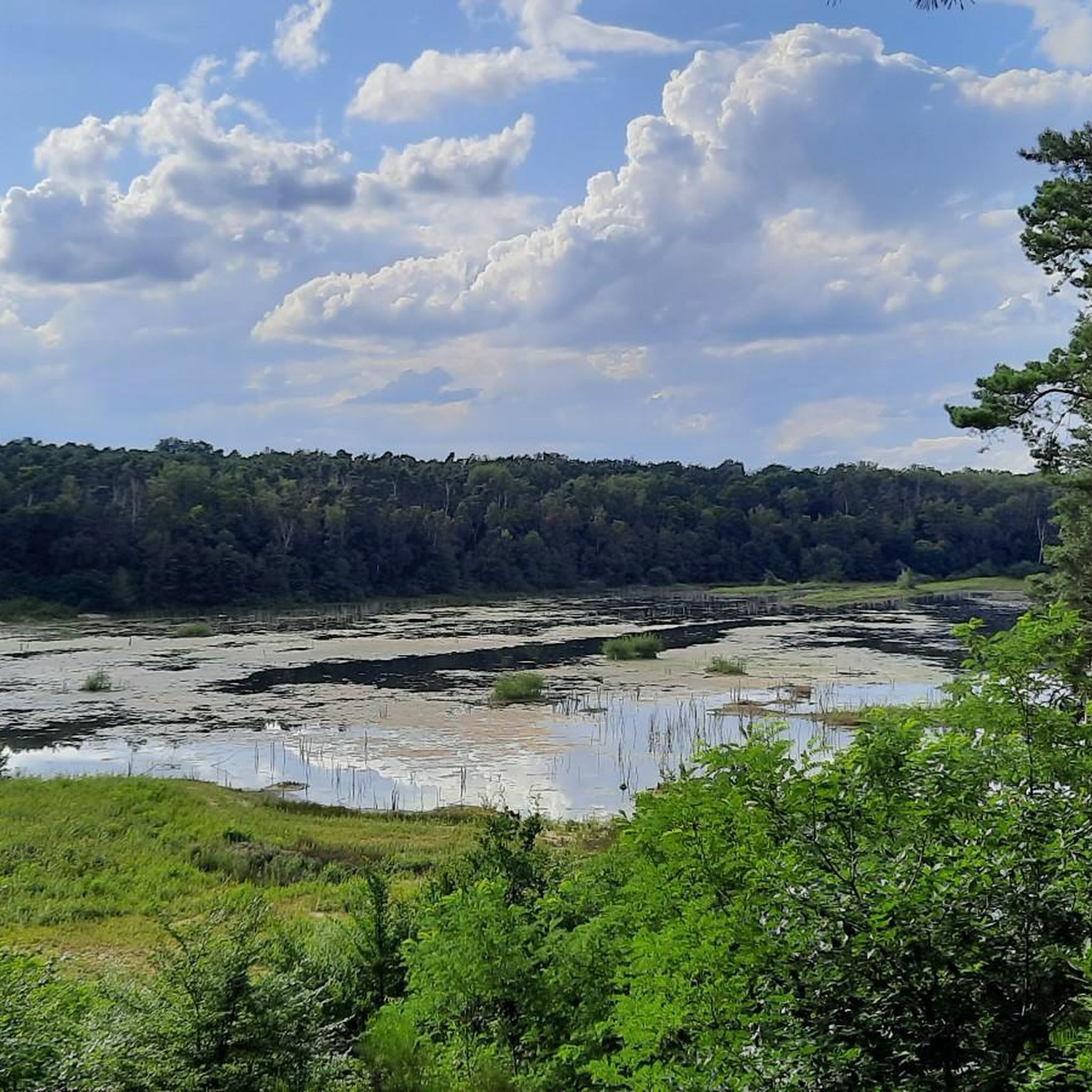
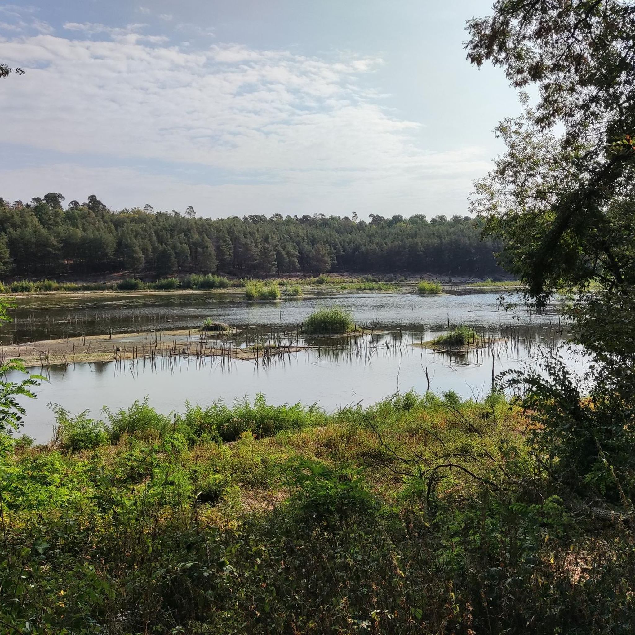
Jogging around Gehspitzweiher offers varied terrain within a nature reserve, characterized by mixed forests and the central Gehspitzweiher pond. The area's history as a former quarry contributes to a unique landscape, with ground levels approximately 20 meters below the surrounding terrain. An extensive network of trails provides options for exploring this rich natural habitat.
Best jogging routes around Gehspitzweiher
- The most popular jogging route is Gehspitzweiher Nature Reserve – Gehspitz Pond loop from Neu-Isenburg, a 2.0 miles (3.3 km) trail that takes about 20 minutes to complete. This easy route circles the Gehspitzweiher pond within the nature reserve.
- Another top favourite among local runners is Small forest pond – Hengstbach Trail loop from Neu-Isenburg, a moderate 6.9 miles (11.1 km) path. This route explores the mixed forests and includes a small forest pond.
- Local runners also love the Stadtwaldhütte Shelter loop from Dreieich-Buchschlag, a 5.9 miles (9.6 km) trail leading through dense woodlands, often completed in about 1 hour.
- Jogging around Gehspitzweiher is defined by mixed forests, the Gehspitzweiher pond, and varied terrain from its former quarry origins. The extensive network of routes offers options for different ability levels, from easy loops to moderate paths.
- The routes in Gehspitzweiher are highly rated by the komoot community with an average score of 4.4 stars from over 2,200 reviews. More than 69,000 runners have used komoot to explore Gehspitzweiher's varied terrain.
Last updated: July 1, 2026
10
runners
3.27km
00:20
20m
20m
Easy run. Great for any fitness level. Mostly paved surfaces. Suitable for all skill levels.
27
runners
11.1km
01:10
30m
30m
Moderate run. Good fitness required. Mostly paved surfaces. Suitable for all skill levels.

Sign up for free
26
runners
Moderate run. Good fitness required. Mostly paved surfaces. Suitable for all skill levels.
25
runners
5.79km
00:37
20m
20m
Moderate run. Good fitness required. Mostly paved surfaces. Suitable for all skill levels.
20
runners
Moderate run. Good fitness required. Mostly paved surfaces. Suitable for all skill levels.
Get access to more routes and recommendations from other explorers.
Sign up for free
Already have an account?
Our route recommendations are based on thousands of hikes, rides, and runs completed by other people on komoot.
Start today with a free account
Your next adventure awaits.
Login or Signup
Tips from the Community

Perfect cycle path with a beautiful view of the Gehspitzweiher.
0
0

Historical BackgroundThe Old Territorial Border: The trail makes visible an old territorial border that ran through the landscape between 1600 and 1816. It separated the territory of the Principality of Isenburg (Ysenburg) from the Landgraviate of Hesse-Darmstadt.Route: The historical border line extends from the southern edge of the Frankfurt City Forest at the so-called Gehspitz, across the Mitteldicker Wald, past present-day Dreieich-Buchschlag, through the Langener Mühltal, to Koberstadt in the Haag near Dreieichenhain.Special Features and Sights Along the TrailHistorical Boundary Stones: Along the trail, hikers pass numerous well-preserved historical boundary stones. Particularly striking are twelve large boundary stones set in 1783, as well as artful coat-of-arms stones on the border with Koberstadt, Hanau.Medieval Landwehr: A section is dedicated to the historical Dreieich Ring Landwehr at Buch-Schlag. Near Hainer Trift, a part of this medieval rampart, including its boundary ditch and a symbolic wooden barrier, has been reconstructed.Nature and Water Bodies: The trail connects dense forest areas with scenic highlights. For example, one section leads along the Isenburger Weg through Hochwald and past the northeastern shore of the Holzmann pond.
6
0

"Border crossing" in connection with the old Dreieich ring fortification. Near the crossing, the old structures of the ring fortification (including old boundary stones) are still clearly visible.
0
0

It's usually pleasant to cycle here.
1
0

DreyEicher Grenzweg Stone No. 30
1
0
The underpass is covered with new graffiti at irregular intervals. These aren't the usual "scribbles," but rather some truly well-executed images. The current deer is truly impressive.
0
0

I love the views of the skyline. Here, with the tracks in the foreground, it's a beautiful photo opportunity.
0
0

A beautiful spot for a view of the Frankfurt skyline. It's always a pleasure to drive over the bridge and wonder what the view of Frankfurt will be like.
0
0
Frequently Asked Questions
How many running routes are available around Gehspitzweiher?
The Gehspitzweiher area offers a comprehensive network of over 850 running routes. This includes a wide variety of options, from easy loops to more challenging paths, ensuring there's something for every runner.
What kind of terrain can I expect on the jogging trails in Gehspitzweiher?
Jogging around Gehspitzweiher provides a diverse experience. You'll find yourself running through refreshing mixed forests, alongside the picturesque Gehspitzweiher pond, and across varied terrain shaped by the area's history as a former quarry. The ground level of the former quarry lies approximately 20 meters below the surrounding terrain, adding to the unique landscape.
Are there easy running routes suitable for beginners or a relaxed jog?
Yes, Gehspitzweiher has plenty of easy routes perfect for beginners or those looking for a relaxed jog. There are around 90 easy routes available. A great option is the Gehspitzweiher Nature Reserve – Gehspitz Pond loop from Neu-Isenburg, an easy 3.3 km trail that circles the pond.
Can I find longer running routes for a more challenging workout?
Absolutely. For a more challenging workout, you can explore the numerous moderate and difficult routes. There are over 680 moderate routes and about 70 difficult ones. Consider the Small forest pond – Hengstbach Trail loop from Neu-Isenburg, a moderate 11.1 km path that delves deeper into the mixed forests.
What do other runners enjoy most about jogging in Gehspitzweiher?
The komoot community highly rates the running trails around Gehspitzweiher, with an average score of 4.4 stars from over 2,200 reviews. Runners often praise the area's beautiful mixed forests, the scenic views of the Gehspitzweiher pond, and the well-maintained, varied trail network that caters to all skill levels.
Are there any notable natural features or viewpoints along the running routes?
Yes, the Gehspitzweiher area is rich in natural features. You'll encounter the central Gehspitzweiher pond, surrounded by mixed forests. The area is also known for its rich biodiversity, including nearly 100 bird species. For scenic views, there's a View of Gehspitzweiher highlight, offering picturesque perspectives of the water body.
Are the running trails around Gehspitzweiher suitable for families?
Many of the trails around Gehspitzweiher are suitable for families, especially the easier, shorter loops. The diverse natural environment, with its forests and pond, offers an engaging backdrop for children. Always check the route's difficulty and length to ensure it matches your family's capabilities.
Are dogs allowed on the running trails in Gehspitzweiher?
As a nature reserve, Gehspitzweiher generally welcomes dogs, but they must be kept on a leash to protect the local wildlife and ensure a pleasant experience for all visitors. Always be mindful of local regulations and signage.
Are there circular running routes available?
Yes, the Gehspitzweiher area is well-known for its extensive network of circular trails, which are ideal for runners. Many routes, like the View of Gehspitzweiher loop from Dreieich-Buchschlag, are designed as loops, allowing you to start and finish at the same point without retracing your steps.
What is the best time of year to go jogging in Gehspitzweiher?
Gehspitzweiher offers a pleasant jogging experience year-round. Spring brings fresh greenery and blooming flora, while autumn showcases vibrant fall colors in the mixed forests. Summer is great for early morning or late evening runs, and even winter can be beautiful with a dusting of snow, though some paths might be slippery. The extensive tree cover provides shade during warmer months.
Are there any facilities or places to eat near the running trails?
While the nature reserve itself is primarily natural, the surrounding towns like Neu-Isenburg and Dreieich-Buchschlag offer various cafes and restaurants where you can refuel after your run. It's advisable to check local listings for specific establishments and their opening hours.
How accessible is Gehspitzweiher by public transport?
Gehspitzweiher is reasonably accessible by public transport, particularly from nearby towns like Neu-Isenburg. There are bus routes that can bring you close to the nature reserve's entrances. It's recommended to check local bus schedules and routes for the most up-to-date information on getting there.
Are there parking options available for runners?
Yes, there are parking options available near the entrances to the Gehspitzweiher nature reserve, especially in the vicinity of Zeppelinheim and Neu-Isenburg. These parking areas provide convenient access to the trail network for runners arriving by car.
Most popular routes around Gehspitzweiher
Most popular attractions around Gehspitzweiher

Get inspired with the komoot mobile app


Explore more
Browse the best Running Trails & Routes in other regions.
