The best road cycling routes around Morrison
4.7
(54)
4,164
riders
19
rides
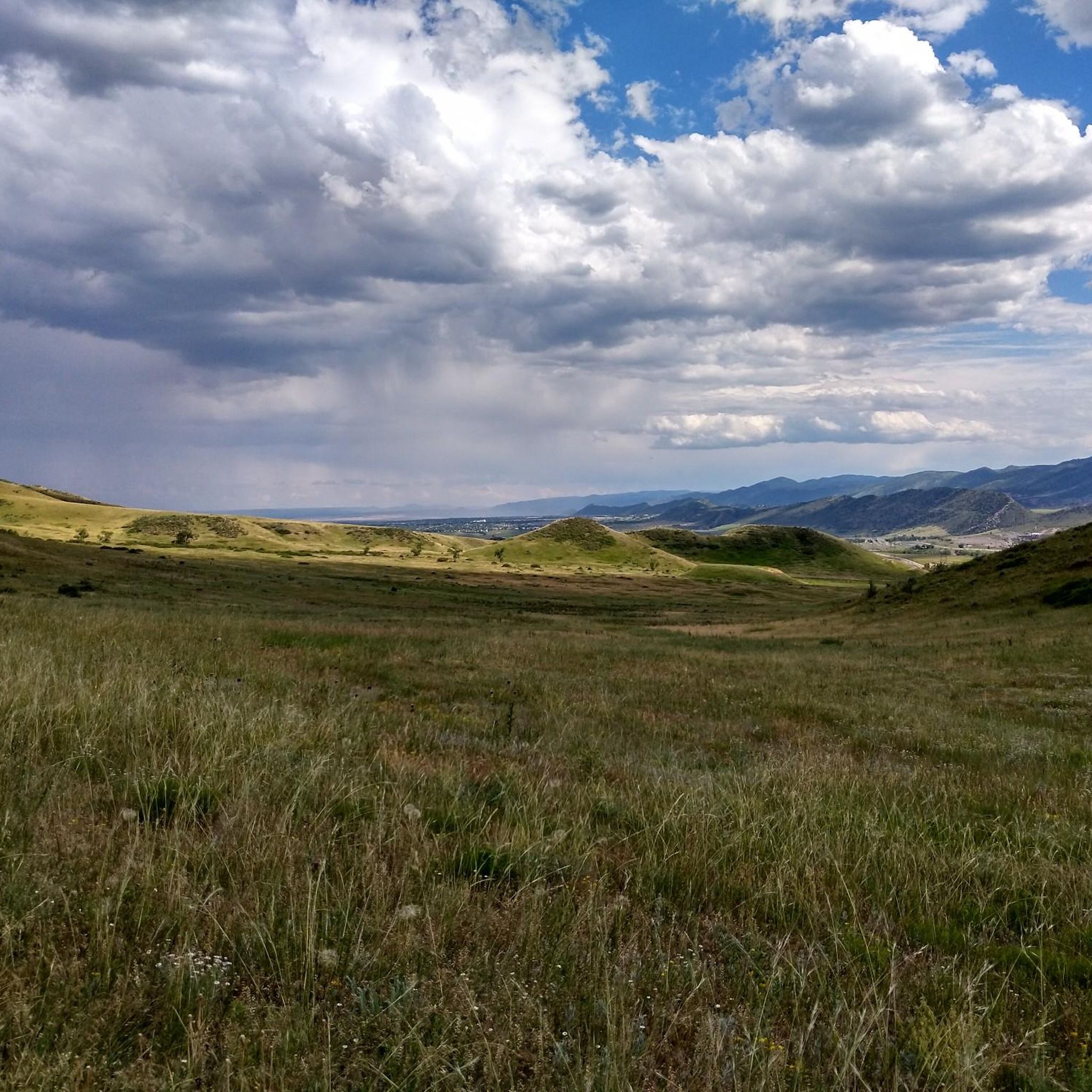
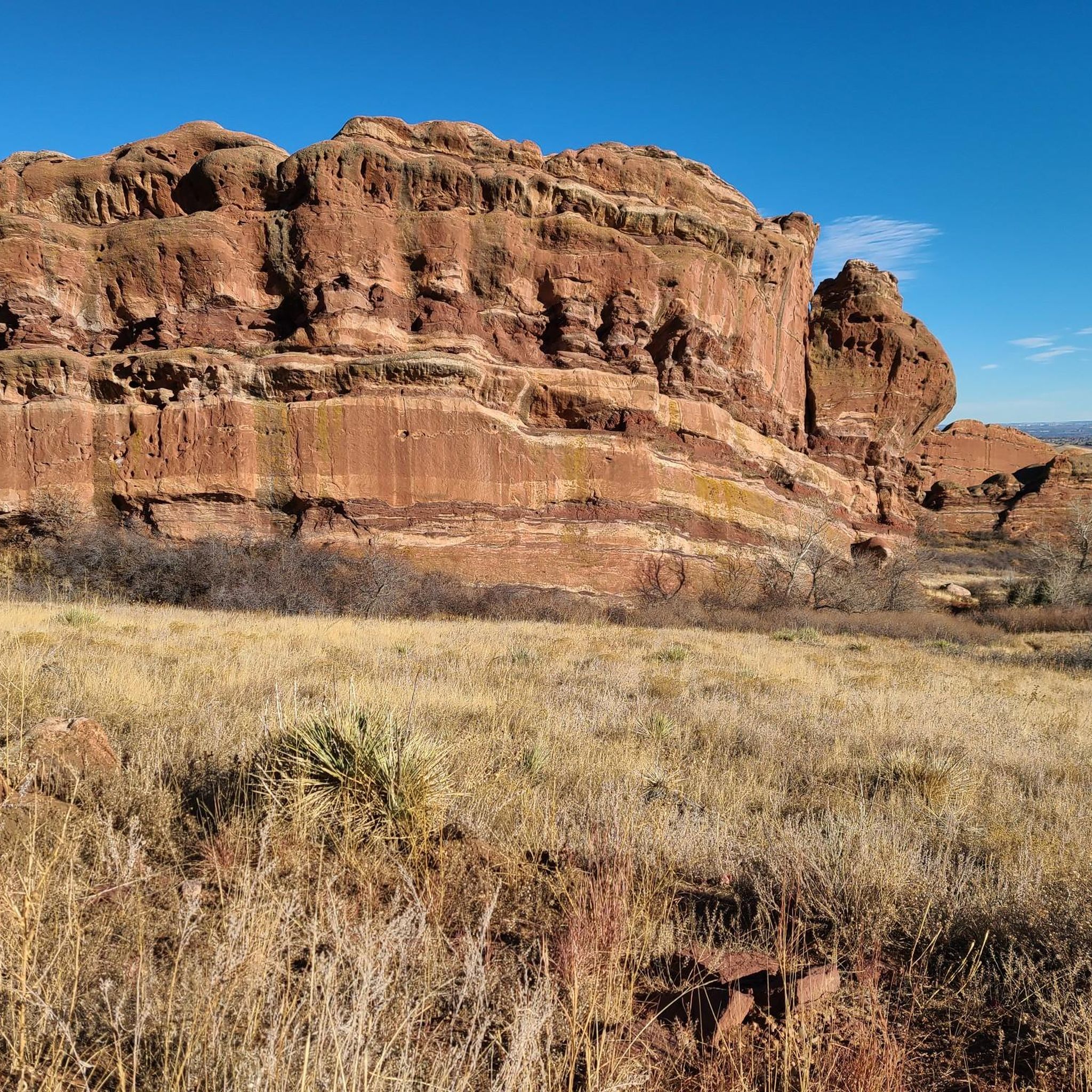
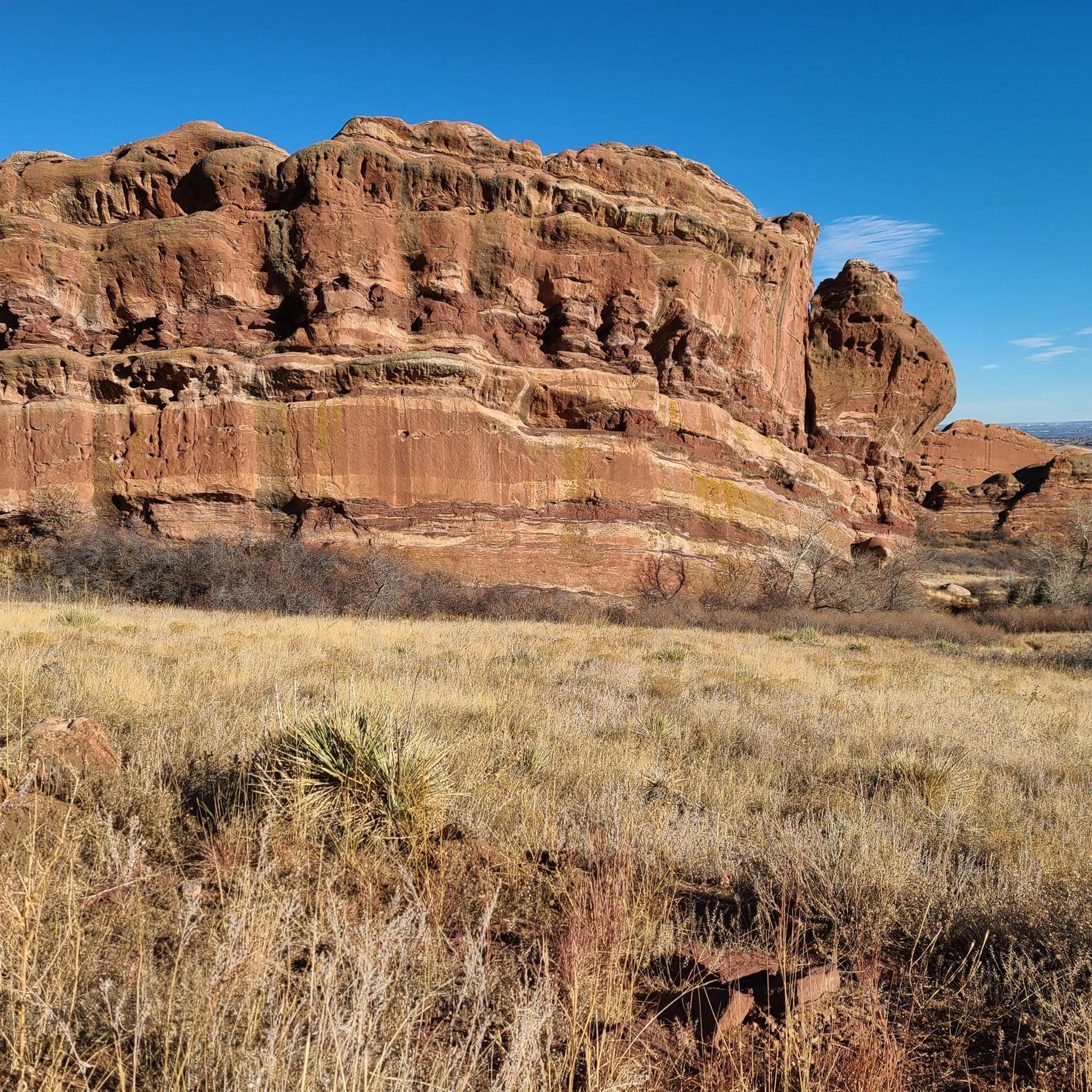
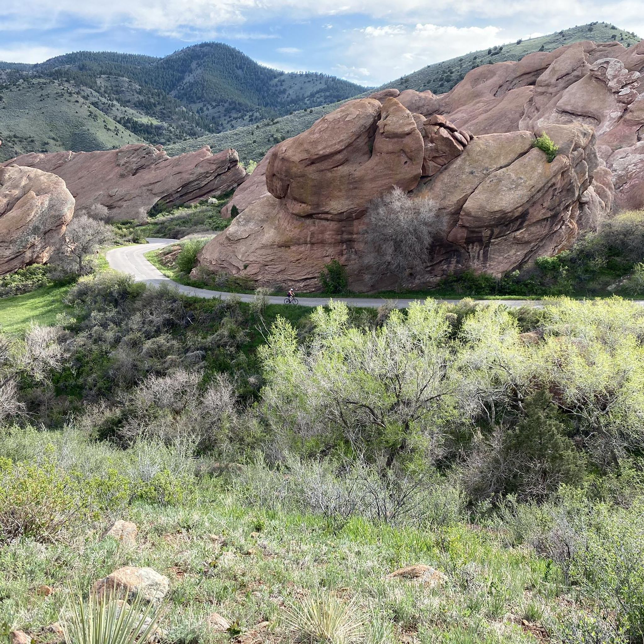
Road cycling routes around Morrison are situated at the base of the Rocky Mountain foothills, offering diverse terrain for cyclists. The region is characterized by significant red sandstone formations, such as those found at Red Rocks Park, and the scenic Bear Creek Canyon. Cyclists can navigate routes that feature both gentle paths and challenging climbs, often on well-paved surfaces. This landscape provides a variety of road cycling experiences, from flat reservoir loops to routes with notable elevation changes.
Best road cycling routes around Morrison
- The most popular road cycling route is South Platte Reservoir – Bear Creek Lake loop from Morrison, a 38.1 miles (61.4 km) trail that takes 3 hours 10 minutes to complete. This moderate route features well-paved surfaces and views of local reservoirs.
- Another top favourite among local road cyclists is Dinosaur Ridge Viewpoint – Apatosaurus Bulges loop from Morrison, a moderate 21.9 miles (35.2 km) path. This route offers mostly paved surfaces and passes the notable Dinosaur Ridge paleontological site.
- Local road cyclists also love the Bear Creek Lake – Bridge over South Platte River loop from Morrison, a 25.6 miles (41.3 km) trail leading through areas around Bear Creek Lake, often completed in about 2 hours 3 minutes.
- Road cycling around Morrison is defined by Rocky Mountain foothills, red sandstone formations, and the scenic Bear Creek Canyon. The network offers options for various ability levels, from easy loops to more challenging climbs.
- The routes in Morrison are highly rated by the komoot community with an average score of 4.8 stars from more than 20 reviews. More than 1,500 road cyclists have used komoot to explore Morrison's varied terrain.
Last updated: May 30, 2026
4.8
(5)
142
riders
61.3km
03:10
260m
260m
Moderate road ride. Good fitness required. Some segments of this route may be unpaved and difficult to ride.
282
riders
63.8km
03:21
910m
910m
Hard road ride. Very good fitness required. Mostly well-paved surfaces and easy to ride.

Sign up for free
78
riders
101km
04:59
1,140m
1,140m
Hard road ride. Very good fitness required. Some segments of this route may be unpaved and difficult to ride.
10
riders
19.6km
01:08
170m
170m
Easy road ride. Great for any fitness level. Mostly well-paved surfaces and easy to ride.
11
riders
Moderate road ride. Great for any fitness level. Some segments of this route may be unpaved and difficult to ride.
Get access to more routes and recommendations from other explorers.
Sign up for free
Already have an account?
Our route recommendations are based on thousands of hikes, rides, and runs completed by other people on komoot.
Start today with a free account
Your next adventure awaits.
Login or Signup

Tips from the Community

Bear Creek Lake is a 40-acre artificial reservoir with plenty of outdoor options. You’ll find a boat launch, fishing pier, swimming beach, and rental boats during the warmer months. Located within Bear Creek Lake Park, the area is also known for its wildlife, with chances to spot deer, foxes, and plenty of birds.
1
0

The Chatfield Reservoir is a 1,423-acre lake in Chatfield State Park. There is a hiking path that runs alongside the water.
0
0
Lookout Mountain is a popular climb for local cyclists and visitors. Traffic is normally light and friendly, but the climb is steep at points. However, you are rewarded at the top by wonderful views of downtown Denver.
0
0

Bear Creek Lake Park spans 2,624 acres and is a great spot for hiking, biking, and horseback riding, as well as swimming, fishing, and boating year-round recreation. Open from April 1 to October 31, the campground is one of the closest full-service options near Denver. Visitors can also enjoy picnic shelters, paved and unpaved trails, an archery range, and scenic reservoirs.
1
0

Was definitely an unexpected highlight 👍🏼🇺🇲
0
0

Pretty ride for miles through suburbia but you don’t feel like you are in suburbia. Mostly natural along the creek and in the forest.
0
0
Great stop on the Platte River Trail, good coffer, place to sit and relx
1
0

The South Platte River is one of the two main tributaries of the Platte River. The river starts in South Park and ends when it joins the North Platte River south of Ogallala, Nebraska.
0
0
Frequently Asked Questions
What kind of terrain can I expect on road cycling routes around Morrison?
Road cycling routes around Morrison offer a diverse range of terrain, from gentle paths to challenging climbs. The area is situated at the base of the Rocky Mountain foothills, featuring significant red sandstone formations and the scenic Bear Creek Canyon. Most routes are on well-paved surfaces, providing a variety of experiences from flat reservoir loops to routes with notable elevation changes.
Are there road cycling routes suitable for beginners or families in Morrison?
Yes, Morrison offers several easier road cycling routes perfect for beginners or families. For instance, the Big Soda Lake – Bear Creek Lake loop from Morrison is an easy, largely paved route accessible for all fitness levels, leading through areas around Big Soda Lake and Bear Creek Lake.
What are some challenging road cycling routes for experienced riders in Morrison?
For experienced riders seeking a challenge, Morrison offers routes with significant elevation changes. The Bridge into Golden – Dinosaur Ridge Viewpoint loop from Morrison is a moderate route with over 660 meters of elevation gain. Additionally, the Dinosaur Ridge Viewpoint – Apatosaurus Bulges loop from Morrison also presents a moderate challenge with nearly 700 meters of ascent. Longer versions of routes, such as those extending the South Platte Reservoir loop, can also offer up to 3,000 feet of elevation gain.
What natural features or landmarks can I see while road cycling in Morrison?
Morrison's road cycling routes pass by several notable natural features and landmarks. You can cycle near the iconic Red Rocks Park and Amphitheatre, famous for its massive red sandstone formations. Many routes also traverse Bear Creek Lake and Big Soda Lake. The Bridge into Golden – Dinosaur Ridge Viewpoint loop from Morrison passes by Dinosaur Ridge, a significant paleontological site with dinosaur tracks.
Are there any scenic viewpoints along the road cycling routes?
Yes, Morrison offers several scenic viewpoints. The Bridge into Golden – Dinosaur Ridge Viewpoint loop from Morrison and the Dinosaur Ridge Viewpoint – Apatosaurus Bulges loop from Morrison both feature views of Dinosaur Ridge. You can also find stunning vistas from Lookout Mountain and Mount Carbon Viewpoint, which are accessible from nearby areas and offer expansive views of the surrounding landscapes.
What is the best time of year to go road cycling in Morrison?
Morrison offers excellent road cycling opportunities for much of the year. Spring and fall generally provide pleasant temperatures and beautiful scenery. Summer can be warm, so early morning rides are often preferred. Winter cycling is possible on clear days, but be mindful of potential ice or snow, especially on routes with higher elevation.
Where can I park when planning a road cycling trip in Morrison?
Parking is generally available at various access points for the road cycling routes around Morrison. Many routes start from or pass through areas like Bear Creek Lake Park, which offers parking facilities. For routes that connect to nearby towns like Golden, you can often find parking in those areas as well, providing convenient access to the extensive network of paths.
What do other road cyclists say about the routes in Morrison?
The road cycling routes in Morrison are highly regarded by the komoot community, with an average score of 4.8 stars from over 20 reviews. Cyclists often praise the variety of terrain, the well-paved surfaces, and the stunning natural backdrops, including views of reservoirs and the unique red rock formations.
Are there any long-distance road cycling loops that include Morrison?
Yes, Morrison is part of several extensive road cycling loops. The Lariat Loop National Scenic Byway, a 40-mile route, connects Morrison with beautiful mountain landscapes near the Denver metropolitan area, offering a prime road cycling experience. Cyclists can also enjoy larger loops that incorporate Morrison with nearby areas like Golden, Clear Creek, and the South Platte bike paths, as well as areas around Chatfield Reservoir and Deer Creek.
Can I find places to eat or stay in Morrison after a ride?
Morrison, though a quieter town, offers options for dining and accommodation. You can find local cafes and pubs to refuel after your ride. For a wider selection of amenities, nearby Golden or the greater Denver metropolitan area provide numerous choices for food, drinks, and lodging, all within a short drive from Morrison's cycling routes.
How many road cycling routes are available around Morrison?
There are over 15 distinct road cycling routes available around Morrison, catering to various skill levels. These include 5 easy routes, 9 moderate routes, and 2 more difficult options, ensuring there's a suitable ride for almost every cyclist.
Most popular routes around Morrison
Most popular attractions around Morrison

Get inspired with the komoot mobile app


Explore more
Browse the best Road cycling routes in other regions.
