The best walks and hikes around Yosemite West
4.7
(55)
484
hikers
15
hikes
Hikes around Yosemite West provide access to the granite landscapes and forested valleys of Yosemite National Park. The region is characterized by its proximity to major park features, with many trailheads located along Glacier Point Road and Wawona Road. The terrain includes steep ascents to viewpoints overlooking Yosemite Valley, as well as more moderate paths through pine and fir forests.
Best hiking trails around Yosemite West
- The most popular hiking route is Tunnel View and Pohono Trail to Inspiration Point…
Last updated: August 18, 2026
4.0
(3)
34
hikers
10.9km
03:01
200m
170m
This moderate 6.8-mile winter hike to Dewey Point in Yosemite offers panoramic views of Half Dome and El Capitan.
5.0
(5)
30
hikers
11.8km
04:26
860m
720m
Hike the Stanford Point Trail in Yosemite National Park for 7.3 miles (11.8 km) to gain 2809 feet (856 metres) and see epic valley views.

Sign up for free
5.0
(1)
10
hikers
2.07km
00:54
300m
10m
Embark on the Inspiration Point Trail for an easy hike that quickly immerses you in Yosemite's grandeur. This route, though only 1.3 miles (2.1 km) long, packs a punch with…
5.0
(1)
4
hikers
1.86km
00:42
150m
70m
Embark on the Artist Point Trail for an easy hike offering spectacular views of Yosemite Valley, reminiscent of Tunnel View but from a quieter, elevated spot. This route spans 1.2…
9
hikers
15.2km
04:37
500m
550m
Hike 9.4 miles (15.2 km) to Dewey, Crocker, and Stanford Points in Yosemite National Park, a moderate route with 1638 feet (499 metres) elev
Get access to more routes and recommendations from other explorers.
Sign up for free
Already have an account?
Our route recommendations are based on thousands of hikes, rides, and runs completed by other people on komoot.
Start today with a free account
Your next adventure awaits.
Login or Signup
Popular around Yosemite West
Tips from the Community

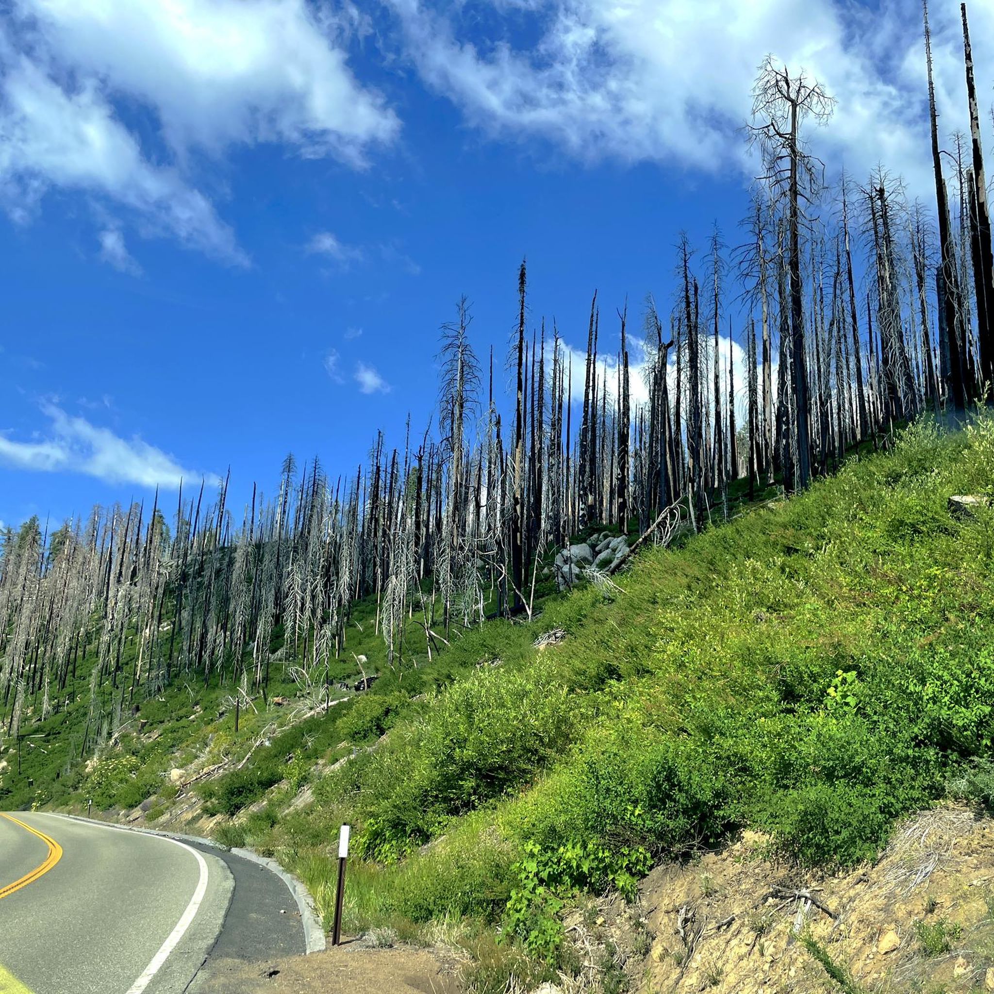
Beautiful trail, densely wooded, with some rough paths and fallen trees. Bear droppings spotted—be careful!
0
0

Dewey Point is a stupendous place to end your adventure. This is a great route with some solid views of Yosemite Valley and El Capitan at the end. Bring water since there’s none on the way. The views at Dewey Point are definitely worth it!
0
0

Depending on which way you're heading this could be your first, or last, view of Yosemite Valley. Regardless of direction you'll want to stop and savour the incredible view.
1
0


Inspiration Point offers another take on the sweeping views that make Tunnel View, down below, such a popular viewpoint for taking in Yosemite Valley. That said, you're also going to have more trees in the way here — so you might need to wander around a little bit to find the best vantages on those million-dollar views.
1
0


A good and quiet place to have a view on the El Capitan
0
1
Frequently Asked Questions
How do I get to trailheads from Yosemite West?
Yosemite West's main advantage is its location. Most trailheads are a short drive away, primarily along Glacier Point Road and Wawona Road (Highway 41). For example, trailheads for Sentinel Dome and Taft Point are easily accessible from Glacier Point Road. For trails starting in Yosemite Valley, it's a scenic drive down into the valley floor. Always check road conditions, as Glacier Point Road closes in winter.
Are there any easy, family-friendly hikes near Yosemite West?
Yes, the area offers several great options for families. In Yosemite Valley, the Cook's Meadow Loop is a flat, 1-mile walk with iconic views of Yosemite Falls and Half Dome. Another excellent choice is the paved, 1.2-mile Lower Yosemite Falls Trail, which takes you right to the base of the impressive waterfall. Both are short drives from Yosemite West.
What's a good option for a challenging day hike?
For a strenuous but rewarding hike, consider the Inspiration Point – Stanford Point loop from Curry Village. This trail involves a significant climb but rewards you with incredible, less-common views of Yosemite Valley from the south rim. It's a great way to experience the grand scale of the park's granite cliffs.
Are there any circular walks available?
Yes, you can find some excellent loop hikes. The Tunnel View – Inspiration Point loop from Tunnel View is a popular choice that climbs from a famous viewpoint and brings you back, offering different perspectives along the way. This avoids the need to retrace your steps on a busy trail.
Where can I find hikes with great views?
Many trails near Yosemite West lead to spectacular vistas. The hike to Sentinel Dome and Taft Point (accessible from Glacier Point Road) offers 360-degree panoramas of the High Sierra and dramatic, sheer drops to the valley floor. For the classic postcard view, the short but steep trail to Artist Point provides a less crowded perspective of the iconic Tunnel View scene.
Can I see waterfalls on hikes near Yosemite West?
Absolutely. While many famous waterfalls are in Yosemite Valley, you can hike to see them. The Panorama Trail (starting from Glacier Point) is a world-class hike that takes you past Illilouette, Vernal, and Nevada Falls. For a powerful experience, the Mist Trail in Yosemite Valley gets you incredibly close to Vernal and Nevada Falls. Peak flow for waterfalls is typically in spring and early summer.
What is hiking like in Yosemite West during winter?
Winter hiking is a unique experience, but it requires preparation. Many higher-elevation trails become inaccessible due to the closure of Glacier Point Road. However, trails on the Yosemite Valley floor, such as the Cook's Meadow Loop, often remain open and offer beautiful snowy landscapes. Snowshoeing or cross-country skiing become popular options, especially around the Badger Pass Ski Area.
Do I need a permit to hike in the Yosemite West area?
For day hikes, you generally do not need a permit. However, you will need to pay the park entrance fee to access any trailheads within Yosemite National Park. Permits are required for all overnight backpacking trips into the wilderness. During peak season, a reservation may be required to drive into or through the park, so always check the official National Park Service website before your visit.
Are there any less-crowded trails I can explore?
To escape the crowds, consider exploring trails away from the main hubs. The hike to McGurk Meadow, accessible from Glacier Point Road, is a quieter option that leads to a historic cabin and a peaceful meadow, which is especially beautiful with wildflowers in early summer. Generally, starting your hike early in the morning is the best strategy to enjoy popular trails with more solitude.
What do other hikers think of the trails around Yosemite West?
The region is highly regarded by the komoot community, with an average rating of 4.7 stars. Hikers frequently praise the unparalleled access to iconic viewpoints and the sheer variety of trails, from strenuous climbs up granite domes to peaceful walks through giant sequoia groves.
Can I see Giant Sequoias on a hike?
Yes, the Mariposa Grove of Giant Sequoias is a short drive south of Yosemite West on the Wawona Road. The grove contains several trails of varying difficulty that allow you to walk among these ancient, massive trees, including the famous Grizzly Giant. It's a truly awe-inspiring experience and a must-do when visiting the area.
Most popular routes around Yosemite West
Most popular attractions around Yosemite West

Get inspired with the komoot mobile app


Explore more
Browse the best Hikes in other regions.
