The best running trails around West Rancho Dominguez
4.3
(7)
454
runners
12
runs
Jogging around West Rancho Dominguez primarily involves accessible recreational opportunities within its local parks and green spaces. The terrain is generally flat, with routes featuring no significant elevation gain, making it suitable for various fitness levels. Hollydale Park stands out as a key destination, offering well-maintained trails surrounded by greenery. The community benefits from several parks that provide spaces for outdoor activities, contributing to physical well-being.
Best jogging routes around West Rancho Dominguez
- The most popular jogging route is Bluff…
Last updated: September 30, 2026
81
runners
Hard run. Very good fitness required. Mostly paved surfaces. Suitable for all skill levels.
21
runners
29.3km
03:11
200m
200m
Hard run. Very good fitness required. Mostly paved surfaces. Suitable for all skill levels.

9
runners
50.4km
05:25
520m
520m
Hard run. Very good fitness required. Mostly paved surfaces. Suitable for all skill levels.
17
runners
18.2km
02:00
100m
100m
Hard run. Very good fitness required. Mostly paved surfaces. Suitable for all skill levels.
9
runners
4.97km
00:31
10m
10m
Easy run. Great for any fitness level. Mostly paved surfaces. Suitable for all skill levels.
Get access to more routes and recommendations from other explorers.
Already have an account?
Our route recommendations are based on thousands of hikes, rides, and runs completed by other people on komoot.
Start today with a free account
Your next adventure awaits.
Popular around West Rancho Dominguez


Tips from the Community

This statue honors and remembers Tim Kelly, a locally renowned lifeguard, surfer, and youth advocate. It was dedicated in 2000.
0
0

Redondo Beach State Park, located along Pacific Coast Highway 1, offers a vibrant mix of attractions. Once a commercial port, the area now features the Redondo Pier with shops, restaurants, marinas, live music, a skate park, and a sport fishing fleet. The oceanfront esplanade is a walkway known for its stunning sunsets and scenic ocean views. King Harbor has great seafood swimming beaches, surfing, boating, and fishing. More attractions like Veterans Park, Czuleger Park, and the famous “Whaling Wall” by artist Wyland on the old power plant are just as popular as the Redondo beach.
0
0

Torrance Beach lies between Redondo Beach and Malaga Cove. The region shared by Torrance and Redondo Beaches is often called “RAT Beach” (short for “Right After Torrance” Beach or “Redondo and Torrance Beach”). This beautiful, soft sand beach has 40 acres of beach and is at the foot of cliffs which extend to the Palos Verdes Peninsula. There restrooms, a concession stand, showers, bike path, beach wheelchairs, and volleyball nets. Torrance Beach is great for swimming, fishing, scuba and skin diving, and surfing.
1
0
Dale Page Park is a small green space operated by the City of Redondo Beach. It is conveniently located next to Beach Cities Cafe and Confections and Panela’s Brazilian Cuisine. The park has basketball courts, children’s play areas, and a senior center, making it a great spot for visitors of all ages.
0
0
As you ride along Palos Verdes Drive West, look down into Bluff Cove, a scenic rocky cove popular with local surfers, scuba divers, and snorkelers braveing the shoreline. A hiking trail descends to Bluff Cove Beach, with a steeper trail leading to Flat Rock Point, where you can explore tide pools at low tide. Walking south beyond the cove takes you into Palos Verdes Estate Shoreline Preserve, continuing to Palos Verdes Point and the rusted remains of a shipwreck along the Shipwreck Hiking Trail.
1
0
Noble Park is a small park right on The Strand. The Millennium Walkway winds through this small park that is a little more than an acre in size. This is a popular place for kids to learn how to ride a bike before graduating to the strand. There are tall palm trees here and a few grassy hills, but not much else. It's small and a nice stop along a beach ride.
0
0
Torrance Beach sometimes goes by another name: locals call the last sandy stretch before the Palos Verdes cliffs "RAT" Beach, meaning "Right After Torrance." Torrance Beach, nestled between Redondo Beach and Malaga Cove, features 40 acres of soft sand at the base of cliffs extending to the Palos Verdes Peninsula. With over 300 parking spaces, many at the end of the Esplinade, the beach offers restrooms, showers, a concession stand, bike paths, and volleyball nets. It's a popular spot for swimming, fishing, scuba diving, and surfing.
0
0

Wonderfully soft sand and water that only gets deeper slowly. Quite cool though, the Pacific doesn't warm up as quickly as the Baltic Sea. The infrastructure is very good, everything you need is there.
1
0
Frequently Asked Questions
What is the general terrain like for running in West Rancho Dominguez?
The running routes in West Rancho Dominguez are generally flat, with no significant elevation gain. This makes them suitable for a wide range of fitness levels, from beginners to experienced runners looking for a steady pace. The focus is on accessible, well-maintained paths within local parks and green spaces.
Are there many running routes available in the West Rancho Dominguez area?
Yes, komoot offers a selection of 8 running routes around West Rancho Dominguez. These routes vary in difficulty, providing options for easy, moderate, and more challenging runs, ensuring there's something for every runner.
What kind of natural features or landmarks can I expect to see while jogging here?
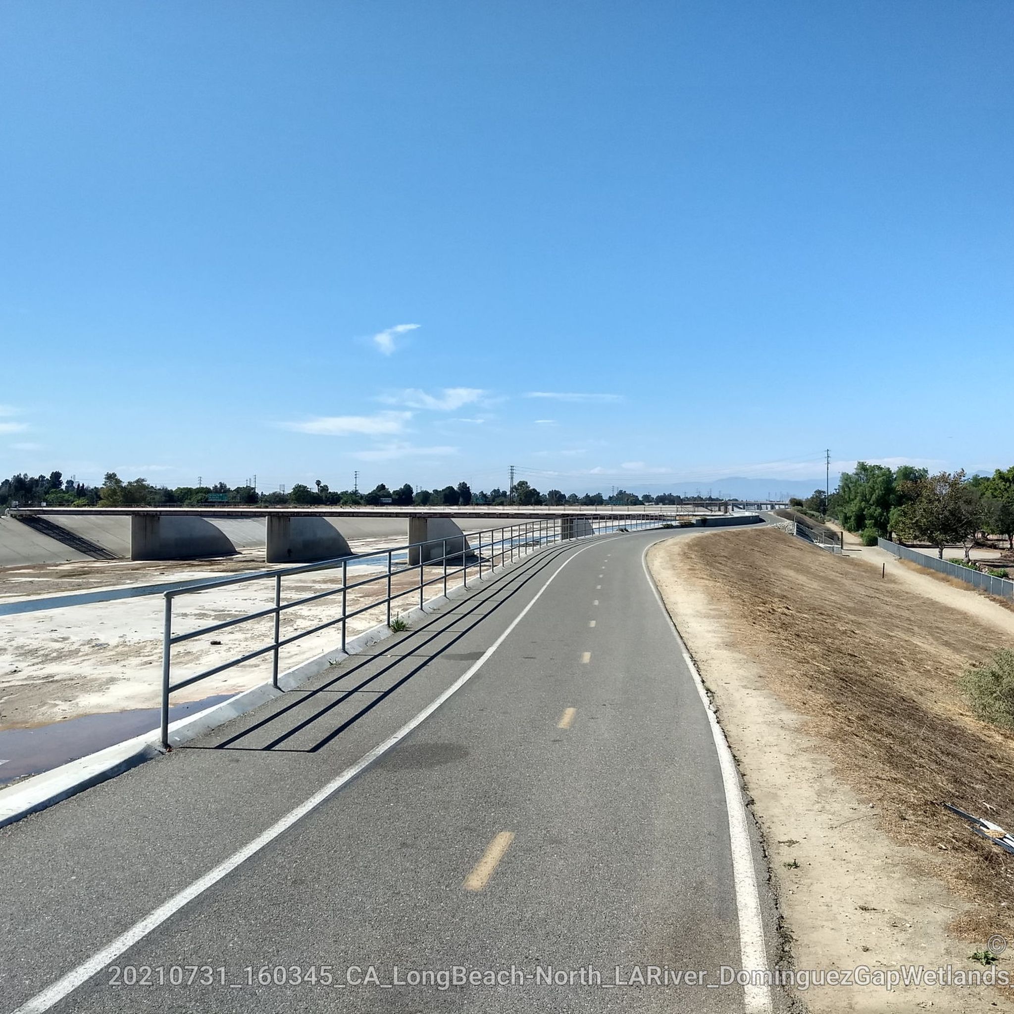
While West Rancho Dominguez is known for its urban green spaces, you can find interesting features. For example, the area includes connections to regional resources through adjacent bike paths. You might encounter highlights like the Rio Hondo Bike Bridge or sections of the Los Angeles River Greenway, which offer a blend of natural and engineered landscapes.
Are there any easy running routes suitable for beginners or a relaxed jog?
Absolutely. For an easy and tranquil experience, consider the Running loop from Alondra Park. This 3.1-mile (4.9 km) path offers a pleasant green park environment, perfect for a relaxed run or for those just starting out.
What do other runners say about the trails in West Rancho Dominguez?
The running routes in West Rancho Dominguez are highly regarded by the komoot community, with an average rating of 4.25 stars from over 5 reviews. Runners often appreciate the accessible local parks and well-maintained trails that provide a peaceful environment for exercise.
Are there any longer or more challenging running routes for experienced runners?
Yes, for those seeking a more demanding run, the Bluff Cove – Torrance Beach loop from Redondo Beach is a difficult 31.3-mile (50.4 km) trail. While longer, it offers extensive coastal views and a significant challenge.
Can I find running routes that are good for families or those with strollers?
West Rancho Dominguez's local parks, such as Hollydale Park, are designed with accessibility in mind. They feature well-maintained walking and running trails, often with no significant elevation gain, making them suitable for families and those with strollers. These green spaces provide a safe and pleasant environment for all.
Are the running routes in West Rancho Dominguez dog-friendly?
Many local parks in West Rancho Dominguez, including Hollydale Park, are known to be dog-friendly. It's always a good idea to keep your dog on a leash and follow park regulations to ensure a pleasant experience for everyone.
What are the options for parking when accessing running trails in the area?
Local parks like Hollydale Park typically offer parking facilities for visitors. Given the community's emphasis on accessible recreational opportunities, parking is generally available at these key destinations, making it convenient to access the running trails.
Is it possible to reach running routes in West Rancho Dominguez using public transport?
Yes, the community's focus on accessibility means that many local parks and green spaces are often reachable via public transport. For specific routes, checking local transit schedules to the park entrances, such as Hollydale Park, would be advisable.
Are there any running routes that pass through urban green spaces or university campuses?
Certainly. The Running loop from California State University - Dominguez Hills is a great option. This 3.3-mile (5.4 km) trail leads through an urban green space, offering a refreshing run within a developed area.
What is the best time of year to go running in West Rancho Dominguez?
West Rancho Dominguez offers a pleasant environment for outdoor activities year-round. The mild Southern California climate means that jogging is enjoyable in most seasons. For comfort, consider early mornings or late afternoons during warmer months to avoid peak heat, and enjoy the cooler temperatures during fall and winter.
Most popular routes around West Rancho Dominguez
Most popular attractions around West Rancho Dominguez

Get inspired with the komoot mobile app


Explore more
Browse the best Running Trails & Routes in other regions.
