The best running trails around Vine Hill
3.5
(17)
238
runners
29
runs
Jogging around Vine Hill offers diverse terrain for runners, characterized by rolling hills and scenic trails. The region features a mix of parkland, ridge trails, and waterfront paths, providing varied landscapes for outdoor activity. Elevation changes are common, with routes traversing moderate ascents and descents. This area provides opportunities for both leisurely runs and more challenging hill workouts.
Best jogging routes around Vine Hill
- The most popular jogging route is Mount Helen & Mount Wanda loop, a 3.7 miles…
Last updated: May 13, 2026
6
runners
5.87km
00:47
180m
180m
Moderate run. Good fitness required. Mostly paved surfaces. Suitable for all skill levels.
2
runners
6.69km
00:42
40m
40m
Moderate run. Good fitness required. Mostly paved surfaces. Suitable for all skill levels.

Sign up for free
1
runners
6.92km
00:58
280m
290m
Moderate run. Good fitness required. Mostly paved surfaces. Suitable for all skill levels.
5.0
(16)
12
runners
Moderate run. Good fitness required. Mostly paved surfaces. Suitable for all skill levels.
7
runners
Moderate run. Good fitness required. Mostly paved surfaces. Suitable for all skill levels.
Get access to more routes and recommendations from other explorers.
Sign up for free
Already have an account?
Our route recommendations are based on thousands of hikes, rides, and runs completed by other people on komoot.
Start today with a free account
Your next adventure awaits.
Login or Signup

Tips from the Community

This is the historic core of Martinez, still showing carefully preserved traces from its early days of being a gold rush and shipping boom town — basically, a trading center for early settlers in this area.
0
0

The Contra Costa Canal Trail stretches for several miles through the Concord Metro Area. The trail is mostly flat and paved, running alongside the Contra Costa Canal, passing through urban parks and open areas. It’s a great option for a leisurely stroll or bike ride.
1
0

From this location, the SF Bay Trail continues to Carquinez Strait Regional Shoreline and beyond into the city. You can extend your hike from here and explore as long as you like, or head back across the stunning bridge for a repeat experience of the beautiful scenery.
0
0
From this location, the SF Bay Trail continues to Carquinez Strait Regional Shoreline and beyond into the city. You can extend your run from here or head back across the stunning bridge for a repeat experience of the beautiful scenery.
0
0
This well-maintained small park offers plenty of parking, picnic tables and paved walkways. It offers scenic views of the two I-680 bridge spans, the train trestle, Mount Diablo, and the Mothball Fleet (National Defense Reserve Fleet). It is a fantastic vantage point with plenty of parking, making it an ideal location to begin and end a run.
0
0

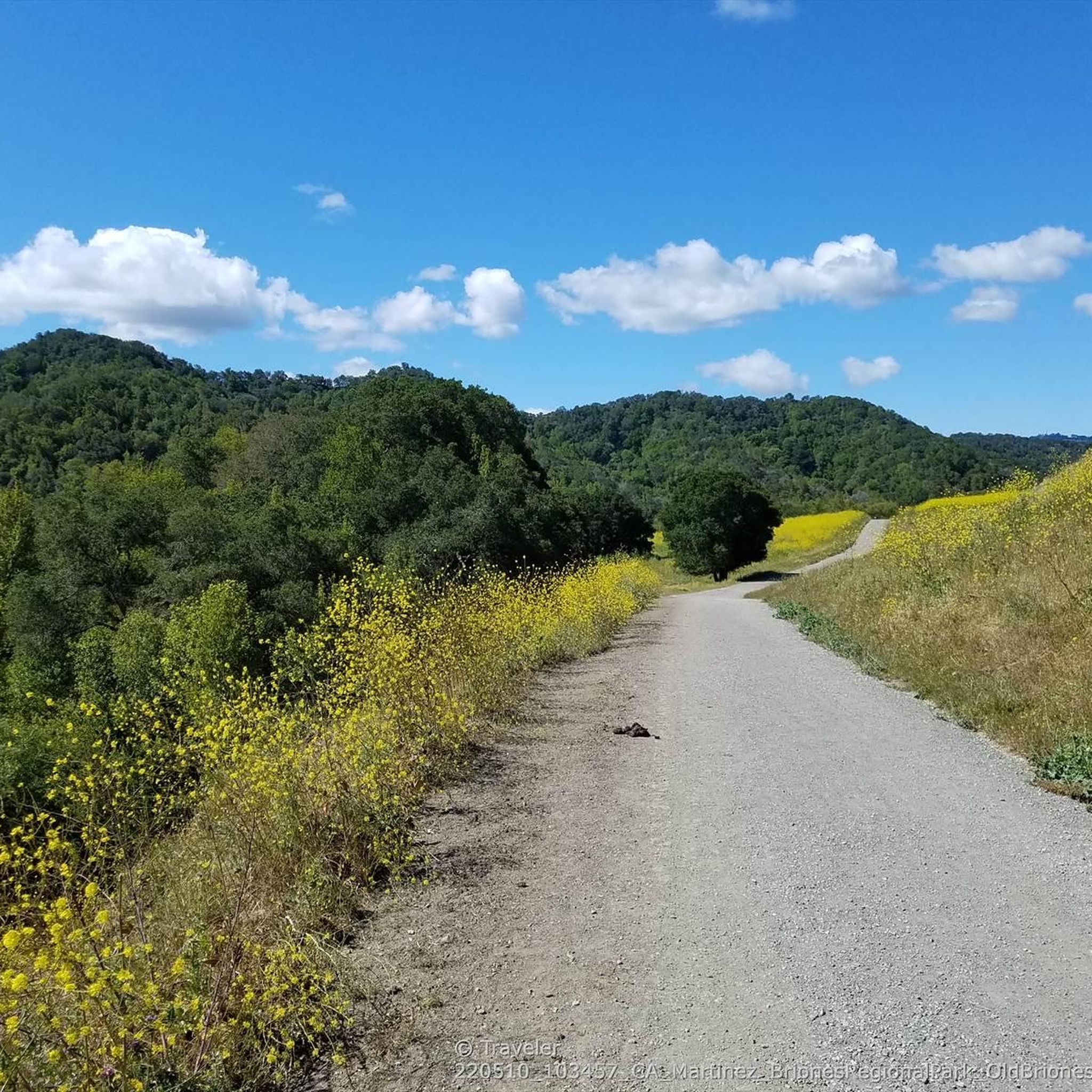
Steepest dirt climb of the route.
0
0
Larkey Park, right next to the Lindsay Wildlife Museum, has big grassy fields and tall trees providing plenty of shade, with picnic tables, restrooms, and a playground. The Briones to Mount Diablo Trail runs right through the park with connections to the Acalanes Ridge and the backside of Briones Regional Park, along with a few other local walking trails that connect here, making it a great base to park and satellite out to explore the surrounding areas.
0
0

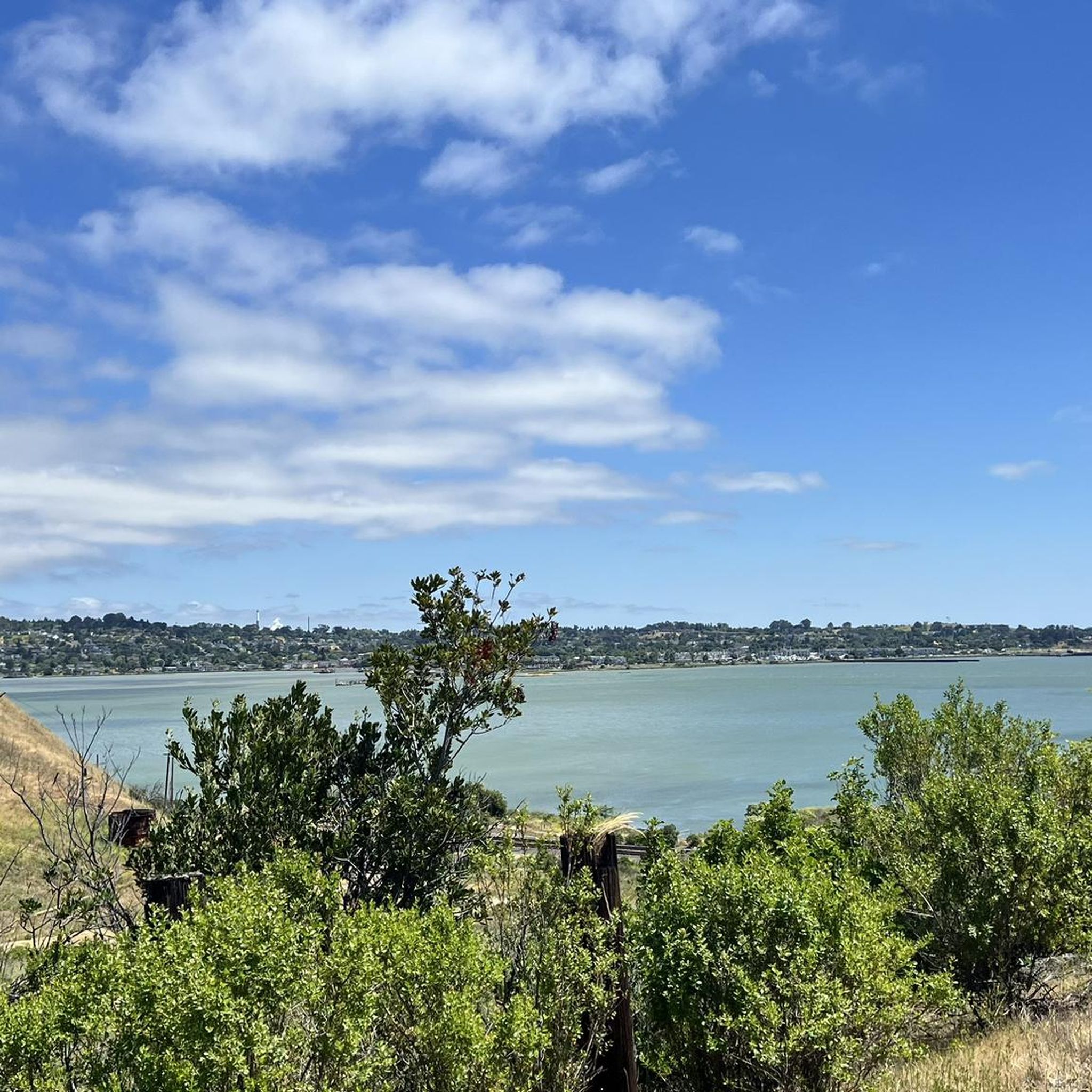
Martinez Regional Shoreline is a waterfront park situated in Martinez. Spanning approximately 500 acres, it features a blend of natural landscapes and recreational amenities. Enjoy a nice walk in the area while taking in the fantastic views of the Carquinez Strait. The area is a great location for birdwatching.
0
0
Frequently Asked Questions
How many running routes are available around Vine Hill?
There are over 20 running routes around Vine Hill, offering a variety of experiences for joggers. These include moderate and difficult options, catering to different fitness levels.
What kind of terrain can I expect on the jogging trails in Vine Hill?
The Vine Hill region is characterized by diverse terrain, including rolling hills, scenic trails, parkland, ridge trails, and waterfront paths. You'll encounter moderate ascents and descents, providing both leisurely runs and more challenging hill workouts. The landscape often features green spaces and, in some areas, unique vineyard backdrops.
Are there routes suitable for beginners or easy runs in Vine Hill?
While many routes in Vine Hill feature moderate elevation changes, there are options that are less strenuous. For example, the San Francisco Bay Trail: Benicia Waterfront offers a relatively flat path along the water, making it a good choice for an easier run.
What do other runners say about the trails in Vine Hill?
The running routes in Vine Hill are generally well-regarded by the komoot community. Users often praise the varied terrain, scenic views, and the opportunity for both moderate and challenging runs. The region's mix of parkland, ridge trails, and waterfront paths provides a refreshing and immersive outdoor experience.
Are there any circular running routes in Vine Hill?
Yes, Vine Hill offers several excellent circular running routes. A popular choice is the Mount Helen & Mount Wanda loop, which takes you through natural parkland with moderate elevation changes. Another option is the Franklin Ridge Loop, offering a slightly longer challenge.
Can I find long-distance running trails in the Vine Hill area?
For those looking for longer runs, the Walden Park loop from Pleasant Hill is a great option, covering over 10 kilometers. This route provides a good distance for endurance training within the region.
Are the running routes in Vine Hill dog-friendly?
Many of the parkland and trail areas around Vine Hill are generally dog-friendly, especially if your dog is on a leash. However, it's always best to check specific park regulations or trail signage before heading out, as rules can vary by location within the broader Vine Hill region.
What are some scenic jogging routes in Vine Hill?
Vine Hill boasts many scenic routes. The Bay Area Ridge Trail: Benicia-Martinez Bridge offers expansive views, while the San Francisco Bay Trail: Benicia Waterfront provides beautiful waterside vistas. The natural setting, including parklands and open fields, ensures aesthetically pleasing routes throughout the region.
Are there options for more challenging runs with significant elevation?
Yes, Vine Hill is known for its rolling hills, providing excellent opportunities for challenging runs. Routes like the Franklin Ridge Loop feature notable elevation gains, making them ideal for runners seeking a more intense hill workout. The region offers 3 difficult routes for those looking for a significant challenge.
What natural attractions can I see along the jogging routes in Vine Hill?
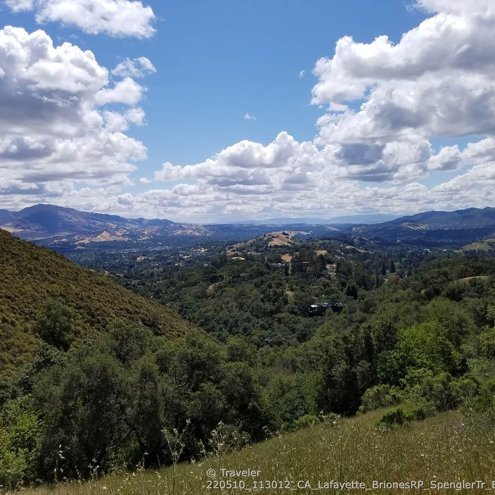
While jogging around Vine Hill, you can encounter several natural attractions. Consider visiting John Muir Memorial Park, or enjoy the tranquility of Maricich Lagoon. There are also scenic viewpoints such as Viewpoint over Fernandez Ranch and View of Briones Regional Park Hills, offering stunning vistas during your run.
Are there any trails suitable for strollers in Vine Hill?
For stroller-friendly options, look for routes with wider, paved, or well-maintained gravel paths. Waterfront trails or paths within established parks, like sections of the San Francisco Bay Trail: Benicia Waterfront, are generally more suitable for strollers due to their flatter and smoother surfaces.
What is the best time of year to jog in Vine Hill?
The best time of year to jog in Vine Hill largely depends on personal preference. Spring and fall generally offer mild temperatures, making for very pleasant running conditions. Summers can be warm, especially in areas with less shade, while winters are typically mild, though some trails might become muddy after rain. Always check local weather conditions before heading out.
Most popular attractions around Vine Hill

Get inspired with the komoot mobile app


Explore more
Browse the best Running Trails & Routes in other regions.
