The best road cycling routes around Valinda
4.1
(21)
1,609
riders
34
rides
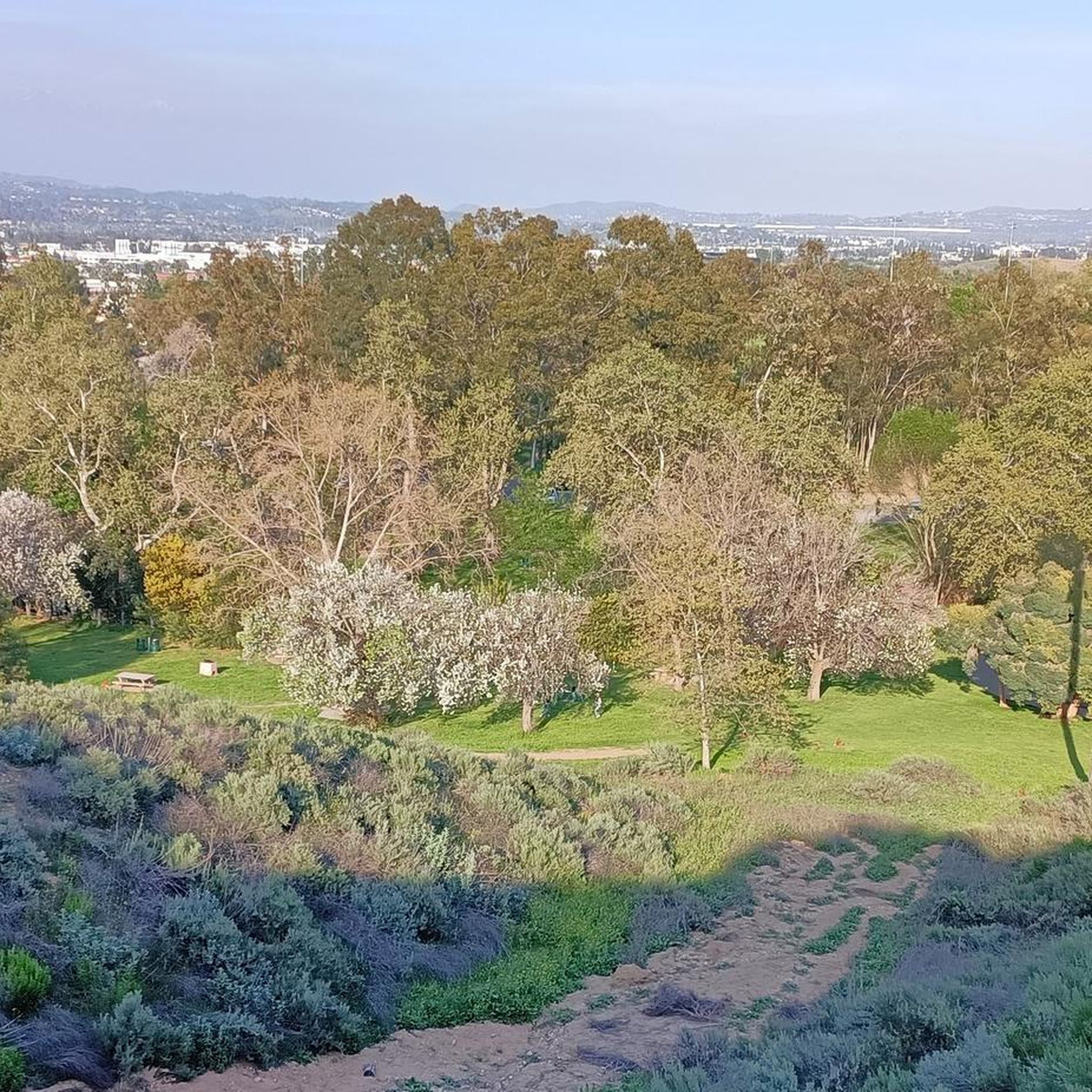
Road cycling routes around Valinda are situated in a largely urbanized area within the San Gabriel Valley, offering views of the Puente Hills, San Jose Hills, and the San Gabriel Mountains. While Valinda itself is relatively flat, its location provides access to more challenging terrain and significant elevation gains in the surrounding hills and mountains. The region is developing its cycling infrastructure, including the upcoming Puente Creek Bikeway, which will enhance local cycling accessibility.
Best road cycling routes around Valinda
…Last updated: September 30, 2026
5.0
(3)
327
riders
103km
06:40
2,260m
2,260m
Hard road ride. Very good fitness required. Mostly well-paved surfaces and easy to ride.
92
riders
70.3km
03:31
140m
140m
Moderate road ride. Good fitness required. Some segments of this route may be unpaved and difficult to ride.

26
riders
43.8km
02:27
830m
830m
Moderate road ride. Good fitness required. Mostly well-paved surfaces and easy to ride.
5.0
(3)
26
riders
80.9km
03:59
1,040m
1,040m
Hard road ride. Very good fitness required. Some segments of this route may be unpaved and difficult to ride.
3.0
(1)
25
riders
49.7km
03:08
610m
610m
Moderate road ride. Good fitness required. Mostly well-paved surfaces and easy to ride.
Get access to more routes and recommendations from other explorers.
Already have an account?
Our route recommendations are based on thousands of hikes, rides, and runs completed by other people on komoot.
Start today with a free account
Your next adventure awaits.



Tips from the Community

You can cycle across the top of the dam, which was constructed in 1928 to help control flooding in the region. It stands at 147 feet high, and today supports a myriad of outdoor recreation activities on the reservoir.
0
0

The Rio Hondo Greenway is a beautiful bike lane that follows the river that gives the trail its name. It is fully paved and flat, so it is not a challenging trail.
0
0
The San Gabriel Dam is a rock‑fill structure completed in 1939 on the San Gabriel River and is used for flood control.
0
0

Mount Baldy Village & ski resort towers above the San Gabriel Valley & Los Angeles suburbs and is a lovely alpine community with a wonderful restaurant and a pub. It's a great place to stop, take in the incredible scenery, and refuel during your ride.
0
0

Ride through Turnbull Canyon and be rewarded with stunning views of Los Angeles County and surround yourself with a mix of natural beauty and historical intrigue. The road climbs with an average gradient of 5.2%, gaining 775 feet in elevation and peaking at 1,161 feet. Be cautious of fast-driving vehicles on the winding roads.
1
0
Great view of the Puddingstone Reservoir, a 250-acre man-made body of water. There is a road that runs along the perimeter of the reservoir and there is a spot to pull off the road to get a close up view of the water.
0
0
There is a parking lot and restroom here at the trailhead, which provides access to a large network of paved and packed dirt trails along the beautiful Rio Hondo. The trailhead closes at sunset.
0
0

be cautious, lots of young fast and furious wannabe racers out on the canyon at all hours of the day. listen to your surroundings. be safe
0
0
Frequently Asked Questions
What kind of terrain and difficulty can I expect on road cycling routes around Valinda?
Road cycling routes around Valinda offer a diverse range of terrain. While Valinda itself is largely flat and urbanized, its proximity to the San Gabriel Valley provides access to more challenging routes with significant elevation gains in the surrounding hills and mountains. You'll find routes ranging from moderate, like the Santa Fe Flood Control Basin loop from Irwindale, to very difficult, such as the Glendora Ridge Road – Little Dalton Debris Basin loop from Covina, which features substantial climbing.
Are there any easy road cycling routes suitable for beginners in Valinda?
Yes, while many routes venture into challenging mountainous terrain, Valinda's developing local cycling infrastructure, including the upcoming Puente Creek Bikeway, aims to provide easier, off-road options. Currently, there are a few easier routes available, and the overall network offers options for various ability levels. You can find routes with less elevation gain, particularly within the flatter urban areas or along existing bikeways.
Where can I find challenging road cycling routes with significant elevation gain near Valinda?
For experienced cyclists seeking significant elevation gain, Valinda serves as a gateway to several demanding routes in the surrounding hills and mountains. Options include the Glendora Ridge Road – Little Dalton Debris Basin loop from Covina, which covers over 100 kilometers with more than 2,200 meters of climbing. Another challenging option is the Carbon Canyon Regional Park loop from Covina, offering a substantial 942 meters of ascent over 72 kilometers.
What natural features or landmarks can I see while road cycling near Valinda?
While cycling near Valinda, you can enjoy views of the Puente Hills, San Jose Hills, and the majestic San Gabriel Mountains, which provide a scenic backdrop. Some routes, like the View of Puddingstone Reservoir loop from Covina, offer views of Puddingstone Reservoir. You might also encounter highlights such as Turnbull Canyon or the San Gabriel River Greenway.
Are there any scenic viewpoints along the road cycling routes?
Yes, many of the more challenging routes that venture into the surrounding mountains offer scenic vistas. The region is known for its 'quintessential Valleyness' with views of the Puente Hills, San Jose Hills, and the San Gabriel Mountains. Routes like those on Glendora Ridge Road are particularly noted for winding roads with scenic views as you gain elevation.
Is parking available near the road cycling routes in Valinda?
Yes, parking is generally available in areas that serve as starting points for many routes, such as Covina or Baldwin Park, which are common access points for the more extensive loops. Within Valinda, local parks like Rimgrove Park offer amenities and could serve as a convenient base, especially with the upcoming Puente Creek Bikeway connecting to it.
How many road cycling routes are available around Valinda?
There are over 25 road cycling routes available around Valinda, catering to various skill levels. These routes range from moderate to difficult, offering diverse experiences from urban landscapes to challenging mountain climbs.
What do other road cyclists enjoy the most about road cycling in Valinda?
The road cycling routes around Valinda are highly rated by the komoot community, with an average score of 4.2 stars. Cyclists often praise the access to challenging mountainous terrain with significant elevation gains, as well as the scenic views of the surrounding hills and mountains. The developing local cycling infrastructure, including new bikeways, is also appreciated for enhancing accessibility.
Are there any long-distance road cycling routes available?
Yes, for those looking for longer rides, there are several extensive loops. For instance, the San Gabriel River Trail – Santa Ana River Trail loop from Covina is a substantial 140-kilometer route. Another demanding option is the Glendora Ridge Road – Little Dalton Debris Basin loop from Covina, which spans approximately 103 kilometers.
What is the best time of year for road cycling in Valinda?
Valinda's climate generally allows for road cycling year-round. However, the spring and fall months typically offer the most pleasant temperatures for longer rides, especially when tackling routes with significant elevation gain. Summers can be hot, so early morning rides are recommended, while winters are generally mild, making it possible to cycle comfortably.
Are there any dedicated bikeways or cycling infrastructure in Valinda?
Valinda is actively improving its cycling infrastructure. The significant upcoming Puente Creek Bikeway will provide a 2.2-mile mixed-use path, connecting Rimgrove Park and offering a safe, off-road option. Additionally, Valinda currently has existing bikeways along Temple Avenue and Valinda Avenue, with more proposed for Amar Road, Maplegrove Street, and Echelon Avenue, enhancing local cycling accessibility.
Can I find loop routes for road cycling near Valinda?
Yes, many of the popular road cycling routes near Valinda are designed as loops, allowing you to start and end at the same point. Examples include the challenging Glendora Ridge Road – Little Dalton Debris Basin loop from Covina and the scenic View of Puddingstone Reservoir loop from Covina.
Most popular routes around Valinda
Most popular attractions around Valinda

Get inspired with the komoot mobile app


Explore more
Browse the best Road cycling routes in other regions.
