The best road cycling routes around Spring Valley
4.7
(123)
1,825
riders
94
rides
Road cycling around Spring Valley, located in San Diego County, California, offers diverse terrain for cyclists. The region features a mix of hilly landscapes, serene reservoirs like Sweetwater Reservoir, and expansive parks. Cyclists can navigate through areas with significant elevation changes and enjoy views of the valley and surrounding mountains. The network of roads and trails provides varied experiences, from river trails to challenging loops.
Best road cycling routes around Spring Valley
- The most popular road cycling route is Lyons Valley loop, a difficult 41.4 miles (66.6 km) trail that takes 3 hours 29 minutes to complete. This route features significant elevation gain and scenic views.
- Another top favourite among local road cyclists is Sweetwater River – Skyline Truck Descent loop from Lemon Grove Depot, a difficult 56.8 miles (91.5 km) path. This route offers extensive mileage and considerable climbing through varied terrain.
- Local road cyclists also love the Mission Trails Regional Park – Old Mission Dam loop from La Mesa Boulevard, a 19.6 miles (31.5 km) trail leading through Mission Trails Regional Park and past the Old Mission Dam, often completed in about 1 hour 47 minutes.
- Road cycling around Spring Valley is defined by its hilly terrain, views of reservoirs, and access to regional parks. The network offers options for different ability levels, from moderate paths to challenging climbs.
- The routes in Spring Valley are highly rated by the komoot community with an average score of 4.7 stars from over 50 reviews. More than 1,000 road cyclists have used komoot to explore Spring Valley's varied terrain.
Last updated: August 21, 2026
4.8
(5)
177
riders
66.6km
03:30
1,200m
1,200m
The Lyons Valley loop offers a difficult road cycling experience, covering 41.4 miles (66.6 km) with a significant elevation gain of 3941 feet (1201 metres). You can expect to complete this challenging route in about 3 hours and 29 minutes, making it a true test of endurance. As you ride, you will pass through diverse landscapes, from rural roads to dusty ranchland, and enjoy scenic views of valleys and mountains, particularly around Barrett Lake. The route also features wooded grasslands, horse ranches, and orchards, providing a varied visual journey.
Before you head out, be aware that the terrain can include loose surfaces, especially after rain, with pebbles and dried mud on the pavement. Some segments might even be unpaved and difficult, potentially requiring you to dismount and push your bike. For a convenient stop, the Lyons Valley Trading Post is a common place to refill water and take a break. Plan your ride to account for these conditions, ensuring you have appropriate tires and are prepared for varied surfaces.
This route is known for its dynamic riding experience, featuring engaging climbs and descents that will keep you challenged throughout. It provides a memorable ride for experienced road cyclists looking for a demanding workout in a beautiful setting. The shifting landscape and varied terrain make it stand out as a comprehensive test of skill and fitness within the region.
4.8
(5)
201
riders
91.5km
04:34
1,420m
1,420m
Hard road ride. Very good fitness required. Mostly well-paved surfaces and easy to ride.

Sign up for free
5.0
(1)
34
riders
61.5km
03:04
750m
750m
Moderate road ride. Good fitness required. Some segments of this route may be unpaved and difficult to ride.
4.5
(2)
18
riders
Moderate road ride. Good fitness required. Mostly well-paved surfaces and easy to ride.
16
riders
45.4km
02:05
490m
500m
Moderate road ride. Good fitness required. Mostly well-paved surfaces and easy to ride.
Get access to more routes and recommendations from other explorers.
Sign up for free
Already have an account?
Our route recommendations are based on thousands of hikes, rides, and runs completed by other people on komoot.
Start today with a free account
Your next adventure awaits.
Login or Signup
Tips from the Community


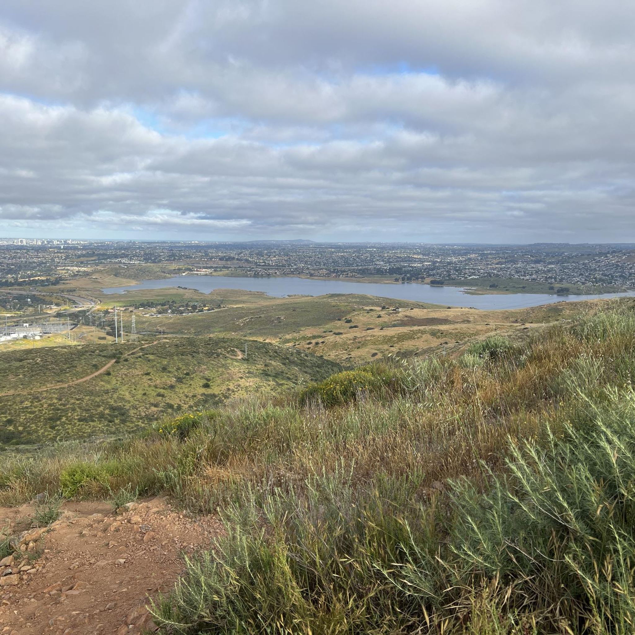
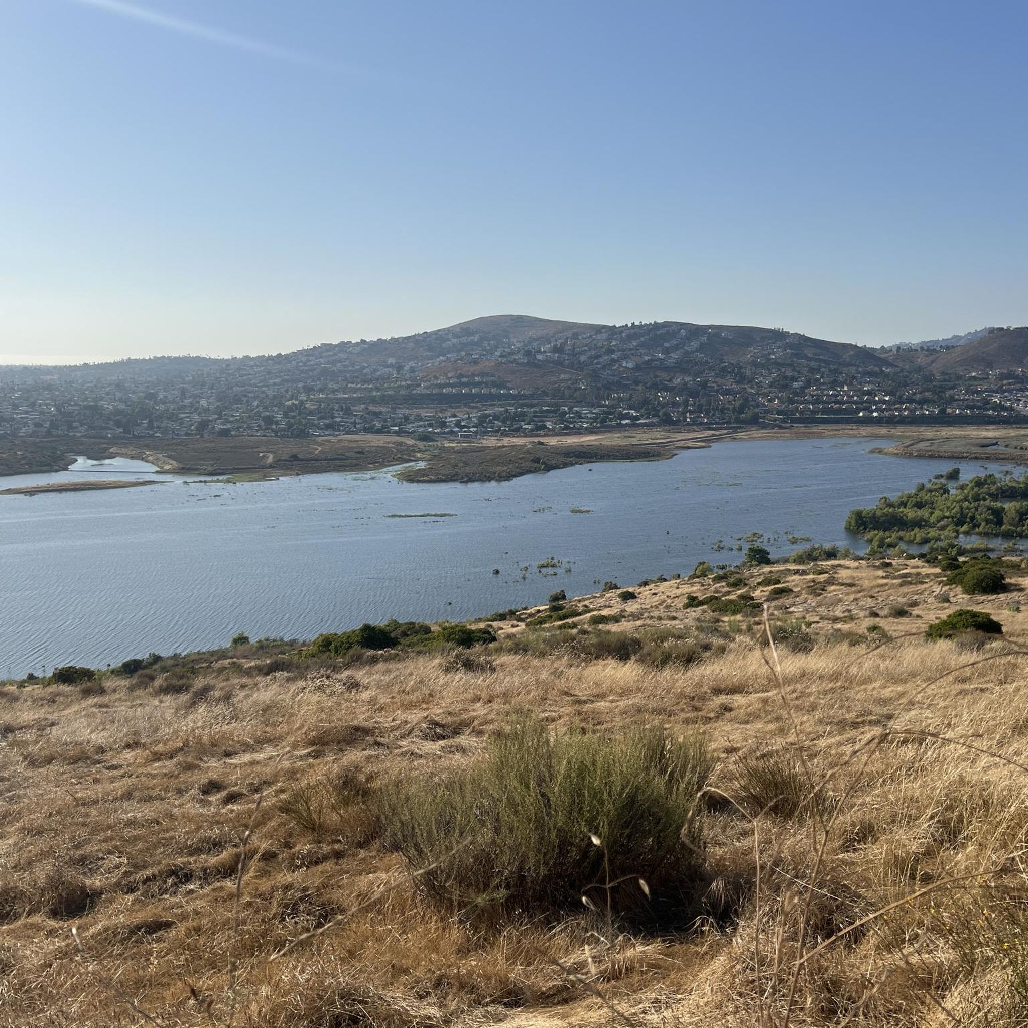
The Lake Murray Reservoir is a 171.1 acre body of water. It is a popular spot for boaters and there is a path that runs alongside the perimeter of the water.
1
0

The Sweetwater River is a small year-round stream that flows 55 miles from the Cuyamaca Mountains to the San Diego Bay.
1
0

Lake Murray, managed by the City of San Diego's Public Utilities Department, is a reservoir in San Diego, California. While partly bordered by residential areas and roads, it falls under the jurisdiction of Mission Trails Regional Park. At capacity, it spans 171.1 acres (69.2 ha) with a maximum depth of 95 feet (29 m) and a shoreline extending 3.2 miles (5.1 km).
0
0

The Steele Canyon Bridge, also known as the Sweetwater River Bridge, is a beautiful landmark crossing the Sweetwater River. It is on the National Register of Historic places, and is no longer used for vehicles but is a great hiking, running or biking spot.
0
0

This overlook on the trail offers a cool bird's eye view of the Old Mission Dam. You can tell just how wide the structure spans when you get this higher perspective.
0
0

Built in 1803 by Kumeyaay Indians 'conscripted' by the Spanish, the dam was built across Mission Gorge to redirect water to the Mission San Diego de Alcala. The area is full of history as well as spectacular scenery and wildlife.
0
0
Mission Trails Regional Park spans 8,000 acres, comprising both natural and developed recreational areas. It stands as one of the largest urban parks in the United States, established in 1974. The park boasts 60 miles of trails, opportunities for boating on Lake Murray, and camping options at Kumeyaay Lake.
0
0
Frequently Asked Questions
What kind of terrain can I expect when road cycling in Spring Valley?
Spring Valley offers a diverse range of terrain for road cyclists. You'll find a mix of hilly landscapes, serene areas around reservoirs like Sweetwater Reservoir, and expansive parks. Routes can feature significant elevation changes, providing challenging climbs, as well as flatter sections along river trails. The varied topography allows for different experiences, from gentle rides to demanding ascents with panoramic views.
Are there road cycling routes suitable for beginners in Spring Valley?
Yes, Spring Valley has routes suitable for beginners. The Sweetwater River Trail, for example, is noted for being mostly well-paved and beginner-friendly. Overall, there are 11 easy road cycling tours available in the region, offering a good starting point for those new to road cycling.
Where can I find challenging road cycling routes in Spring Valley?
For experienced cyclists seeking a challenge, Spring Valley offers several difficult routes with significant elevation gains. The Lyons Valley loop is a difficult 41.4-mile ride with substantial climbing and scenic views around Barrett Lake. Another demanding option is the Sweetwater River – Skyline Truck Descent loop from Lemon Grove Depot, which covers 56.8 miles with considerable climbing through varied terrain. There are 12 difficult road cycling tours in the area.
What scenic viewpoints or landmarks can I see while road cycling in Spring Valley?
Road cycling in Spring Valley can lead you past several notable landmarks and offer stunning views. You might encounter the historic Old Mission Dam, or enjoy panoramic vistas from points like View from Cowles Mountain or Mount Helix. The Mother Miguel Mountain Summit Rockhouse also offers great views of the surrounding peaks and Sweetwater Reservoir.
Are there any road cycling routes that pass by reservoirs or natural features?
Yes, many routes in Spring Valley incorporate natural features and reservoirs. The Sweetwater Reservoir is a central hub for outdoor activities, and routes like the Lower Otay Reservoir – Otay Reservoir Dam loop from Spring Street will take you past significant water bodies. The Sweet Water River Trail is also a prominent natural feature accessible by bike.
Are there circular road cycling routes available in Spring Valley?
Yes, the majority of road cycling routes in Spring Valley are designed as loops, allowing you to start and finish at the same point. Examples include the Lyons Valley loop and the Mission Trails Regional Park – Old Mission Dam loop from La Mesa Boulevard, providing convenient circular journeys.
What do other road cyclists enjoy the most about road cycling in Spring Valley?
The road cycling experience in Spring Valley is highly rated by the komoot community, with an average score of 4.7 stars from over 50 reviews. Cyclists often praise the diverse terrain, ranging from challenging climbs with rewarding views to more serene paths along reservoirs and through parks. The variety of routes catering to different skill levels is also a frequently highlighted positive aspect.
Are there road cycling routes that start near public transport options?
Yes, some routes offer convenient access via public transport. For instance, the Sweetwater River – Skyline Truck Descent loop can be accessed from Lemon Grove Depot, and the Mission Trails Regional Park – Old Mission Dam loop starts near La Mesa Boulevard, both of which are typically accessible by public transit.
What is the best time of year to go road cycling in Spring Valley?
Spring Valley, being in San Diego County, California, generally offers favorable conditions for road cycling year-round. However, spring and fall often provide the most comfortable temperatures, avoiding the hotter summer months and cooler winter mornings. Always check local weather forecasts before heading out.
How many road cycling routes are there in Spring Valley?
There are over 80 road cycling routes available around Spring Valley, offering a wide selection for various skill levels and preferences. This includes 11 easy, 60 moderate, and 12 difficult tours.
Are there any routes that offer views of San Diego Bay?
Yes, for those interested in coastal views, the Glorietta Bay Park – View of San Diego Bay loop from Spring Street is a moderate 84.3-kilometer route that provides scenic views of San Diego Bay.
Most popular attractions around Spring Valley

Get inspired with the komoot mobile app


Explore more
Browse the best Road cycling routes in other regions.
