The best running trails around Spreckels
4.7
(7)
88
runners
12
runs
Jogging around Spreckels offers a variety of routes through its diverse landscape, characterized by rolling hills and established trails. The region features several named peaks and prominent roads, providing varied terrain for runners. Elevation changes are common, with some routes including significant climbs, making it suitable for different fitness levels.
Best jogging routes around Spreckels
- The most popular jogging route is Running loop from Portola / Toro Hills, a 7.3 miles (11.8 km) trail that takes 1 hour 19…
Last updated: June 25, 2026
5.0
(1)
24
runners
11.8km
01:20
210m
210m
Moderate run. Good fitness required. Mostly paved surfaces. Suitable for all skill levels.
5.0
(1)
21
runners
9.84km
01:05
200m
200m
Moderate run. Good fitness required. Mostly paved surfaces. Suitable for all skill levels.

Sign up for free
8
runners
27.5km
03:12
530m
530m
Hard run. Very good fitness required. Mostly paved surfaces. Suitable for all skill levels.
6
runners
10.4km
01:26
430m
430m
Hard run. Very good fitness required. Mostly paved surfaces. Suitable for all skill levels.
4
runners
14.8km
02:01
520m
520m
Hard run. Very good fitness required. Mostly paved surfaces. Suitable for all skill levels.
Get access to more routes and recommendations from other explorers.
Sign up for free
Already have an account?
Our route recommendations are based on thousands of hikes, rides, and runs completed by other people on komoot.
Start today with a free account
Your next adventure awaits.
Login or Signup
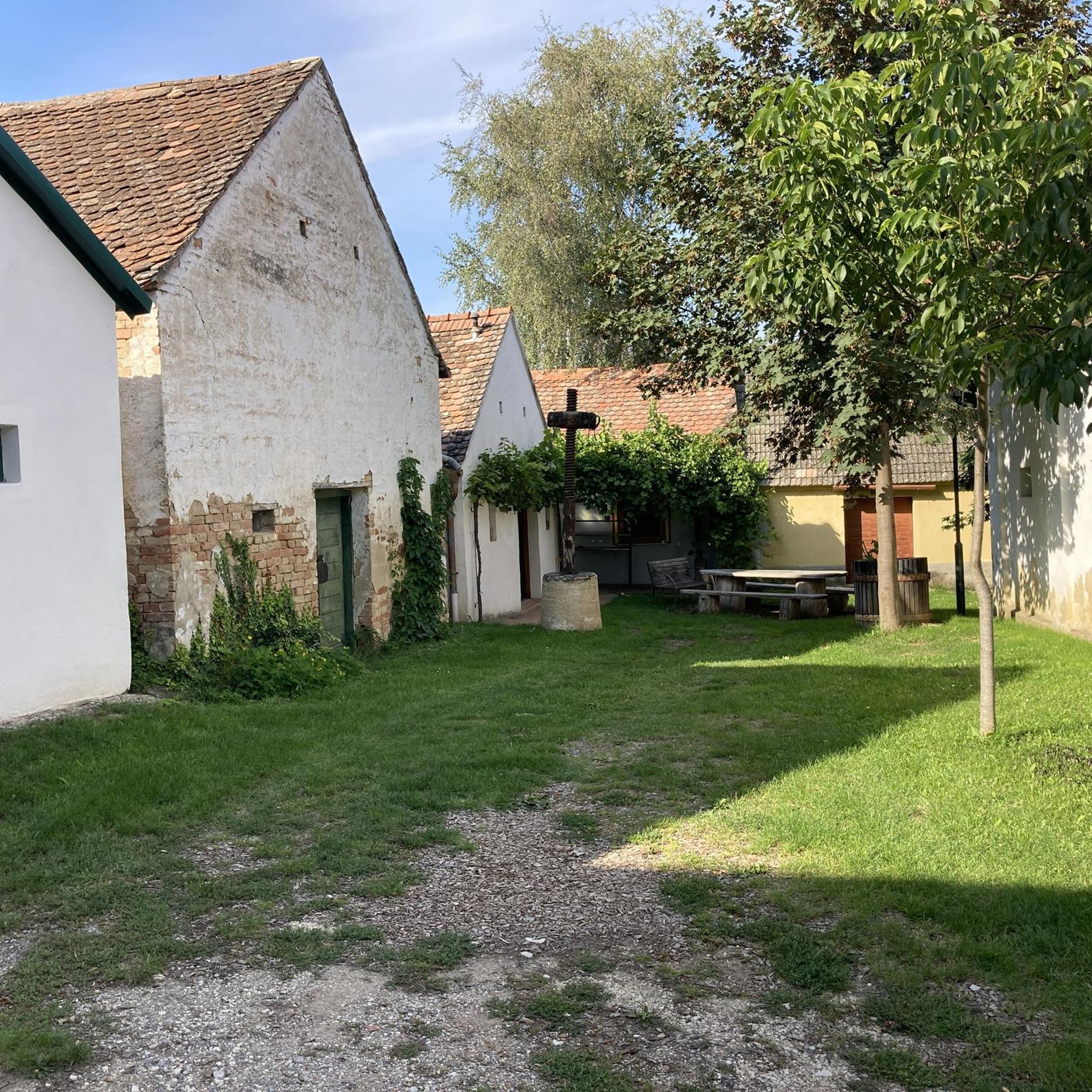
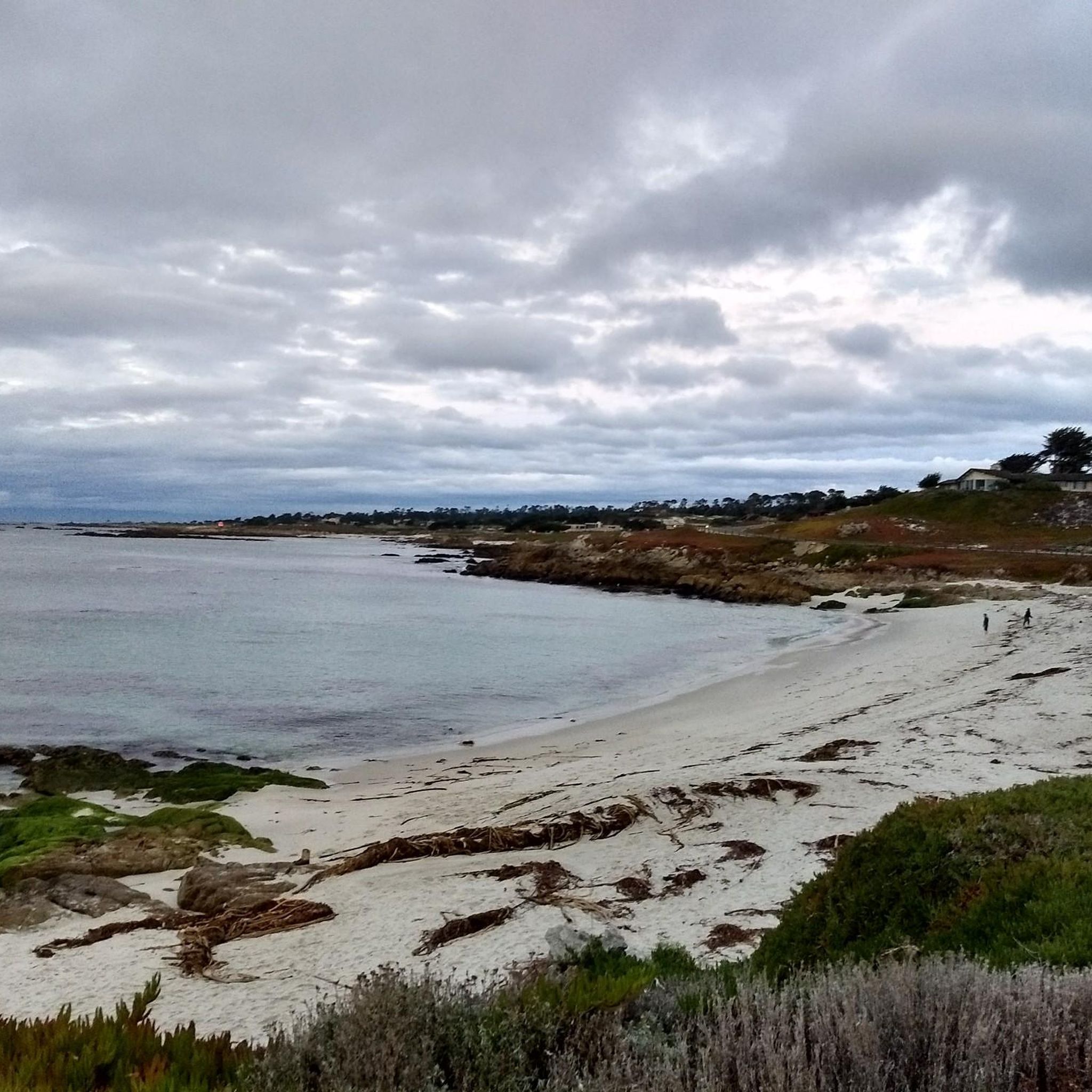
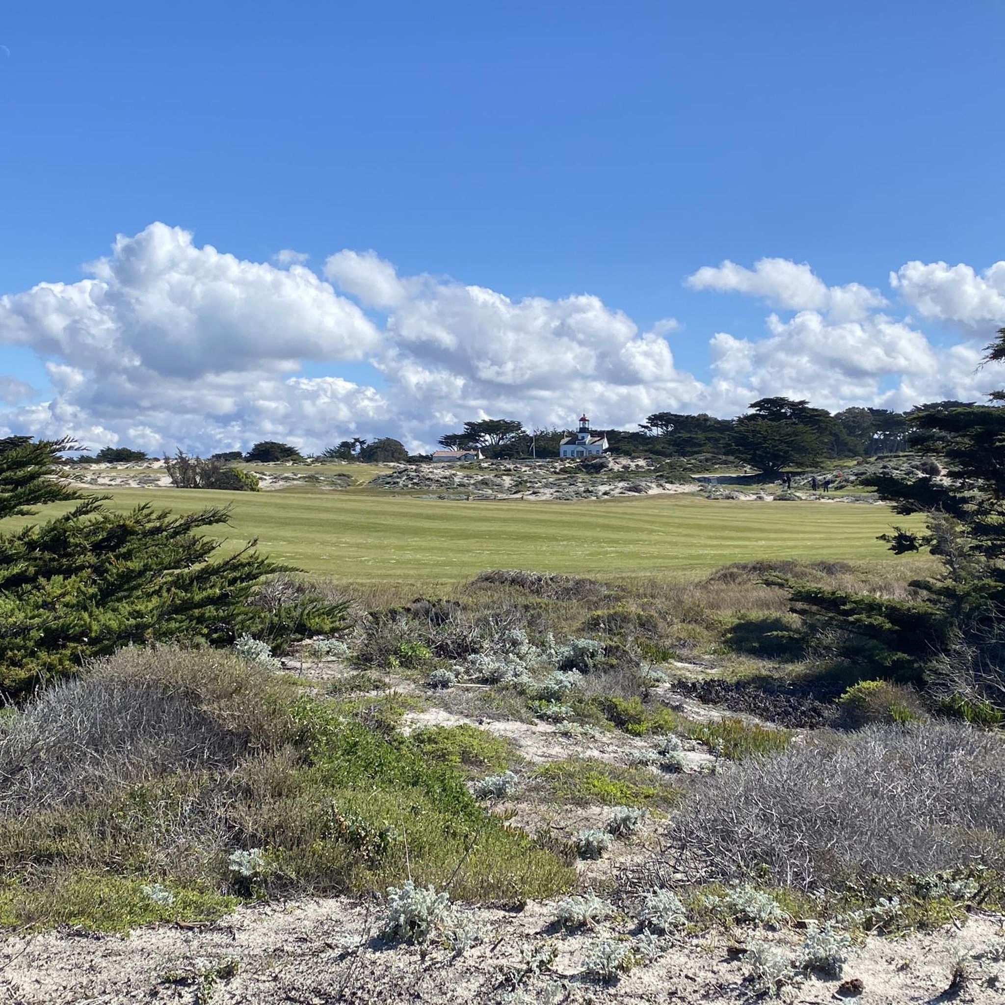

Tips from the Community

A quiet back road in Monterey with gentle curves and rolling terrain. It’s a solid alternative to busier routes, with open views and steady riding through ranchland that adds variety to local loops.
0
0
A handy base for exploring Monterey’s rolling roads. The campground is a perfect place to spend the night if you want open views and easy access to tough climbs like Laureles Grade. It’s better to start riding early here to beat the heat and enjoy the empty roads.
0
0

Great place for a break to enjoy the wonderful view over Fort Ord National Monument. There is a bench, so it is perfect to get off your feet for a couple of minutes.
0
0

This is the southern section of Trail 49; the northern section starts on the other side of Lookout Ridge Road. If you ride this trail north to south, it's a mix of challenging, twisty sections with lots of tight turns, and your classic flowing singletrack. Watch out for poison oak!
0
0

With gorgeous views of the Monterey Bay, Ollason Trail offers serene hill surroundings as well as a hefty, strenuous uphill climb to Ollason Peak.
0
0
The highest point in Toro Regional Park, Ollason Peak is the ideal spot for picturesque views over the Toro Mountain Range.
0
0
Frequently Asked Questions
How many running routes are available in Spreckels?
Spreckels offers a selection of over 10 running routes, catering to various fitness levels. These include easy paths, moderate loops, and more challenging trails with significant elevation gain.
Are there easy jogging routes suitable for beginners in Spreckels?
Yes, Spreckels has at least one easy running route, perfect for beginners or those looking for a less strenuous jog. The region's diverse terrain ensures there are options for all abilities.
What are some challenging running routes for advanced runners in Spreckels?
For experienced runners seeking a challenge, Spreckels features 6 difficult routes. These often include significant elevation changes and longer distances, such as the Trail 49 – Jack's Road loop, which covers over 27 km with more than 500 meters of ascent.
Are there any loop or circular running trails in Spreckels?
Many of the running routes in Spreckels are circular, offering convenient starting and ending points. Popular loop trails include the Running loop from Portola / Toro Hills and the Running loop from Highway 68 / # 677.
What kind of scenery can I expect on the jogging routes around Spreckels?
The running routes in Spreckels are known for their diverse landscape, featuring rolling hills, established trails, and views towards named peaks like Ollason Peak and Eagle Peak. You'll experience varied terrain and natural beauty throughout your run.
Are there any points of interest or attractions near the running trails?
Yes, several points of interest are close to the running trails. You might encounter areas like Ollason Trail or Toro County Park & Estates. The region also includes parts of Fort Ord, which has highlights like Trail 41 (Goat Trail).
What do other runners say about the trails in Spreckels?
The running routes in Spreckels are highly regarded by the komoot community, with an average rating of 4.6 stars from over 5 reviews. More than 80 runners have explored these trails, often praising the varied terrain and challenging climbs.
Are there any running routes that offer scenic viewpoints?
Many routes in Spreckels traverse hilly terrain and lead towards named peaks, naturally offering scenic viewpoints. For instance, the Ollason Peak – Ollason Trail loop provides views as you ascend towards the peak.
Can I find long-distance running trails near Spreckels?
Yes, Spreckels offers several longer running routes. The Trail 49 – Jack's Road loop is a significant option, stretching over 27 kilometers, ideal for those looking for an extended run.
Is public transport available to access the jogging routes in Spreckels?
While specific public transport links directly to trailheads are not detailed, many routes start from accessible points like Highway 68 or Portola / Toro Hills. It's advisable to check local transport schedules for the best access options to these general areas.
Are there any family-friendly jogging paths in Spreckels?
For families, the easier routes in Spreckels are generally suitable. These paths offer a gentler experience without the significant elevation gains found on more difficult trails. Always check the route details for specific suitability.
What is the best time of year for jogging in Spreckels?
Spreckels' climate generally allows for year-round jogging. However, the best time often depends on personal preference regarding temperature and trail conditions. Spring and fall usually offer milder weather, while summer can be warm and winter might bring cooler, potentially wetter conditions.
Most popular routes around Spreckels
Most popular attractions around Spreckels

Get inspired with the komoot mobile app


Explore more
Browse the best Running Trails & Routes in other regions.
