The best road cycling routes around Santa Venetia
4.5
(173)
6,186
riders
96
rides
Road cycling routes around Santa Venetia offer diverse terrain within Marin County, California. The area features a network of cycle-friendly roads and multi-use pathways, encompassing rolling hills, marshlands, and woodlands. Cyclists can experience routes with views of San Pablo Bay and access to challenging ascents towards Mount Tamalpais. This region provides varied landscapes suitable for different fitness levels.
Best road cycling routes around Santa Venetia
- The most popular road cycling route is Nicasio Reservoir loop from Marin Civic Center,…
Last updated: May 28, 2026
5.0
(6)
403
riders
80.2km
03:50
980m
980m
Embark on the Nicasio Reservoir loop from Marin Civic Center, a challenging racebike route that spans 49.8 miles (80.2 km). You will conquer a significant elevation gain of 3214 feet…
5.0
(3)
168
riders
79.2km
03:53
880m
880m
Moderate road ride. Good fitness required. Mostly well-paved surfaces and easy to ride.

Sign up for free
1.0
(1)
80
riders
65.5km
05:16
1,320m
1,320m
Hard road ride. Very good fitness required. Some segments of this route may be unpaved and difficult to ride.
56
riders
110km
05:40
1,830m
1,830m
Hard road ride. Very good fitness required. Mostly well-paved surfaces and easy to ride.
5.0
(4)
97
riders
60.8km
02:42
570m
570m
Moderate road ride. Good fitness required. Mostly well-paved surfaces and easy to ride.
Get access to more routes and recommendations from other explorers.
Sign up for free
Already have an account?
Our route recommendations are based on thousands of hikes, rides, and runs completed by other people on komoot.
Start today with a free account
Your next adventure awaits.
Login or Signup
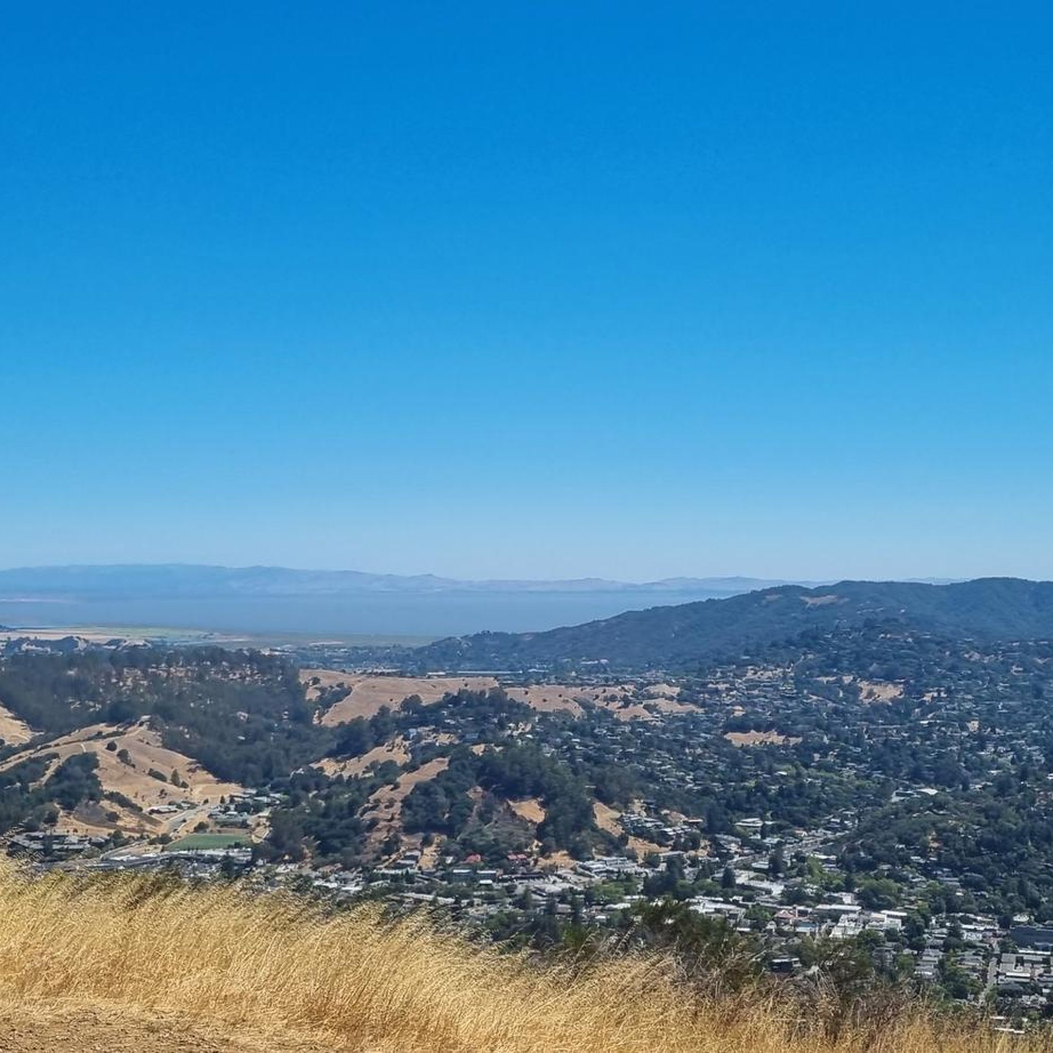
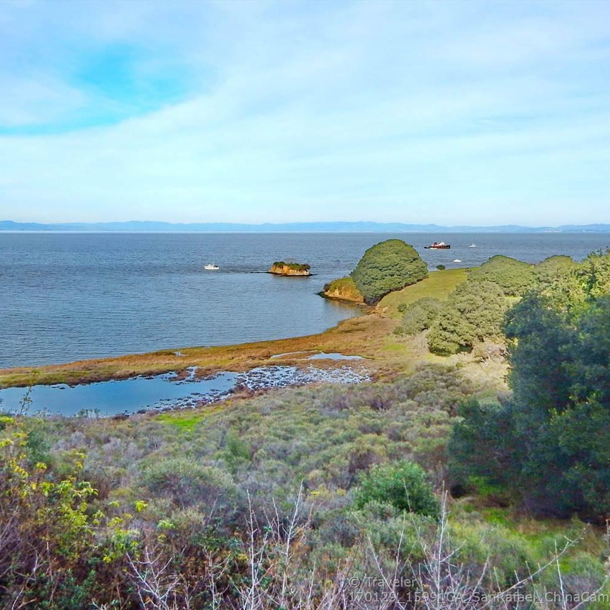
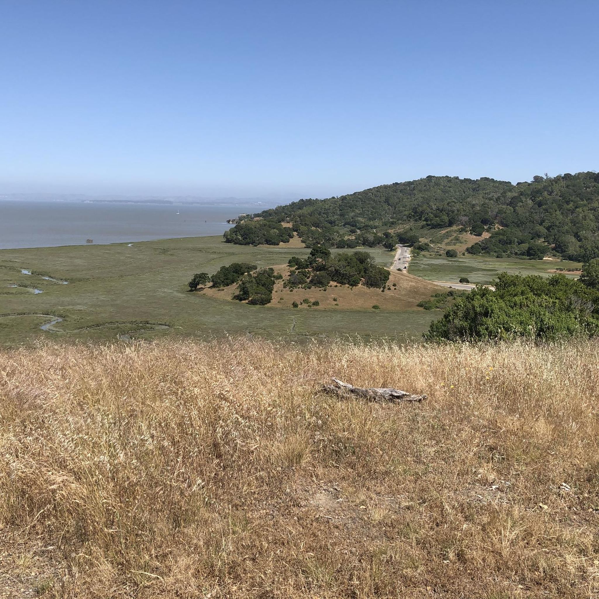
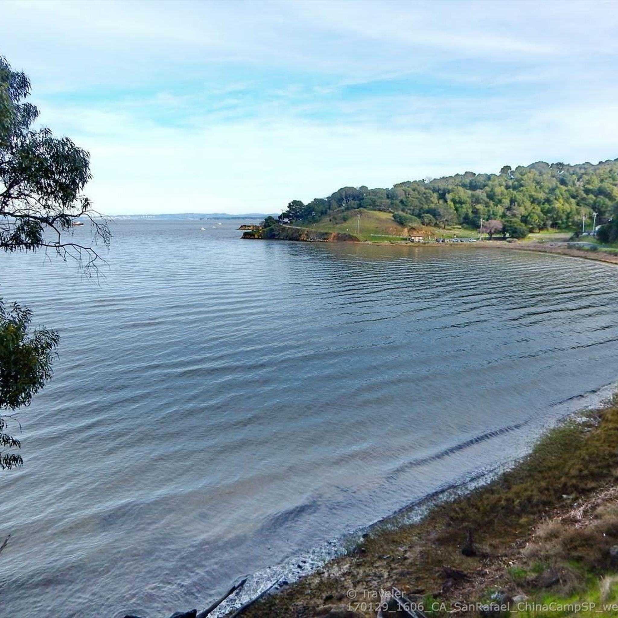
Tips from the Community

Paved section riding on the ridge between Pan Toll Road and Fairfax-Bolinas Road where it contains as Bolinas Ridge Trail, with spectacular views along the way toward the Pacific Ocean and Stinson Beach far below. The road is open during daylight hours only, in winter that means 9am to sunset.
0
0


Constructed in 1917 this dam forms Alpine Lake, which sites between Kent and Bon Tempe Lakes. The road across the top of the dam make it a great place to ride on a loop around the lake.
0
0
This lake was formed by the building of Alpine Dam in 1917. It sits between Kent Lake and Bon Tempe Lake, and is popular for a variety of outdoor activities.
0
0


The Pantoll Campground is a First-come/first-serve site in Mt. Tamalpais State Park. Each site has a barbeque grill, a fire ring, and a picnic table. You need to pay for the site at the Ranger Station as you enter the park.
1
0

From this spot on the Shoreline Highway in Mount Tamalpais State Park you get great views over the smooth road to Gull Rock. This is a lovely spot on a lovely stretch of road along the rugged coast.
0
0

Frequently Asked Questions
What types of road cycling routes can I find around Santa Venetia?
Santa Venetia offers a diverse range of road cycling routes, from multi-use pathways through marshlands to challenging ascents in rolling hills and woodlands. You'll find routes with scenic views of San Pablo Bay and options leading towards Mount Tamalpais, catering to various fitness levels.
Are there road cycling routes suitable for beginners or families in Santa Venetia?
Yes, Santa Venetia provides options for easier rides. The Cal Park Tunnel & Pathway and the Horse Hill Bike Path are part of a network that includes multi-use trails, such as those in the Santa Venetia Marsh Open Space Preserve, which are generally flatter and suitable for a more relaxed pace. The Marin Civic Center to China Camp route is also noted as an approximately 11-mile paved route suitable for easy, educational rides.
What are some challenging road cycling routes for experienced riders?
For experienced riders seeking a challenge, routes like the Nicasio Reservoir loop from Marin Civic Center offer significant elevation gain over its 49.8 miles (80.2 km). The broader Marin County area, accessible from Santa Venetia, includes routes with challenging climbs towards Mount Tamalpais, known for its demanding ascents and stunning ridgeline views.
What are the typical distances of road cycling routes in Santa Venetia?
Road cycling routes around Santa Venetia vary significantly in distance. You can find shorter loops, such as the 21.9 km China Camp Loop, or longer, more demanding rides like the Nicasio Reservoir loop from Marin Civic Center, which spans 49.8 miles (80.2 km). There are also moderate options like the Nicasio – Stafford Lake Park loop from Marin Civic Center at 37.8 miles (60.8 km).
What scenic viewpoints can I expect along road cycling routes in Santa Venetia?
Many routes offer captivating views. You can enjoy unique vistas of marsh grasses and local wildlife at the Santa Venetia Marsh Open Space Preserve, with distant views of Mount Tamalpais. Routes leading towards China Camp State Park provide stunning views overlooking San Pablo Bay. For panoramic views, consider routes that ascend towards Mount Tamalpais or offer glimpses from View of San Francisco Bay from Ring Mountain.
Are there any notable landmarks or attractions to see while road cycling in Santa Venetia?
Yes, several interesting landmarks and natural features are accessible. You can cycle past the historic China Camp State Park Village, explore the Cal Park Tunnel & Pathway, or ride near natural monuments like the Mount Tamalpais Summits. The Old Railroad Grade Trail (upper half) — Mt Tam is also a nearby point of interest.
What is the best time of year for road biking in Santa Venetia?
Marin County, including Santa Venetia, generally offers pleasant cycling conditions year-round. However, spring and fall often provide the most comfortable temperatures and clear skies, ideal for enjoying the diverse landscapes without extreme heat or heavy rainfall. Winter riding is also possible, though some routes might be affected by wetter conditions.
Are there good loop routes for road cycling in Santa Venetia?
Yes, Santa Venetia is well-suited for loop routes. Popular options include the Nicasio – Nicasio Reservoir loop from Marin Civic Center, a 30.0-mile (48.4 km) trail, and the Nicasio – Stafford Lake Park loop from Marin Civic Center, which covers 37.8 miles (60.8 km). The China Camp Loop is another well-known option for scenic circular rides.
Where can I find parking for road biking in Santa Venetia?
Many routes in Santa Venetia originate from or pass by areas with accessible parking, such as the Marin Civic Center. Additionally, various open space preserves and state parks in the region, like China Camp State Park, typically offer designated parking facilities for visitors, providing convenient starting points for your rides.
How do other road cyclists rate the routes in Santa Venetia?
The road cycling routes in Santa Venetia are highly regarded by the komoot community, with an average rating of 4.5 stars from over 120 reviews. Cyclists frequently praise the varied terrain, from marshlands to rolling hills, and the stunning views of San Pablo Bay and Mount Tamalpais.
Can I access road cycling trailheads in Santa Venetia using public transport?
Santa Venetia and the wider Marin County area have some public transport options, primarily bus services, that can connect to various points. While direct access to every trailhead might vary, major hubs like the Marin Civic Center, a common starting point for many routes, are generally well-served by local transit, making it possible to reach some cycling routes without a car.
Are there any less-known or 'hidden gem' road cycling routes in the Santa Venetia area?
While many routes are popular, exploring the network of cycle-friendly roads and multi-use pathways can reveal quieter sections. Consider venturing into areas adjacent to Santa Venetia, such as Lucas Valley-Marinwood, which offers varied road cycling experiences through grasslands with oak trees and past natural features like reservoirs, potentially providing a more secluded ride.
Most popular routes around Santa Venetia
Most popular attractions around Santa Venetia

Get inspired with the komoot mobile app


Explore more
Browse the best Road cycling routes in other regions.
