The best road cycling routes around San Pasqual
4.6
(133)
5,092
riders
81
rides
Road cycling routes around San Pasqual offer diverse terrain, characterized by pastoral lowlands, dramatic granite foothills, and expansive agricultural areas. The region features steep canyons and peaks, providing varied elevation changes for cyclists. Many routes consist of mostly paved surfaces, traversing through scenic valleys and offering wide views. The unique soils support chaparral plant communities, which add to the natural backdrop of the rides.
Best road cycling routes around San Pasqual
- The most popular road cycling route is Brookside Park…
Last updated: June 27, 2026
5.0
(1)
126
riders
52.7km
02:57
930m
930m
Hard road ride. Very good fitness required. Mostly well-paved surfaces and easy to ride.
5.0
(1)
59
riders
64.2km
03:05
790m
790m
Moderate road ride. Good fitness required. Mostly well-paved surfaces and easy to ride.

Sign up for free
52
riders
39.5km
02:25
710m
710m
Moderate road ride. Good fitness required. Mostly well-paved surfaces and easy to ride.
28
riders
51.8km
02:30
340m
340m
Moderate road ride. Good fitness required. Mostly well-paved surfaces and easy to ride.
15
riders
53.4km
02:35
550m
550m
Moderate road ride. Good fitness required. Mostly well-paved surfaces and easy to ride.
Get access to more routes and recommendations from other explorers.
Sign up for free
Already have an account?
Our route recommendations are based on thousands of hikes, rides, and runs completed by other people on komoot.
Start today with a free account
Your next adventure awaits.
Login or Signup

Tips from the Community


There are lots of vintage shops and cafes in the historic downtown. Library Park is a great place to rest in the shade with a bite to eat before continuing your ride.
0
0

Old Town Monrovia is a 10‑block historic district centered on Myrtle Avenue, that has brick‑lined sidewalks, vintage lampposts, and boutique shops.
0
0
Monrovia Recreation Park is 22 acres and has playgrounds, picnic shelters, and restrooms. It is a good spot for a break in the shade and some water.
0
0

San Gabriel Reservoir is a good place to end your route across the mountains, with dramatic views and wide open space. The road curves above the reservoir, making it a great spot to catch your breath and take in the landscape. Early mornings are quieter and cooler—perfect for a break during a long climb.
0
0

Climb out of the Brookside Golf Club area and into the Pasadena suburban area. This climb has a nice shoulder and is lined with trees.
0
0
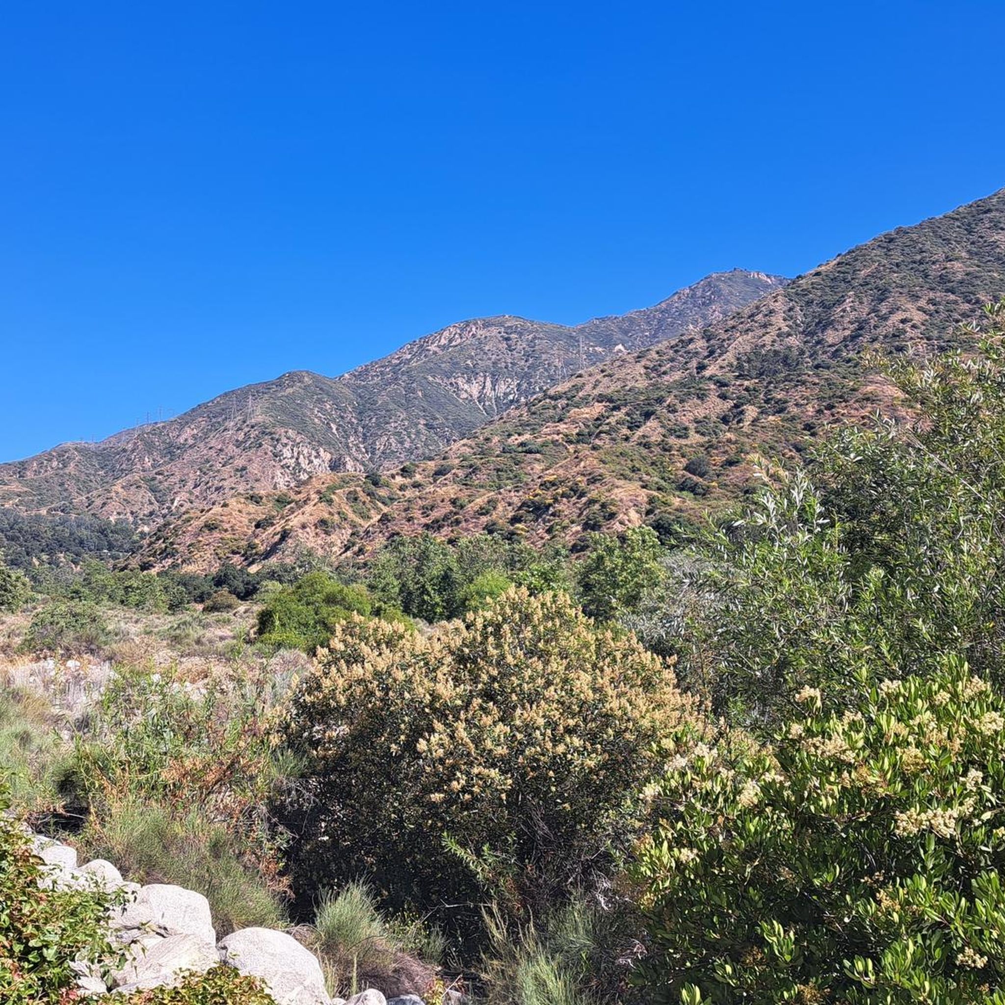
Great view from the cycle path of the San Gabriel Mountains in the distance.
0
0
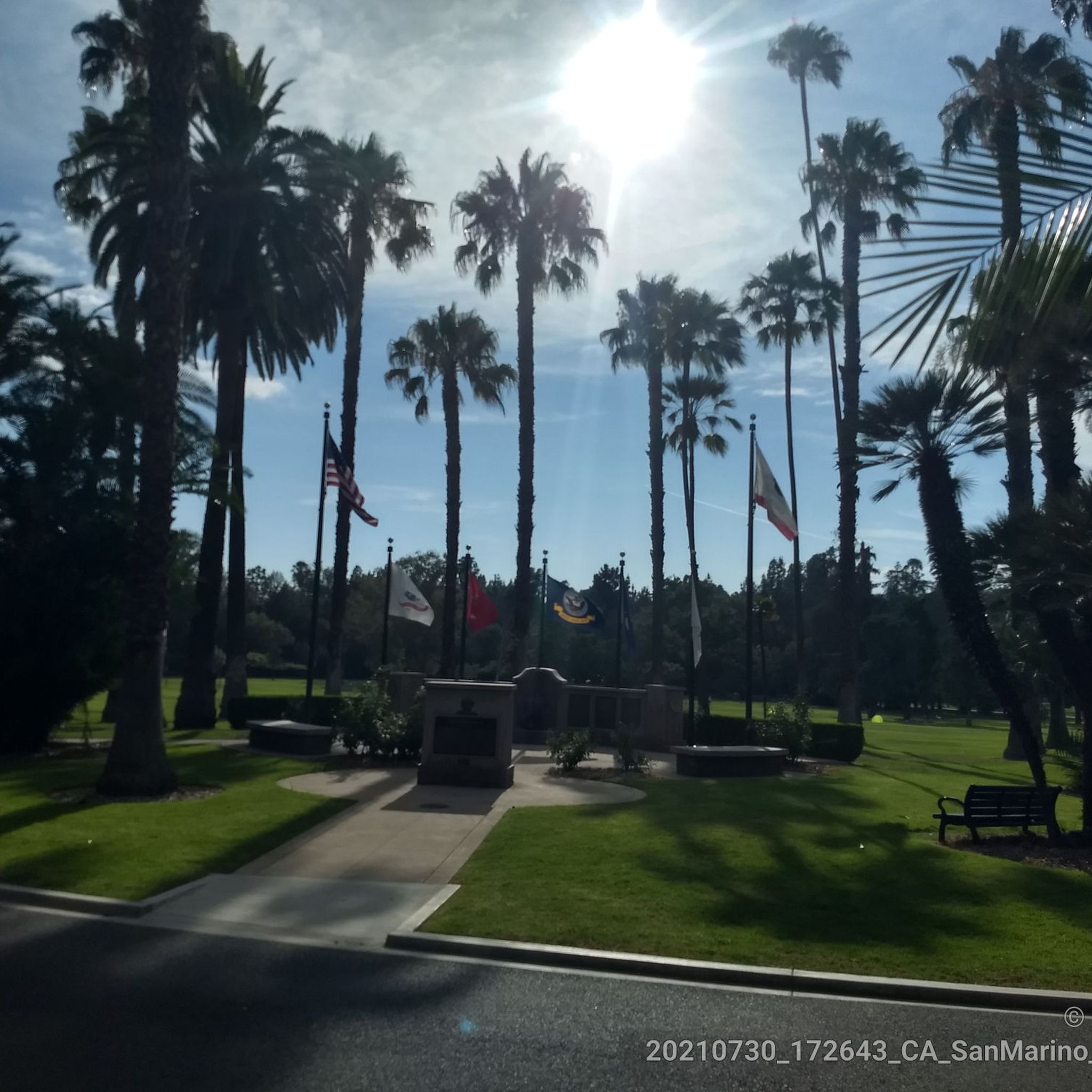
Brookside Park is Pasadena's largest fully maintained park at 61.1 acres. It sits south of Rose Bowl Stadium with tons of parking off Arroyo Boulevard. The park features a lighted baseball diamond, two softball diamonds, and a large, lighted, multi-purpose field for soccer and flag football. There is also a speaker's platform with permanent seating, numerous picnic tables, barbecue pits, a play area, restrooms, and drinking fountains.
0
0
Frequently Asked Questions
How many road cycling routes are available in San Pasqual?
San Pasqual offers a wide selection of road cycling routes, with over 80 routes available on komoot. These routes cater to various skill levels, from easy rides to more challenging ascents.
What kind of terrain can I expect on road cycling routes in San Pasqual?
The San Pasqual Valley provides a diverse cycling experience, featuring pastoral lowlands, agricultural areas, and dramatic granite foothills. You'll encounter varied terrain with both gentle sections and significant elevation changes, offering a good workout amidst scenic views. Many routes are on mostly paved surfaces, ideal for road cycling.
Are there any easy road cycling routes suitable for beginners or families?
Yes, San Pasqual has several easy road cycling options. For a more relaxed ride, consider routes like The Cub House – Lacy Park loop from Sierra Madre Villa, which is rated as easy and covers about 22.8 miles (36.6 km) with minimal elevation gain. The broader San Dieguito River Park, which includes parts of the San Pasqual Valley, also offers multi-use paths like sections of the Coast to Crest Trail that are suitable for biking on easy, undulating terrain.
What are some challenging road cycling routes in the San Pasqual area?
For cyclists seeking a challenge, San Pasqual offers routes with notable elevation gains. Many of the moderate routes, such as Syndicate Coffee – Chantry Flats Trailhead loop from Allen, feature over 800 meters of climbing. The region's steep canyons and peaks provide rewarding climbs and descents for experienced riders.
What do other cyclists say about road biking in San Pasqual?
The road cycling routes in San Pasqual are highly regarded by the komoot community, with an average rating of 4.5 stars from over 120 reviews. Cyclists frequently praise the diverse terrain, from peaceful valley roads to challenging climbs, and the scenic beauty of the chaparral plant communities and agricultural landscapes.
Are there any interesting landmarks or viewpoints along the road cycling routes?
While cycling, you can discover several points of interest. The area is rich in natural beauty and history. You might encounter historical sites like the San Pasqual Battlefield State Historic Park, or enjoy views from areas like Raptor Ridge. For specific viewpoints, consider routes that pass near highlights such as Echo Mountain Ruins and Viewpoint or View from Muir Peak. The Historic Colorado Street Bridge is another notable landmark in the vicinity.
Can I find any natural attractions like waterfalls near the cycling routes?
Yes, the region offers natural attractions. For example, Eaton Canyon Waterfall is a beautiful natural feature located near some of the cycling routes, providing a refreshing stop or a destination for a side trip.
What is the best time of year to go road cycling in San Pasqual?
San Pasqual generally offers pleasant cycling conditions for much of the year. The mild climate of San Diego County makes spring and fall particularly ideal, with comfortable temperatures and less chance of extreme heat. Winter can also be a good time, though occasional rain may occur. Summers can be hot, so early morning rides are recommended during those months.
Where can I find parking for road cycling routes in San Pasqual?
Parking is generally available at various access points and trailheads throughout the San Pasqual Valley. Many routes start from urban areas with street parking or designated lots. For routes accessing the San Dieguito River Park, specific parking areas are often provided. It's advisable to check the starting point of your chosen route for specific parking information.
Are there any cafes or places to stop for refreshments along the routes?
The San Pasqual Valley and surrounding areas offer options for refreshments. While the valley itself is more rural, routes often connect to towns or pass by establishments. For example, the The Cub House is a popular cyclist-friendly spot. Additionally, the Orfila Vineyards & Winery in the San Pasqual Valley provides an opportunity for a stop and taste of local wines.
Are there any specific permits required for road cycling in San Pasqual?
Generally, no specific permits are required for road cycling on public roads and designated multi-use paths in the San Pasqual Valley. However, it's always good practice to be aware of local regulations, especially if venturing into specific parks or open space preserves. Some areas, like certain trails within the San Pasqual and Clevenger Canyon Open Space Park, are designated for hikers and equestrians only, so cyclists should stick to marked cycling routes.
Most popular attractions around San Pasqual

Get inspired with the komoot mobile app


Explore more
Browse the best Road cycling routes in other regions.
