The best running trails around Großer Wariner Lake
4.6
(54)
641
runners
49
runs
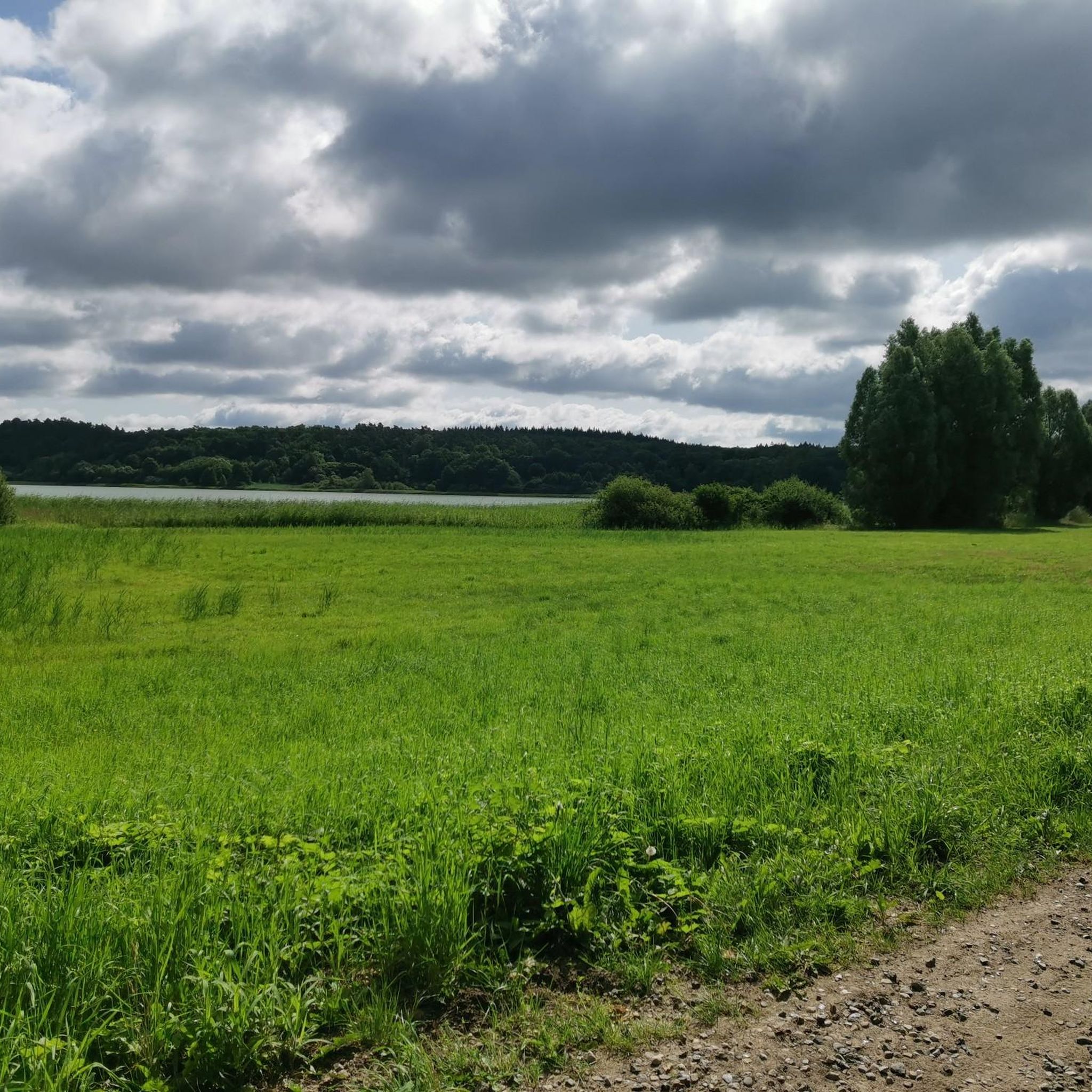
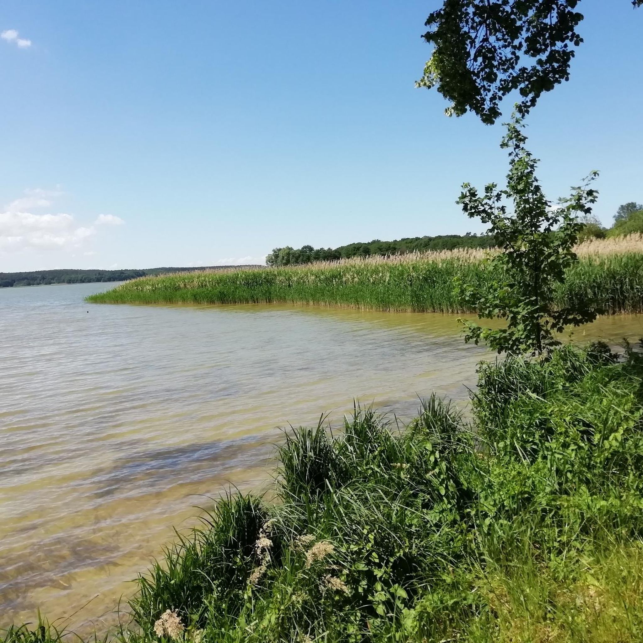
Jogging routes around Großer Wariner Lake offer diverse landscapes, characterized by its glacial origin and varied shorelines. The western bank features predominantly forested paths, while the eastern side provides open views across agricultural land, with a reed belt almost completely encircling the lake. The region is known for its excellent water quality and unique natural attractions like the "Schmalste Lindenallee Deutschlands" and the historical "Hügelgräber Waldheim" (burial mounds). These features provide a dynamic and engaging environment for runners.
Best jogging…
Last updated: June 26, 2026
4.7
(3)
47
runners
6.29km
00:41
30m
30m
Moderate run. Good fitness required. Mostly paved surfaces. Suitable for all skill levels.
9
runners
22.7km
02:27
110m
110m
Hard run. Very good fitness required. Mostly paved surfaces. Suitable for all skill levels.

Sign up for free
3.0
(1)
7
runners
7.55km
00:48
30m
30m
Moderate run. Good fitness required. Mostly paved surfaces. Suitable for all skill levels.
8
runners
12.0km
01:16
60m
60m
Moderate run. Good fitness required. Mostly paved surfaces. Suitable for all skill levels.
4.3
(11)
126
runners
13.1km
01:29
50m
50m
Moderate run. Good fitness required. Mostly paved surfaces. Suitable for all skill levels.
Get access to more routes and recommendations from other explorers.
Sign up for free
Already have an account?
Our route recommendations are based on thousands of hikes, rides, and runs completed by other people on komoot.
Start today with a free account
Your next adventure awaits.
Login or Signup
Tips from the Community

One of the few places where you have a seating area with a view of the beautiful lake.
0
0

The view of Lake Neukloster is simply magnificent. Remember that a popular hiking trail runs along here - so always expect walkers and hikers.
1
0

It is the narrowest lime tree avenue in Germany, and certainly in Mecklenburg-Western Pomerania.
0
0

Here are tree-covered mounds, inside which are Bronze Age tombs. If the two signs weren't right next to this special archaeological site, you'd walk past them without paying any attention.
1
0

great hiking trail and beautiful photo motif
2
0

Here you walk along a narrow path between the trees. Simply great!
2
0

Burial mound south of Warin in the middle of a settlement.
0
0

In the morning you have to be careful with the mosquitoes. There are a lot of people on the way
1
1
Frequently Asked Questions
What types of terrain can I expect on the running trails around Großer Wariner Lake?
The region offers diverse terrain for runners. You'll find paths through shaded forests, especially on the western bank, and open views across agricultural land on the eastern side. Many routes feature a reed belt almost completely encircling the lake, providing a dynamic backdrop. The area's glacial origin means some routes may have moderate elevation changes, while others are relatively flat.
Are there running routes suitable for families or beginners around Großer Wariner Lake?
Yes, there are routes suitable for various fitness levels. While many are moderate, you can find easier options. For example, the Waldheim Burial Mounds loop from Warin is an easy 2.8-mile (4.5 km) trail that takes about 30 minutes, making it a good choice for families or those new to running. The area also features accessible paths.
Can I bring my dog on the jogging trails at Großer Wariner Lake?
Generally, the natural areas around Großer Wariner Lake are welcoming to dogs. However, it's always recommended to keep your dog on a leash, especially in forested areas or near agricultural land, to protect wildlife and respect other users. Always clean up after your pet.
Are there any circular running routes available?
Yes, many of the running routes around Großer Wariner Lake are designed as loops, allowing you to start and end in the same location. For instance, the Huggerath Burial Mound – Waldheim Burial Mounds loop from Warin is a popular moderate circular route covering 4.0 miles (6.5 km).
What unique natural or historical sights can I see while running near Großer Wariner Lake?
The region is rich in unique features. You can run past the 'Schmalste Lindenallee Deutschlands' (narrowest lime tree avenue in Germany), which offers a picturesque path. Additionally, the 'Hügelgräber Waldheim' (burial mounds at Waldheim) provide a blend of nature and Bronze Age history along several routes, such as the Waldheim Burial Mounds loop from Nisbill.
How many running routes are there in the Großer Wariner Lake area?
There are over 50 running routes available around Großer Wariner Lake, catering to various distances and difficulty levels. These include 3 easy routes, 39 moderate routes, and 8 difficult routes, ensuring options for every runner.
What do other runners say about the trails around Großer Wariner Lake?
The running trails around Großer Wariner Lake are highly rated by the komoot community, with an average score of 4.7 stars from over 50 reviews. Runners often praise the diverse landscapes, the mix of forested paths and open views, and the opportunity to combine exercise with historical and natural sights.
Is there parking available near the running trailheads?
Yes, parking is generally available in and around the town of Warin, which serves as a common starting point for many routes. Specific parking information for individual trailheads can often be found on the komoot tour pages or local signage.
What is the best time of year to go running around Großer Wariner Lake?
The region is beautiful year-round, but spring and autumn offer particularly pleasant running conditions with mild temperatures and vibrant scenery. Summer is also popular, especially given the lake's excellent water quality for a post-run dip. Winter running is possible, though paths might be icy or snowy.
Are there any longer, more challenging running routes for experienced runners?
Absolutely. For experienced runners seeking a challenge, the Neuklostersee loop from Warin is a difficult 14.1-mile (22.7 km) path. This route offers a longer distance and more significant elevation changes, providing a demanding and rewarding experience.
Can I reach the running trails around Großer Wariner Lake using public transport?
The town of Warin, located on the southern shore of Großer Wariner Lake, has public transport connections, including bus services. You can plan your journey to Warin, and many running routes start directly from or are easily accessible from the town center.
Are there places to eat or stay near the running routes?
The town of Warin offers various amenities, including cafes and accommodation options. After your run, you can find places to refuel or relax. The area's recreational focus means there are facilities like a lido and sunbathing lawns, indicating a welcoming environment for visitors.
Most popular routes around Großer Wariner Lake

Get inspired with the komoot mobile app


Explore more
Browse the best Running Trails & Routes in other regions.
