The best road cycling routes around Petaluma Center
5.0
(1)
110
riders
3
rides
Road cycling around Petaluma Center features routes through rolling hills and along river corridors. The region is characterized by its agricultural landscapes, occasional coastal views, and proximity to waterways like the Petaluma River. Road cyclists can expect varied terrain, from flatter sections near the river to moderate climbs in the surrounding countryside.
Best road cycling routes around Petaluma Center
- The most popular road cycling route is Dos Piedras loop from Petaluma Center, a 26.8 miles (43.2 km) trail that…
Last updated: September 28, 2026
75
riders
39.4km
01:47
410m
410m
Moderate road ride. Good fitness required. Mostly well-paved surfaces and easy to ride.
5
riders
50.0km
02:41
760m
760m
Moderate road ride. Good fitness required. Mostly well-paved surfaces and easy to ride.

9
riders
55.1km
02:28
490m
490m
Moderate road ride. Good fitness required. Mostly well-paved surfaces and easy to ride.
11
riders
32.7km
01:35
320m
320m
Moderate road ride. Good fitness required. Mostly well-paved surfaces and easy to ride.
4
riders
27.3km
01:15
200m
200m
Easy road ride. Great for any fitness level. Mostly well-paved surfaces and easy to ride.
Our route recommendations are based on thousands of hikes, rides, and runs completed by other people on komoot.
Start today with a free account
Your next adventure awaits.
Popular around Petaluma Center
Tips from the Community

Iconic free standing granite outcrops with caves and polished walls to explore, visible from far away at the top of Dillon Beach Road. A social trail climbs down to explore the caves and cool area between the tall free-standing rock walls.
0
0


Bodega Highway follows scenic Salmon Creek for a few miles as both wind through the Sonoma countryside. Keep an eye out for wineries in the rolling hills.
0
0

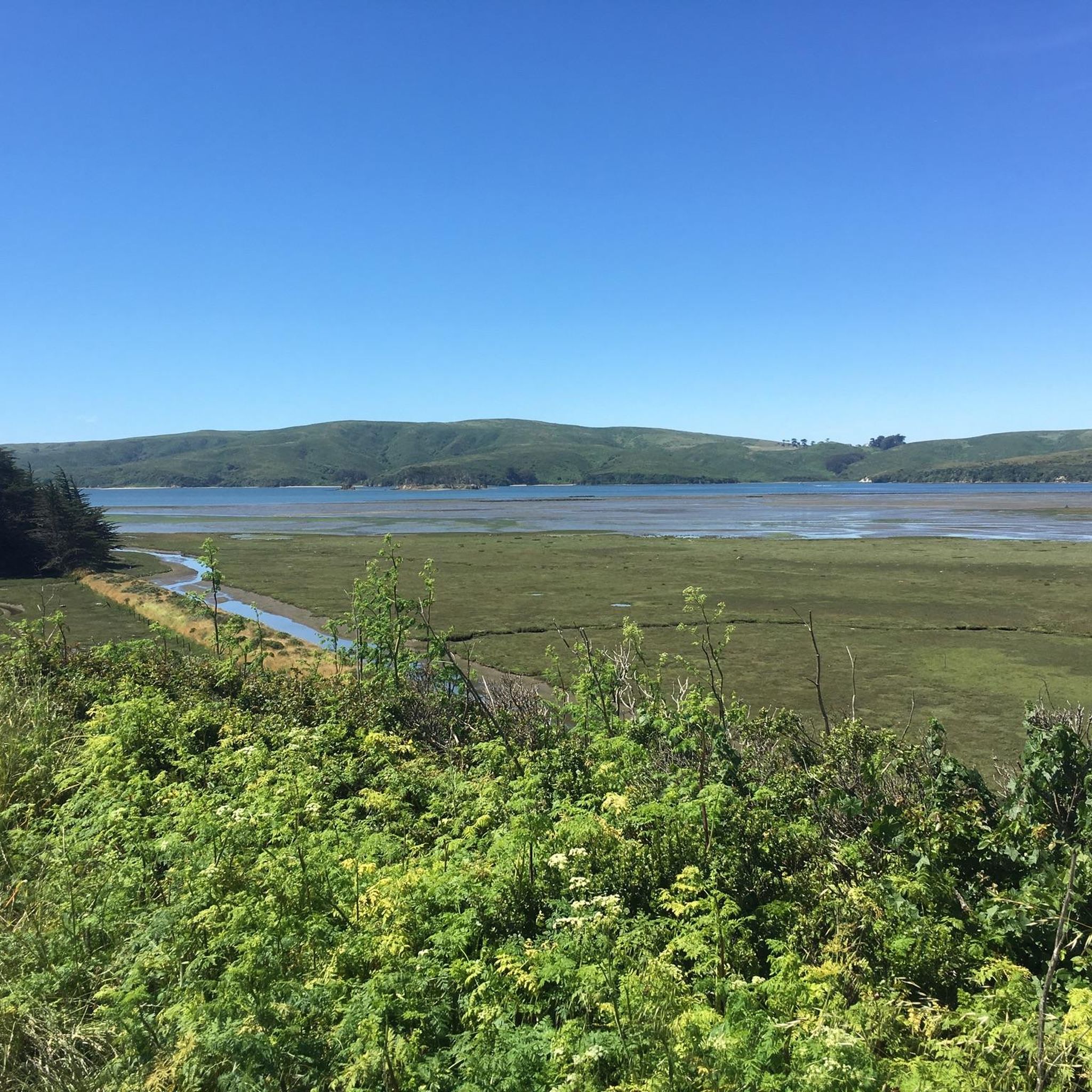
This small coastal lagoon is formed by a sandbar that dams Stemple Creek, which starts in the hills of Marin County and flows west near the mouth of Tomales Bay, southeast to Bodega Bay, northwest of Dillon Beach. A variety of seabirds and water species rely on its natural environment, including 923 acres of associated wetlands. The California Department of Fish and Wildlife identifies this marine protected area as one of the most significant habitat areas in the state.
1
0


Sweet and or savory but a great place to stop in between rides
0
0

A few scenes for the film "The Fog" were filmed here in 1980.
1
0

There is a water fountain here and a bench. Great stop.
1
0
Frequently Asked Questions
Are there road cycling routes suitable for beginners in Petaluma Center?
Yes, Petaluma Center offers routes suitable for various skill levels. While most routes are moderate, the region's terrain, characterized by rolling hills and river paths, provides a good introduction to road cycling. For a relatively balanced ride, consider the Petaluma Pie Company – Petaluma River loop from Petaluma Center, which covers 20.3 miles (32.7 km) with moderate elevation.
What are some longer road cycling routes available around Petaluma Center?
For those looking for longer rides, the area offers several options. The Nick's Cove and Boat Launch – Tomales loop from Tomales is a moderate 34.2 miles (55.1 km) path, providing views of the Tomales Bay area. Another substantial option is the Estero de San Antonio – Tomales loop from Tomales, which is 31.1 miles (50.0 km) long and features more significant elevation gain.
Are there any road cycling routes that offer scenic viewpoints or coastal views?
Absolutely. The region provides opportunities for scenic rides, especially towards the coast. The Nick's Cove and Boat Launch – Tomales loop from Tomales offers views of the Tomales Bay area and its coastal surroundings. While not directly coastal, routes through the agricultural landscapes and rolling hills also provide picturesque vistas of the Sonoma County countryside.
What kind of terrain can I expect on road cycling routes in Petaluma Center?
Road cycling around Petaluma Center features varied terrain. You can expect routes through rolling hills and along river corridors, characterized by agricultural landscapes. There are flatter sections near the Petaluma River, combined with moderate climbs in the surrounding countryside, offering a good mix for cyclists.
Are there any circular road cycling routes in the Petaluma Center area?
Yes, many of the road cycling routes in the Petaluma Center area are designed as loops, allowing you to start and end at the same point. Examples include the popular Dos Piedras loop from Petaluma Center and the Petaluma Pie Company – Petaluma River loop from Petaluma Center.
What are some interesting landmarks or attractions I can see along road cycling routes near Petaluma Center?
Several routes pass by or near interesting points. For instance, the Dos Piedras loop from Petaluma Center is named after the Two Rock (Dos Piedras) Memorial. Other routes might bring you close to Tomales, a historic settlement with a historic downtown, including the Tomales Regional History Center.
What is the best season for road biking in the Petaluma Center region?
The Petaluma Center region generally offers pleasant road cycling conditions for much of the year. Spring and fall are often ideal, with mild temperatures and beautiful scenery. Summers are typically warm and dry, while winters are milder than many other regions, though you might encounter some rain. Always check local weather forecasts before heading out.
Are there any road cycling routes that pass near cafes or places to stop for refreshments?
Yes, some routes are designed to pass through or near towns and establishments where you can find refreshments. For example, the Petaluma Pie Company – Petaluma River loop from Petaluma Center suggests a stop at the Petaluma Pie Company. Routes that venture towards Tomales also offer opportunities to visit local establishments in its historic downtown.
How many road cycling routes are available around Petaluma Center?
There are several road cycling routes available around Petaluma Center, with komoot featuring a selection of popular options. Currently, there are at least 5 distinct road cycling routes detailed, offering a variety of distances and experiences for cyclists.
What do other road cyclists enjoy most about road cycling in Petaluma Center?
The road cycling routes in Petaluma Center are highly rated by the komoot community, with an average score of 5.0 stars. Cyclists often praise the varied terrain, which includes a mix of river paths, agricultural fields, and rolling hills, providing both scenic beauty and a good workout.
Are there options for more challenging road cycling in the Petaluma area?
While most routes in the immediate Petaluma Center area are rated as moderate, some offer more significant elevation gains for a greater challenge. For instance, the Estero de San Antonio – Tomales loop from Tomales includes over 760 meters of elevation gain over its 31.1 miles, providing a more demanding ride.
Can I find road cycling routes that are accessible by public transport in Petaluma Center?
While specific public transport access points for trailheads are not detailed for every route, Petaluma Center itself is a hub for local transit. You can plan your route to start from accessible points within the city, such as the starting point for the Dos Piedras loop from Petaluma Center, and then cycle out into the surrounding areas.
Most popular routes around Petaluma Center
Most popular attractions around Petaluma Center

Get inspired with the komoot mobile app


Explore more
Browse the best Road cycling routes in other regions.
