The best running trails around Penngrove
5.0
(2)
106
runners
31
runs
Jogging around Penngrove offers a variety of running experiences through its diverse landscape. The region features river park trails, regional parks, and routes that ascend into the Sonoma Mountain area. Runners can explore flat, accessible paths along waterways or take on more challenging trails with significant elevation changes.
Best jogging routes around Penngrove
- The most popular jogging route is Petaluma River Park Trail, an easy 1.5 miles (2.4 km) trail that takes 16 minutes to complete. This route offers…
Last updated: August 18, 2026
1
runners
2.41km
00:16
0m
0m
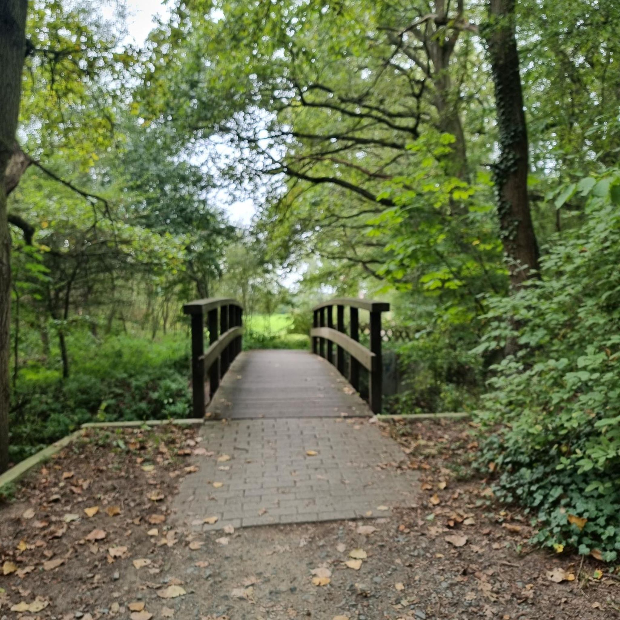
The Petaluma River Park Trail offers a delightful and accessible jogging experience along the Petaluma River, perfect for a quick escape into nature. This easy 1.5-mile (2.4 km) route features…
11
runners
Hard run. Very good fitness required. Sure-footedness, sturdy shoes and alpine experience required.

Sign up for free
5.0
(2)
18
runners
13.2km
01:34
250m
250m
Moderate run. Good fitness required. Mostly paved surfaces. Suitable for all skill levels.
6
runners
7.97km
00:50
80m
80m
Moderate run. Good fitness required. Mostly paved surfaces. Suitable for all skill levels.
3
runners
8.46km
00:53
50m
50m
Moderate run. Good fitness required. Mostly paved surfaces. Suitable for all skill levels.
Get access to more routes and recommendations from other explorers.
Sign up for free
Already have an account?
Our route recommendations are based on thousands of hikes, rides, and runs completed by other people on komoot.
Start today with a free account
Your next adventure awaits.
Login or Signup
Popular around Penngrove

Tips from the Community


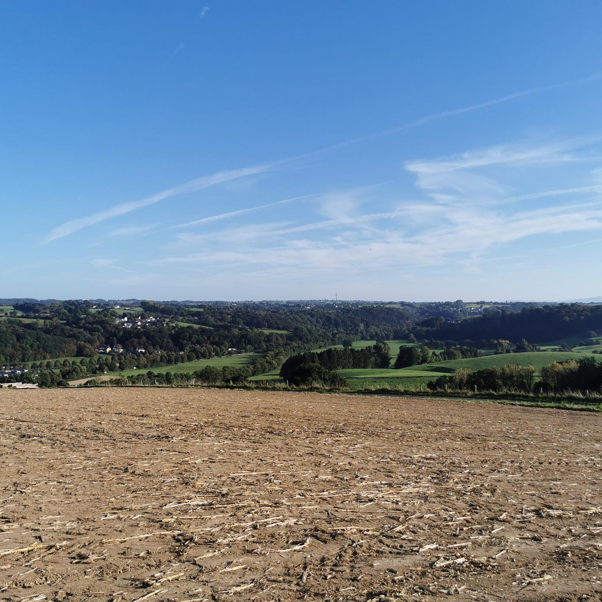
Reaching up to an elevation of roughly 2,300 feet, Sonoma Mountain is no wimpy hill. It's a tough hike to the top, regardless of which route you use to get there, but the endless views are more than rewarding. There is a bench and a shade tree near the summit for good measure.
1
0

Steamer Landing Park is a 10-acre park on the on McNear Peninsula. There are several miles of trails in the park, benches and picnic tables to take in the great views, and restrooms.
0
0

The North Sonoma Mountain Ridge Trail winds through oak woodlands, grassy slopes, and redwood groves, with beautiful views of Sonoma Valley and the North Bay peaks. This 4-mile Bay Area Ridge Trail segment climbs nearly 2,000 feet and connects to Jack London State Historic Park—ideal for an extended hike. As you explore, you'll get the perfect mix of shaded forest and open ridgelines, with plenty of wildflowers along the way, especially during spring.
0
0

Helen Putnam Regional Park is a small park in the south of Petaluma. It has several miles of trails that loop through the park and several view points.
0
0
Cattail Pond is a small pond in Helen Putnam Regional Park. There are two paths that run alongside the water, one is paved and the other is unpaved.
0
0
Great view of the valley, Sonoma Mountain, and Mt Saint Helena from Helen Putnam Regional Park. The walk to get to the viewpoint is not too challenging, so it is definitely worth stopping to enjoy the view.
0
0
Reaching up to an elevation of roughly 2,300 feet, Sonoma Mountain is no wimpy hill. It's a tough pedal to the top, regardless of which route you use to get there, but the endless views are more than rewarding. There is a bench and a shade tree near the summit for good measure.
0
0
Frequently Asked Questions
Are there easy running routes suitable for beginners in Penngrove?
Yes, Penngrove offers several easy routes. The Petaluma River Park Trail is an excellent option, being a flat 1.5-mile (2.4 km) path perfect for a quick, gentle run. Overall, there are 4 easy routes available in the area.
Where can I find challenging running trails around Penngrove?
For those seeking a challenge, Penngrove features routes with significant elevation gain. The North Sonoma Mountain Trail – Summit of Sonoma Mountain loop from Creekside Picnic Area is a difficult 9.4-mile (15.1 km) path that ascends into the Sonoma Mountain area, offering a strenuous workout.
Are there any long-distance running trails in the Penngrove area?
Yes, you can find longer running trails. The Cattail Pond – Helen Putnam Regional Park loop from Petaluma Downtown is a substantial 9.6-mile (15.5 km) route, ideal for a longer run through varied terrain.
What kind of scenery can I expect on Penngrove's jogging routes?
Penngrove's running routes offer diverse scenery, ranging from flat river park trails along waterways to paths that climb into the Sonoma Mountain area, providing scenic views. You'll experience a mix of natural landscapes, including regional parks and mountain vistas.
Are there loop running trails available in Penngrove?
Many of Penngrove's running routes are designed as loops, offering a convenient way to explore without retracing your steps. Examples include the Cattail Pond – Helen Putnam Regional Park loop from Petaluma Downtown and the North Sonoma Mountain Trail – Summit of Sonoma Mountain loop from Creekside Picnic Area.
What do other runners enjoy most about jogging in Penngrove?
The running routes in Penngrove are highly rated by the komoot community, with an average score of 5.0 stars from 3 reviews. Runners often praise the variety of experiences, from accessible river paths to challenging mountain ascents, catering to different ability levels.
Are there any interesting landmarks or attractions near the running trails?
Yes, several attractions are close to the running routes. You can explore the historic Petaluma Adobe 🏡 or visit the town of Petaluma itself, which some routes pass through or start near.
Can I find running routes with parking in Penngrove?
Many regional parks and trailheads in the Penngrove area, such as those leading to Helen Putnam Regional Park or Sonoma Mountain, typically offer designated parking areas for visitors, making access to the trails convenient.
Are there any running trails that pass through or near Petaluma Downtown?
Yes, some routes connect Penngrove with Petaluma. For instance, the Cattail Pond – Helen Putnam Regional Park loop starts from Petaluma Downtown, and the Petaluma – Petaluma River loop also originates there, offering urban and river park running experiences.
How many running routes are available in the Penngrove region?
There are over 25 running routes available around Penngrove, offering a wide range of options for different preferences and fitness levels.
What is the best time of year to go running in Penngrove?
Penngrove's climate generally allows for running year-round. Spring and fall offer pleasant temperatures, while summer mornings are ideal before the heat sets in. Winter runs can be refreshing, though some trails might be muddy after rain.
Are there any running routes that offer views of the Petaluma River?
Absolutely. The Petaluma River Park Trail is a prime example, offering flat, accessible paths directly alongside the river. Another option is the Petaluma – Petaluma River loop, which also provides scenic river views.
Most popular routes around Penngrove
Most popular attractions around Penngrove

Get inspired with the komoot mobile app


Explore more
Browse the best Running Trails & Routes in other regions.
