The best walks and hikes around Viereggenhöfer Teich
4.5
(1771)
8,938
hikers
377
hikes
Hiking around Viereggenhöfer Teich offers a network of trails primarily featuring the lake's shoreline and surrounding woodlands. The terrain is generally flat or gently undulating, making it accessible for various fitness levels. The area provides opportunities for walks near water bodies and through green spaces, characteristic of the Northwest Mecklenburg region.
Best hiking trails around Viereggenhöfer Teich
- The most popular hiking route is Old Harbour, Wismar – Old Swede, Wismar loop from Wismar, a 5.4 miles (8.6 km) trail…
Last updated: May 11, 2026
5.0
(6)
70
hikers
8.63km
02:15
50m
50m
Moderate hike. Good fitness required. Easily-accessible paths. Suitable for all skill levels.
5.0
(1)
16
hikers
Easy hike. Great for any fitness level. Easily-accessible paths. Suitable for all skill levels.

Sign up for free
4.4
(5)
29
hikers
6.19km
01:35
20m
20m
Easy hike. Great for any fitness level. Easily-accessible paths. Suitable for all skill levels.
1
hikers
9.84km
02:32
50m
50m
Moderate hike. Good fitness required. Easily-accessible paths. Suitable for all skill levels.
4.0
(3)
23
hikers
Easy hike. Great for any fitness level. Easily-accessible paths. Suitable for all skill levels.
Get access to more routes and recommendations from other explorers.
Sign up for free
Already have an account?
Our route recommendations are based on thousands of hikes, rides, and runs completed by other people on komoot.
Start today with a free account
Your next adventure awaits.
Login or Signup
Tips from the Community

Unfortunately, the old mill is falling into disrepair over time, but the charm of bygone years is still clearly recognizable.
0
0

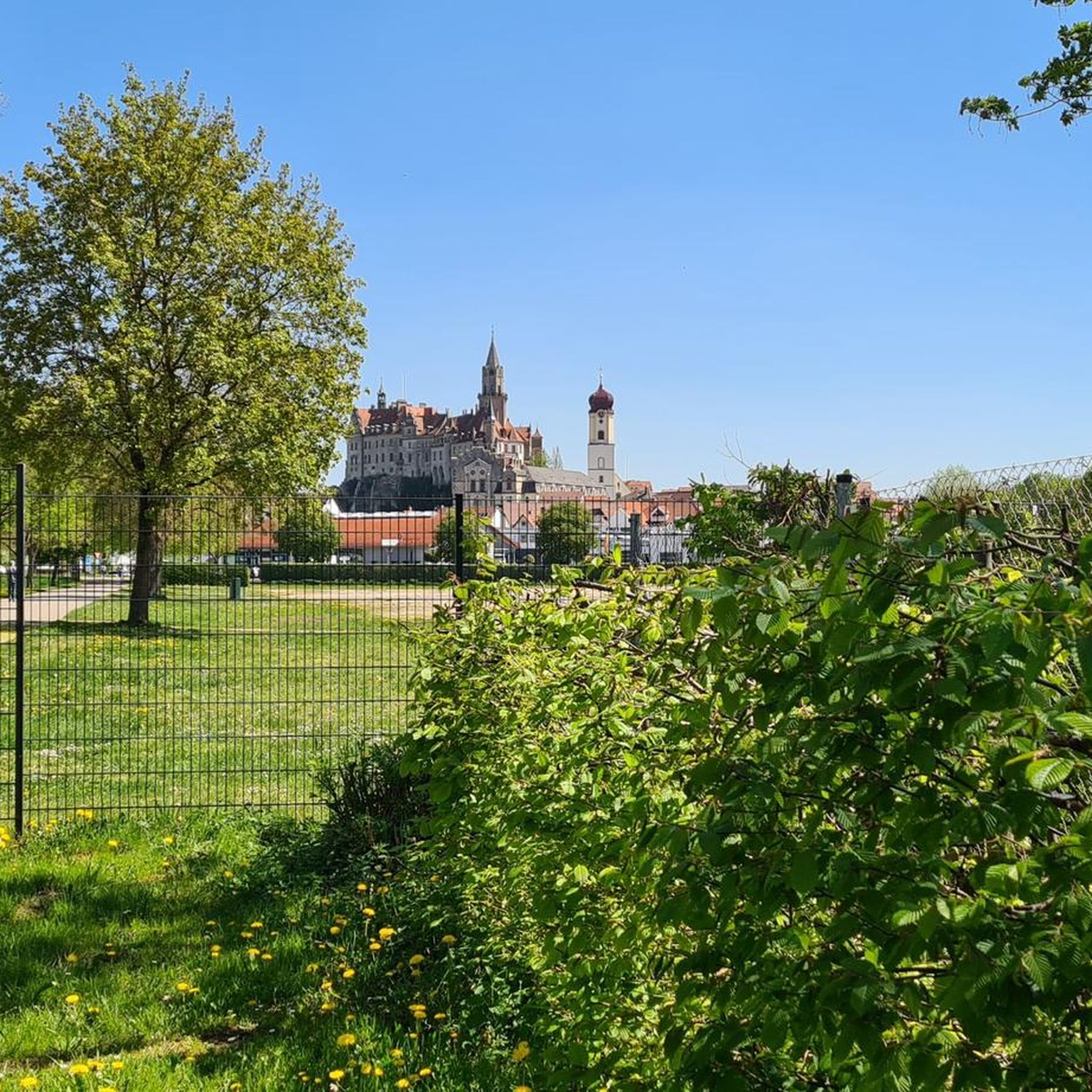
From here you can enjoy a beautiful view of Wismar's old town across the meadow.
0
0

The core of the listed Dielenhaus dates back to the 16th century.
2
1

Located directly on the market square, it boasts well-preserved buildings from various centuries and architectural styles. Today, it houses the Citizens' Office and the Finance Administration.
1
0

At the trout pond, so slippery and bright, the tadpoles drone, the music of the waves. You cast the bait, the waves laugh, the trout pirouette – bright. A worm in the hat, the fishing rod purrs, the boat puffs, the cries tachy: "Fish, you're the star tonight, but look how nimble you are!" The fish look over with envy at the heroes who are counting money here. "Only with patience and a little courage, you'll catch us if you just do: Ruh'nfoot!" A child with fins, doing pull-ups carp-style, giggles: "More snacks, more style!" The pond side cheers, Mrs. Mustache sings: "Who knows the trick, who's got that thing?" In the end, alas, the pond remains clear, the trout laugh, the sun be. Because fishing is most fun when everyone stays fair – and no one gets wet.
0
0

Fish ladder of the Wallensteingraben. Left and right with fish ponds of Gröning's smokehouse
1
0

The grounds of the former mill are not accessible. However, you can see the ruins from the road and the eastern side. East of the ruins is also a beautiful lake-sized pond.
3
2
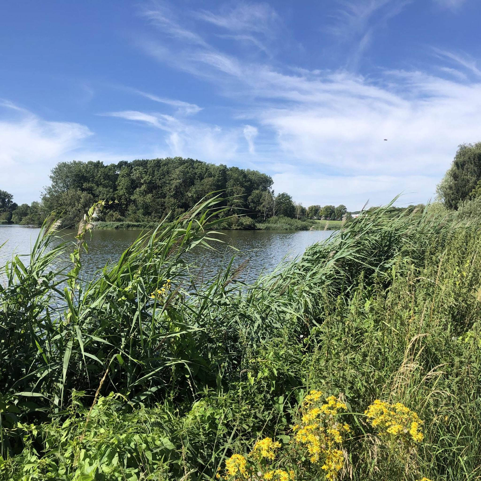
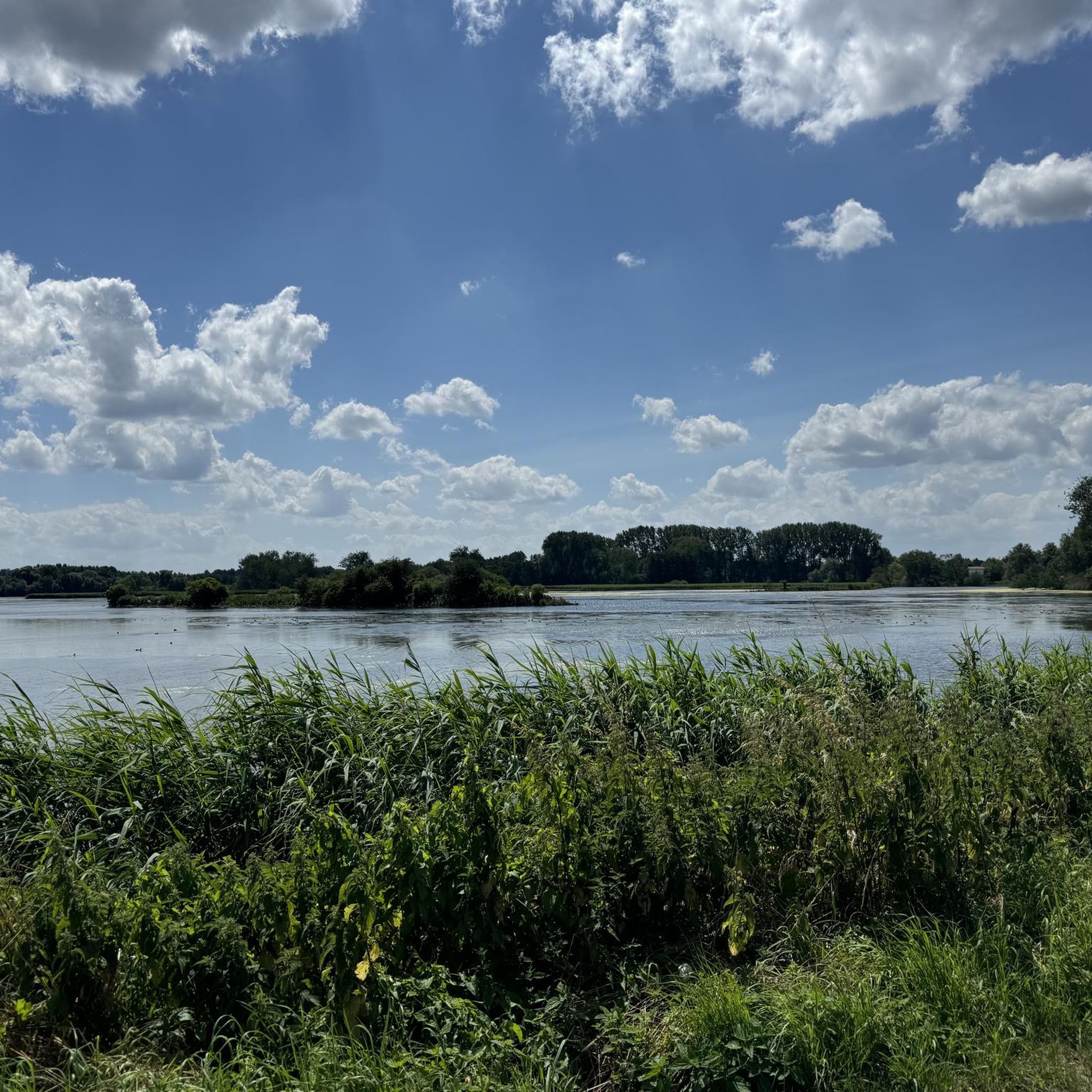
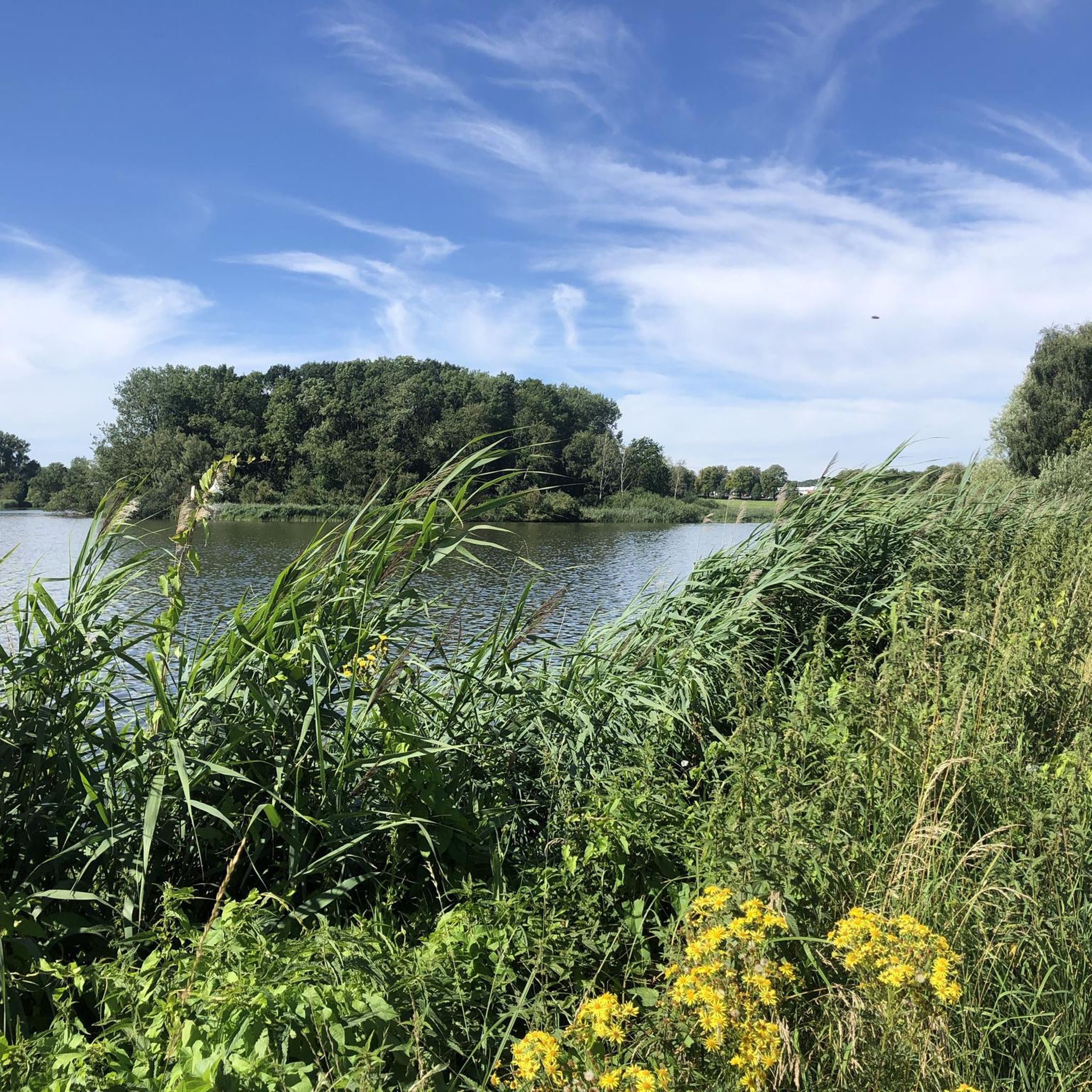
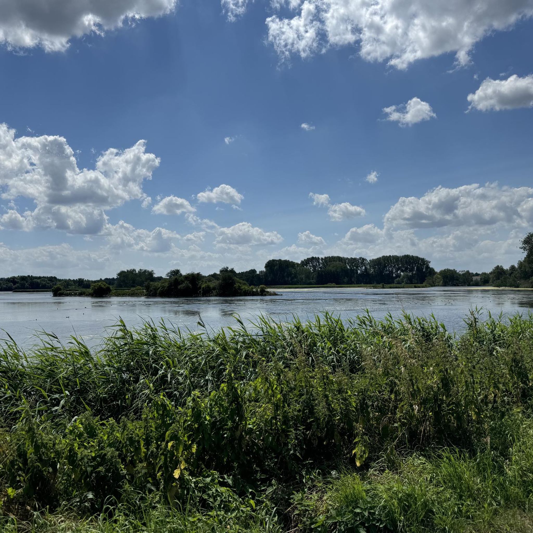
From here, you can see a small island in the Viereggenhöfer Pond. It's probably smaller than the Langenwerder bird sanctuary. However, you can see the birds from the shore. It's not a bad idea to bring binoculars, though. The path along the shore was a dead end in June 2025 due to the blackberry bushes to the northwest.
3
2
Frequently Asked Questions
How many hiking trails are available around Viereggenhöfer Teich?
There are over 370 hiking routes around Viereggenhöfer Teich. The area offers a diverse network of trails, from easy strolls to more moderate hikes, catering to various preferences and fitness levels.
Are there easy hiking trails suitable for beginners or families with children?
Yes, Viereggenhöfer Teich is very beginner and family-friendly, with over 230 easy routes. Many trails feature flat or gently undulating terrain near the lake's shoreline and through woodlands. An excellent option is the Fischereihof Shelter – Fish ladder near Wismar loop from Wismar, an easy 6.2 km path with lakeside views.
What is the typical duration and length of hikes in this area?
Hikes around Viereggenhöfer Teich vary in length and duration. Many popular routes are between 5 to 10 km, taking 1.5 to 3 hours to complete. For example, the Die Scheune Restaurant loop from Wismar is 5.5 km and typically takes about 1 hour 24 minutes.
Are dogs allowed on the hiking trails around Viereggenhöfer Teich?
Generally, dogs are welcome on the hiking trails around Viereggenhöfer Teich. However, it's always recommended to keep them on a leash, especially in nature protection areas or near wildlife. Please be mindful of other hikers and local regulations.
What is the best season to go hiking in Viereggenhöfer Teich?
The best seasons for hiking around Viereggenhöfer Teich are spring, summer, and autumn. Spring brings blooming nature, summer offers pleasant temperatures for lakeside walks, and autumn provides beautiful foliage. While winter hiking is possible, some paths might be icy or muddy, so appropriate gear is essential.
Are there any circular hiking routes available?
Yes, many of the trails around Viereggenhöfer Teich are circular routes, offering convenient starting and ending points. A popular moderate circular option is the Old Harbour, Wismar – Old Swede, Wismar loop from Wismar, which is 8.6 km long and takes about 2 hours 14 minutes.
Where can I find parking for hiking trails near Viereggenhöfer Teich?
Parking is generally available at various access points around Viereggenhöfer Teich and in nearby Wismar. Specific parking areas are often indicated on komoot tour pages or local signage. It's advisable to check the starting point of your chosen route for the most convenient parking options.
What do other hikers enjoy most about the trails in Viereggenhöfer Teich?
The komoot community highly rates the hiking experience around Viereggenhöfer Teich, with an average score of 4.4 stars from over 1600 reviews. Hikers often praise the tranquil lake shores, the gentle woodlands, and the accessibility of the trails for various fitness levels. The blend of natural beauty and proximity to Wismar's historic charm is also frequently highlighted.
Are there any scenic viewpoints or notable landmarks along the trails?
While the area is known for its serene lake and woodland paths, many routes offer picturesque views of the Viereggenhöfer Teich itself. Trails often pass through green spaces characteristic of the Northwest Mecklenburg region. The nearby city of Wismar, a UNESCO World Heritage site, also offers historic sights like its old harbour, which can be incorporated into longer walks.
Can I find cafes or restaurants near the hiking routes?
Yes, there are options for refreshments. The nearby city of Wismar offers a variety of cafes and restaurants. Some routes, like the Die Scheune Restaurant loop from Wismar, even pass directly by eateries, providing convenient stops for hikers.
Are there any alternative hiking areas or attractions close to Viereggenhöfer Teich?
Beyond Viereggenhöfer Teich, the broader Wismar area offers additional hiking opportunities. For example, the Wismar Animal Park – Köppernitz Valley Trails loop from Wismar provides a different landscape to explore, combining nature with a visit to the animal park.
Most popular routes around Viereggenhöfer Teich

Get inspired with the komoot mobile app


Explore more
Browse the best Hikes in other regions.
