The best walks and hikes around North Richmond
4.4
(21)
405
hikers
75
hikes
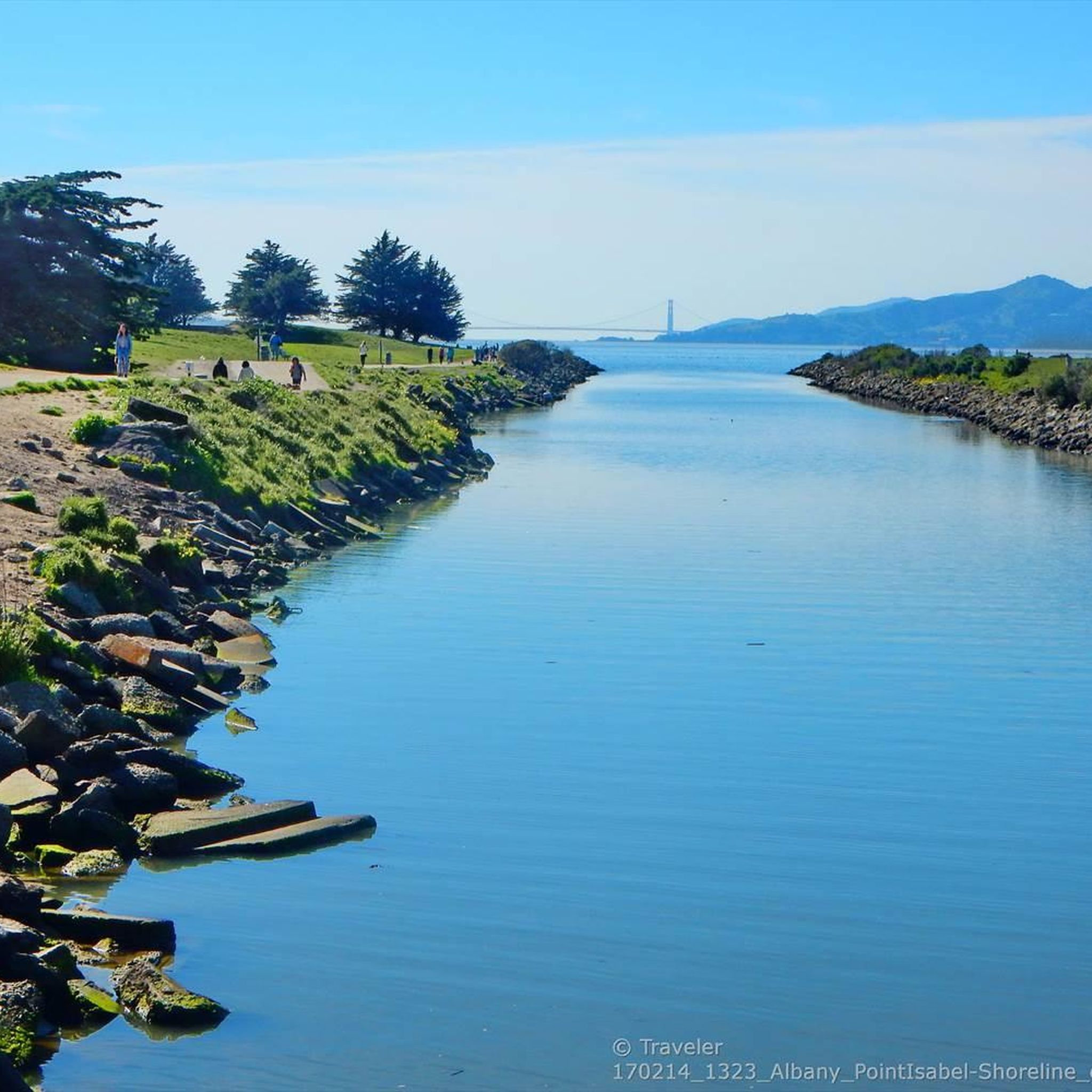
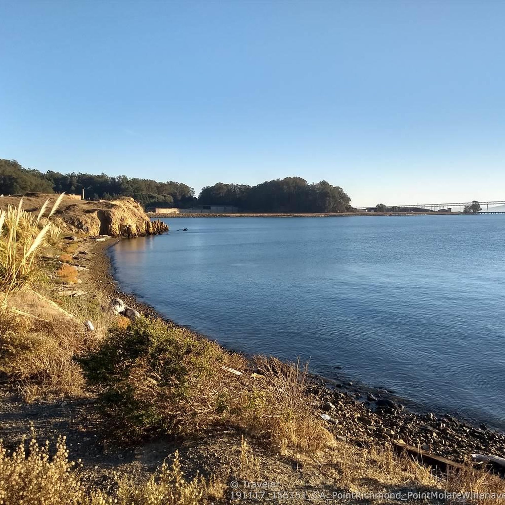
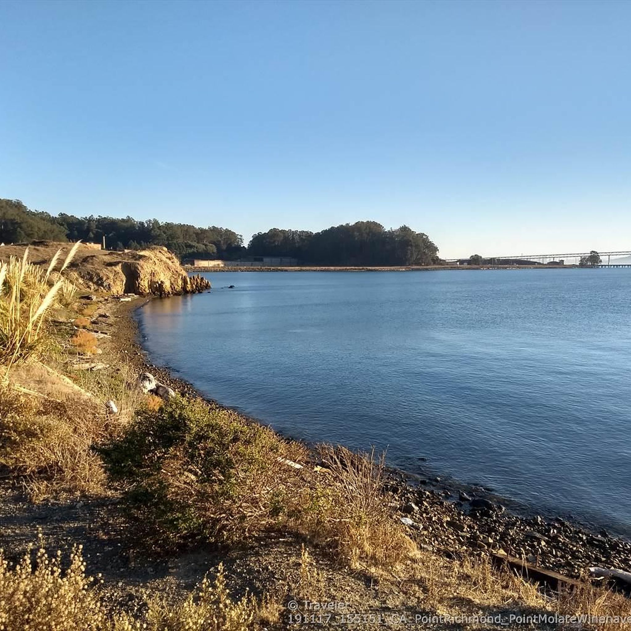
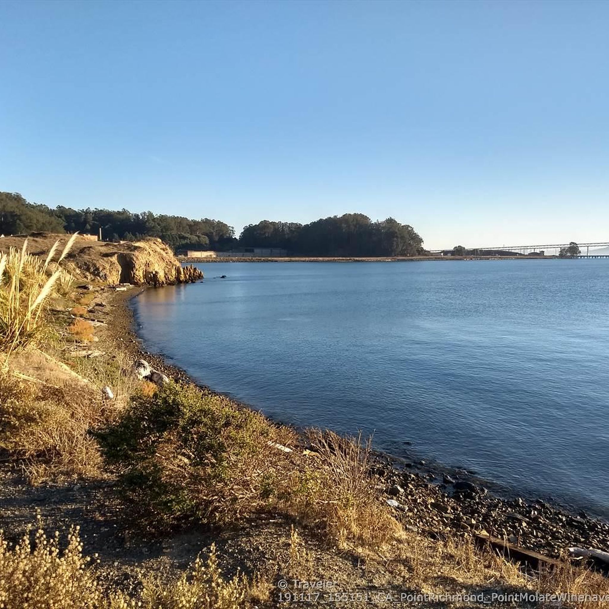
Hiking around North Richmond, California, provides access to shoreline parks with trails through meadows and eucalyptus groves. The area is characterized by its proximity to San Pablo Bay, offering generally flat terrain with expansive water views. Most routes are located within regional parks, featuring a mix of paved and unpaved paths suitable for walking and hiking.
Best hiking trails around North Richmond
- The most popular hiking route is Point Pinole Pier loop — Point Pinole Shoreline Regional Park, a…
Last updated: May 10, 2026
3
hikers
5.66km
01:29
40m
50m
The Bay View Trail offers an easy hiking experience through the Point Pinole Regional Shoreline, where you can enjoy open spaces and refreshing bay breezes. This route covers 3.5 miles…
1.21km
00:18
0m
0m
The China Clipper Spur and Cordgrass Jetty Trail offers an easy hike through a coastal wetland environment. You can expect to walk along a jetty, providing unique views of the…

Sign up for free
5.0
(1)
18
hikers
7.77km
02:00
40m
40m
Embark on an easy hike along the Point Pinole Loop Trail, a 4.8-mile (7.8 km) route that offers a refreshing escape. You will experience diverse scenery, from open grasslands to…
4
hikers
3.98km
01:00
0m
0m
Embark on an easy hike along the San Francisco Bay Trail, a pleasant route spanning 2.5 miles (4.0 km) with a minimal elevation gain of just 14 feet (4 metres).…
3
hikers
3.05km
00:47
10m
10m
Embark on an easy hike along the San Francisco Bay Trail, a pleasant route that stretches for 1.9 miles (3.1 km). You will experience minimal elevation gain, just 27 feet…
Get access to more routes and recommendations from other explorers.
Sign up for free
Already have an account?
Our route recommendations are based on thousands of hikes, rides, and runs completed by other people on komoot.
Start today with a free account
Your next adventure awaits.
Login or Signup

Tips from the Community

Concrete fishing pier with excellent views across the bay. It juts out into the Carquinez Strait, with a fish cleaning station at the halfway point.
0
0

The Bay Trail is a short trail leading through the Dotson Family Marsh to the Point Pinole Regional Park, where it connects to various other trails. The multi-use trail crosses nice boardwalks and is mostly used for hiking, biking, and running.
0
0
The Owl Alley Trail is a multi-use gravel trail in the Point Pinole Regional Park. It leads through open meadows with nice views of the bay and can be combined with several other trails in the area to extend your hike.
0
0

This spot is one of many fantastic stopping points to grab your camera and take some incredible photos of the beautiful bay.
0
0

This pier is a highlight of Point Pinole Shoreline Regional Park. Fishing off the pier is good (check local regulations), and there's a blue gum eucalyptus forest nearby.
1
0
Long concrete fishing pier jutting out into the Carquinez Strait, with a fish cleaning station and great views.
0
0

Definitely worth the short detour from the main bike trail.
0
0
Beautiful spot for rest on a bench with a view.
0
0
Frequently Asked Questions
Is this guide for North Richmond, California or Australia?
This guide focuses on North Richmond, California, in the San Francisco Bay Area. The hikes explore the shoreline parks along San Pablo Bay.
Are dogs allowed on the hiking trails in North Richmond?
Yes, dogs are generally welcome in the regional parks around North Richmond, but they must be on a leash. Parks like Point Pinole Regional Shoreline and Wildcat Canyon Regional Park have specific rules, so it's always a good idea to check the East Bay Regional Park District's guidelines before you go.
What are the trails like for beginners or families with kids?
The area is excellent for beginners and families. Most trails, especially in Point Pinole Regional Shoreline, are flat and well-maintained. A great option is the Bay Trail to Point Pinole Regional Park via Dotson Family Marsh, which is a very gentle walk with views of the marshlands.
Are there any circular or loop hikes available?
Yes, there are several loop trails that allow you to explore without backtracking. The Landfill Loop is a straightforward circular walk that offers a different perspective of the area away from the main shoreline.
What kind of scenery can I expect on hikes around North Richmond?
The landscape is defined by its coastal setting. Expect wide-open meadows, groves of eucalyptus trees, and expansive views across San Pablo Bay. The trails often follow the shoreline, offering a mix of bluff-top paths and beachside walks.
Are there any challenging hikes with good views?
For more strenuous hiking and panoramic views, head to the nearby Wildcat Canyon Regional Park. The trails there, like the San Pablo Ridge Trail, involve more elevation gain and reward hikers with sweeping vistas of the San Francisco Bay, Richmond, and Marin.
How many hiking trails are there in the North Richmond area?
You can explore over 60 different hiking routes around North Richmond. The majority are easy, flat trails perfect for walking, but there are also a number of moderate and more challenging options available in the adjacent regional parks.
What do other hikers say about the trails in North Richmond?
The area is highly rated by the komoot community, with an average score of 4.5 stars. Reviewers often praise the beautiful bay views, the peaceful atmosphere within the eucalyptus groves, and the easy, accessible nature of the shoreline trails.
Are there any shorter hikes I can do?
Definitely. For a quick and scenic walk, try the Owl Alley Trail — Point Pinole Regional Park. It's a pleasant walk of under two miles through shaded woodlands, perfect if you're short on time.
How do I get to the trailheads using public transport?
Accessing the trailheads via public transport can be challenging. AC Transit bus lines serve the general North Richmond area, but you may have a considerable walk from the bus stop to the park entrances. Driving is the most direct way to reach the trailheads, as most parks have designated parking areas.
Is there parking available at the trailheads?
Yes, major parks like Point Pinole Regional Shoreline and Wildcat Canyon Regional Park have dedicated parking lots near the main trailheads. Some lots may have a parking fee, especially on weekends and holidays.
Are there any waterfall hikes near North Richmond?
The immediate North Richmond area, characterized by its bayside and marshland terrain, does not feature any significant waterfalls. For waterfall hikes, you would need to travel further inland to other parks in the East Bay hills, particularly after periods of heavy rain.
Most popular attractions around North Richmond

Get inspired with the komoot mobile app


Explore more
Browse the best Hikes in other regions.
