The best running trails around Nipinnawasee
4.3
(6)
45
runners
2
runs
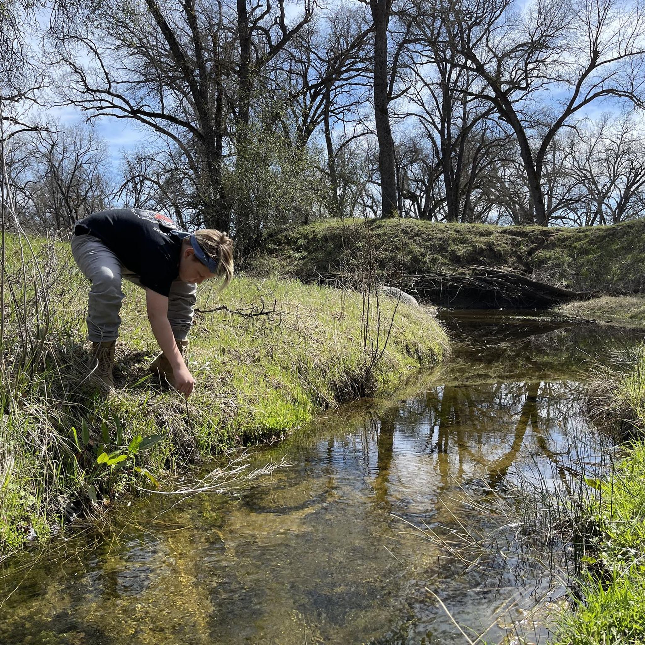
Jogging routes around Nipinnawasee are set within the Sierra Nevada foothills, characterized by mountainous terrain at an elevation of approximately 2,930 feet (890 m). The area features diverse oak, pine, and mixed chaparral habitats, providing varied natural settings for running. The Fresno River watershed, with tributary creeks like Peterson Creek, contributes to the local water systems and enhances the landscape. This region offers a mix of trails suitable for different running preferences.
Best jogging routes around Nipinnawasee
- The most popular…
Last updated: September 28, 2026
4.0
(2)
3
runners
5.34km
00:40
90m
90m
Moderate run. Good fitness required. Mostly paved surfaces. Suitable for all skill levels.
2
runners
3.93km
00:32
120m
120m
Moderate run. Good fitness required. Mostly paved surfaces. Suitable for all skill levels.

5.0
(2)
18
runners
6.97km
00:47
130m
130m
Moderate run. Good fitness required. Mostly paved surfaces. Suitable for all skill levels.
5
runners
22.7km
02:53
460m
460m
Hard run. Very good fitness required. Mostly paved surfaces. Suitable for all skill levels.
4
runners
9.05km
00:58
120m
120m
Moderate run. Good fitness required. Mostly paved surfaces. Suitable for all skill levels.
Our route recommendations are based on thousands of hikes, rides, and runs completed by other people on komoot.
Start today with a free account
Your next adventure awaits.
Popular around Nipinnawasee

Tips from the Community

This trail leads up a relatively gentle incline to Red Rock Falls. As it climbs you'll see a change in the trees, from a wider-open canopy to smaller, brushier trees up the hill.
0
0

Corlieu Falls is located along the Lewis Creek National Recreation Trail. The Lewis Creek was once used to transport milled lumber over more than 50 miles into the town of Madera. Along the trail, you can still see relics of this past.
0
0

The town south of Yosemite NP is a good place to restock supplies, find accommodation and explore the surrounding area.
0
0
The town south of Yosemite NP is a good place to restock supplies, find accommodation and explore the surrounding area.
0
0
Corlieu Falls is located along the Lewis Creek National Recreation Trail. The Lewis Creek was once used to transport milled lumber over more than 50 miles into the town of Madera. Along the trail, you can still see relics of this past. If you hike further north, you will get to another waterfalls: Red Rocks Falls.
2
0
The Lewis Creek cascades down into a narrow pool. The small waterfall is known as Red Rock Falls, one of two scenic falls along the Lewis Creek Trail. Corlieu Falls is located about 1.5 miles south of here.
2
0


At the South Entrance to Yosemite National Park, this upscale hotel in Fish Camp can be a base if everything inside the park is booked out, and also to explore the cross country ski, bike, and hiking trails nearby.
0
0
Frequently Asked Questions
How many running routes are available around Nipinnawasee?
There are a few dedicated jogging routes directly around Nipinnawasee, with a total of 2 routes listed in this guide. However, the broader Sierra National Forest, which borders the area, offers hundreds of miles of trails, providing ample opportunities for varied running experiences. The routes in this guide are rated as moderate in difficulty.
What do other runners say about the jogging trails in Nipinnawasee?
The jogging routes in and around Nipinnawasee are highly rated by the komoot community, with an average score of 4.3 stars from 6 ratings. Runners often praise the scenic beauty of the Sierra Nevada foothills and the diverse natural features encountered along the trails.
When is the best time of year to go jogging in Nipinnawasee?
Nipinnawasee offers beautiful jogging conditions throughout much of the year. Spring brings colorful wildflowers, while fall showcases golden hues, making these seasons particularly scenic. The mountainous terrain at approximately 2,930 feet (890 m) elevation provides a pleasant environment, though it's always wise to check local weather conditions, especially during summer for heat and winter for potential snow at higher elevations.
Are there any jogging routes with waterfalls near Nipinnawasee?
Yes, the Lewis Creek National Recreation Trail is a key highlight for joggers and features two prominent waterfalls: Red Rock Falls and Corlieu Falls. You can see the Lewis Creek cascading into a narrow pool at Red Rock Falls, and Corlieu Falls is located about 1.5 miles south along the trail.
Can I find family-friendly running trails in the Nipinnawasee area?
The Lewis Creek National Recreation Trail is described as a moderate running trail, suitable for various fitness levels, with mostly paved surfaces and manageable elevation gains, making it a good option for families. Its natural beauty and waterfalls also add to the appeal for all ages.
Are the jogging routes around Nipinnawasee suitable for dogs?
While many outdoor areas in the Sierra Nevada foothills are dog-friendly, specific trail regulations can vary. It's always recommended to check the current rules for individual trails, especially within national forests or recreation areas, regarding leash requirements and pet access before heading out with your dog.
Are there any circular running routes available?
Yes, there are circular running routes available. For example, the Running loop from Oakhurst offers a moderate 6.9 km circular route, and the Oakhurst, California loop from Oakhurst is another moderate option covering about 9 km.
What kind of scenery can I expect on the jogging trails around Nipinnawasee?
Jogging trails around Nipinnawasee offer stunning Sierra Nevada foothills scenery. You'll experience diverse habitats with rich oak, pine, and mixed chaparral, picturesque mountain backdrops, and views of the Fresno River watershed with tributary creeks. The area is known for its 'Alpine beauty' and seasonal transformations, from spring wildflowers to golden fall foliage.
Are there any challenging running routes for experienced joggers?
Yes, for experienced joggers seeking a challenge, the Tenaya Lodge loop from Fish Camp is a difficult route covering over 22 km with significant elevation gain, offering a more strenuous running experience.
Where can I find parking for the jogging trails in Nipinnawasee?
Parking availability varies by trail. For popular routes like the Lewis Creek National Recreation Trail, designated parking areas are typically available near trailheads. For routes originating from towns like Oakhurst or Fish Camp, you can often find parking within the town or at specific trail access points. It's advisable to check specific route details or local signage upon arrival.
What are some notable attractions I can explore near the jogging routes?
Beyond the natural beauty, you can explore several attractions. Along the Lewis Creek National Recreation Trail, you'll find the beautiful Corlieu Falls and Red Rock Falls. Other nearby points of interest include the Wassama Round House State Historic Park, the charming settlement of Oakhurst, and the serene Sugar Pine Lake.
Most popular routes around Nipinnawasee
Most popular attractions around Nipinnawasee

Get inspired with the komoot mobile app


Explore more
Browse the best Running Trails & Routes in other regions.
