Routes

Planner

Features

Updates

App

Login or Signup

Get the App

Login or Signup

Routes
Hikes
United States
California
Santa Barbara County

Mission Canyon

The best walks and hikes around Mission Canyon

4.5

(126)

3,052

hikers

14

hikes

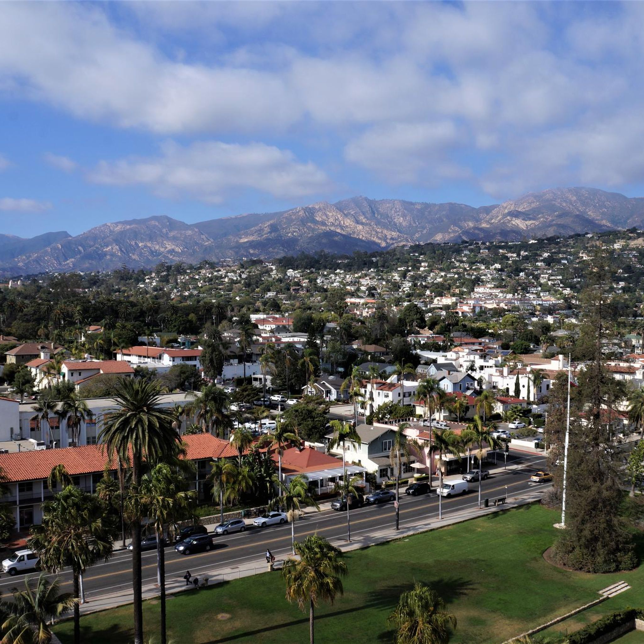
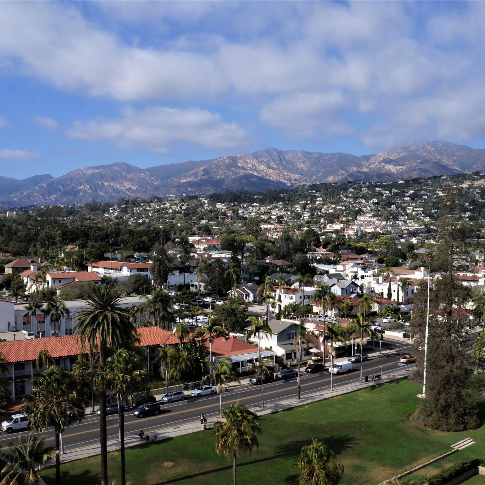
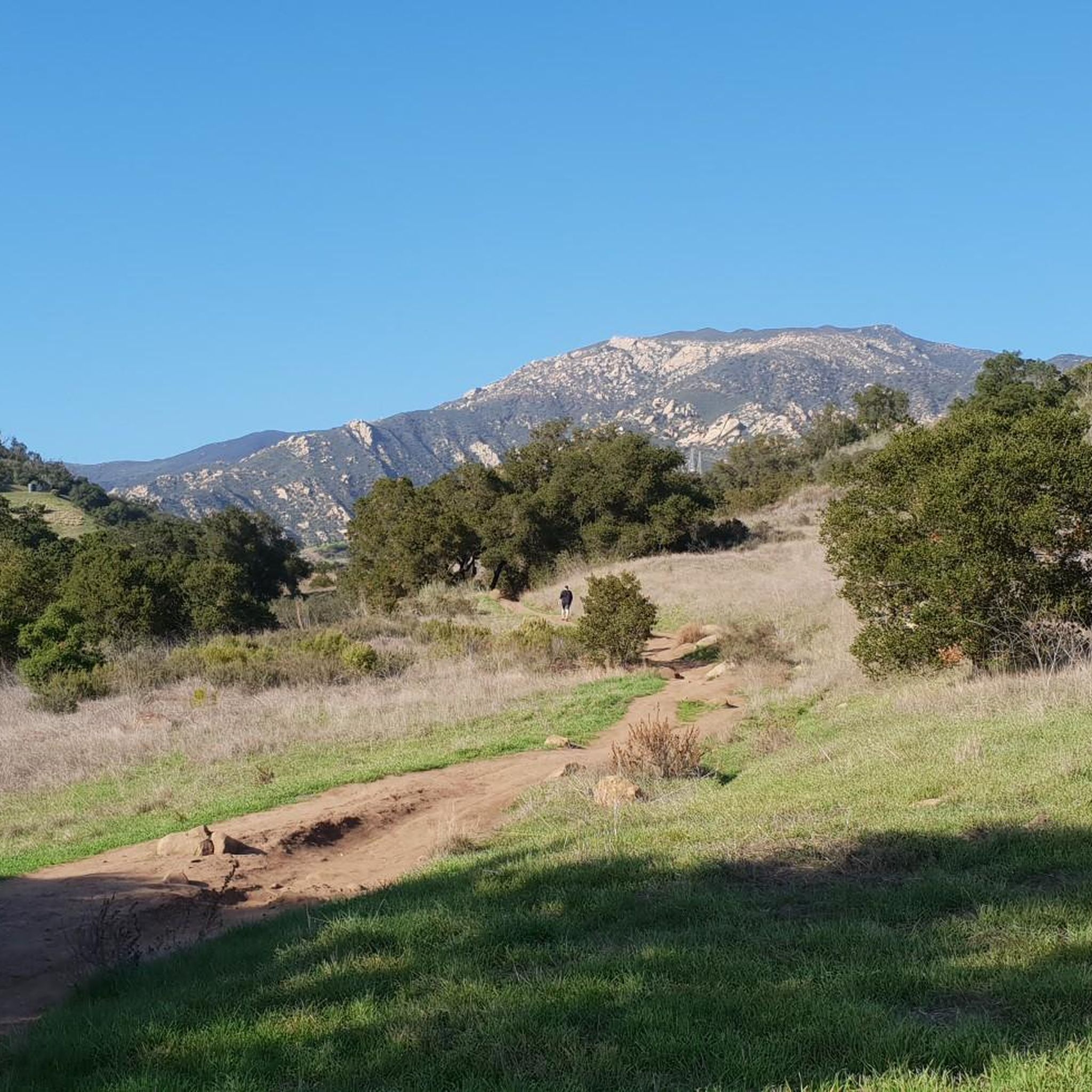
Hiking around Mission Canyon provides access to the Santa Ynez Mountains, characterized by rugged sandstone formations, chaparral-covered slopes, and canyons carved by creeks. Trails ascend from the canyon floor into the Los Padres National Forest, offering routes with significant elevation gain. The region features a network of routes suitable for various ability levels. Hikers can experience native chaparral, oak groves, and sycamores lining the creeks, with many trails offering panoramic vistas of Santa Barbara and the Pacific Ocean.

Best hiking trails around Mission Canyon

  • The most popular hiking route is Jesusita Trail to Inspiration Point — Los Padres National Forest, a 7.0 miles (11.2 km) trail that takes 3 hours 30 minutes to complete. This moderate hike leads to a viewpoint overlooking Santa Barbara and the coast.
  • Another top favourite among local hikers is Rattlesnake Canyon Loop – Los Padres National Forest, a moderate 7.2 miles (11.6 km) path. The route follows a creek through an oak-lined canyon before climbing to a ridgeline, offering views over Rattlesnake Canyon.
  • Local hikers also love the Seven Falls Trail — Los Padres National Forest, a 2.6 miles (4.2 km) trail leading through Mission Creek, often completed in about 1 hour 25 minutes.
  • Hiking around Mission Canyon is defined by chaparral-covered hillsides, sandstone canyons, and trails that climb to coastal viewpoints. The network of routes offers options for different ability levels.
  • The routes in Mission Canyon are highly rated by the komoot community with an average score of 4.5 stars from over 100 reviews. More than 2,500 hikers have used komoot to explore Mission Canyon's varied terrain.

Last updated: June 23, 2026

5.0

(1)

11

hikers

#1.

Porter Trail

2.00km

00:34

40m

40m

The Porter Trail offers a delightful, easy walk, perfect for a quick nature break. This short route is ideal for those seeking a gentle path to unwind and enjoy the outdoors without significant effort. It's a pleasant way to spend some time outside, whether you're a seasoned hiker or just looking for a casual stroll.

Planning your visit to the Porter Trail is straightforward. This easy 1.2-mile (2.0 km) hike, with a modest 129 feet (39 metres) of elevation gain, typically takes around 33 minutes to complete. It's a great option for a spontaneous outing, and you can generally visit any time of year. Always remember to carry water, especially on warmer days, to stay comfortable.

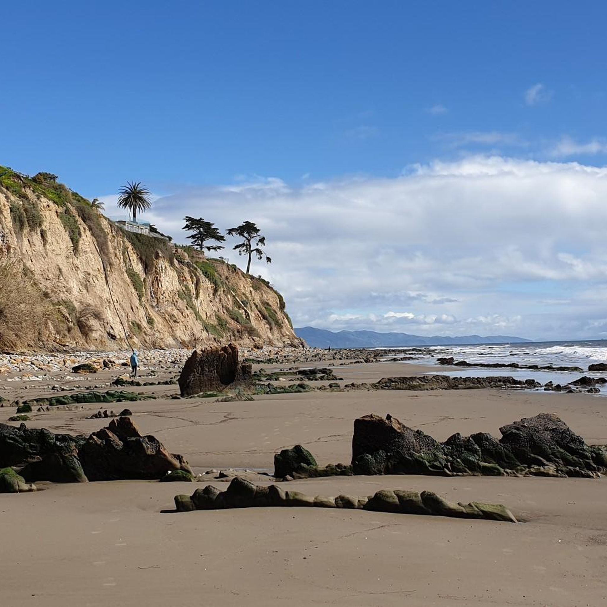
Located in the Mission Canyon area of Santa Barbara County, the Porter Trail provides a convenient escape into the local natural environment. Its easy difficulty makes it a welcoming option for families and beginners, offering a chance to connect with nature without the demands of more strenuous trails. It's a solid choice for a quick, refreshing outdoor experience.

Navigate with device

Send to Phone

Save

Easy

5.0

(1)

4

hikers

Embark on the Arlington Peak and Cathedral Peak Loop for a challenging hiking experience through rugged terrain. This difficult 3.8-mile (6.2 km) route demands a good fitness level, climbing 2046 feet (624 metres) over an estimated 3 hours and 2 minutes. You will navigate steep dirt paths and extensive boulder fields, including the prominent ridgeline known as the 'Dragon's Back'. As you ascend, you'll encounter rewarding scrambling sections. Reach Arlington Peak for sweeping panoramic views of the Santa Barbara coast, the Santa Ynez Mountains, and the Channel Islands. The impressive west face of Cathedral Peak also comes into view, offering a dramatic backdrop to your adventure.

Prepare for a largely unmaintained trail, meaning good route-finding skills are essential for a safe journey. Some rocks may have faint markings like black arrows or colored dots to help guide you. Be aware that shade is limited along the route, so plan your start time to avoid the hottest parts of the day. You should also watch out for potential patches of poison oak. Always carry enough water and sun protection for this strenuous outing.

This loop takes you through the diverse landscape of Los Padres National Forest, known for its unique geology and chaparral ecosystems. The trail's challenging nature, with its significant elevation changes and class 2 and 3 scrambling, sets it apart from many other local hikes. It offers a true wilderness feel close to Santa Barbara, providing an opportunity to test your limits and enjoy solitude. The 'Dragon's Back' ridgeline, with its large sandstone boulders, is a distinctive feature of this memorable route.

Hard
guide_signup
Let us show you the way with the komoot mobile app
With a free komoot account, you can easily find, customize, and navigate endless outdoor adventures.

Sign up for free

5.0

(1)

4

hikers

Embark on the La Cumbre Peak and Inspiration Point Loop for a truly demanding hiking experience in the Santa Ynez Mountains. This difficult 13.0-mile (20.9 km) route challenges you with a significant 4254 feet (1297 metres) of elevation gain, taking around 7 hours and 26 minutes to complete. As you ascend, you'll traverse varied terrain, from shaded sections lined with eucalyptus trees to rocky paths and areas characterized by chaparral, all leading to expansive vistas.

Planning your visit requires careful consideration due to the route's length and difficulty. Ensure you are well-prepared with sturdy footwear, ample water, and reliable navigation tools before setting out. Parking at trailheads, especially near Inspiration Point, can become very busy on weekends, so an early start is advisable to secure a spot and enjoy the trails with fewer crowds. This is not a casual stroll; it demands good physical condition and preparedness.

This loop uniquely combines two of Santa Barbara's most iconic viewpoints, offering distinct yet equally impressive panoramas. From La Cumbre Peak, the highest point in the range, you are rewarded with sweeping 360-degree views stretching across the South Coast, the Channel Islands, and the Santa Ynez Valley. Later, Inspiration Point provides a classic, picturesque outlook over Santa Barbara and the vast Pacific Ocean, making the strenuous effort well worth it for the visual payoff.

Hard

1.73km

00:35

140m

0m

The Tunnel Trail offers a fantastic introduction to Santa Barbara's mountain scenery, starting with a paved section that quickly gives way to a dirt path winding through arid chaparral. You'll be treated to expansive views of the city, the Pacific Ocean, and the Santa Ynez Mountains almost immediately. This easy 1.1-mile (1.7 km) hike, with 468 feet (143 metres) of elevation gain, is a perfect 35-minute escape for those seeking quick, rewarding vistas.

Planning your visit means being mindful of the limited trailhead parking; it's often full, so arriving early is a smart move. Dogs are permitted but must be on a leash. Due to exposed sections, the trail can get very hot, making early mornings or late afternoons the best times to hike, and always carry enough water.

While this segment is short and easy, the Tunnel Trail is a crucial access point to a broader network of trails, including the more demanding routes to Inspiration Point and even La Cumbre Peak. It's a popular starting point for longer adventures, showcasing the diverse terrain from paved roads to rocky, scrubby paths that characterize the Santa Ynez Mountains.

Easy

Embark on an easy hike along the Rocky Nook Park Trail, a gentle 0.5-mile (0.9 km) route that takes you through a lush, green landscape. You will gain 69 feet (21 metres) in elevation, a journey that typically lasts about 14 minutes. As you explore, you will find yourself shaded by ancient oak and sycamore trees, with the calming sounds of Mission Creek often accompanying your steps.

This well-maintained trail is perfect for families and casual walkers looking for a quick outdoor escape. The park provides amenities such as a playground, picnic areas, and clean restrooms, making it an ideal spot for a relaxed outing. You can enjoy this accessible route year-round, finding a tranquil natural setting away from city crowds.

Discover unique natural features along the way, including large sandstone boulders that are remnants of an ancient landslide. Mission Creek meanders through the park, adding to the serene atmosphere and offering pathways down to its banks. The trail's family-friendly appeal and gentle nature make it a notable option for a refreshing break in Santa Barbara.

Easy
Sign up for free to see 10 more hikes around Mission Canyon.

Get access to more routes and recommendations from other explorers.

Sign up for free

Already have an account?

Our route recommendations are based on thousands of hikes, rides, and runs completed by other people on komoot.

Start today with a free account

Your next adventure awaits.
Login or Signup

Popular around Mission Canyon

Running Trails around Mission Canyon

Cycling around Mission Canyon

Road Cycling Routes around Mission Canyon

MTB Trails around Mission Canyon

Tips from the Community

oliviakellis
December 4, 2023, Inspiration Point

Runners can soak up epic views of Santa Barbara's coastline from the apex of Inspiration Point. Though the trail to the summit stays largely exposed, the spectacular vistas make the run well worth it. Despite the route's popularity, arriving early allows joggers to soak up the sights solo before the crowds arrive.

0

0

Reaching this aptly named pinnacle requires mountain bikers to power through hot, exposed switchbacks, but sweeping sights of the stunning Santa Barbara coast as a payoff provide motivation to push onward. Arrive early to beat crowds and ascend during Los Padres’ cool morning hours.

0

0

Hiking up to Inspiration point gives you great views of the surroundings and the Santa Barbara coastline. The trail has some shady areas, but is mostly exposed. Considering it’s quite a popular hike the trail can get quite busy; it’s better to arrive early, and bring some bug spray.

0

0

At this 3,258-foot high peak you can enjoy a panoramic view over Santa Barbara and the coastline. Absolutely stunning!

0

0

Frequently Asked Questions

Where is the best place to park for hikes in Mission Canyon?

Parking can be found at various trailheads, but it is often limited, especially on weekends. The Rattlesnake Canyon Trailhead on Las Canoas Road is a popular starting point, but arriving early is recommended to secure a spot. Street parking is also available near the Tunnel Road entrance for trails leading to Seven Falls, but be sure to check for any residential parking restrictions.

Are there any hikes to waterfalls in the area?

Yes, the trail to Seven Falls is the primary waterfall hike in Mission Canyon. The flow of the falls is seasonal and most impressive after winter and spring rains. The journey involves some rock scrambling and creek crossings, so it's best for those with steady footing. During drier months, the falls may be reduced to a trickle, but the pools remain a scenic destination.

Can I bring my dog on the trails in Mission Canyon?

Most trails in the Los Padres National Forest portion of Mission Canyon are dog-friendly, provided your dog is on a leash. Trails like the Rattlesnake Canyon Trail are popular with dog walkers. However, be aware of the rugged terrain, potential for warm weather, and local wildlife like rattlesnakes. Always carry enough water for both you and your pet.

What are some good options for an easier or family-friendly walk?

For a less strenuous outing, consider the trails within the Santa Barbara Botanic Garden, which feature well-maintained paths through diverse native plant displays. Nearby Rocky Nook Park also offers short, shaded trails and large sandstone boulders that are great for families with children to explore.

How do I get to the Mission Canyon trailheads using public transport?

Direct public transport to the main trailheads like Tunnel Road or Rattlesnake Canyon is limited. The most convenient way to access the trails is by car. You can use local bus services to get closer to the canyon area and then use a taxi or rideshare service for the final couple of miles to the trailhead.

What kind of wildlife and plants might I see in Mission Canyon?

The canyon's landscape is dominated by native chaparral, with species like toyon, manzanita, and hummingbird sage. You'll also find oak groves and sycamores along the creeks. The area is home to a variety of wildlife, including deer, coyotes, and many species of birds. It's also important to be aware of rattlesnakes, especially in warmer weather.

Are there any circular or loop hikes available?

Yes, the area offers some excellent loop hikes. A challenging but rewarding option is the ACLCT Loop – Los Padres National Forest, a 9-mile (14.4 km) route with significant elevation gain that provides expansive views. This trail combines canyon and ridgeline hiking for a comprehensive tour of the landscape.

What is a good trail for sunset views?

The hike to Inspiration Point is famous for its sunset vistas. From this vantage point, you get panoramic views over Santa Barbara, the ocean, and the Channel Islands, which are spectacular as the sun goes down. The Jesusita Trail to Inspiration Point is a popular route to get there. Remember to bring a headlamp for the hike back down in the dark.

How many hiking trails are there around Mission Canyon?

There are over 90 designated hiking routes to explore around Mission Canyon. These range from easy walks along the canyon floor to difficult ascents up to the peaks of the Santa Ynez Mountains, offering a wide variety of options for all fitness levels.

What do other hikers think of the trails in Mission Canyon?

The trails are highly regarded by the komoot community, with an average rating of 4.5 out of 5 stars. Hikers frequently praise the stunning coastal views, the rugged beauty of the sandstone canyons, and the rewarding challenge of the mountain climbs.

Are there any particularly challenging hikes for experienced trekkers?

For those seeking a strenuous challenge, the Los Padres Tunel Trail to White Mountain loop is an excellent choice. This difficult 8.5-mile (13.7 km) hike involves nearly 2,850 feet (870 m) of elevation gain, rewarding determined hikers with incredible views and a true sense of accomplishment.

What should I pack for a hike in Mission Canyon?

It's essential to bring plenty of water, as many trails are exposed to the sun and can get very hot. Sturdy hiking shoes with good grip are recommended for the rocky and sometimes slippery terrain. Sun protection, such as a hat and sunscreen, is also crucial. For longer hikes, pack snacks and a basic first-aid kit.

Most popular routes around Mission Canyon

Easy hikes around Mission Canyon

Most popular attractions around Mission Canyon

Places to see

Store rating

Get inspired with the komoot mobile app

With a free komoot account, you can easily find, customize, and navigate endless outdoor adventures.

or

Join komoot Now

Store rating

Explore more

Browse the best Hikes in other regions.

Los Padres National ForestChannel Islands National ParkSanta Ynez MountainsSanta BarbaraSan Rafael MountainsMontecitoGoletaSummerlandDick Smith WildernessIsla VistaIsla VistaSierra Madre MountainsEastern Goleta ValleyToro CanyonCarpinteriaSan Rafael WildernessGaviota State ParkSanta YnezSanta MariaLos OlivosSolvangBuelltonOrcutt

Nearby adventure guides

Things to Do around Santa Barbara

Natural areas to explore nearby

Things to Do in San Rafael Wilderness

background

Get ready to conquer new peaks

Sign up for Free

Explore
RoutesRoute plannerFeaturesHikesMTB TrailsRoad cycling routesBikepackingSitemap
Download the app
Follow Us on Socials

© komoot GmbH

Privacy Policy