The best walks and hikes around Mesa Vista
4.0
(2)
44
hikers
10
hikes
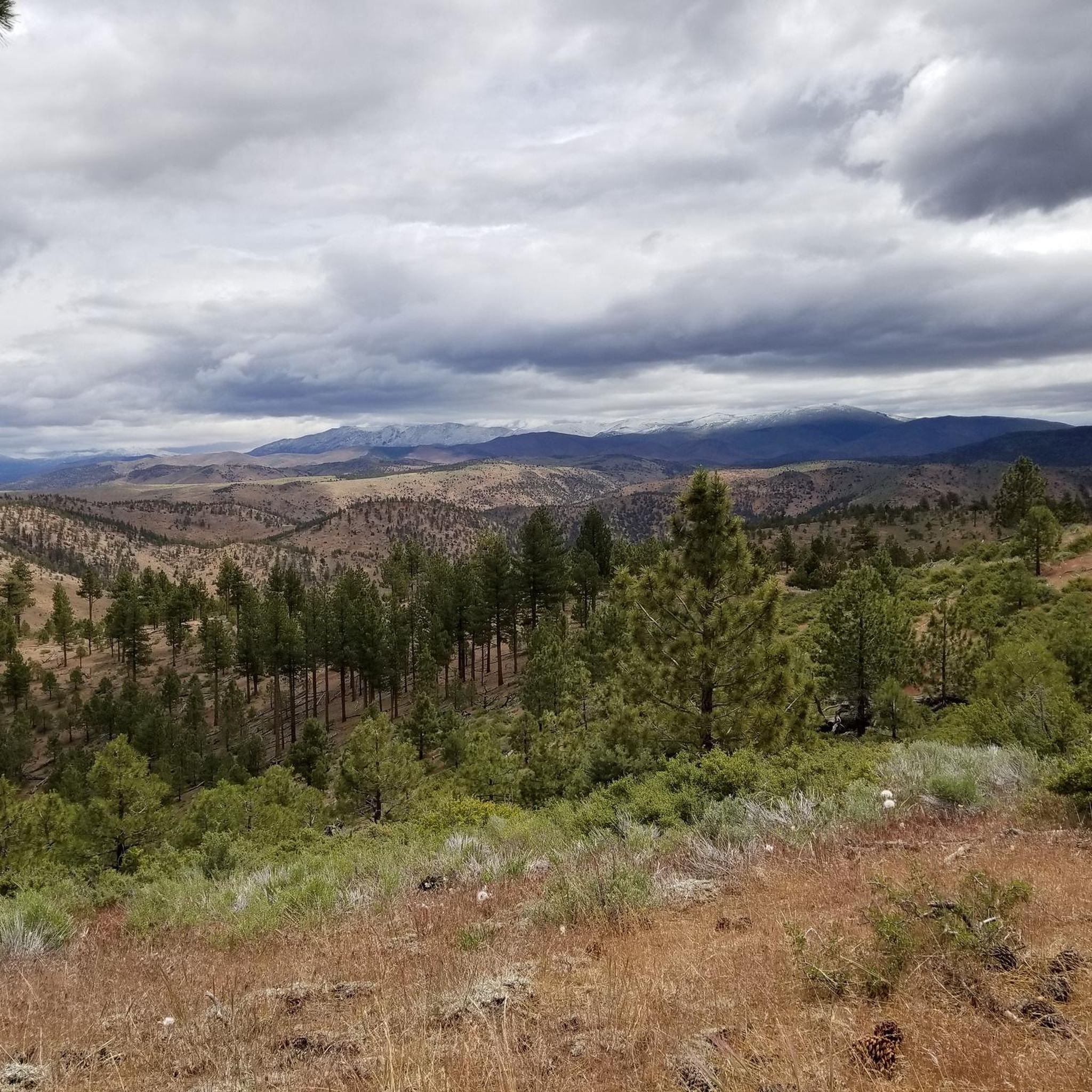
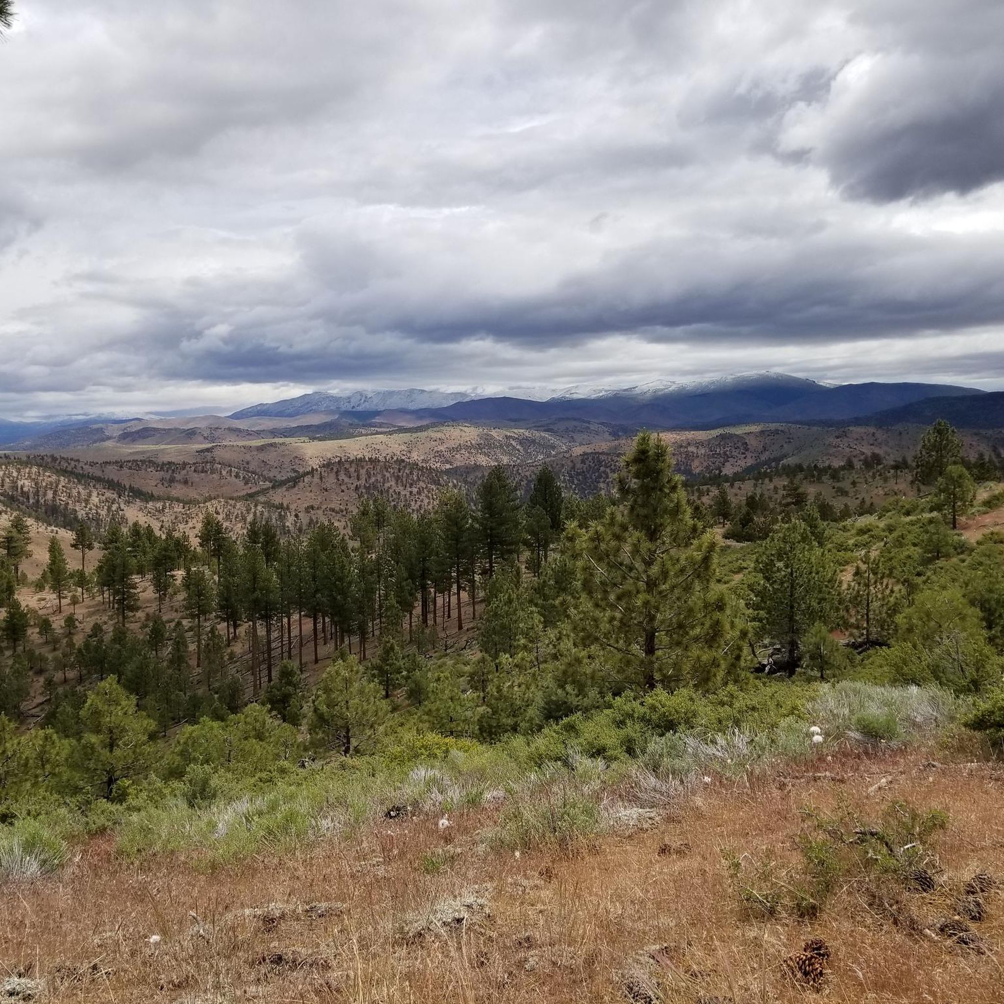
Hiking around Mesa Vista features mountainous terrain with significant elevation changes, characteristic of the Sierra Nevada region. The landscape includes high peaks, alpine lakes, and river valleys, offering diverse environments for outdoor activities. Trails often traverse forested areas and open ridges, providing expansive views. The region's geology contributes to varied path conditions, from rocky ascents to more gradual slopes.
Best hiking trails around Mesa Vista
- The most popular hiking route is Tahoe Rim Trail to Freel Peak, a 9.4…
Last updated: September 27, 2026
2
hikers
16.7km
04:58
420m
730m
Embark on a moderate hike along the Tahoe Rim Trail from Armstrong Pass to Big Meadow, covering 10.4 miles (16.7 km) with an elevation gain of 1381 feet (421 metres).…
2
hikers
8.25km
02:29
200m
400m
Embark on a moderate 5.1-mile (8.2 km) hike to the Carson River Hot Spring, a journey that typically takes about 2 hours and 29 minutes. You will gain 664 feet…

8.13km
02:56
770m
10m
Embark on a moderate hike to Freel Peak from Armstrong Pass, covering 5.1 miles (8.1 km) with a significant elevation gain of 2539 feet (774 metres). This route typically takes…
3.63km
01:01
90m
40m
Hope Valley invites you on an easy hike through a scenic mountain landscape, perfect for a quick outdoor escape. This route covers 2.3 miles (3.6 km) with a gentle elevation…
10
hikers
15.1km
05:08
770m
770m
Hike the difficult 9.4-mile Tahoe Rim Trail to Freel Peak for 360-degree views of Lake Tahoe and the surrounding wilderness.
Get access to more routes and recommendations from other explorers.
Already have an account?
Our route recommendations are based on thousands of hikes, rides, and runs completed by other people on komoot.
Tips from the Community

Here, you'll reach Armstrong Pass. The trail to get here features a gradual climb with a few hundred feet of elevation gain. You can access several trails from this pass.
1
0

Freel Peak stands 10,886 feet (3,318 m) high, making it the tallest peak in El Dorado County. Because most of the peak's prominence is above treeline, it offers sensational views.
0
0
Freel Peak stands 10,886 feet (3,318 m) high, making it the tallest peak in El Dorado County. Because most of the peak's prominence is above treeline, it offers sensational views.
1
0

Big Meadow Trailhead is a good spot to access Mr Toad's Wild Ride. It's pretty common to tackle this trail by shuttling with a friend, but you can turn it into a loop if you have the time and energy for a long day in the saddle.
0
0

Here, we have a beautiful view of Lake Tahoe and the Hope Valley.
1
0
Just at the junction with the Freel Peak Trail, we find ourselves at the foot of large rocks with multiple shapes.
1
0
It is a very beautiful passage, where you can enjoy superb views of the peaks of the Sierra Nevada.
1
0

Half-way up the hill on the east side of the river there's a good perspective of the hot springs, camp areas on both sides and the river: Barney Riley Rd Trail has two places where it tries to ford the East Fork Carson River just upstream and downstream from the Hot Springs. This is only possible very late in the summer or fall season when the water level is at its lowest
1
0
Frequently Asked Questions
What kind of landscape can I expect when hiking around Mesa Vista?
Hiking around Mesa Vista offers a diverse landscape characterized by mountainous terrain with significant elevation changes, typical of the Sierra Nevada region. You'll encounter high peaks, serene alpine lakes, and picturesque river valleys, providing a variety of environments for outdoor exploration.
How many hiking trails are available in Mesa Vista?
There are 10 hiking routes available in Mesa Vista, catering to various skill levels. You'll find 2 easy trails, 6 moderate trails, and 2 difficult routes to explore.
Are there any challenging hikes for experienced trekkers?
Yes, for experienced hikers seeking a challenge, Mesa Vista offers several difficult routes. Notable options include the Tahoe Rim Trail to Freel Peak, a 9.4-mile ascent offering panoramic views, and the Tahoe Rim Trail to Star Lake, an 11.2-mile path through high-altitude landscapes.
What do other hikers enjoy most about the trails in Mesa Vista?
The trails in Mesa Vista are highly rated by the komoot community, with an average score of 4.0 stars. Hikers often praise the stunning high mountain peaks, the beauty of the alpine lakes, and the varied forested slopes that define the region's unique hiking experience.
Are there any notable natural attractions or landmarks to see along the trails?
Yes, the region boasts several natural attractions. You can visit Star Lake, a beautiful alpine lake, or experience the unique Carson River Hot Springs ♨. For expansive views, the Lake Tahoe Overlook is a popular viewpoint.
Are there any moderate hikes suitable for a good day out?
Absolutely. A great moderate option is the Jobs Peak Trail, a 4.2-mile route through mountainous terrain, typically completed in under 3 hours. Another good choice is the Tahoe Rim Trail segment, which is 4.7 miles long.
What is the typical duration for hikes in Mesa Vista?
Hike durations vary significantly based on the trail's length and difficulty. For example, the Tahoe Rim Trail to Freel Peak can take over 5 hours, while the Jobs Peak Trail is typically completed in under 3 hours. There are also shorter, easier routes available.
Are there any trails that feature water elements like rivers or hot springs?
Yes, you can explore the Carson River Hot Spring trail, an 8.2-kilometer moderate hike that leads to a natural hot spring, offering a unique experience by the river.
What kind of flora and fauna can I expect to see on the trails?
Given its Sierra Nevada characteristics, you can expect to see diverse mountain flora, including various conifers and alpine wildflowers, especially during warmer months. Wildlife sightings might include deer, various bird species, and smaller mammals common to high-altitude forested environments.
Are there any trails that offer expansive views of the surrounding mountains?
Many trails in Mesa Vista provide stunning mountain vistas. The Tahoe Rim Trail to Freel Peak is particularly renowned for its panoramic views of the surrounding peaks and valleys from its summit.
Most popular routes around Mesa Vista
Most popular attractions around Mesa Vista

Get inspired with the komoot mobile app


Explore more
Browse the best Hikes in other regions.
