The best road cycling routes around Marin City
4.7
(179)
7,904
riders
70
rides
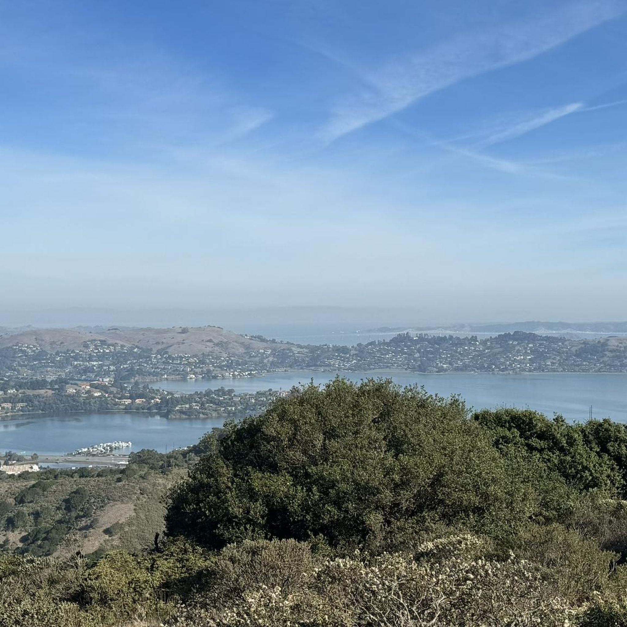
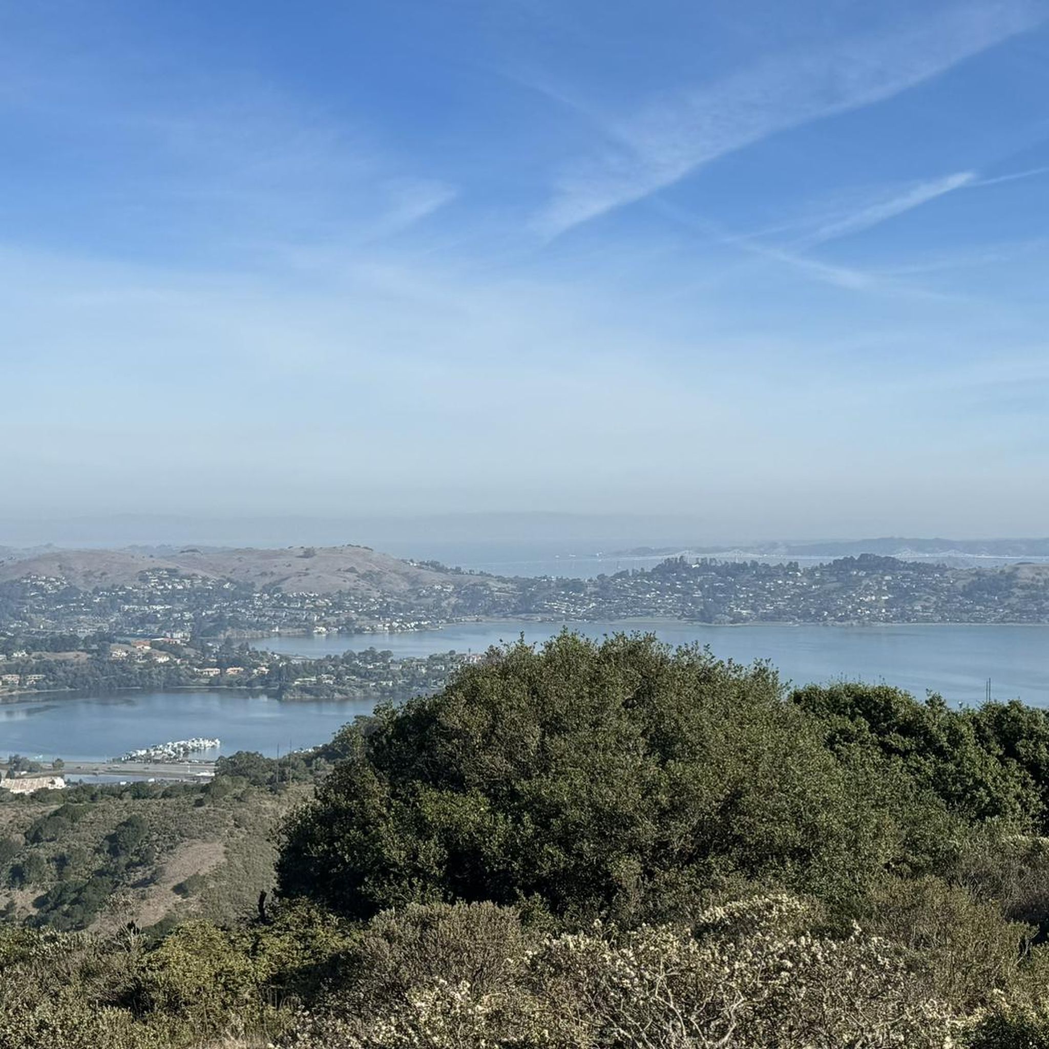
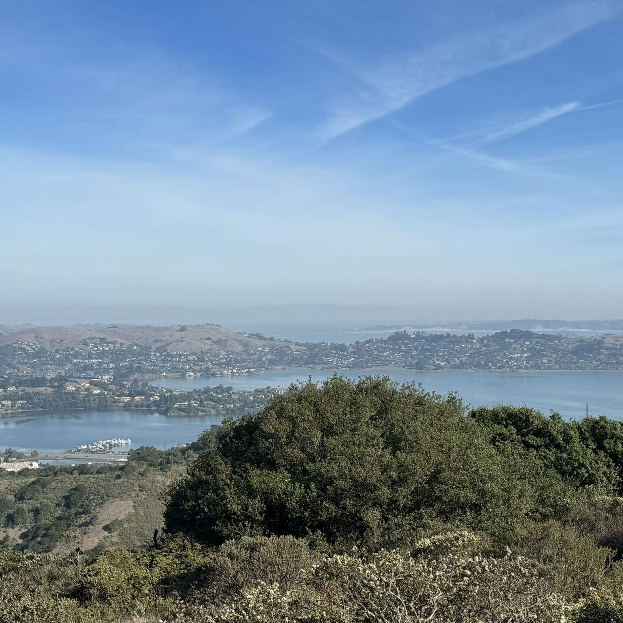
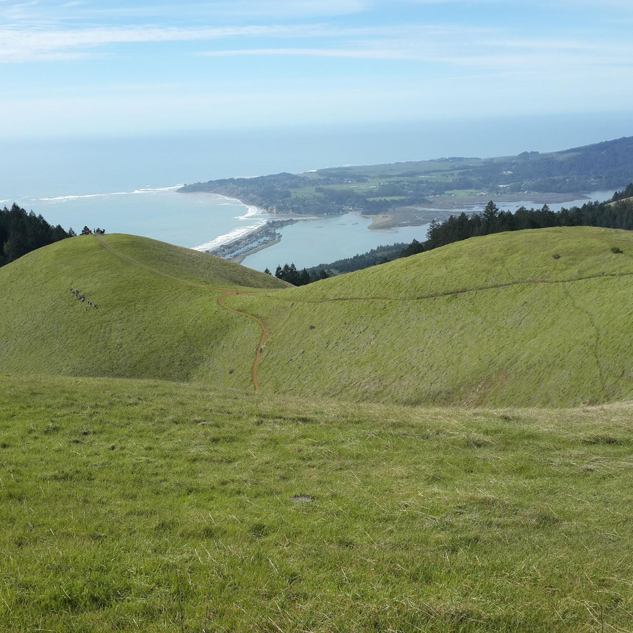
Road cycling around Marin City features diverse terrain, encompassing rugged coastlines, ancient redwood forests, and rolling hills. The region is characterized by significant elevation gains, providing panoramic views of the San Francisco Bay Area and the Pacific Ocean. Notable physical features include the Marin Headlands, offering views of the Golden Gate Bridge, and Mount Tamalpais, a prominent peak that draws cyclists for challenging climbs.
Best road cycling routes around Marin City
- The most popular road cycling route is Shoreline Highway…
Last updated: September 29, 2026
4.7
(3)
256
riders
93.5km
04:40
1,130m
1,130m
Embark on a challenging racebike adventure with the Shoreline Highway loop from Sausalito. This difficult route spans 58.1 miles (93.5 km) and climbs 3709 feet (1131 metres), taking about 4…
33
riders
111km
05:10
1,140m
1,140m
Embark on the challenging Novato Lake Loop, a demanding road cycling route that spans 68.8 miles (110.7 km) and features a significant 3727 feet (1136 metres) of elevation gain. This…

54
riders
Easy road ride. Great for any fitness level. Mostly well-paved surfaces and easy to ride.
5.0
(3)
115
riders
44.0km
02:13
390m
390m
Moderate road ride. Good fitness required. Mostly well-paved surfaces and easy to ride.
22
riders
19.6km
00:53
110m
110m
Easy road ride. Great for any fitness level. Mostly well-paved surfaces and easy to ride.
Get access to more routes and recommendations from other explorers.
Already have an account?
Our route recommendations are based on thousands of hikes, rides, and runs completed by other people on komoot.
Start today with a free account
Your next adventure awaits.

Tips from the Community

Huggin Corte Madera Creek this 3.5-mile, multi-use path is a great option for those looking for a mellow route. It passes through Hal Brown-Creekside Park, which is a good spot for a break.
0
0

The Old Tiburon Rail Trail is a scenic 2.6-mile path along the San Francisco Bay, with breathtaking water views and Mt. Tamalpais. Starting at Blackie's Pasture, it winds past coastal mudflats full of wildlife before transitioning into an on-street bike lane leading to downtown Tiburon. It's a fantastic, smooth ride with historical markers, parks, and a ferry terminal at the trail's end, making it an ideal place to enjoy nature and local history for a day away from the big city.
0
1

The Sausalito Bike Path runs through Mill Valley. It's a paved route with great views of the wetlands on the old Northwest-Pacific rail line, which operated from 1884 until its closure in 1971. The path ends near Mike’s Bikes in Marin City, where riders can continue along the busy Bridgeway into Sausalito or take quieter marina backroads.
2
0

This is a great protected bike path that follows the creek.
0
0

This being the lowest point to cross the San Rafael ridge it's great the recent revamp of this bottleneck included improving the dedicated wide bike trail, paved and lighted with several tunnels and sound protection parallel to the widened Hwy 101 freeway and the partially tunnelled SMART railway.
1
0
The Sausalito houseboat community is full of architectural gems and repurposed old working boats, and each is wonderfully unique. Bikes are not allowed on the dock, so you must park your bike to get a closer look; however, remember to be respectful when visiting, as these are residential homes, and you are close to someone's living space.
0
0
This town, nestled in the forested hills among unspoiled open space in Marin County, is a nice respite from the large nearby metropolis. It is a quirky, hip place with a small-town vibe filled with restaurants, music venues, and independent shops. Fairfax is home to many musicians who live here, and on any given night, you can find live music featuring local and national touring acts jamming in a relaxed, casual atmosphere. It has a very cycle-friendly culture, and be sure to take the time to visit the Museum of Bicycling while you are here!
2
0
This tidal sanctuary runs along the Mill Valley-Sausalito Pathway and the Charles F. McGlashan Pathway. More than 400 species of migratory birds rest here after their long flights, and if you pass through in the early morning or late evening, the sunrises and sunsets reflect beautifully on the surface of this 106-acre marsh.
0
0
Frequently Asked Questions
How many road cycling routes are available around Marin City?
Marin City and the surrounding area offer a wide selection of road cycling routes, with over 75 tours available on komoot. These routes cater to various skill levels, from easier rides to challenging climbs.
What kind of terrain and landscapes can I expect on road cycling routes in Marin City?
Road cycling around Marin City features incredibly diverse terrain. You'll encounter rugged coastlines, ancient redwood forests, and rolling hills. Many routes include significant elevation gains, rewarding cyclists with panoramic views of the San Francisco Bay Area and the Pacific Ocean. It's common to ride through forests, along golden ridges, and descend to the cool Pacific.
Are there road cycling routes suitable for beginners in Marin City?
Yes, Marin City offers several road cycling routes suitable for beginners. There are over 30 easy tours available, providing a gentler introduction to the region's beautiful scenery. While the region is known for its climbs, you can find routes that are less demanding.
What are some challenging road cycling routes for experienced riders in Marin City?
Experienced riders will find plenty of challenging options. Routes often feature substantial elevation gains and cover significant distances. For example, the Shoreline Highway loop from Sausalito is a difficult 58.1-mile route with over 3,700 feet of gain, offering extensive coastal views. Another demanding option is the Novato Lake Loop, a 68.8-mile path with over 3,700 feet of elevation gain.
What scenic viewpoints and landmarks can I expect along Marin City's road cycling routes?
Marin City's road cycling routes are rich with stunning viewpoints and iconic landmarks. Many routes offer spectacular views of the Golden Gate Bridge and the San Francisco skyline, especially from the Marin Headlands. You can also enjoy views of the Pacific Ocean, Mount Tamalpais, and the San Francisco Bay. Notable natural features include the Marin Headlands and the prominent Mount Tamalpais Summits.
Are there any family-friendly road cycling routes in Marin City?
While many routes in Marin City involve significant climbs, there are options that are more suitable for families or those looking for a more relaxed ride. Multi-use paths like the Corte Madera Creek path and the Old Tiburon Rail Trail offer scenic, flatter sections. For a moderate road cycling experience, consider the Golden Gate Bridge – Presidio Promenade loop from Sausalito, which is a shorter 27.7 km loop.
What is the best season for road biking in Marin City?
Marin City offers excellent road cycling opportunities year-round. Spring brings an abundance of wildflowers, while summer provides warm, clear days. Fall offers pleasant temperatures and beautiful foliage. Even in winter, the weather is generally mild, making it possible to ride, though you should always check local forecasts for rain or cooler temperatures.
Are there any loop road cycling routes in Marin City?
Yes, many of the road cycling routes in Marin City are designed as loops, allowing you to start and end at the same point. Examples include the Cal Park Tunnel & Pathway – Tiburon Linear Park Bike Trail loop from Tamalpais-Homestead Valley and the Cal Park Tunnel & Pathway – Horse Hill Bike Path loop from Tamalpais-Homestead Valley, both offering varied landscapes.
What do other road cyclists enjoy most about road cycling in Marin City?
The area is highly rated by the komoot community, with an average score of 4.8 stars from over 150 reviews. Reviewers often praise the diverse terrain, the stunning coastal views, and the challenging climbs that reward riders with panoramic vistas of the San Francisco Bay Area and the Pacific Ocean. The variety of routes catering to different ability levels is also frequently highlighted.
Where can I find parking for road biking in Marin City?
Parking availability varies by route and starting point. Many popular cycling areas, especially those within the Golden Gate National Recreation Area or near trailheads, offer designated parking lots. It's advisable to check specific route details or local park information for parking options before you head out.
Can I access road cycling routes in Marin City using public transport?
Marin County has public transportation options that can help you access various parts of the region. Some bus routes are equipped with bike racks, allowing you to combine cycling with public transit. For specific routes and schedules, it's best to consult local transit authority websites like Marin Transit to plan your journey.
Most popular attractions around Marin City

Get inspired with the komoot mobile app


Explore more
Browse the best Road cycling routes in other regions.
