The best road cycling routes around Lakeside
4.2
(13)
185
riders
18
rides
Road cycling routes around Lakeside feature diverse terrain, including rolling hills and river valleys. The region offers a mix of paved roads and scenic byways suitable for various skill levels. Cyclists can find routes that traverse open landscapes and pass through areas with varied elevation. The network includes options from moderate climbs to more challenging ascents.
Best road cycling routes around Lakeside
- The most popular road cycling route is SR 52 Bike Path – SR 52 Bike Path loop from…
Last updated: June 27, 2026
4.0
(1)
16
riders
25.4km
01:15
400m
400m
Moderate road ride. Good fitness required. Mostly well-paved surfaces and easy to ride.
16
riders
52.7km
02:28
670m
670m
Moderate road ride. Good fitness required. Mostly well-paved surfaces and easy to ride.

Sign up for free
2.0
(1)
7
riders
Moderate road ride. Good fitness required. Some segments of this route may be unpaved and difficult to ride.
4.8
(4)
6
riders
47.9km
02:06
450m
450m
Moderate road ride. Good fitness required. Mostly well-paved surfaces and easy to ride.
2
riders
38.6km
01:56
500m
500m
Moderate road ride. Good fitness required. Mostly well-paved surfaces and easy to ride.
Get access to more routes and recommendations from other explorers.
Sign up for free
Already have an account?
Our route recommendations are based on thousands of hikes, rides, and runs completed by other people on komoot.
Start today with a free account
Your next adventure awaits.
Login or Signup
Tips from the Community

The Sweetwater River is a small year-round stream that flows 55 miles from the Cuyamaca Mountains to the San Diego Bay.
1
0

This is a short, bi-directional State Route (SR) connector path that runs along the north side of the State 52 Freeway from Santo Road in San Diego to Mast Blvd in Santee. It is separated from the freeway by a concrete barrier.
0
0
This is a short, bi-directional State Route (SR) connector path that runs along the north side of the State 52 Freeway from Santo Road in San Diego to Mast Blvd in Santee. It is separated from the freeway by a concrete barrier.
0
0

This overlook on the trail offers a cool bird's eye view of the Old Mission Dam. You can tell just how wide the structure spans when you get this higher perspective.
0
0

Built in 1803 by Kumeyaay Indians 'conscripted' by the Spanish, the dam was built across Mission Gorge to redirect water to the Mission San Diego de Alcala. The area is full of history as well as spectacular scenery and wildlife.
0
0

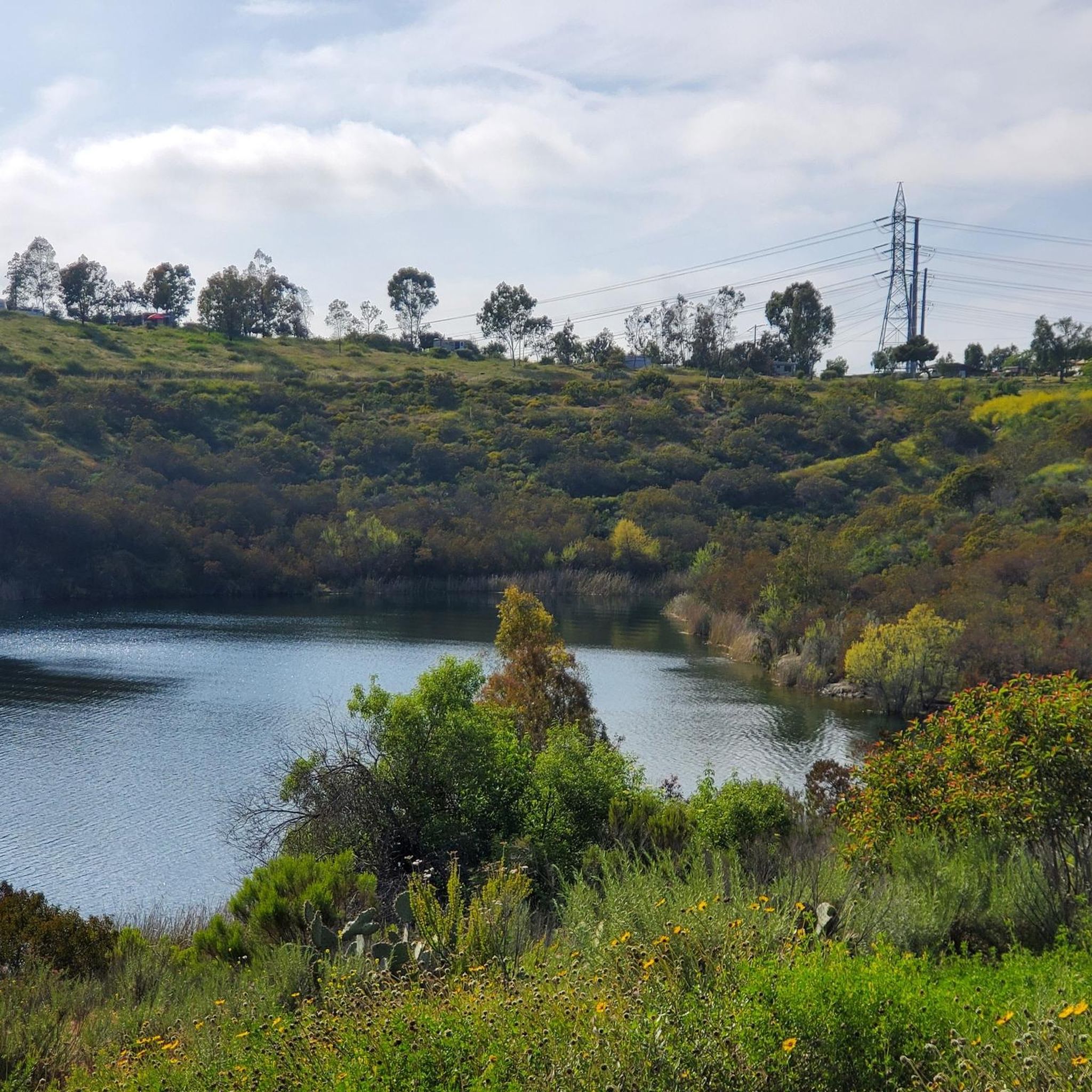
The Sweetwater River flows from Loveland Dam passing through Lake Emma, where the river bends west and runs parallel to Dehesa Road. The lake is fenced off and access is limited. At the western end of the lake is a golf club.
0
0
Mission Trails Regional Park spans 8,000 acres, comprising both natural and developed recreational areas. It stands as one of the largest urban parks in the United States, established in 1974. The park boasts 60 miles of trails, opportunities for boating on Lake Murray, and camping options at Kumeyaay Lake.
0
0
The Old Mission Dam is part of San Diego’s Mission Trails Regional Park located on the Father Junípero Serra Trail. When the population of San Diego de Alcala Mission grew during the late 18th century, so did its demand for water. The Spanish colonists solved the water shortage problem by building what is likely the first major colonial irrigation-engineering project on the Pacific Coast.
0
0
Frequently Asked Questions
How many road cycling routes are available around Lakeside?
There are over 15 road cycling routes available around Lakeside, offering a diverse range of experiences for cyclists. These routes feature varied terrain, from rolling hills to river valleys, and are suitable for different skill levels.
Are there road cycling routes suitable for beginners in Lakeside?
Yes, Lakeside offers several road cycling routes that are suitable for beginners. While the region is known for its varied terrain, you can find easier options that provide a pleasant introduction to road cycling in the area. These routes often feature well-paved surfaces and less strenuous sections.
What are some challenging road cycling routes around Lakeside?
For experienced cyclists seeking a challenge, Lakeside offers routes with significant elevation gains. One notable difficult route is the Japutal Valey Road loop from Flinn Springs, which spans 44.3 miles (71.3 km) and includes over 1300 meters of climbing through a valley. This route typically takes around 4 hours to complete.
What kind of scenery can I expect on road cycling routes in Lakeside?
Road cycling routes in Lakeside offer a blend of picturesque landscapes. You can expect to ride through serene river valleys, past rolling hills, and experience varied elevation changes. The region's natural beauty, characterized by expansive lakes, majestic mountains, and forests, provides a stunning backdrop for your rides. Some routes also pass through charming villages.
Are there any interesting landmarks or natural sights to see along the road cycling routes?
Yes, many road cycling routes in Lakeside offer opportunities to see interesting landmarks and natural sights. You might encounter areas like the San Diego River Wetlands, the scenic Kumeyaay Lake Trail, or the tranquil Santee Lakes Recreation Preserve. Other points of interest include the historic Old Mission Dam and various viewpoints like the View from Cowles Mountain.
Are there circular road cycling routes in Lakeside?
Yes, many of the road cycling routes in Lakeside are designed as loops, allowing you to start and end your ride at the same point. Examples include the popular SR 52 Bike Path – SR 52 Bike Path loop from West Hills High School and the Sweetwater River loop from Alpine Boulevard & Peutz Valley Road, both offering distinct experiences.
What do other road cyclists enjoy the most about road cycling in Lakeside?
The road cycling routes in Lakeside are highly rated by the komoot community, with an average score of 4.0 stars from over 10 reviews. Cyclists often praise the region's varied terrain, which provides options for different ability levels, and the scenic beauty of the river valleys and rolling hills.
Are there any family-friendly road cycling routes in Lakeside?
While specific routes are not explicitly labeled 'family-friendly' in the data, the region offers diverse terrain, including easier, well-paved sections that could be suitable for families. Look for routes with lower elevation gains and shorter distances for a more relaxed family outing. The presence of dedicated paths in similar lakeside regions suggests that some routes here may also offer safer, car-free sections.
What is the best time of year for road biking in Lakeside?
Lakeside, like many lakeside regions, can offer pleasant cycling conditions across multiple seasons. While specific weather patterns vary, generally, spring and fall provide mild temperatures ideal for road biking. Summer can be enjoyable, especially in the mornings or evenings, while winter conditions would depend on local climate, with some areas offering year-round cycling and others requiring caution due to colder weather.
Are there options for longer road cycling tours in Lakeside?
Yes, Lakeside provides options for longer road cycling tours. Routes like the Iron Mountain Trailhead – Oakoasis Open Space Preserve loop from Santee Town Center covers over 72 km, and the Japutal Valey Road loop from Flinn Springs is 71.3 km, offering extended rides for those looking to spend more time on the road. These longer routes often feature varied terrain and significant elevation changes.
Can I find road cycling routes that follow rivers or lakes in Lakeside?
Yes, the region's road cycling is defined by its river valleys. The Sweetwater River loop from Alpine Boulevard & Peutz Valley Road is a prime example, following the Sweetwater River and offering varied terrain. The presence of numerous lakes and waterways in lakeside regions generally means you can find routes that offer scenic views alongside water bodies.
Most popular routes around Lakeside
Most popular attractions around Lakeside

Get inspired with the komoot mobile app


Explore more
Browse the best Road cycling routes in other regions.
