The best running trails around La Honda
4.8
(9)
464
runners
28
runs
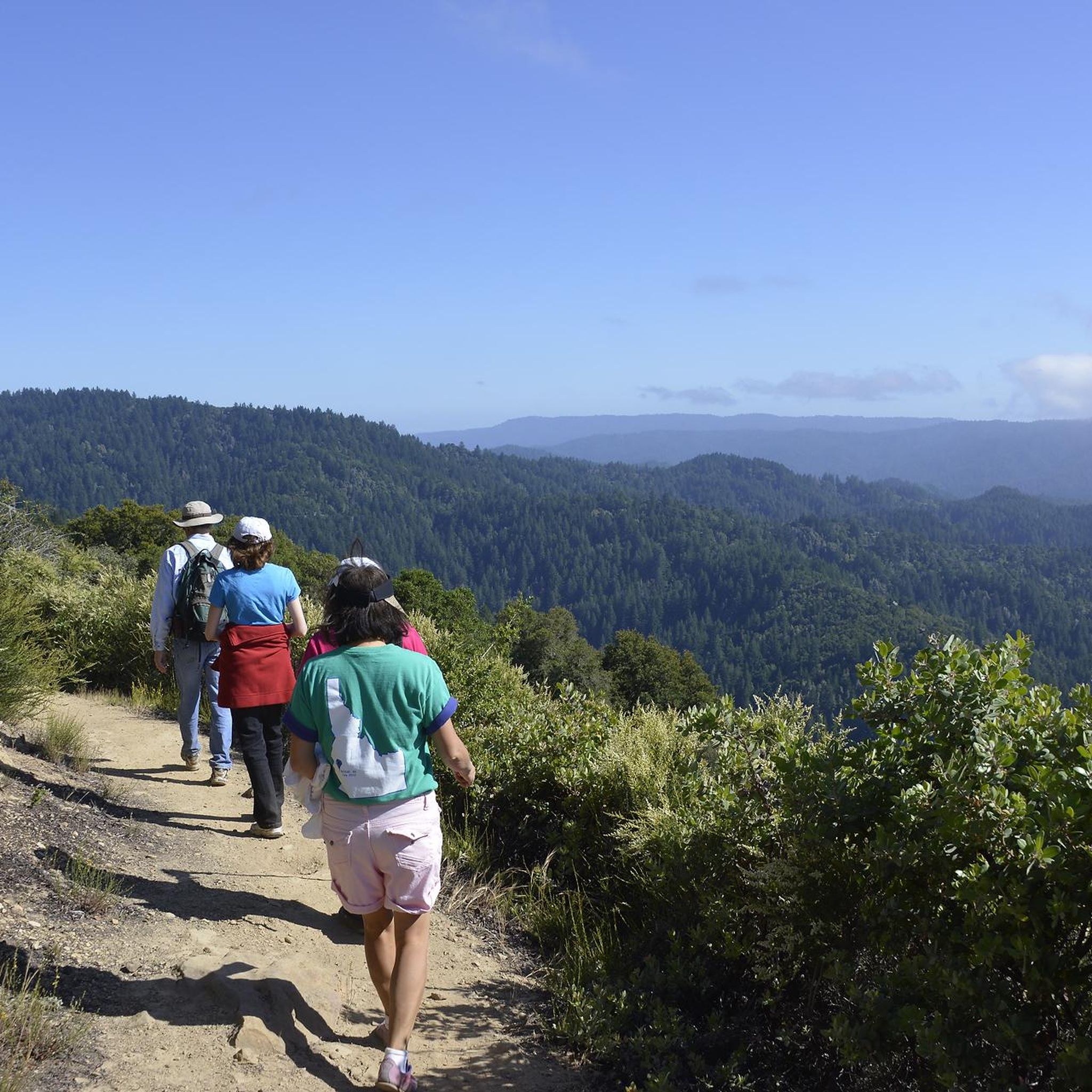
Jogging around La Honda offers an excellent way to explore the diverse natural landscapes of the Santa Cruz Mountains. The region features a rich mix of redwood and Douglas fir forests, mixed woodlands, chaparral, and grassy hillsides. Joggers can find varied terrain, from shaded forest paths along creeks to elevated points providing sweeping coastal views. This environment provides a serene backdrop for running, with trails catering to different fitness levels.
Best jogging routes around La Honda
- The most popular jogging…
Last updated: September 29, 2026
8.19km
00:58
240m
240m
The Black Mountain via Sag Pond loop offers a diverse jogging experience, taking you through a mix of grasslands, chaparral, and oak woodlands. You'll find yourself on both single-track paths…
2.19km
00:17
50m
50m
The San Andreas Fault Trail offers a truly unique jogging experience, taking you directly over one of the world's most active geological features. You'll wind through a beautifully shaded forest…

5.92km
00:43
150m
150m
The White Oak and Stevens Creek Nature Trail Loop offers a diverse jogging experience, transitioning from sun-drenched open grasslands with sweeping views of Stevens Creek Canyon to the cool, shaded…
4.50km
00:33
130m
130m
The Canyon and Stevens Creek Nature Trail Loop offers a fantastic blend of terrain and views for joggers in Monte Bello Open Space Preserve. You'll navigate through oak woodlands, open…
4.5
(2)
66
runners
16.7km
02:14
490m
490m
Hard run. Very good fitness required. Mostly paved surfaces. Suitable for all skill levels.
Get access to more routes and recommendations from other explorers.
Already have an account?
Our route recommendations are based on thousands of hikes, rides, and runs completed by other people on komoot.
Start today with a free account
Your next adventure awaits.


Other adventures around La Honda

Tips from the Community

The hike from Razorback Ridge trailhead to the Windyhill summit is mostly through shaded sections. Sections of it kept cool from the fog rolling in from the Santa Cruz Mountains. The final section, Anniversary Trail is out in the open but has nice views of the bay.
0
0

On a clear day, you can see up the bay to San Francisco and out across Silicon Valley. The trail follows a packed dirt track which winds above the treetops, granting sweeping views from this northern section.
0
0

Black Mountain, situated on Monte Bello Ridge, is a popular destination for hikers and mountain bikers. With an elevation of 2,812 feet, it's easy to understand why. From the summit, the views of the Santa Cruz Mountains and Silicon Valley are breathtaking.
0
0

Windy Hill Summit, located at an elevation of 1,905 feet within the Windy Hill Open Space Preserve, offers great views of Silicon Valley and the Peninsula. The preserve stretches 1,132 acres along the east side of the Santa Cruz Mountains, coming up from the valley road near Portola Valley to this scenic summit. It’s a great spot to watch the sunset and take in views.
0
1

White Oak Trail is a nice flowy single track trail that meanders through a mixture of open grassland and shaded oak forests. You can enjoy both lowland views for plants/wildlife, and scenic overlooks.
0
0

The San Andreas Fault is one of the world's longest earthquake fault lines, it runs down the middle of the nature preserve. There are nine stations in the area that have educational information about the land around the fault line. This area also has nice views to Loma Prieta.
0
0

This pond rests atop the San Andreas Fault, causing an indentation that later filled up from an underground spring. Unfortunately, the water isn't easily visible due to the overgrowth of cattails in the area. Nonetheless, it remains a beautiful natural spot worth the effort to explore.
1
0
Standing at 2,800 feet, this mountain provides stunning views of the Monte Bello Open Space Preserve. Accessible from five different parks, reaching this summit allows you to add variety to your route.
0
0
Frequently Asked Questions
How many running routes are available around La Honda?
La Honda offers a diverse selection of over 20 running routes, catering to various fitness levels. You'll find everything from easy, shaded paths to more challenging trails with significant elevation changes.
What kind of scenery can I expect on the running trails in La Honda?
The running trails in La Honda traverse a rich tapestry of natural landscapes. You can expect to jog through cool, moist forests of coast redwood and Douglas fir, mixed woodlands, chaparral, and grassy hillsides. Many routes offer sweeping coastal views of the Pacific Ocean and the Santa Cruz Mountains, along with unique geological features like Tafoni sandstone formations. The Black Mountain via Sag Pond loop, for instance, provides panoramic views.
Are there any easy or beginner-friendly running routes in the area?
Yes, La Honda has several easy running routes suitable for beginners or those looking for a less strenuous jog. The San Andreas Fault Trail is a great option, offering a 1.4-mile path through shaded forest with unique geological features, typically completed in about 17 minutes. Within La Honda Creek Open Space Preserve, the Cielo Trail (1 mile) and Grasshopper Loop Trail (1.3 miles) are also considered easy-access options.
What do other runners enjoy most about jogging in La Honda?
The running routes around La Honda are highly rated by the komoot community, with an average score of 5.0 stars from over 4 reviews. Runners often praise the diverse terrain, from serene redwood forests to expansive coastal grasslands, and the opportunity to experience significant elevation changes. The quiet, natural setting and varied scenery are frequently highlighted as key attractions.
Are there any challenging running routes for experienced runners?
Absolutely. For those seeking a more strenuous workout, La Honda offers several difficult routes with significant elevation gains. An example is the Windy Hill Summit loop from Portola Valley, which covers over 14 miles with substantial climbing. Newly opened trails in La Honda Creek Open Space Preserve, such as Coho Vista and Lonely Forest trails, also provide remote and challenging experiences.
Can I find circular running routes in La Honda?
Yes, many of the running routes in La Honda are designed as loops, allowing you to start and finish at the same point. Popular circular options include the Black Mountain via Sag Pond loop and the White Oak and Stevens Creek Nature Trail Loop, both offering varied terrain and scenic views.
Are there any notable landmarks or attractions to see along the running trails?
Yes, the La Honda area is rich with natural attractions. Along your runs, you might encounter unique geological features like the Tafoni Sandstone Formation. The La Honda Creek Open Space Preserve is home to an impressive "Big Tree," one of the few remaining old-growth redwood trees. You can also find scenic viewpoints like Byrne Preserve Lookout and reach summits like Black Mountain or Windy Hill Summit, offering expansive views.
What is the best season for running in La Honda?
La Honda offers excellent running conditions throughout much of the year due to its diverse habitats. The redwood forests provide cool, shaded paths, ideal for warmer months. The coastal grasslands and open areas are pleasant during cooler seasons. It's always a good idea to check local weather patterns, but the varied terrain means you can often find a suitable route regardless of the season.
Are permits required to jog in the open space preserves around La Honda?
While many trails in the region are freely accessible, some open space preserves, like La Honda Creek Open Space Preserve, may have specific regulations or require permits for certain activities or areas. It's advisable to check the official websites of individual preserves (e.g., Midpeninsula Regional Open Space District for La Honda Creek and Monte Bello) for the most current information regarding permits and access.
Are there running routes that are suitable for families?
Yes, La Honda offers family-friendly running options. The easier trails, such as the San Andreas Fault Trail, are generally suitable for families due to their shorter distances and relatively flat terrain. Within La Honda Creek Open Space Preserve, the Grasshopper Loop Trail is also an easy-access option that traverses working ranchlands, which can be interesting for children.
Is there public transport access to the running trails in La Honda?
Public transport options directly to the trailheads in La Honda can be limited, as the area is nestled in the Santa Cruz Mountains. Most visitors typically access the trails by car. It's recommended to research specific trailheads and their proximity to public transit stops if you plan to rely on public transportation.
Where can I find parking for the running trails?
Parking is generally available at the main trailheads of the various open space preserves around La Honda, such as La Honda Creek Open Space Preserve and Monte Bello Open Space Preserve. Specific parking details can usually be found on the individual preserve websites or within the komoot route descriptions for each tour.
Most popular attractions around La Honda

Get inspired with the komoot mobile app


Explore more
Browse the best Running Trails & Routes in other regions.
