The best cycling routes around Kings Beach
4.5
(22)
664
riders
47
rides
Touring cycling around Kings Beach offers routes that navigate the varied terrain surrounding Lake Tahoe. The area features pine forests, mountain roads, and scenic lakefront paths. Elevations range from gentle slopes to more challenging climbs, providing diverse experiences for touring cyclists. The landscape is characterized by its proximity to the lake and the Sierra Nevada mountains.
Best touring cycling routes around Kings Beach
- The most popular touring cycling route is Burton Creek and Dollar Reservoir Loop, a 13.3 miles (21.4 km) trail that takes 1 hour 29 minutes to complete, winding through forested areas and past reservoirs.
- Another top favourite among local touring cyclists is Kings Beach to Stateline Fire Lookout loop, a moderate 6.5 miles (10.4 km) path. This route offers views of Lake Tahoe and leads to a fire lookout point.
- Local touring cyclists also love the Martis Peak Lookout via Martis Peak Road, a 9.8 miles (15.8 km) trail leading through mountain terrain, often completed in about 1 hour 25 minutes.
- Touring cycling around Kings Beach is defined by lake views, pine forests, and mountain roads. The network offers options for different ability levels, from easy loops to more difficult climbs.
- The routes in Kings Beach are highly rated by the komoot community with an average score of 4.4 stars from more than 10 reviews. More than 400 touring cyclists have used komoot to explore Kings Beach's varied terrain.
Last updated: August 17, 2026
14
riders
21.4km
01:29
260m
260m
Embark on the Burton Creek and Dollar Reservoir Loop for a scenic ride through diverse Sierra Nevada landscapes. This moderate 13.3-mile (21.4 km) touring cycling route, with 838 feet (256 metres) of elevation gain and an estimated duration of 1 hour and 28 minutes, winds through wildflower meadows, deep pine forests, and past the tranquil Dollar Creek Reservoir. You'll find yourself immersed in nature, with occasional rewarding views of Lake Tahoe.
Planning your visit to Burton Creek State Park is straightforward, though you'll want a robust bike like a gravel or mountain bike for the unpaved and sometimes rugged terrain. The park is dog-friendly on its roads, and clear trail maps are available at junctions to help you navigate. Consider visiting in spring for wildflowers or autumn for the vibrant cottonwood colors.
This undeveloped 2,000-acre park offers more than just a ride; it's a gateway to a larger network, connecting to routes like the Tahoe Rim Trail. The park also protects State Natural Preserves, safeguarding a Sierra mountain meadow and a riparian forest, contributing to the rich natural beauty and providing opportunities for wildlife and bird watching.
4
riders
15.8km
01:25
590m
590m
For a truly epic touring cycling experience with unparalleled rewards, Martis Peak Lookout via Martis Peak Road offers a difficult 9.8-mile (15.8 km) ascent that will test your legs. The route climbs a substantial 1948 feet (594 metres) to the historic Martis Peak Fire Lookout, where you're greeted with incredible 360-degree panoramic views of the Lake Tahoe Basin and beyond. While the lower sections wind through forest, the higher you go, the more expansive the Martis Peak views become, making every pedal stroke worth it.
When planning your trip on these Martis Peak cycling trails, remember that the road is typically closed due to snow from late fall to mid-spring. The best window for cycling is usually June, July, and September. The estimated duration for this challenging ride is around 1 hour and 24 minutes, so plan your start time accordingly, especially if you want to enjoy the summit views without rushing. Be aware that the road is multi-use and shared with other traffic.
The Martis Peak Fire Lookout itself is a notable attraction, a historic structure built in 1914 that provides shelter and a fascinating glimpse into the region's past. From this vantage point at 8,656 feet, you can spot distant landmarks like Lassen Peak and Castle Peak on clear days, alongside the vast expanse of Lake Tahoe. The Martis Peak cycling seasonal conditions mean this route transforms into a popular spot for snowshoeing and cross-country skiing in winter, highlighting its versatility.

Sign up for free
10.4km
00:58
260m
260m
This touring cycling route offers a fantastic blend of Lake Tahoe's beauty and a rewarding challenge. You'll pedal along the scenic Tahoe East Shore Trail, enjoying clear waters and mountain backdrops, before ascending to the historic Stateline Fire Lookout. The 6.5-mile (10.4 km) loop features 866 feet (264 metres) of elevation gain and is rated moderate, taking about 58 minutes to complete. Expect a mix of paved and unpaved sections, with some uphill climbs that make the panoramic views from the lookout all the more satisfying. It's a great choice for cyclists seeking stunning vistas without committing to an all-day ride.
Starting from Kings Beach, you'll find convenient amenities like beach access points, bike racks, and restrooms along the way. While parts of the route are easy cruising, be prepared for some challenging ascents, particularly the climb to the Stateline Fire Lookout. Good fitness is recommended, and some unpaved segments might require walking your bike. Consider an early start to make the most of the tranquil morning atmosphere and avoid busier times, especially during peak season.
The primary highlight of this loop is the historic Stateline Fire Lookout, built in 1936. Although the tower was dismantled, its base remains, offering an interpretive trail that provides insights into Lake Tahoe's history, flora, and fauna. This unique feature, combined with the route's position straddling the Nevada-California state line, adds a layer of historical interest to your scenic ride. It's a great way to experience both the natural beauty and the past of the North Lake Tahoe area.
23.1km
02:31
780m
780m
The Fire Road 16N54 via North Lake Boulevard loop offers a truly immersive touring cycling experience through the stunning North Lake Tahoe landscape. You'll navigate a mix of unpaved dirt, gravel, and rocky fire roads, interspersed with smoother sections along North Lake Boulevard. The highlight is a spectacular viewpoint from the Tahoe Rim Trail, where a clearing provides expansive views of Lake Tahoe, making the challenging terrain worthwhile.
This difficult 14.3-mile (23.1 km) route involves a significant 2563 feet (781 metres) of elevation gain, typically taking around 2 hours and 30 minutes to complete. It's best suited for advanced cyclists with a gravel or mountain bike, as the sustained climbs and descents on loose surfaces require experience. Always carry plenty of water, food, and tools, and be prepared for changing weather conditions in this remote area.
This loop stands out as one of the more demanding cycling routes in the North Lake Tahoe area, offering a vigorous workout combined with picturesque natural features. Its combination of challenging off-road segments and scenic vistas makes it a top choice for experienced riders looking for an adventurous day out, far from the more crowded paved paths.
5.0
(1)
71
riders
Moderate bike ride. Good fitness required. Mostly paved surfaces. Suitable for all skill levels.
Get access to more routes and recommendations from other explorers.
Sign up for free
Already have an account?
Our route recommendations are based on thousands of hikes, rides, and runs completed by other people on komoot.
Start today with a free account
Your next adventure awaits.
Login or Signup

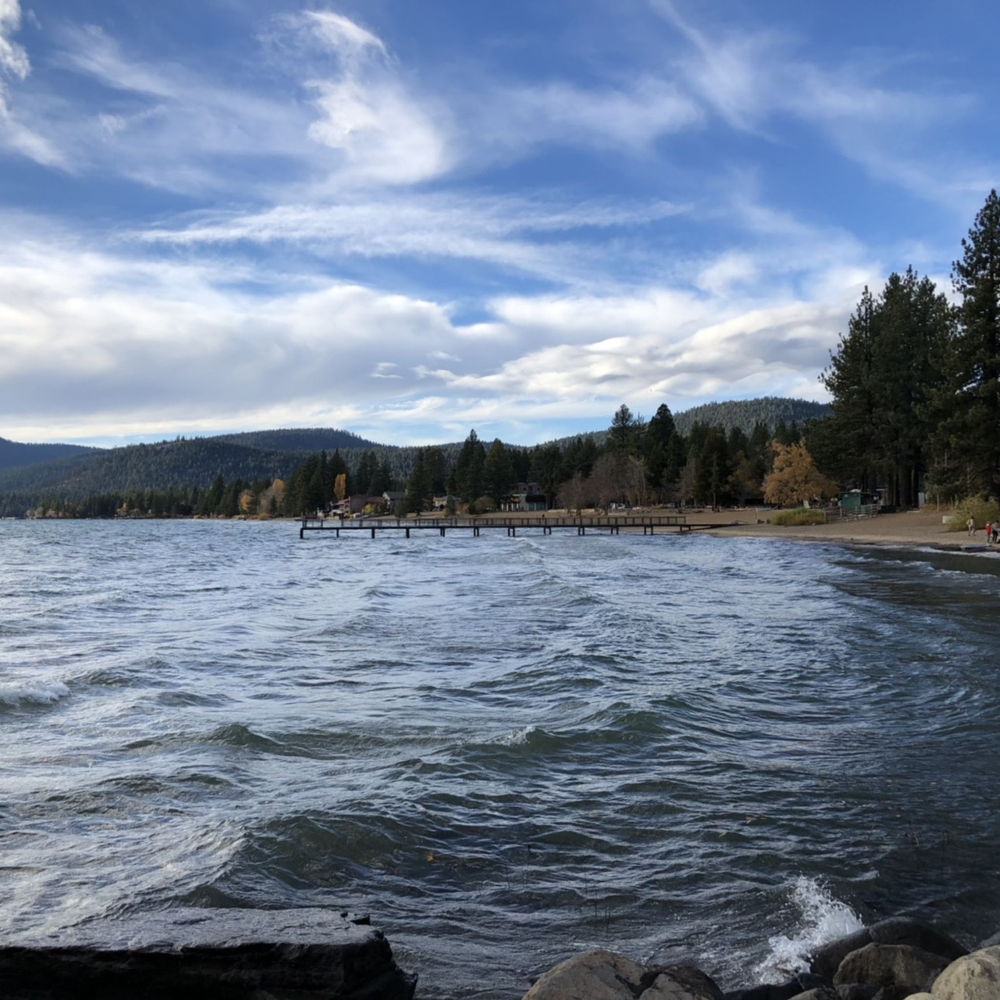
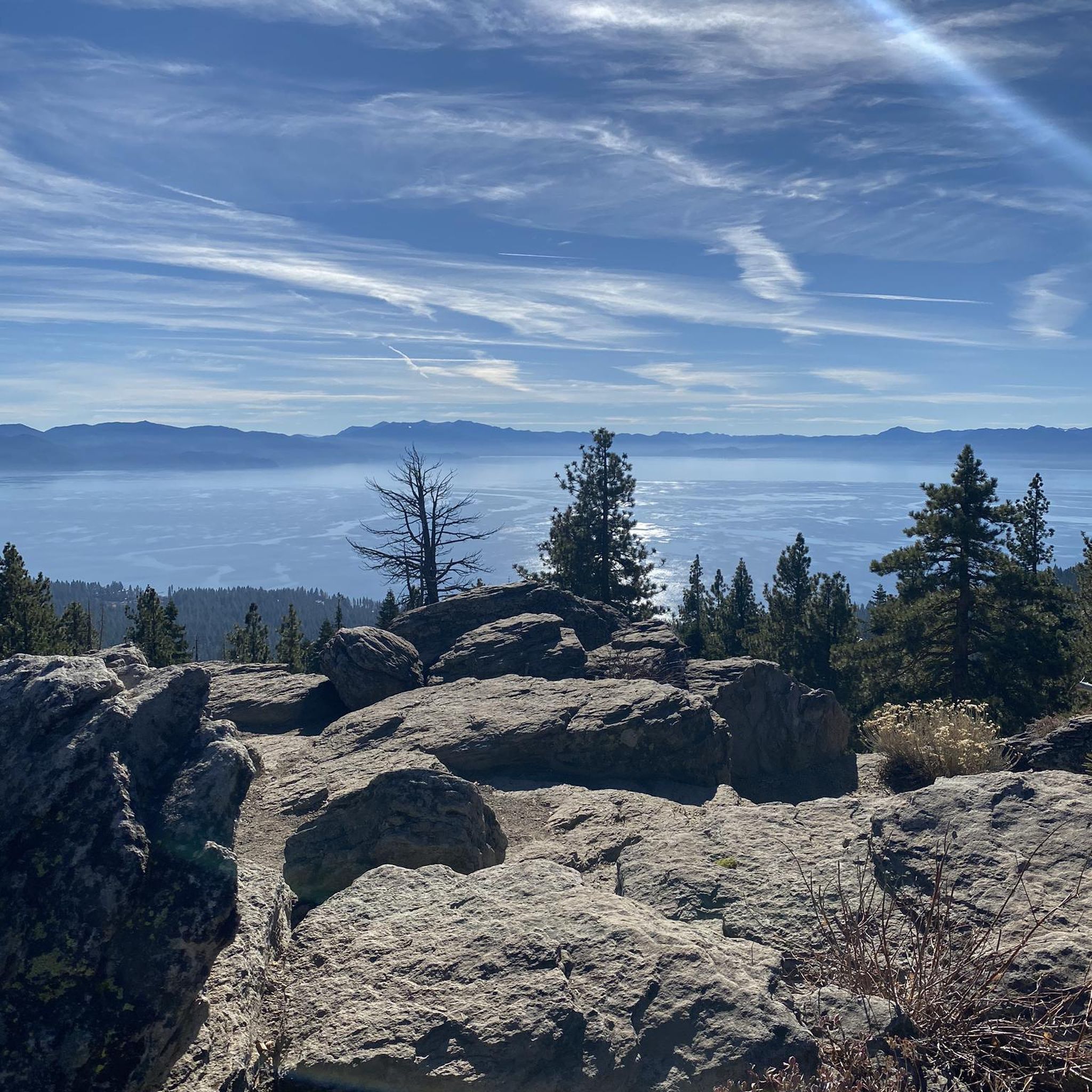
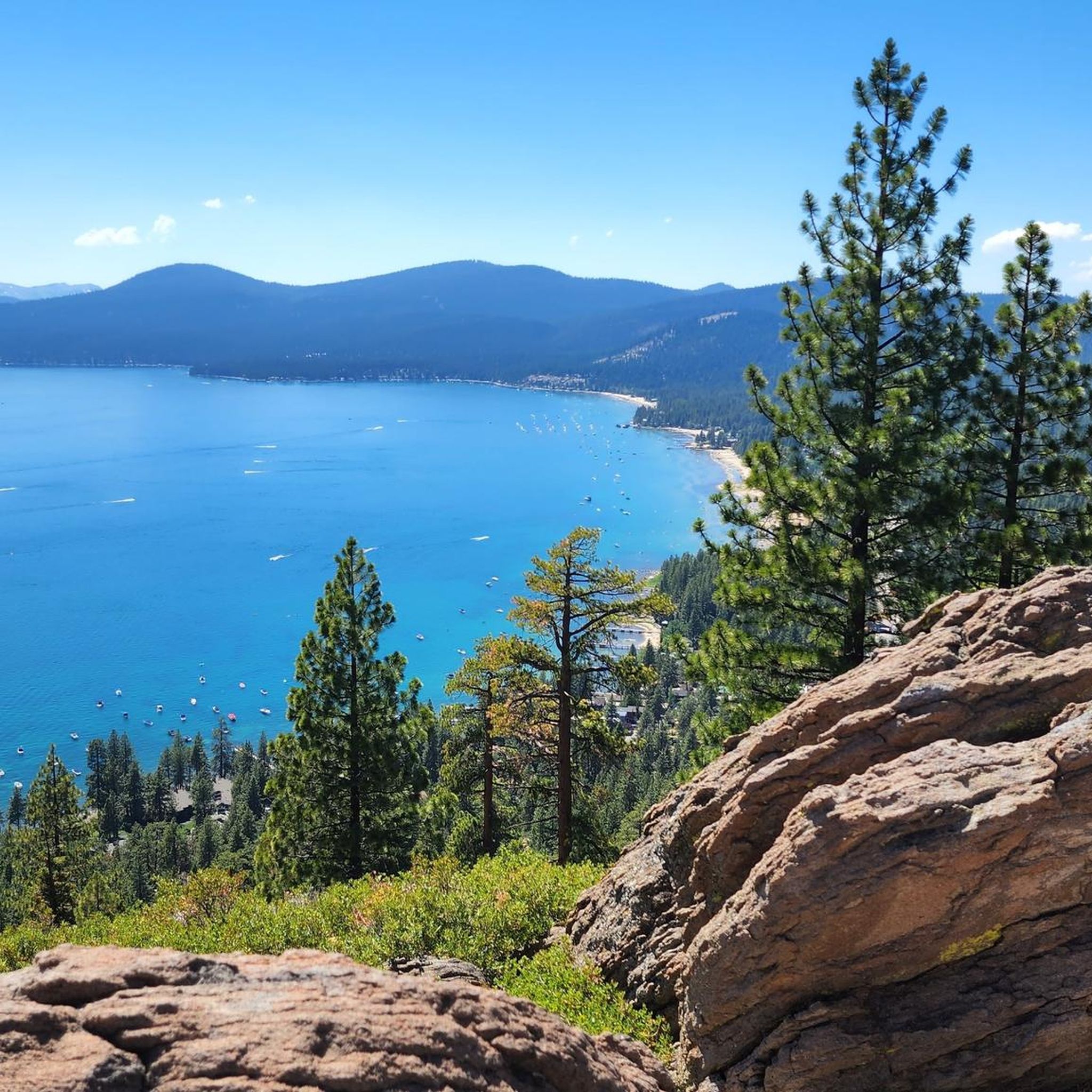
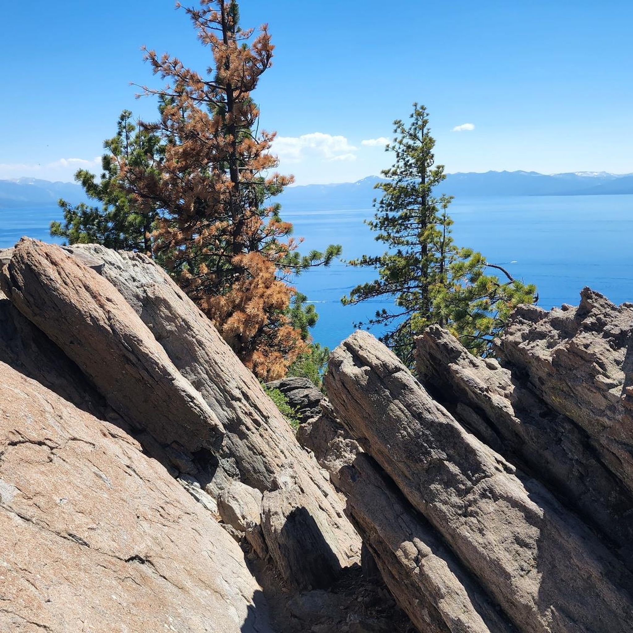
Other adventures around Kings Beach

Tips from the Community

Lake Tahoe is a large freshwater lake that straddles the border of California and Nevada. Sitting at 6,225 feet in elevation makes it the largest alpine lake in North America. It is a major tourist draw with its stunning beauty and world-class ski resorts.
0
0

The trail from Incline Village to Sand Harbor is a must for anyone visiting North Lake Tahoe. There is one hill as you leave/enter Incline Village, but the rest of the trail is flat and follows along Tahoe's east shore, with incredible views around every corner. Eventually you'll end up at the fantastic Sand Harbor State Park, where you can enjoy the sun, sand, and water before heading back to Incline Village.
1
0

Lake Tahoe Commons Beach is just a one-minute walk from the main street of Tahoe City. A nice beachfront area and a fantastic swimming spot.
0
0

This is a small dirt road leading to a spectacular view from the Tahoe Rim Trailhead. There is a clearing in the trees that allows you to see all the way down to Lake Tahoe. There is quite a lot of climbing to get here, but it makes it all worth it!
0
0
Lake Tahoe Commons Beach is just a one minute walk from the main street of Tahoe City. A nice beachfront area and a fantastic swimming spot.
0
0
Great viewpoint above Crystal Bay with a number of plaques with info about Tahoe. It can get busy in the summer, but if you get here early you'll beat the crowds.
0
0

Mantis Peak Lookout is the spot of a fire lookout built in 1914. There are several routes up to the top and are definitely worth the effort for the great views from the lookout.
1
0
Mantis Peak Road is a narrow, paved road leading to Mantis Peak Lookout, home to a fire lookout built in 1914. Sometimes the pavement has cracks and potholes, so be aware. It is used by cars, bikers, and hikers, so be careful when coming around turns. Mantis Peak Road is closed in the winter.
0
0
Frequently Asked Questions
What kind of terrain can I expect on touring cycling routes around Kings Beach?
The Kings Beach area offers diverse terrain for touring cyclists, including pine forests, mountain roads, and scenic lakefront paths. You'll find routes with gentle slopes as well as more challenging climbs, all set against the backdrop of Lake Tahoe and the Sierra Nevada mountains.
Are there easy touring cycling routes suitable for beginners in Kings Beach?
Yes, Kings Beach has routes suitable for beginners. There are 4 easy touring cycling routes available. For a moderate option that is popular and winds through forested areas, consider the Burton Creek and Dollar Reservoir Loop.
What are some challenging touring cycling routes for advanced riders?
For advanced touring cyclists seeking a challenge, Kings Beach offers 10 difficult routes. A notable option is Fire Road 16N54 via North Lake Boulevard loop, which features significant elevation gain.
Are there any family-friendly touring cycling routes in Kings Beach?
While specific 'family-friendly' designations aren't always explicit, routes with lower difficulty and less elevation are generally suitable. The area's easy routes, such as those with gentle slopes and paved sections, would be good starting points for families. Always check the route details for distance and elevation to ensure it matches your family's ability.
What is the best time of year for touring cycling in Kings Beach?
The best time for touring cycling in Kings Beach is typically from late spring through early fall (May to October). During these months, the weather is generally mild, and the routes are clear of snow. Summer offers warm temperatures perfect for lake views, while spring and fall provide cooler rides and beautiful foliage.
Are there touring cycling routes that offer views of Lake Tahoe?
Absolutely. Many routes in Kings Beach provide stunning views of Lake Tahoe. The Kings Beach to Stateline Fire Lookout loop is a great example, leading to a fire lookout point with panoramic vistas of the lake.
What kind of wildlife might I spot while touring cycling in Kings Beach?
Kings Beach is nestled in a natural environment, so you might encounter various wildlife. Common sightings include deer, squirrels, and a variety of bird species. Keep an eye out, especially in forested areas and during quieter times of the day.
Are there any circular touring cycling routes around Kings Beach?
Yes, many touring cycling routes in Kings Beach are loops. For instance, the Burton Creek and Dollar Reservoir Loop and the Kings Beach to Stateline Fire Lookout loop are both popular circular routes.
What are some interesting landmarks or natural attractions I can see along the routes?
Kings Beach offers several natural attractions. You might encounter Monkey Rock, Sand Harbor Beach, or Memorial Point Overlook. For mountain views, consider routes near Mantis Peak Lookout or Mount Baldy.
How do other touring cyclists rate the routes in Kings Beach?
The touring cycling routes in Kings Beach are highly rated by the komoot community, with an average score of 4.4 stars from over 10 reviews. Cyclists often praise the scenic lake views, the peaceful pine forests, and the variety of mountain roads available.
Can I find routes that connect Kings Beach to other areas like Tahoe City?
While specific routes directly named 'Kings Beach to Tahoe City' aren't listed, the region's network of trails allows for connections. Many routes, such as the Sand Harbor Beach – Lake Tahoe loop from Incline Village-Crystal Bay, traverse significant portions of the lake's north shore, making it possible to link up different areas. You can plan custom tours on komoot to connect these points.
Are there any touring cycling routes that lead to a lookout point?
Yes, there are routes that take you to scenic lookout points. The Martis Peak Lookout via Martis Peak Road is a popular option that leads through mountain terrain to a lookout, offering expansive views.
Most popular attractions around Kings Beach

Get inspired with the komoot mobile app


Explore more
Browse the best Cycling routes in other regions.
