The 13 Most Amazing Peaks around Kentfield
Best mountain peaks around Kentfield are primarily found in the surrounding Marin County, a region known for its diverse landscapes including redwood groves, manzanita-covered hillsides, and picturesque lakes. Kentfield is situated at the eastern slopes of Mount Tamalpais, which defines much of the area's elevated terrain. The region offers an extensive network of trails and elevated viewpoints, providing varied mountain-like experiences. These areas feature diverse ecosystems and opportunities for different levels of outdoor activity.
Best mountain peaks around Kentfield
- The…
Last updated: May 12, 2026
Mount Tamalpais — East Peak
Highlight • Summit
Tip by

Horse Hill Bike Path
Highlight (Segment) • Cycleway
Tip by
Sign up now to discover places like this
Get recommendations on the best single tracks, peaks, & plenty of other exciting outdoor places.
Sign up for free
Cardiac Hill (Dipsea Trail, Mount Tamalpais State Park)
Highlight • Summit
Tip by
White Hill Summit on Sir Francis Drake Boulevard
Highlight • Summit
Tip by
Bare Knoll
Highlight • Summit
Tip by

Sign up for free to discover even more peaks around Kentfield.
Sign up for free
Already have an account?
Start today with a free account
Your next adventure awaits.
Login or Signup
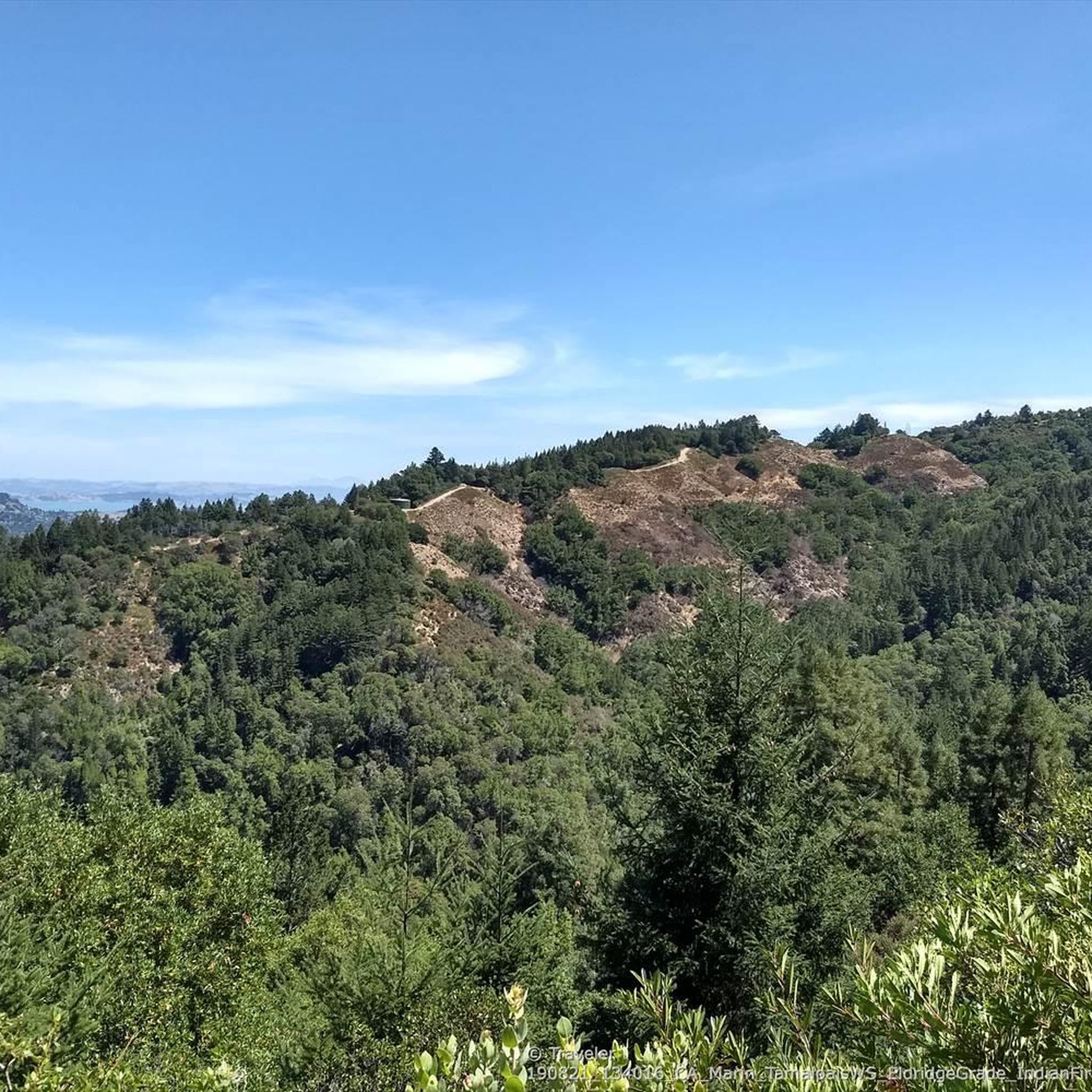
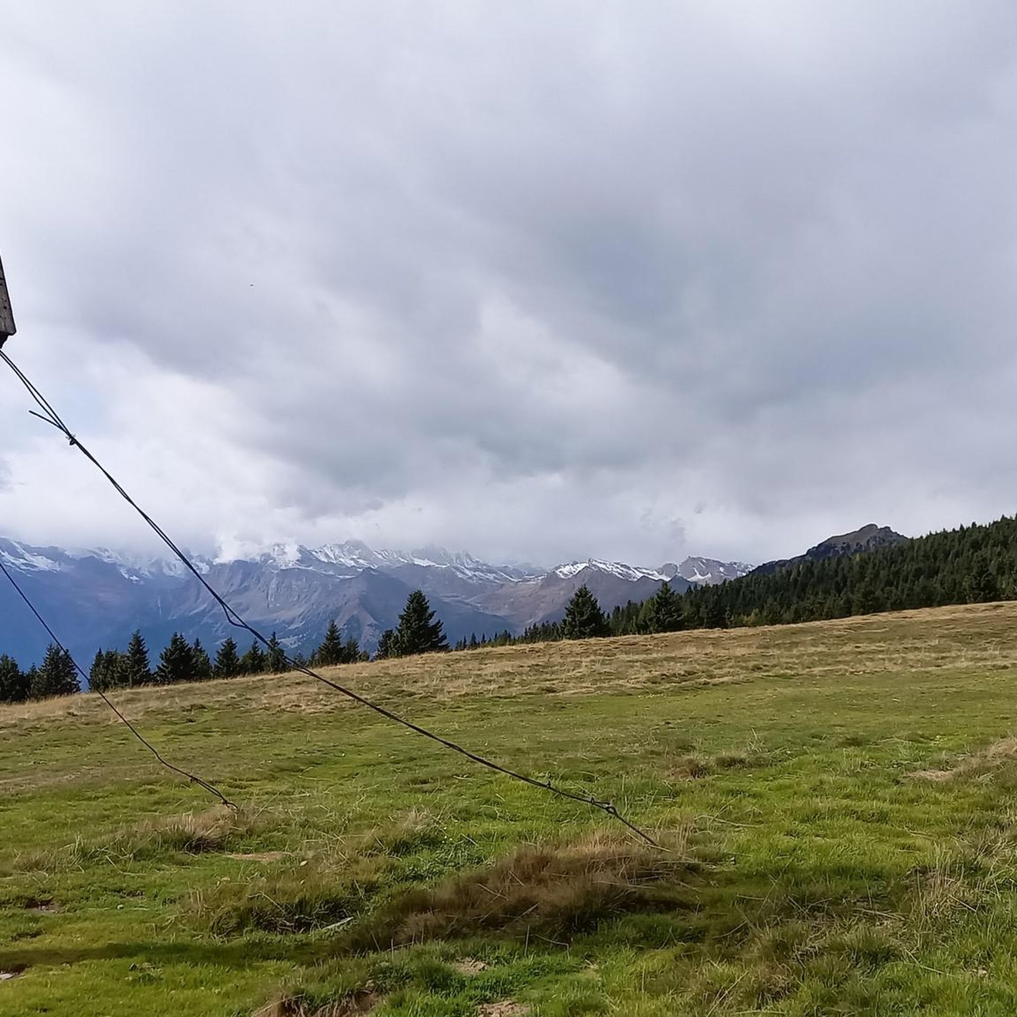
Tips from the Community

One of the best views in the entire Bay Area. No question.
0
0

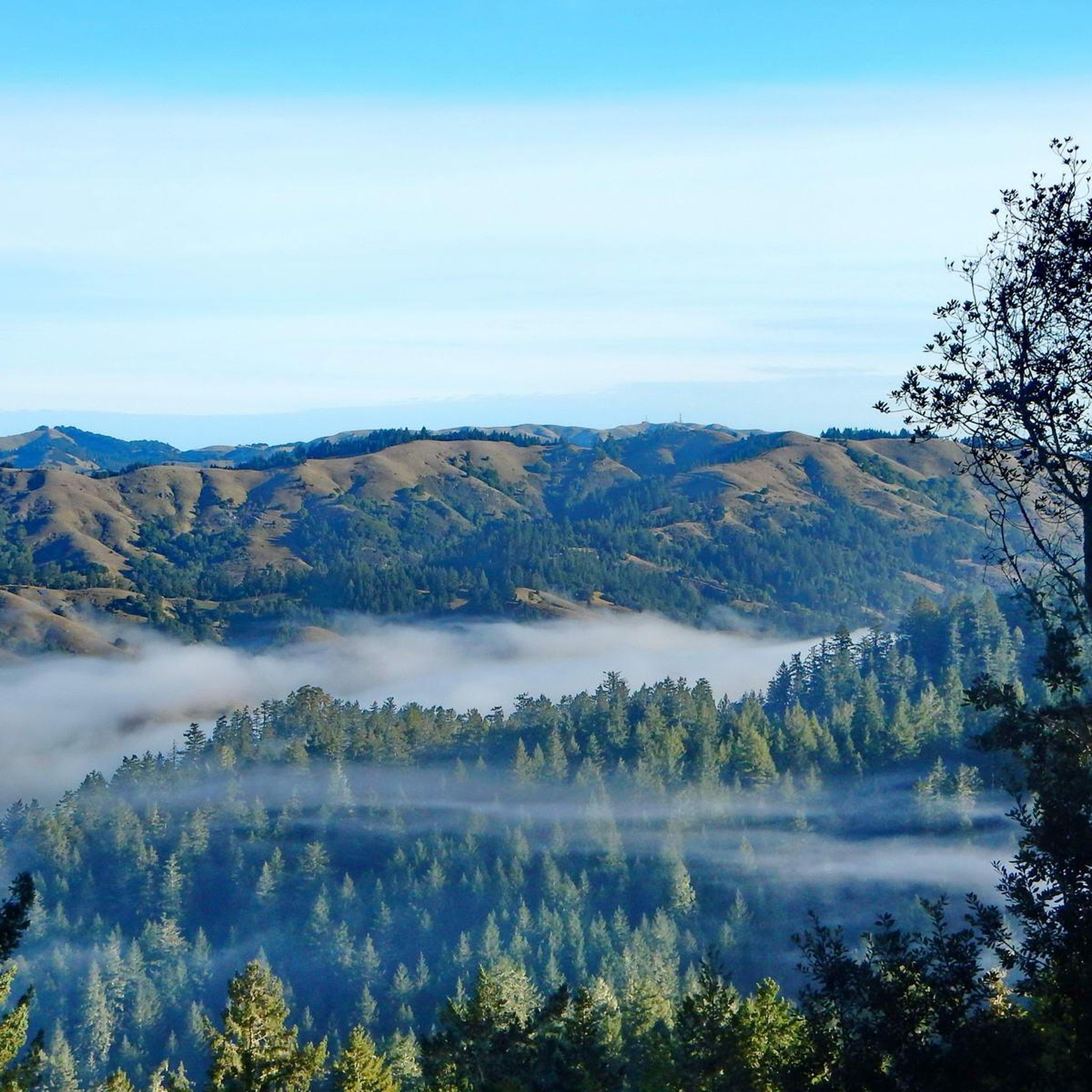
Mount Tam East Peak offers some of the most majestic views north of the bay. From this vantage point, you can see all of Marin, along with Point Reyes to the north and Oakland and San Francisco to the south. The stunning panoramic vistas make the journey well worth the effort. There are restrooms and picnic tables, ideal for a snack or lunch while you capture some incredible photos.
1
0

Steep heading West can have traffic on SFD
0
0

Great lookout with a usually closed summit hut at 2571 feet (784 m) elevation. Outstanding views of the Bay, Marin County, San Francisco, and the Pacific Ocean.
0
0

Bare Knoll is a relatively small peak that allows you to see views stretching from Stinson Beach into the Gulf of the Farallones.
1
0

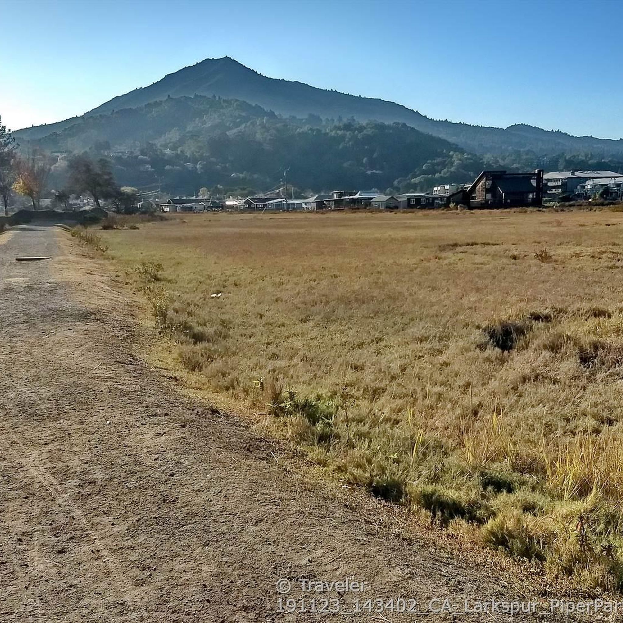
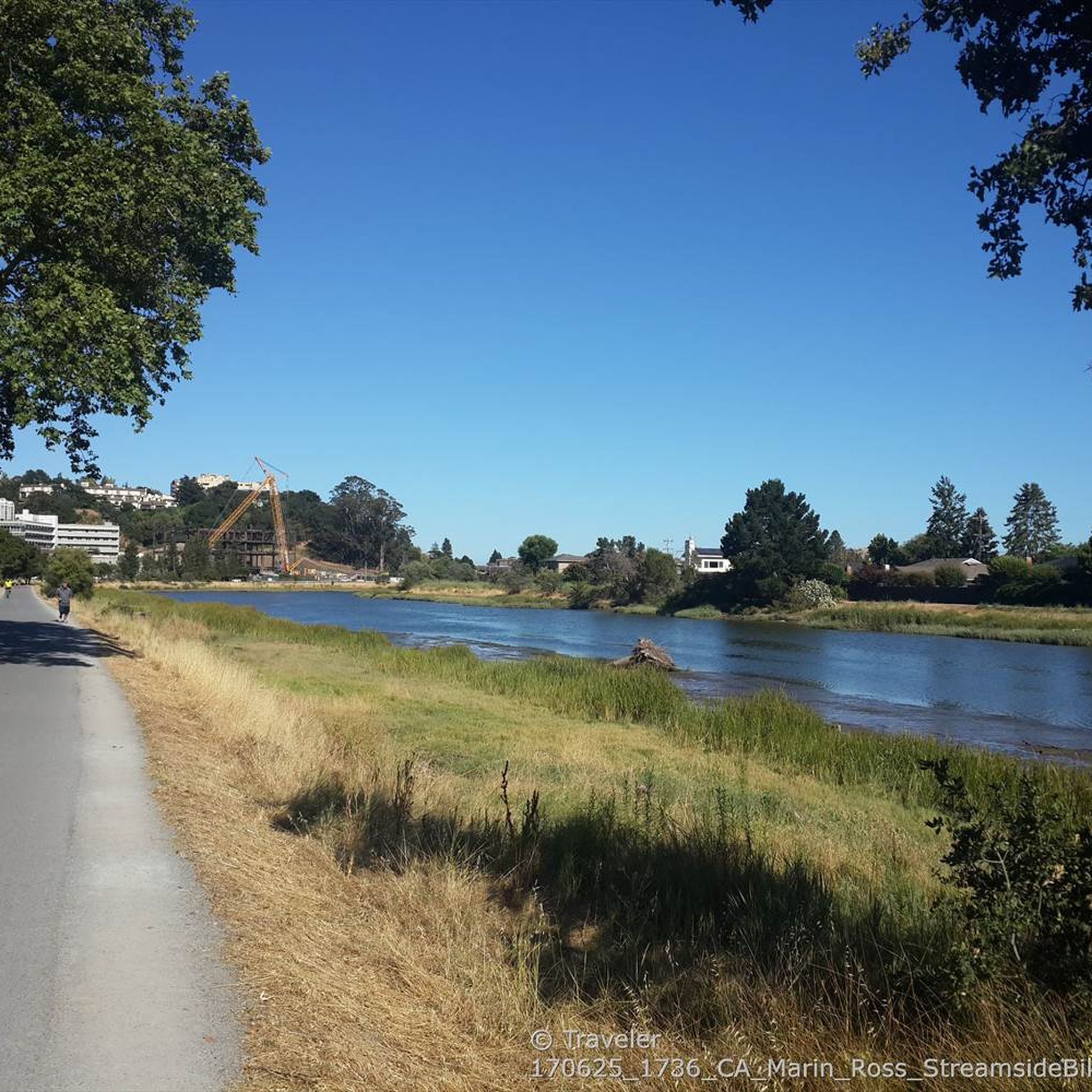
There are, indeed, horses on this hill. Connector path between Mill Valley and Corte Madera, easier than Camino alto. The alto tunnel is still closed, learn more here: https://openaltotunnel.org/
0
0

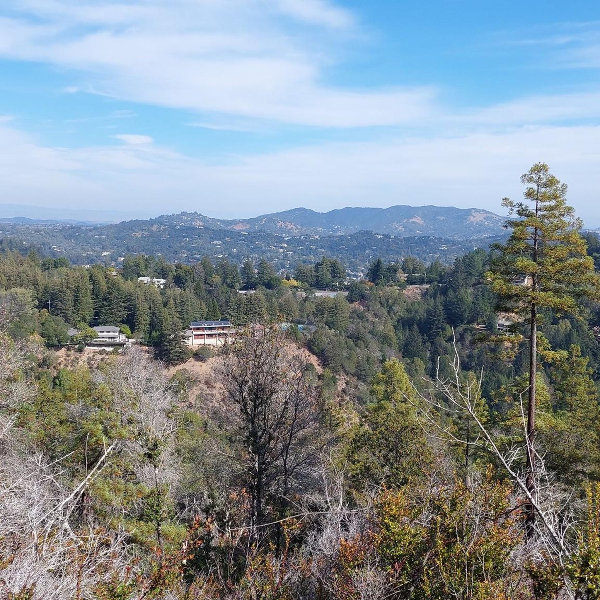
This trail runs along part of the Dipsea Trail and heads towards Cardiac Hill. The first section is characterised by a wooden stairway, then the path goes into a lush forest.
0
0
Highest peak in Marin County, north of the Golden Gate with fantastic panoramic views in all directions, from the Bay to the Pacific, to the skyline of San Francisco as well as the small towns, bays and coastline along the North Bay.
1
0
Frequently Asked Questions
What are some easy mountain hikes near Kentfield?
For an easy and popular option, consider the Phoenix Lake Loop, a 2.8-mile (4.6 km) trail that takes about 1 hour and 13 minutes to complete. It offers accessible paths around Phoenix Lake with diverse landscapes. Another accessible choice is the King Mountain Loop Trail, an easy 2.0-mile (3.24 km) loop with an 80m elevation gain, offering panoramic views of the San Francisco Bay.
Are there family-friendly mountain trails around Kentfield?
Yes, the area offers several family-friendly options. The Phoenix Lake Loop is an easy trail suitable for families. Additionally, the Horse Hill Bike Path is a paved cycleway that is categorized as family-friendly, providing a lower elevation crossing between Mill Valley and Corte Madera.
What natural features can I expect to see on mountain trails near Kentfield?
The trails around Kentfield, particularly on the slopes of Mount Tamalpais, offer diverse natural beauty. You can expect to see redwood groves, scenic lakes like Phoenix Lake, and manzanita-covered hillsides. Many trails also provide panoramic views of the surrounding natural landscape and the San Francisco Bay.
What is the best time of year to hike the mountains near Kentfield?
The region generally offers pleasant hiking conditions year-round. Spring brings lush greenery and seasonal waterfalls, while fall provides clear views and comfortable temperatures. Summer can be warm, so early morning hikes are recommended. Winter offers cooler weather, but trails are generally accessible, though some may be muddy after rain.
Are there dog-friendly hikes near Kentfield peaks?
Many trails in the Mount Tamalpais watershed and surrounding open spaces are dog-friendly, though leash requirements vary. For example, the Crown Road Trails, which offer various options on the slopes of Mount Tamalpais, are popular among locals for their dog-friendly nature. Always check specific trail regulations before heading out with your pet.
Where can I find challenging day hikes around Kentfield?
For a more challenging experience, consider the Eldridge Grade Fire Road, a moderate 4.1-mile trail with 1,624 feet of elevation gain, offering diverse terrain and rewarding views. Another option is the Dawn Falls and Hoo-Koo-E-Koo Loop, an 8.9-mile moderate hike through redwood forests with panoramic views. The Cardiac Hill (Dipsea Trail, Mount Tamalpais State Park) is also known for its challenging sections.
What are some of the best viewpoints in the Kentfield mountain areas?
The region is rich in viewpoints. From Blithedale Summit Open Space Preserve, you can enjoy significant panoramic views. The King Mountain Loop Trail also offers rewarding views of the San Francisco Bay. For expansive vistas stretching from Stinson Beach into the Gulf of the Farallones, visit Bare Knoll.
What outdoor activities can I do near these mountain peaks besides hiking?
Beyond hiking, the area around Kentfield offers excellent opportunities for cycling. You can explore gravel biking routes like the Phoenix Lake – Fish Gulch trail junction loop, or road cycling routes such as the Golden Gate Bridge loop. For more options, check out the Gravel biking around Kentfield guide or the Road Cycling Routes around Kentfield guide.
Are there any specific mountain peaks known for their historical significance?
While not a peak itself, White Hill Summit on Sir Francis Drake Boulevard has historical significance. The saddle was originally cut for a train in the 19th century and later widened for the highway, making it a notable historical passage in the area.
What are some less crowded mountain trails near Kentfield?
While popular spots can get busy, exploring trails within the Mount Tamalpais Watershed, beyond the immediate Phoenix Lake loop, can offer more solitude. The Crown Road Trails also provide various options, and exploring different segments or less-trafficked times can lead to a quieter experience.
What is Mount Tamalpais and how is it related to Kentfield?
Mount Tamalpais is the primary elevated feature and the most prominent 'mountain peak' associated with Kentfield. Kentfield is situated at its eastern slopes. While its summit is not directly within Kentfield, many trails accessible from Kentfield lead to or traverse its slopes, offering diverse hiking experiences and stunning vistas. The highest point, West Peak, reaches about 785 meters.
Are there any running trails near the mountain peaks around Kentfield?
Yes, there are numerous running trails. For example, the Dawn Falls loop from Mill Valley is a moderate 7.67 km route. You can find more options and detailed routes in the Running Trails around Kentfield guide.
Most popular attractions around Kentfield

Get inspired with the komoot mobile app


Explore more
See even more amazing summits around Kentfield with these guides:
