The best walks and hikes around Großer Prebelowsee
4.6
(4690)
16,769
hikers
552
hikes
Hiking around Großer Prebelowsee, located in the Rheinsberg Lake Region of northern Brandenburg, Germany, offers diverse landscapes characterized by interconnected waterways and tranquil natural features. The area is defined by numerous lakes, including Großer Prebelowsee itself, Tietzowsee, Krummesee, and Haussee, which are often linked by canals like the Prebelow Canal. These natural features create varied scenery, providing opportunities for waterside trails and paths through the surrounding nature reserve.
Best hiking trails around Großer Prebelowsee
- The most popular hiking route is…
Last updated: June 27, 2026
5.0
(4)
5
hikers
13.7km
03:33
80m
80m
Moderate hike. Good fitness required. Easily-accessible paths. Suitable for all skill levels.
4.4
(48)
147
hikers
12.2km
03:09
60m
60m
Moderate hike. Good fitness required. Easily-accessible paths. Suitable for all skill levels.

Sign up for free
4.4
(21)
62
hikers
Moderate hike. Good fitness required. Easily-accessible paths. Suitable for all skill levels.
4.3
(9)
19
hikers
9.95km
02:33
40m
40m
Moderate hike. Good fitness required. Easily-accessible paths. Suitable for all skill levels.
4.3
(6)
22
hikers
9.44km
02:26
50m
50m
Moderate hike. Good fitness required. Easily-accessible paths. Suitable for all skill levels.
Get access to more routes and recommendations from other explorers.
Sign up for free
Already have an account?
Our route recommendations are based on thousands of hikes, rides, and runs completed by other people on komoot.
Start today with a free account
Your next adventure awaits.
Login or Signup
Tips from the Community

The Schlabornsee is a 57 hectare natural lake and is part of the Rheinsberg chain of lakes.
1
0

Right next door you will find nice rest areas.
0
0
Small and original "playground" 😉
0
0

At this point, there is not only a great view of the lake or a swimming area, but you also cross the state borders of Mecklenburg-Western Pomerania and Brandenburg.
1
0

Small, lovely church at the end of the Rheinsberg bus line. We walked from here to the former nuclear power plant and then back to Rheinsberg.
0
0

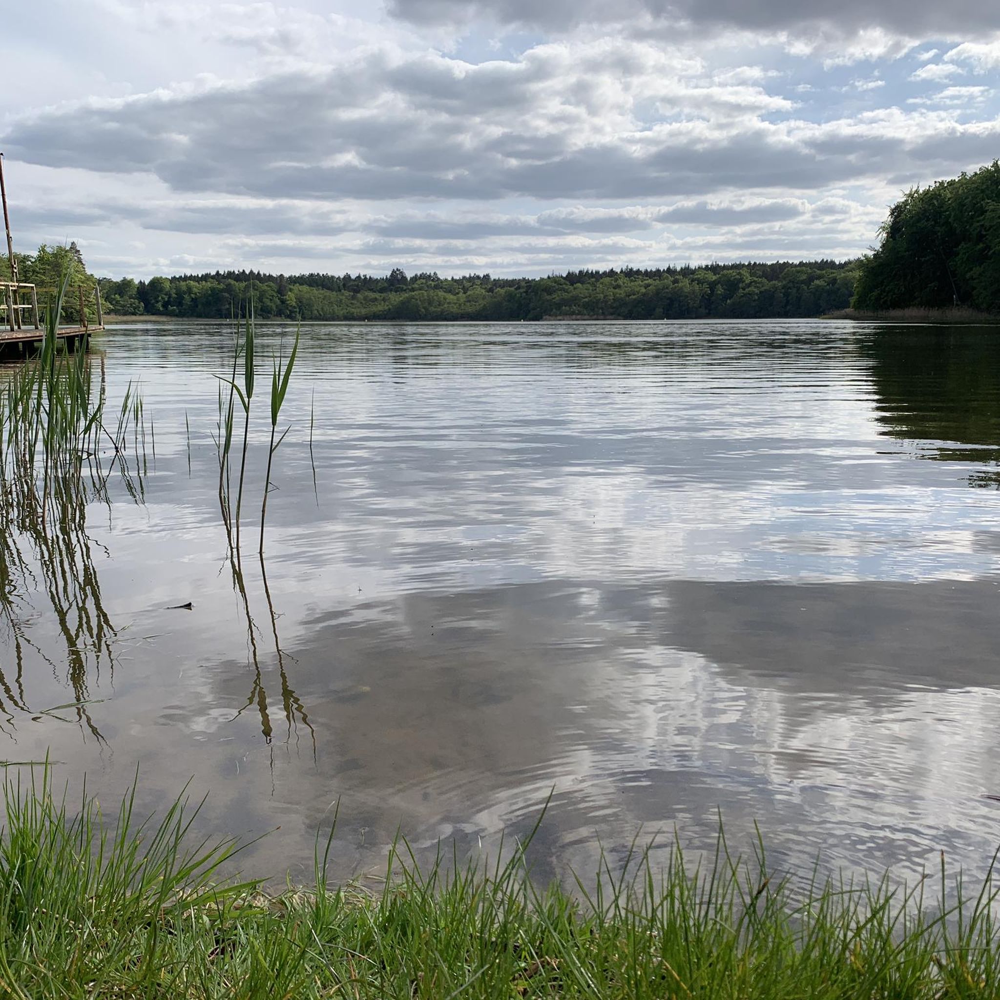
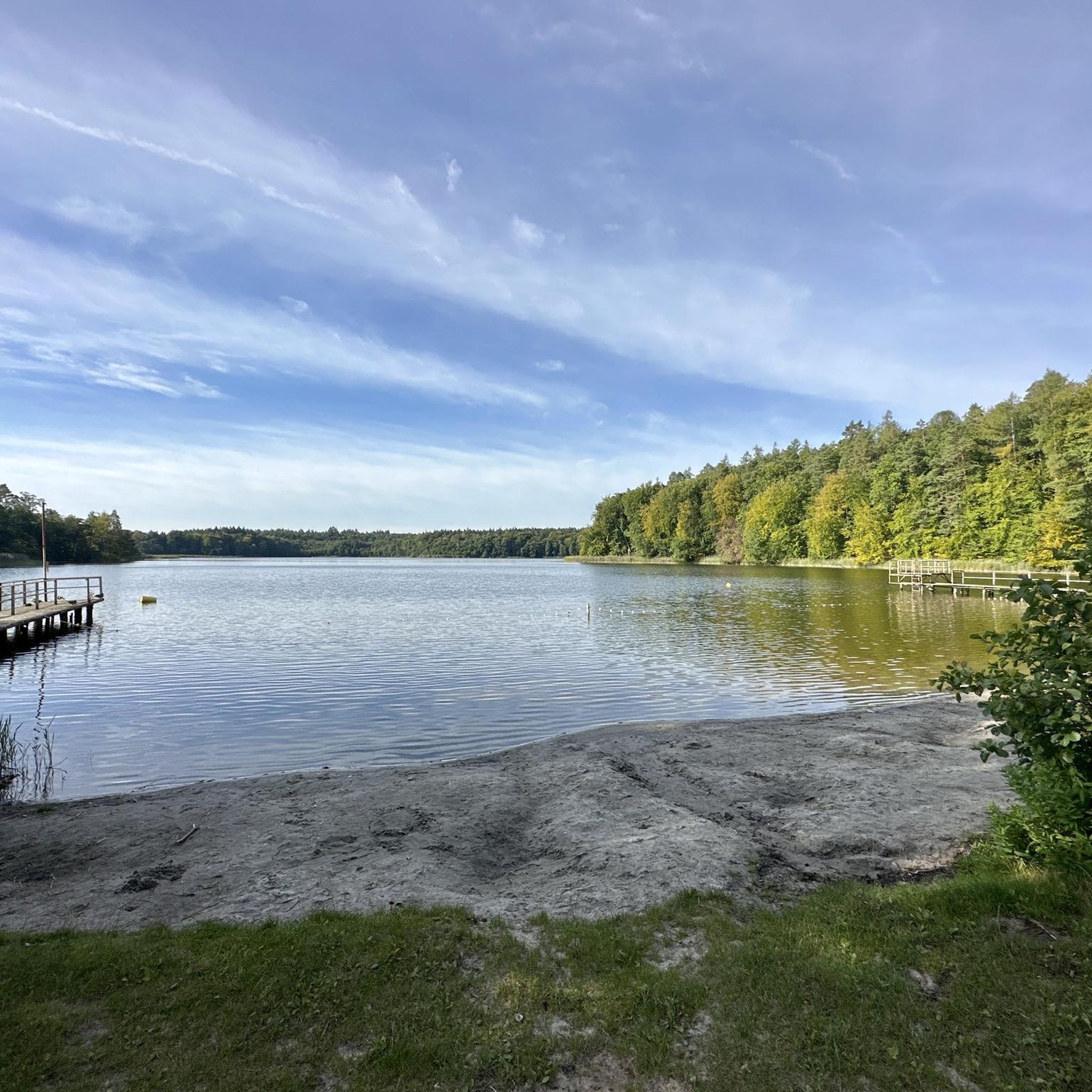
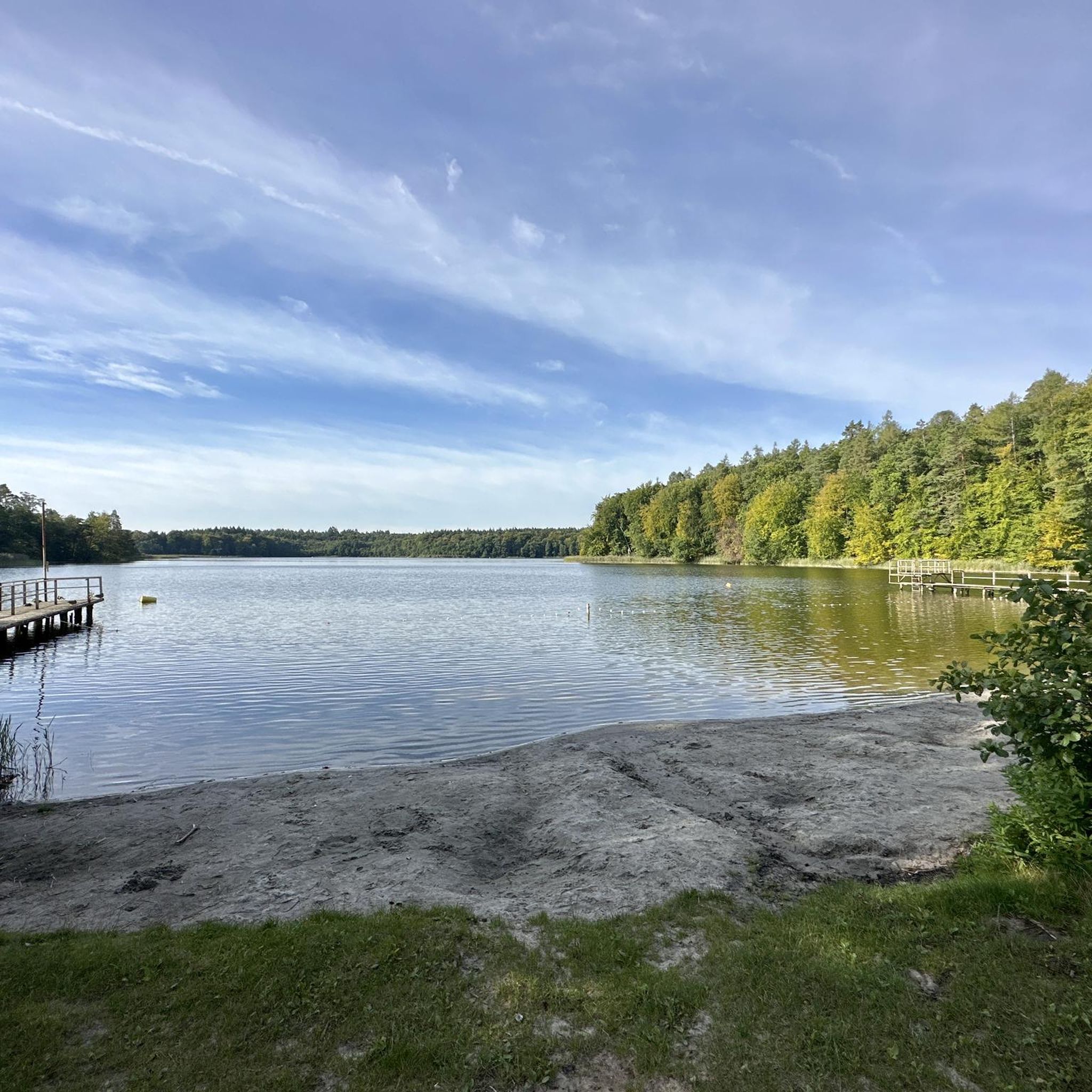
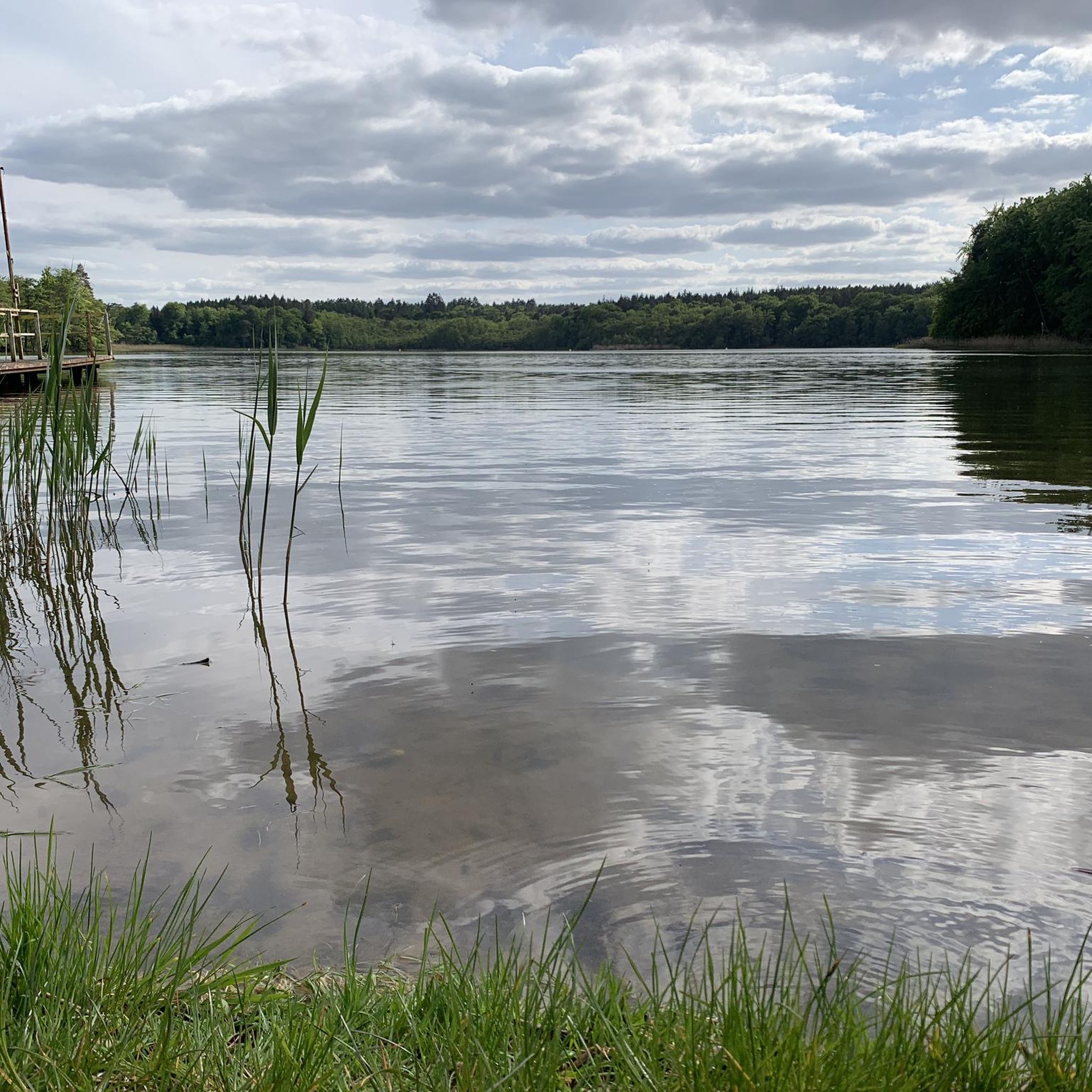
Beautiful bathing area with lawn, sandy beach and jetty.
0
0

Busy canal. You can always see watercraft. There is a lovely resting place for water and land hikers right at the mouth of the lake.
1
0
Hikers (on water and on land), runners and cyclists can take a nice break here. A fantastic view over the lake and the traffic from the Jagow Canal. Everything in the shade of a large meadow. Beautifully green, quiet, idyllic. There is a covered bench and another one a little higher up under alders without a roof. From here you can also take a meadow path directly to the jetty next door or take a staircase to the Jagow Canal bridge.
1
0
Frequently Asked Questions
What kind of hiking trails can I expect around Großer Prebelowsee?
The Großer Prebelowsee region offers a diverse range of hiking trails, with over 500 routes available. You'll find paths suitable for various fitness levels, including over 300 easy walks and 230 moderate trails. The landscape is characterized by numerous interconnected lakes and canals, providing scenic waterside paths and routes through natural reserve areas.
Are there easy hiking options suitable for beginners or families?
Yes, Großer Prebelowsee is well-suited for easy walks. Over 300 of the available routes are classified as easy, typically up to two hours long with minimal elevation gain. An excellent option for a shorter, family-friendly walk is the Café terrace – Großer Grünplaner See loop from Großer Prebelowsee, which is an easy 4.0 km path.
What are the typical terrain and elevation changes on trails in this area?
The terrain around Großer Prebelowsee is generally gentle, characterized by paths along lakeshores and through woodlands. Elevation changes are usually minimal, especially on easy routes. Even moderate trails, like the Lake Schlaborn – Lake Schlaborn loop from Prebelow, feature modest ascents and descents, making the area accessible for most hikers.
Are there any circular hiking routes around Großer Prebelowsee?
Yes, many of the trails around Großer Prebelowsee are circular, allowing you to start and end at the same point. Popular circular routes include the Lake Schlaborn – Lake Tietzow loop from Kleinzerlang, which takes you through the interconnected lake system, and the Wolfsbruch Lock – Bridge Over the Hüttenkanal loop from Siedlung I.
What natural features or landmarks can I see while hiking?
The region is rich in natural beauty, primarily centered around its numerous lakes and waterways. You'll encounter the Großer Prebelowsee itself, along with nearby Tietzowsee, Krummesee, and Haussee, often connected by canals like the Prebelow Canal. The Great Prebelowsee Bathing Beach is a notable feature, and you might also spot various cycle paths like the Cycle Path by Lake Stechlin.
What do other hikers say about the trails in Großer Prebelowsee?
The hiking trails around Großer Prebelowsee are highly regarded by the komoot community, holding an average rating of 4.6 stars from over 4,200 reviews. Hikers frequently praise the serene lake environment, the well-maintained paths, and the varied scenery offered by the interconnected waterways and surrounding nature reserve.
Are there any places to swim or cool off near the hiking trails?
Yes, the Großer Prebelowsee area is known for its bathing opportunities. The northern shore features a large bathing area, and there's a dedicated Great Prebelowsee Bathing Beach with a non-swimmer area, making it ideal for combining hiking with a refreshing swim, especially during warmer months.
Is there parking available near the trailheads?
While specific parking locations for every trailhead are not detailed, the presence of a campsite (Prebelowablage) on the eastern shore and the general accessibility of the area suggest that parking facilities are available at common starting points for hikes. It's advisable to check specific route details on komoot for precise parking information.
Can I reach the hiking trails using public transport?
The region around Großer Prebelowsee is connected to nearby towns like Rheinsberg and Diemitz, which can serve as access points. While direct public transport to every trailhead might be limited, these towns often provide connections that can get you close to the starting points of various routes. For specific routes, checking local bus schedules or regional transport options is recommended.
Are there any facilities like cafes or restaurants along the trails?
While the region is primarily natural, the presence of a campsite (Prebelowablage) and the mention of a 'Café terrace' in one of the route names (Café terrace – Großer Grünplaner See loop from Großer Prebelowsee) indicate that there are some facilities available. For more comprehensive options, nearby towns like Rheinsberg would offer a wider selection of cafes and restaurants.
What is the best time of year to go hiking in Großer Prebelowsee?
The Großer Prebelowsee region is enjoyable for hiking across multiple seasons. Spring and autumn offer pleasant temperatures and vibrant natural colors, while summer is ideal for combining hikes with swimming in the lakes. Even winter can provide unique, tranquil experiences, though some services might be limited.
Most popular routes around Großer Prebelowsee
Most popular attractions around Großer Prebelowsee

Get inspired with the komoot mobile app


Explore more
Browse the best Hikes in other regions.
