The best road cycling routes around East Whittier
4.9
(37)
1,147
riders
48
rides
Road cycling around East Whittier offers diverse terrain, including significant elevation changes and dedicated bike paths. The region features varied landscapes such as the Whittier Hills, river pathways along the Rio Hondo and San Gabriel River, and numerous green spaces. These physical features provide a range of cycling experiences, from challenging climbs to leisurely rides through natural areas.
Best road cycling routes around East Whittier
- The most popular road cycling route is Hawks Pointe to Laguna Lake loop, an…
Last updated: September 30, 2026
19.2km
00:56
260m
250m
This easy 11.9-mile road cycling loop in West Coyote Hills offers 843 feet of elevation gain and passes by Laguna Lake.
27
riders
Moderate road ride. Good fitness required. Mostly well-paved surfaces and easy to ride.

25
riders
39.8km
02:16
840m
840m
Moderate road ride. Good fitness required. Mostly well-paved surfaces and easy to ride.
20
riders
Easy road ride. Great for any fitness level. Mostly well-paved surfaces and easy to ride.
19
riders
55.4km
02:54
720m
720m
Moderate road ride. Good fitness required. Mostly well-paved surfaces and easy to ride.
Get access to more routes and recommendations from other explorers.
Already have an account?
Our route recommendations are based on thousands of hikes, rides, and runs completed by other people on komoot.
Start today with a free account
Your next adventure awaits.



Tips from the Community

Limited cars use the roads so it is nice to get away from traffic
0
0

Ride through Turnbull Canyon and be rewarded with stunning views of Los Angeles County and surround yourself with a mix of natural beauty and historical intrigue. The road climbs with an average gradient of 5.2%, gaining 775 feet in elevation and peaking at 1,161 feet. Be cautious of fast-driving vehicles on the winding roads.
1
0
Climb up into the picturesque and rural community of La Habra Heights, known for large properties, many of which allow for agricultural activities such as horse keeping and avocado farming. The area has fantastic views that reach as far as the ocean, and on a clear day, Catalina Island is visible.
1
0
Climbing up into La Habra Heights gives a rewarding view down into the city of Anaheim below.
1
0

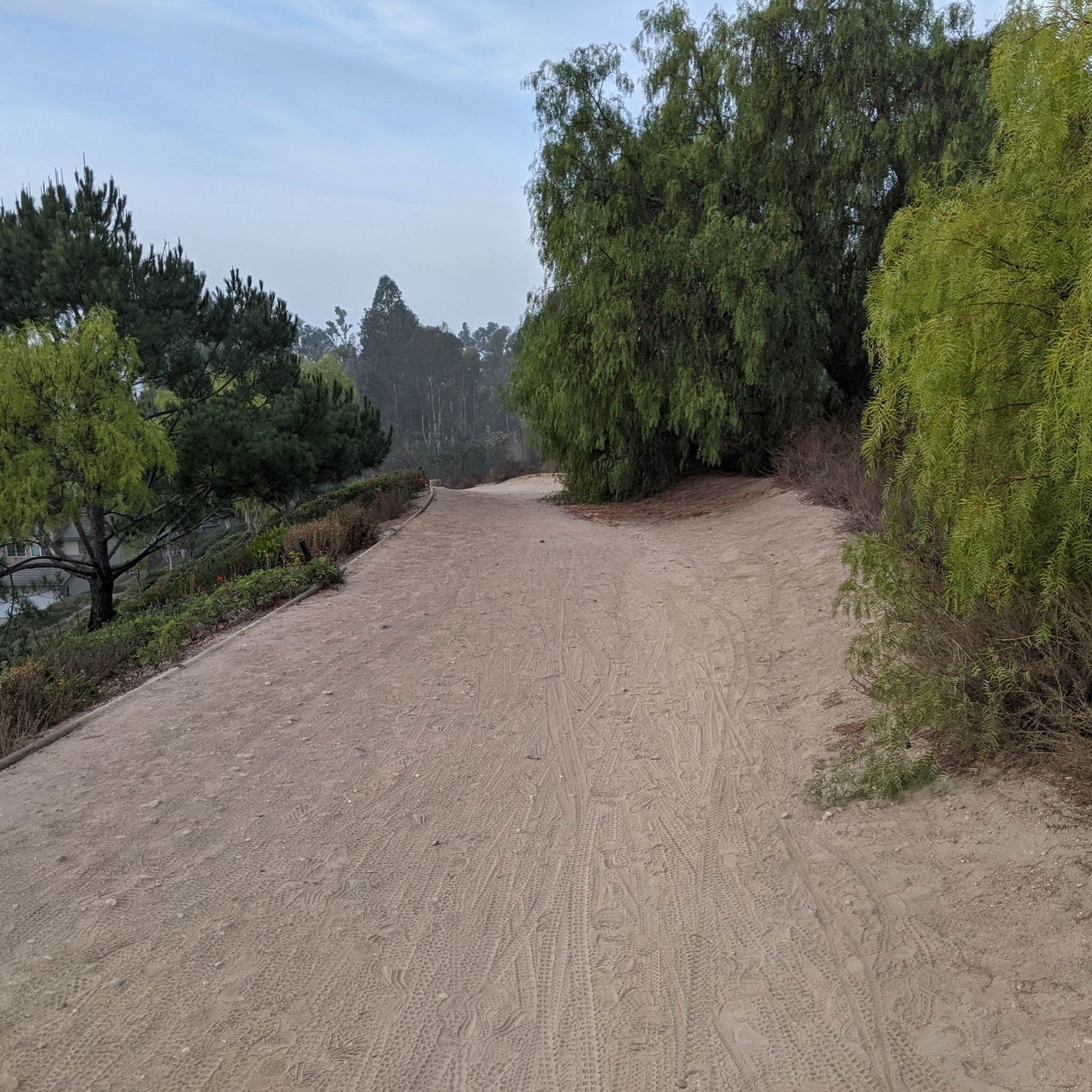
The trail is part paved concrete and part packed dirt, and takes you through a series of parks along the San Gabriel River. The trail runs for a mile and a half and is interrupted by only two road crossings.
0
0

be cautious, lots of young fast and furious wannabe racers out on the canyon at all hours of the day. listen to your surroundings. be safe
0
0

As you make your way along the San Gabriel River Trail, you will enjoy great views of the Los Alamitos Channel. It's a nice spot to ride along and a welcome break from the loud LA traffic.
0
0

Turnbull Canyon, nestled in Whittier, offers panoramic views of Los Angeles County. Rich in history and surrounded by nature, it's a popular destination for outdoor enthusiasts.
0
1
Frequently Asked Questions
How many road cycling routes are available in East Whittier?
East Whittier offers a wide selection of road cycling routes, with over 40 routes available on komoot. These routes cater to various skill levels, from easy rides to more challenging ascents through varied terrain.
Are there any easy or beginner-friendly road cycling routes in East Whittier?
Yes, East Whittier has several easy routes perfect for beginners or those seeking a relaxed ride. One popular option is the Hawks Pointe to Laguna Lake loop, an easy 11.9-mile trail that offers a pleasant ride around Laguna Lake. In total, there are 9 easy routes to explore.
What are some challenging road cycling routes for experienced riders in East Whittier?
For experienced cyclists looking for a challenge, East Whittier offers routes with significant elevation gains. The Turnbull Debris Basin – Turnbull Canyon loop from La Serna High School is a notable 25.5-mile trail known for its demanding climbs through Turnbull Canyon. There are 3 difficult routes and 34 moderate routes that provide a good workout.
Are there scenic road cycling routes with natural features in East Whittier?
Absolutely. East Whittier boasts scenic routes along river pathways and through green spaces. The region features access to the Rio Hondo and San Gabriel River bicycle paths, offering paved trails through riparian woodlands. The Coyote Creek Cycleway – Solitude on Coyote Creek Bikeway loop from La Mirada provides a consistent surface for cycling along the Coyote Creek Bikeway, offering a peaceful natural setting.
What kind of views can I expect on road cycling routes in East Whittier?
Road cycling in East Whittier offers diverse views. Routes through areas like the Whittier Hills provide expansive vistas, and on clear days, you can enjoy views stretching as far as Catalina Island and downtown Los Angeles. The varied terrain, including significant elevation changes, also provides panoramic outlooks over the landscape.
Are there any family-friendly road cycling options in East Whittier?
Yes, the Whittier Greenway Trail is an excellent choice for families. This 7.3-mile paved bikeway is a dedicated greenbelt that promotes active transportation and connects to a broader network of Los Angeles County trails, offering a safe and pleasant riding environment away from traffic.
Where can I find parking for road cycling routes in East Whittier?
Parking availability varies by route. For trails like the Whittier Greenway, there are often designated parking areas along its length. For routes accessing natural areas such as Turnbull Canyon or the Puente Hills Preserve, look for parking at trailheads or nearby public access points. Specific parking details are usually provided within individual route descriptions on komoot.
What are some points of interest or attractions near East Whittier's road cycling routes?
While cycling, you can explore several points of interest. The Turnbull Canyon offers challenging climbs and scenic views. You might also encounter natural features like Laguna Lake or the Whittier Narrows Natural Area and Nature Center, which encompasses riparian woodlands and lakes. The Whittier Greenway Trail also features 'stations' highlighting local history.
What do other road cyclists enjoy most about cycling in East Whittier?
The road cycling routes in East Whittier are highly rated by the komoot community, with an average score of 4.9 stars from over 20 reviews. Cyclists frequently praise the diverse terrain, from challenging hills to serene river pathways, and the variety of options available for different skill levels. The scenic beauty and well-maintained paths are also often highlighted.
Are there any long-distance road cycling routes in East Whittier?
Yes, East Whittier offers several longer routes for those seeking extended rides. For example, the View of La Habra Heights loop from La Mirada is a moderate 27.9-mile route, and the View of Anaheim – Puente Hills Preserve loop from La Mirada covers 23.1 miles, providing ample distance for a substantial ride.
Are there loop road cycling routes available in East Whittier?
Many of East Whittier's road cycling routes are designed as loops, offering a convenient way to start and end your ride at the same point. Examples include the Hawks Pointe to Laguna Lake loop and the Turnbull Debris Basin – Turnbull Canyon loop, allowing you to experience the diverse landscapes without retracing your path.
Most popular attractions around East Whittier

Get inspired with the komoot mobile app


Explore more
Browse the best Road cycling routes in other regions.
