The best road cycling routes around Del Monte Forest
5.0
(57)
1,787
riders
57
rides
Road cycling around Del Monte Forest features routes along the Pacific coastline and through dense forest areas. The region is characterized by its varied terrain, including coastal paths, scenic viewpoints, and significant elevation changes. Road cyclists can expect a mix of flat stretches and challenging climbs, with routes often offering views of the ocean and iconic landmarks. The landscape provides diverse settings for road cycling, from urban coastal trails to more secluded forest roads.
Best road cycling routes around Del…
Last updated: July 8, 2026
5.0
(3)
123
riders
Hard road ride. Very good fitness required. Mostly well-paved surfaces and easy to ride.
5.0
(1)
60
riders
Hard road ride. Very good fitness required. Mostly well-paved surfaces and easy to ride.

Sign up for free
5.0
(1)
20
riders
Moderate road ride. Good fitness required. Mostly well-paved surfaces and easy to ride.
16
riders
Hard road ride. Very good fitness required. Some segments of this route may be unpaved and difficult to ride.
15
riders
Moderate road ride. Good fitness required. Mostly well-paved surfaces and easy to ride.
Get access to more routes and recommendations from other explorers.
Sign up for free
Already have an account?
Our route recommendations are based on thousands of hikes, rides, and runs completed by other people on komoot.
Start today with a free account
Your next adventure awaits.
Login or Signup
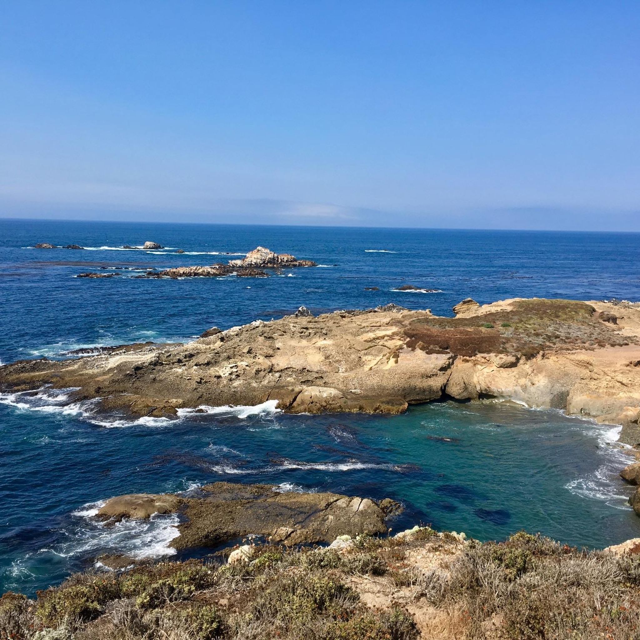
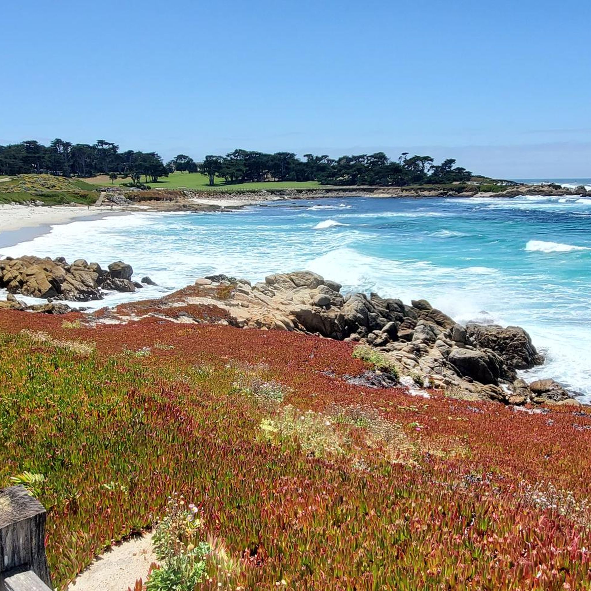
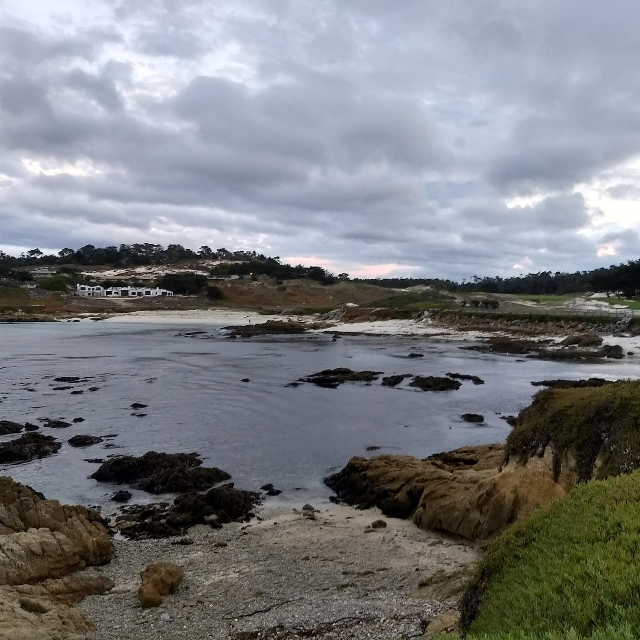
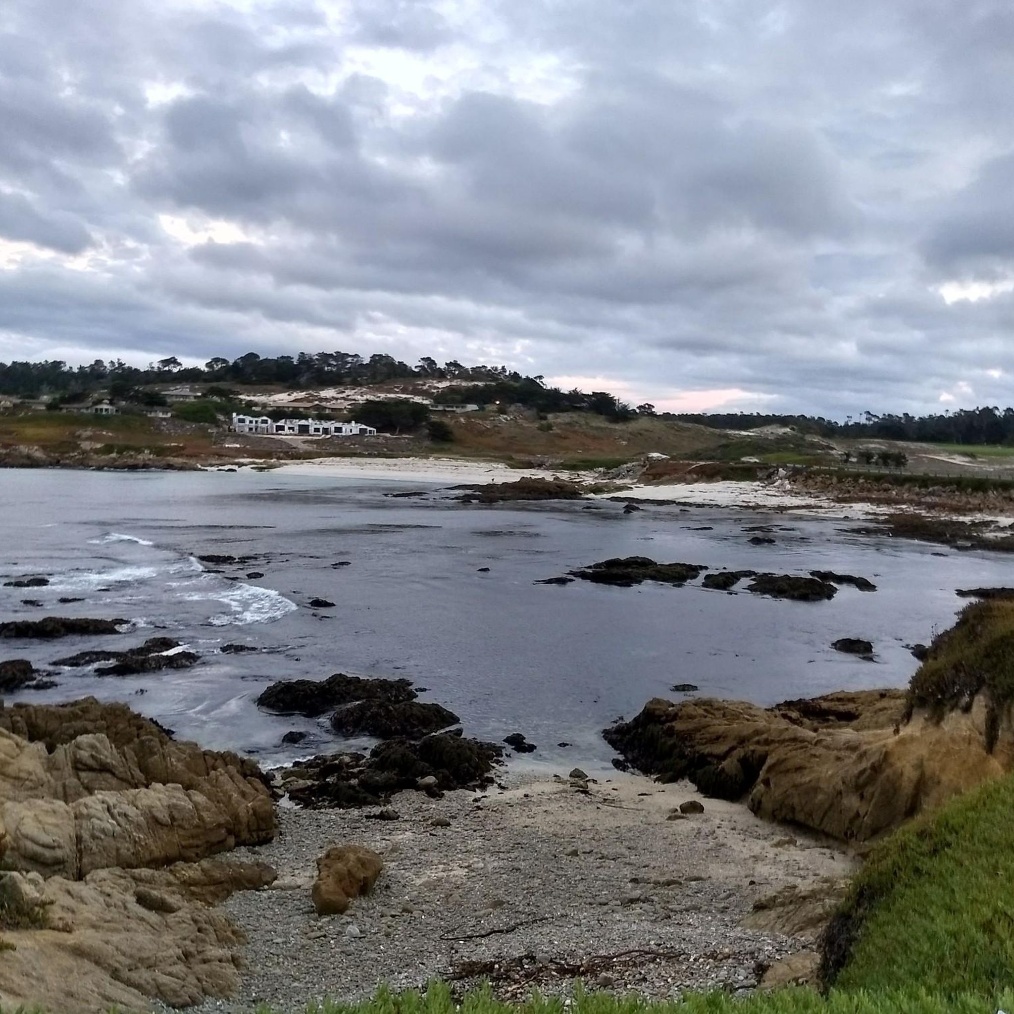
Tips from the Community

A lovely wharf you should see
0
0


A good spot to start or finish a ride in Monterey. Easy to access with flat paths around the lake, it connects well to city streets and coastal routes for planning longer rides.
0
0
A classic Monterey County climb with sweeping switchbacks and big views over Carmel Valley. It’s a tough but rewarding ride—steady grades, little traffic, and a perfect spot to pause at the top and soak in the panorama before the fast descent.
0
0

Official viewpoint of the famous Rocky Creek Bridge. It is worth pulling off the road and making the short trip to the viewing platform to take in the wonderful views.
0
0
The Rocky Creek Bridge is a beautiful reinforced‑concrete, open‑spandrel arch bridge finished in 1932. The bridge is one of the highlights along the Pacific Coast Highway.
0
0

Frequently Asked Questions
How many road cycling routes are available in Del Monte Forest?
Del Monte Forest offers a wide variety of road cycling routes, with over 50 options available. These routes cater to different skill levels, including easy, moderate, and difficult paths.
What kind of terrain can I expect when road cycling in Del Monte Forest?
Road cycling in Del Monte Forest features a diverse landscape, including routes along the Pacific coastline and through dense forest areas. You can expect a mix of flat stretches and challenging climbs, often with stunning ocean views and iconic landmarks. The terrain varies from urban coastal trails to more secluded forest roads.
Are there easy road cycling routes suitable for beginners in Del Monte Forest?
Yes, Del Monte Forest has 10 easy road cycling routes perfect for beginners or those seeking a more relaxed ride. An excellent option is the Lovers Point Beach – Shoreline Park Path loop from Pacific Grove, which is 9.5 miles (15.3 km) long and leads through coastal parks and along the shoreline.
Where can I find challenging road cycling routes with significant elevation in Del Monte Forest?
For experienced road cyclists seeking a challenge, Del Monte Forest offers 10 difficult routes with significant elevation changes. A notable option is the Lone Cypress Viewpoint – Bixby Creek Bridge Viewpoint 🌉 loop from Historical Pacific Grove Whistle Stop, which covers 71.3 miles (114.7 km) with over 1,300 meters of elevation gain, providing extensive coastal views.
Are there any circular road cycling routes in Del Monte Forest?
Many road cycling routes in Del Monte Forest are designed as loops, allowing you to start and end at the same point. Examples include the Lone Cypress Viewpoint – Cannery Row, Monterey loop from Historical Pacific Grove Whistle Stop and the Monterey Bay Coastal Trail – Del Monte Lake Trail loop from Historical Pacific Grove Whistle Stop.
Which road cycling routes offer the most scenic viewpoints in Del Monte Forest?
The region is renowned for its scenic beauty. Routes like the Lone Cypress Viewpoint – Bixby Creek Bridge Viewpoint 🌉 loop from Historical Pacific Grove Whistle Stop offer extensive coastal views. You can also find stunning vistas at highlights such as Sea Lion Point and the iconic Lone Cypress Tree, often accessible from various routes.
What interesting landmarks or attractions can I see along road cycling routes in Del Monte Forest?
Road cycling routes in Del Monte Forest often pass by significant landmarks and natural attractions. You might encounter Point Lobos State Natural Reserve, Fishermans Wharf, and various beaches like Sand Hill Cove. Some routes also go near El Estero Lake Park 🌳 and the Del Monte Lake Trail.
What do other road cyclists enjoy most about road cycling in Del Monte Forest?
The road cycling experience in Del Monte Forest is highly rated by the komoot community, with an average score of 4.9 stars from over 40 reviews. Cyclists frequently praise the diverse terrain, from coastal paths to forest roads, and the stunning scenic viewpoints that offer ocean vistas and glimpses of iconic landmarks.
When is the best time of year for road cycling in Del Monte Forest?
Del Monte Forest, benefiting from its coastal California location, generally offers pleasant road cycling conditions year-round. However, the spring and fall months often provide the most ideal weather with mild temperatures and less chance of fog, making it perfect for enjoying both coastal and forest routes.
Are there road cycling routes that pass by cafes or places to stop for refreshments?
Yes, many routes, especially those that venture into or near Pacific Grove and Monterey, will have opportunities for refreshments. Routes like the Lone Cypress Viewpoint – Cannery Row, Monterey loop from Historical Pacific Grove Whistle Stop pass through urban stretches where cafes and eateries are readily available.
What are the parking options for road cyclists in Del Monte Forest?
Parking for road cyclists in Del Monte Forest is generally available in and around the towns of Pacific Grove and Monterey, which serve as common starting points for many routes. Specific trailheads or coastal access points may also offer designated parking areas, though availability can vary, especially during peak seasons.
Is public transport available to access road cycling routes in Del Monte Forest?
Public transport options exist in the greater Monterey Peninsula area, including bus services that can connect to various points near Del Monte Forest. Cyclists should check local transit schedules and policies regarding bicycles to plan their access to specific route starting points.
Most popular attractions around Del Monte Forest

Get inspired with the komoot mobile app


Explore more
Browse the best Road cycling routes in other regions.
